Sylvester Trail
View Photos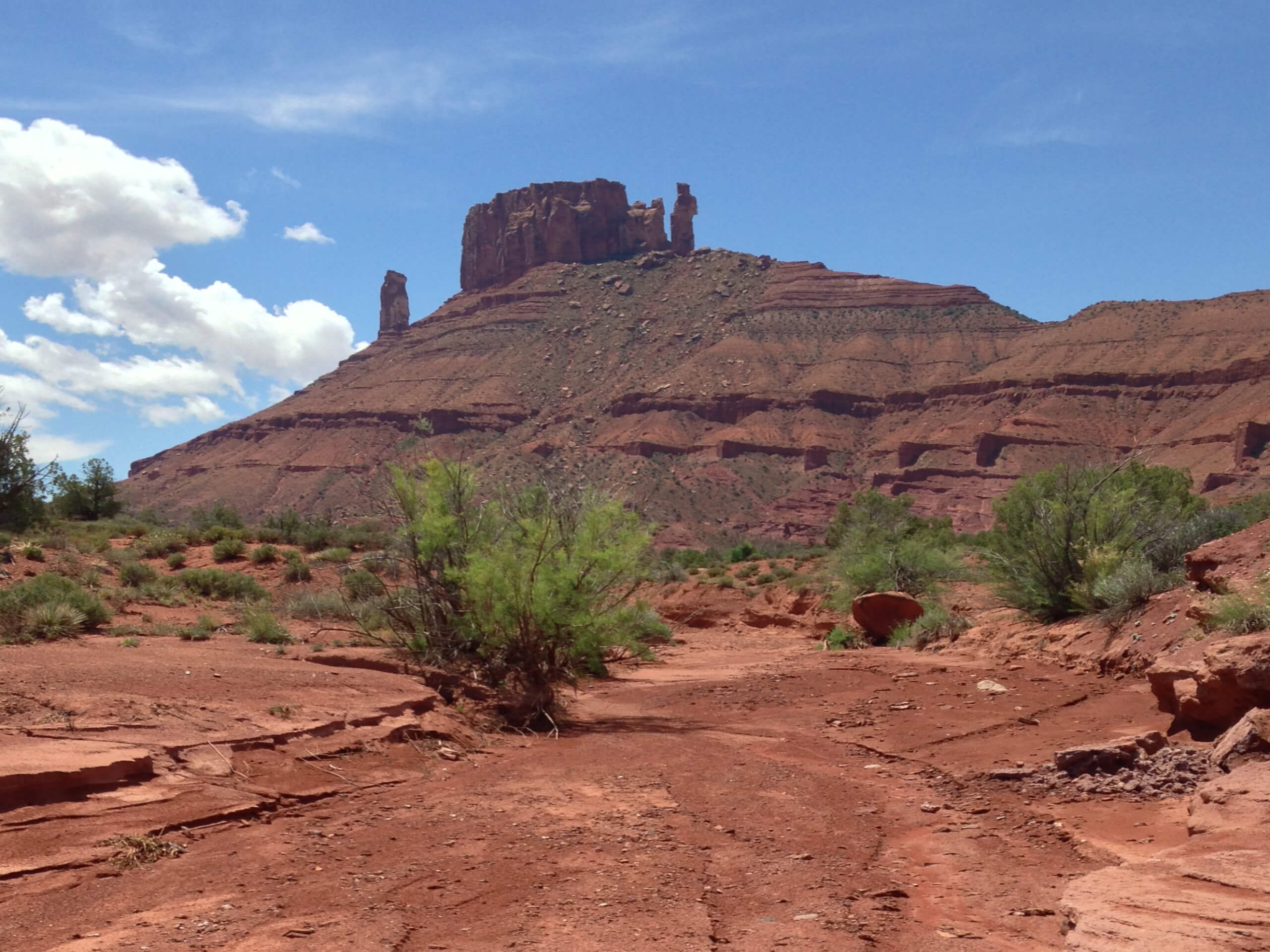
Sylvester Trail
Difficulty Rating:
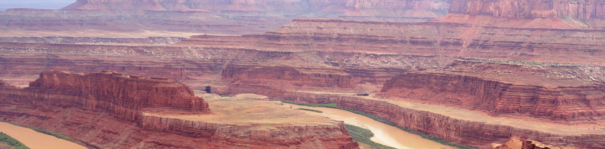
The Sylvester Trail is a moderately challenging route with beautiful views of the Utah desert. This hike gets relatively low traffic, so it’s a great place to go to escape the crowds of Arches National Park and still see some incredible rock formations.
Getting there
Turn off of highway 128 northeast of Moab, UT onto Professor Valley Road. Follow the road for 2.2mi to the parking area at the very end; the Sylvester Trail begins here.

About
| Backcountry Campground | No |
| When to do | March to November |
| Pets allowed | Yes |
| Family friendly | Older Children only |
| Route Signage | Poor |
| Crowd Levels | Low |
| Route Type | Out and back |
Sylvester Trail
Elevation Graph
Weather
Sylvester Trail Description
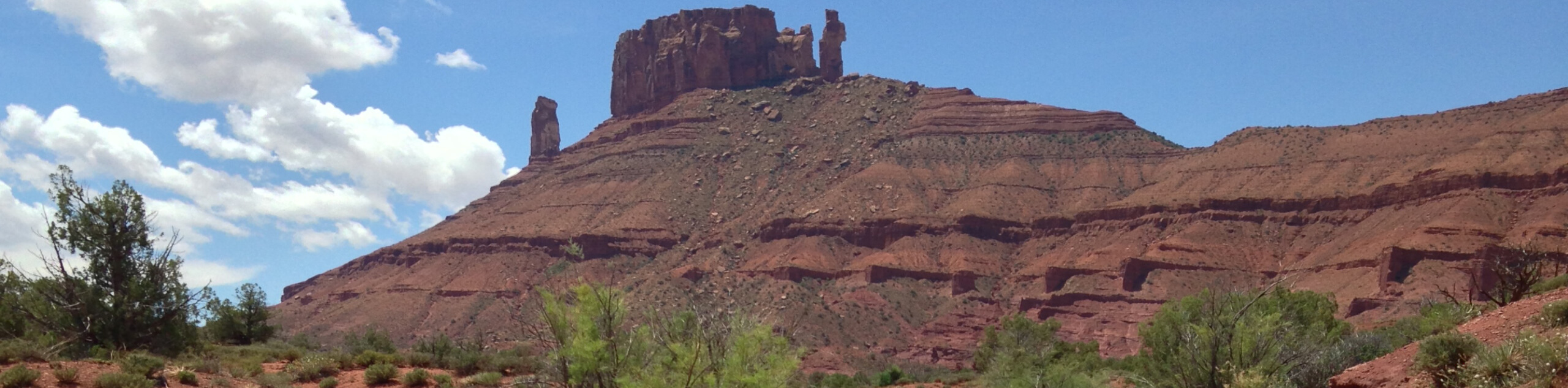
The Sylvester Trail is a moderate, out-and-back route just northeast of the city of Moab. This trail is shared by hikers and horseback riders, so be sure to keep an eye out for any ponies trying to pass you by. This hike is dog-friendly but keep in mind that you may run into horses, so this may not be the best choice for pups who scare easily. The Sylvester Trail takes you through some beautiful desert terrain and this route gets relatively low traffic, so you may just be lucky enough to have the trail all to yourself.
From the parking area at the end of Professor Valley road take a right and follow the trail south for 3.8mi past The Priest, and Castleton Tower to the west.
After 3.8mi, the trail will intercept another path; this marks the turn-around point for the Sylvester Trail. Head back up to the trailhead following the same route. If you are looking for another adventure, the Professor Creek and Mary Jane Slot Canyon Trail is another fantastic hike from the same trailhead.
Similar hikes to the Sylvester Trail hike
Big Horn Overlook Trail
The Big Horn Overlook Trail is a family-friendly hike in Dead Horse Point State Park. This trail takes you to…
Colorado River Overlook Trail
The Colorado River Overlook Trail is a short and easy route that affords hikers stunning views of the Utah desert.…
Dead Horse Rim Loop and Big Horn Overlook Trail
The Dead Horse Rim Loop and Big Horn Overlook Trail is a fantastic day-hike in the southern section of Dead…
Comments