
Onion Bench Creek
View Photos
Onion Bench Creek
Difficulty Rating:
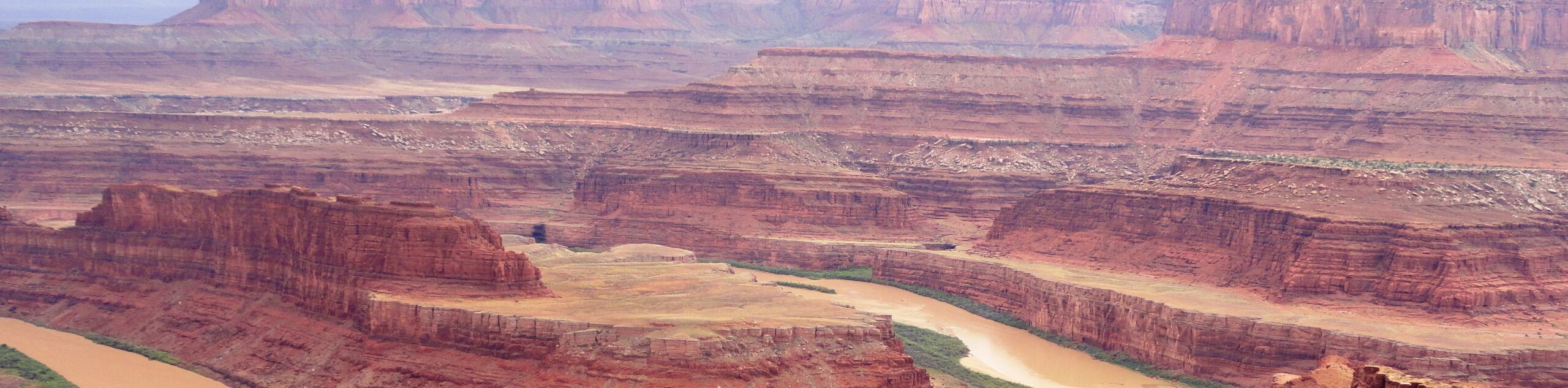
The Onion Bench Creek Trail is a moderately challenging hike in Professor Valley northeast of the city of Moab. This trail is shared by hikers and horseback riders and offers stunning views of the La Sal Range and Fisher Towers. Dogs are allowed to join you on the Onion Bench Creek Trail as well.
Getting there
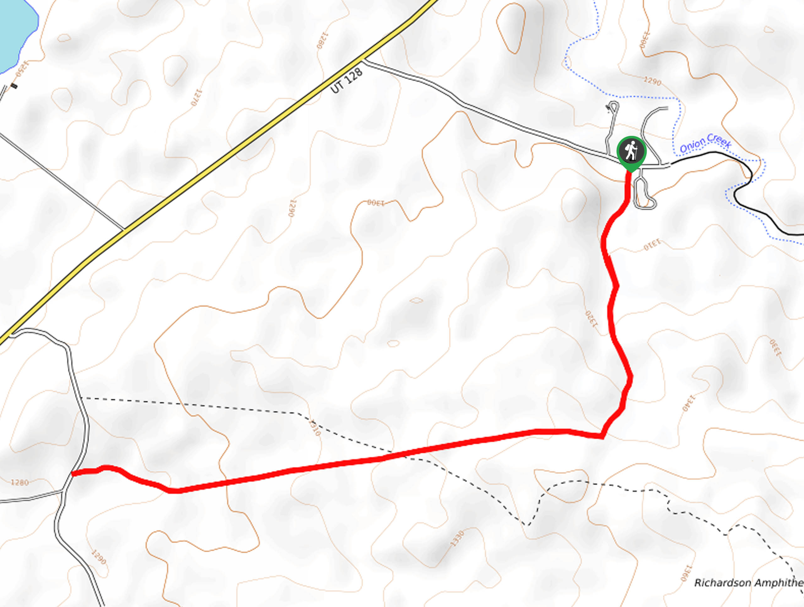
From highway 128 northeast of Moab, turn onto Onion Creek Road. Follow the road for 0.6mi to the Upper Onion Creek Campground. The Onion Bench Creek Trail begins here.

About
| Backcountry Campground | Upper Onion Creek Camping Area at Trailhead |
| When to do | March to November |
| Pets allowed | Yes |
| Family friendly | Older Children only |
| Route Signage | Average |
| Crowd Levels | Low |
| Route Type | Out and back |
Onion Bench Creek
Elevation Graph
Weather
Onion Bench Creek Description
The Onion Bench Creek Trail is a dog-friendly trail with stunning views of the Moab Valley. This trail is used by hikers and by horseback riders, so be mindful of any horses on the trail and don’t bring along the dog if they spook easily. The Onion Bench Creek Trail is known for its incredible views. From this trail, you will see Fisher Towers, The Priest and Nuns Formation, Castle Rock, and The La Sal Range. Bring a camera; this hike is some incredible opportunities for Instagram-worthy shots.
From the Upper Onion Creek Campground, follow the trail south for just over a mile to an intersection, keep straight here and follow the path down for another 0.8mi until the trail meets up with Van Pelts Road.
This is the turnaround point for the Onion Bench Trail; follow the same path back to the campground where you can head on home or spend a night sleeping under the stars.
Similar hikes to the Onion Bench Creek hike
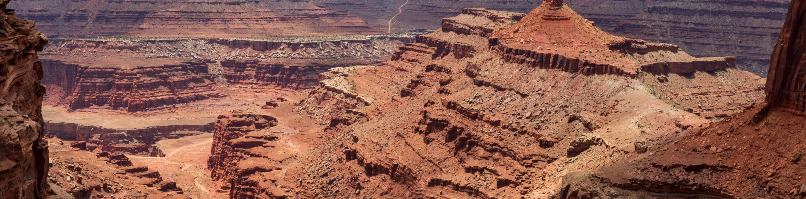
Big Horn Overlook Trail
The Big Horn Overlook Trail is a family-friendly hike in Dead Horse Point State Park. This trail takes you to…
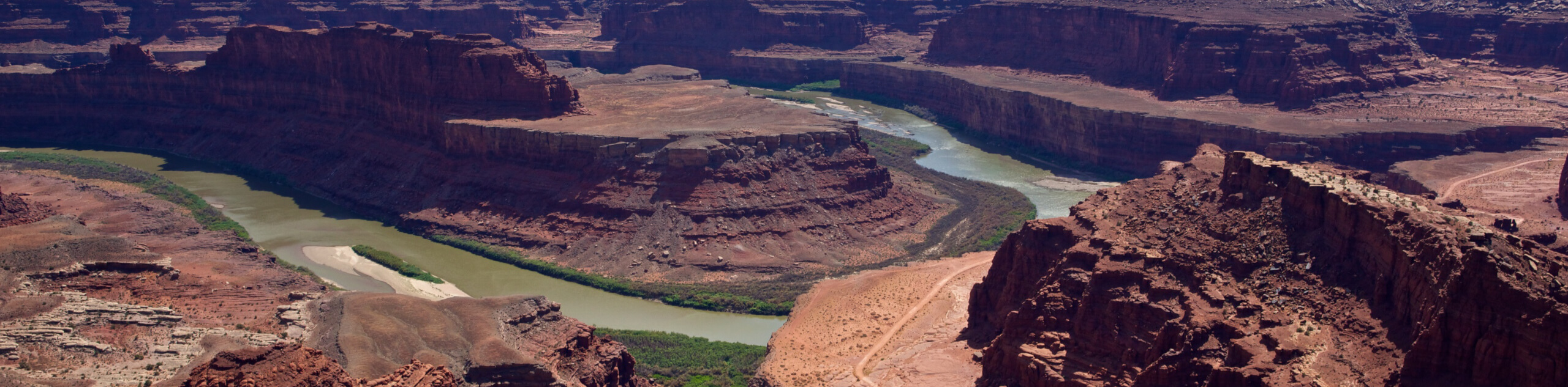
Colorado River Overlook Trail
The Colorado River Overlook Trail is a short and easy route that affords hikers stunning views of the Utah desert.…
Dead Horse Rim Loop and Big Horn Overlook Trail
The Dead Horse Rim Loop and Big Horn Overlook Trail is a fantastic day-hike in the southern section of Dead…
Comments