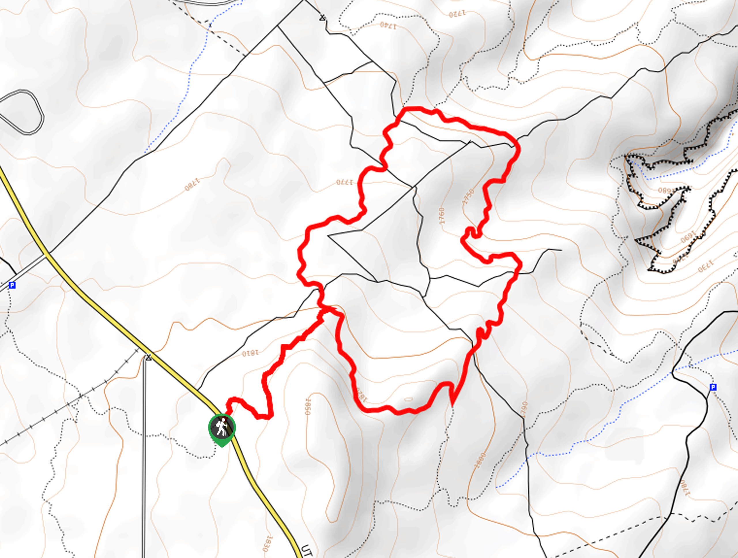
Mustang Loop Trail
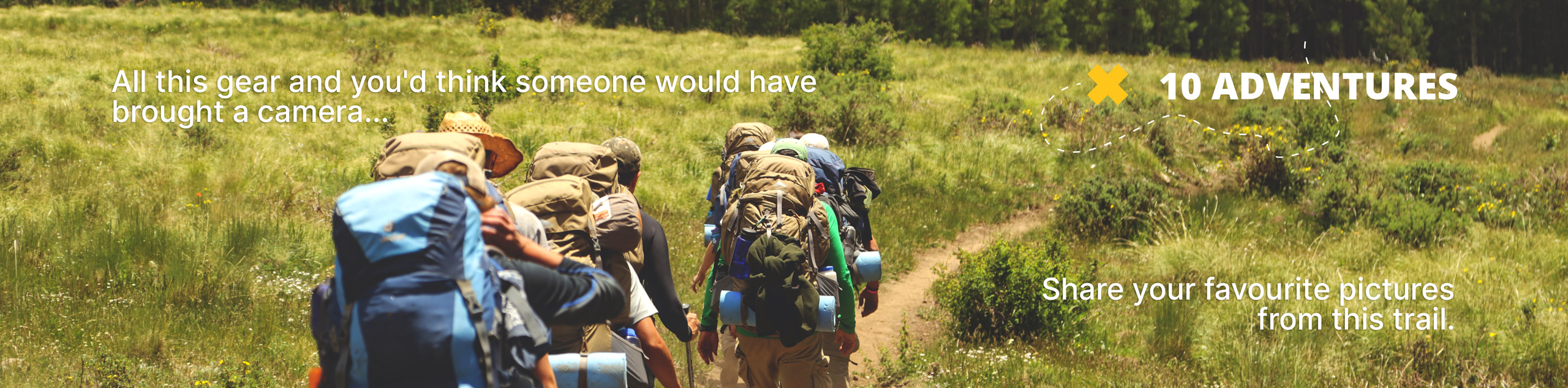
View Photos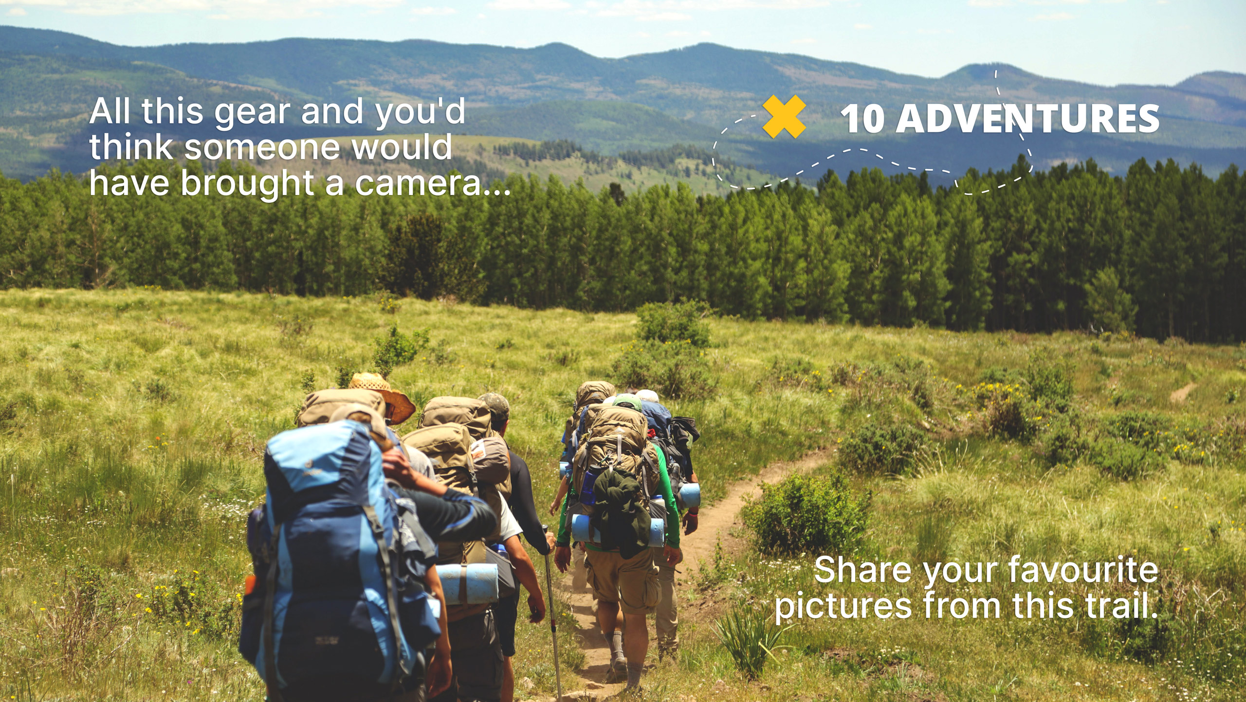
Mustang Loop Trail
Difficulty Rating:
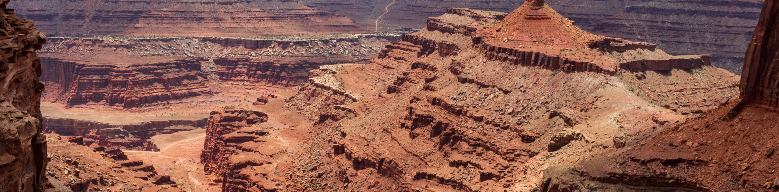
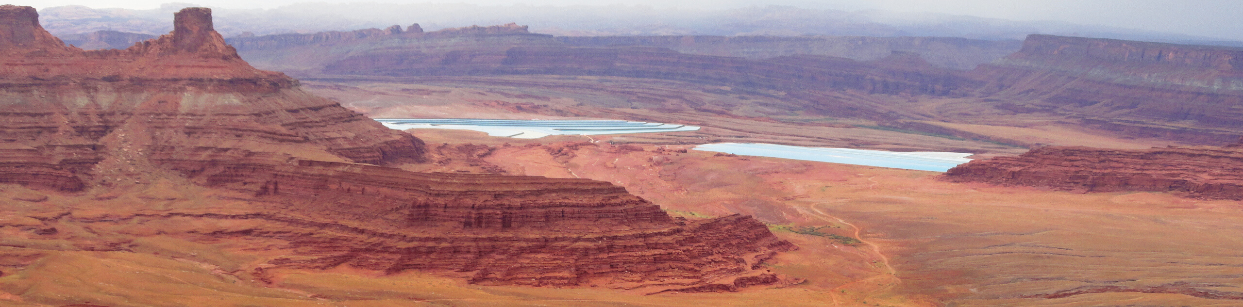
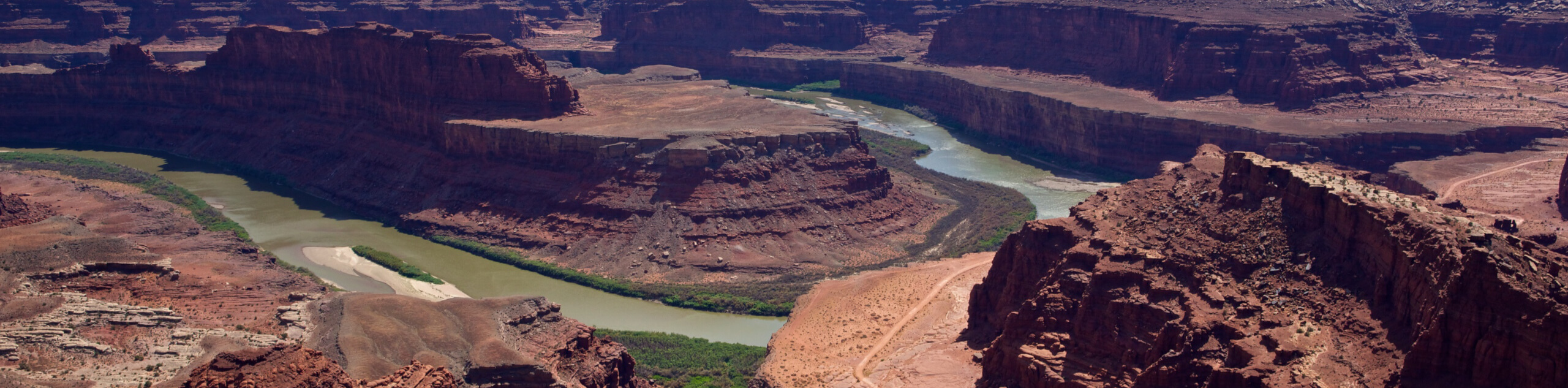
The Mustang Loop is a fantastic, little-hiked trail nestled between Arches National Park and Canyonlands National Park. This trail is shared by hikers and mountain bikers, and features fantastic overlooks with sweeping desert vistas. The Mustang Loop is a dog-friendly trail, however, pups must be kept on leash for the duration of their hike.
Getting there
This trail begins 0.6mi north of Gemini Bridges Road on the east side of highway 313.

About
| Backcountry Campground | No |
| When to do | Year-Round |
| Pets allowed | Yes - On Leash |
| Family friendly | Yes |
| Route Signage | Average |
| Crowd Levels | Low |
| Route Type | Lollipop |
Mustang Loop Trail
Elevation Graph
Weather
Mustang Loop Trail Description
The Mustang Loop is a low-traffic hike in a beautiful area of the Utah desert. This trail is shared by hikers and mountain bikers, so be aware of your surroundings and allow bikers to zip past you. Dogs are allowed on this trail, but they must be kept on leash for the duration of their hike. The Mustang Loop is part of a larger trail network, so there are lots of opportunities for exploration in this stunning area.
From highway 313, follow the Chisholm Trail eastward for half a mile to a divide. This divide marks the beginning and end of the Mustang Loop.
Follow the loop for 2.6mi back to the start, then follow the Chisholm Trail back out to the highway. There are lots of trails that intersect the loop along the way, but the Mustang Loop is very well marked and very well signed, so don’t worry about getting lost.
Similar hikes to the Mustang Loop Trail hike
Big Horn Overlook Trail
The Big Horn Overlook Trail is a family-friendly hike in Dead Horse Point State Park. This trail takes you to…
Dead Horse Visitors Center Loop
The Dead Horse Visitor Center Loop is a great way to stretch your legs and see some incredible views of…
Colorado River Overlook Trail
The Colorado River Overlook Trail is a short and easy route that affords hikers stunning views of the Utah desert.…
Comments