Mount Peale Trail
View Photos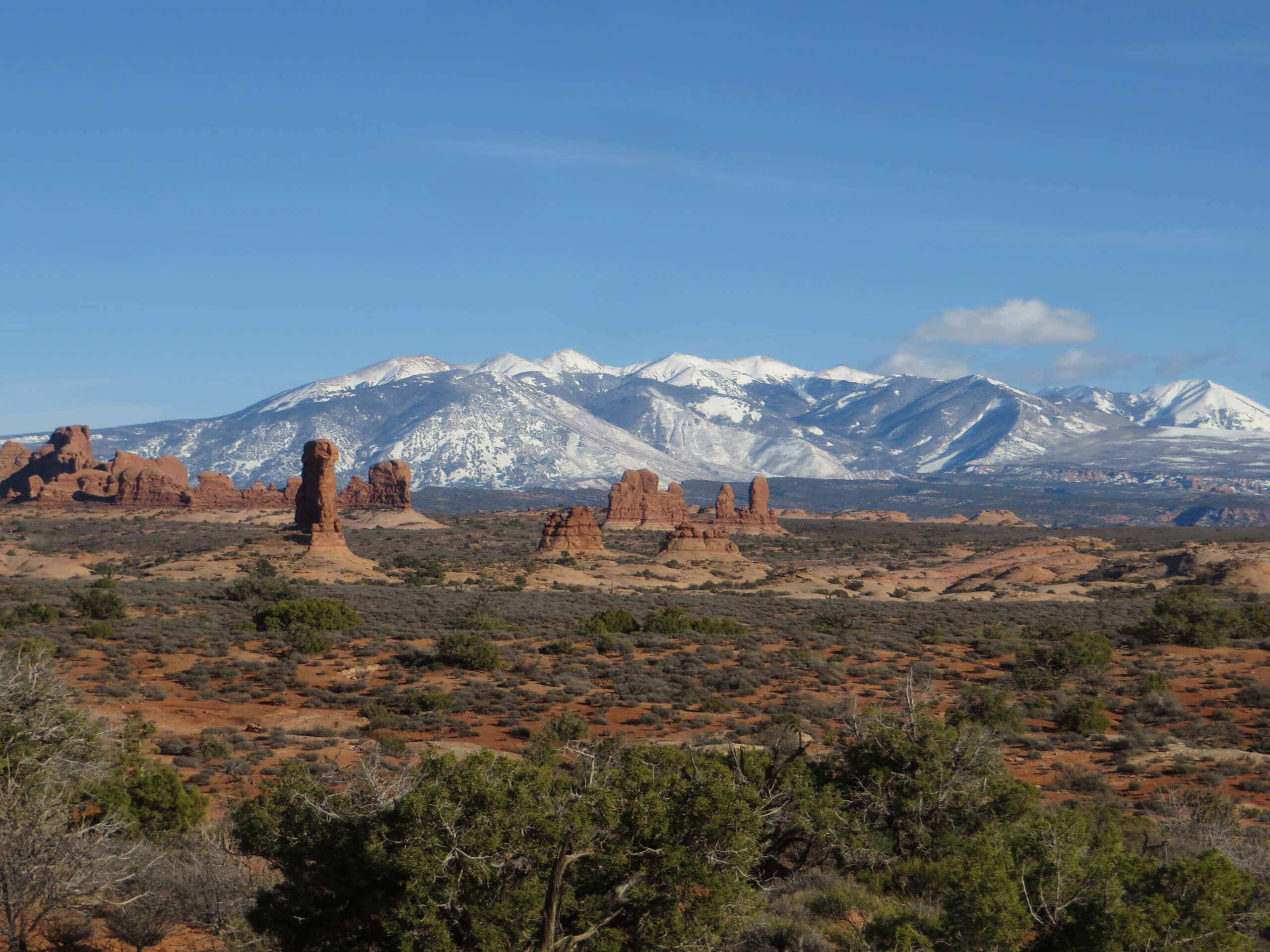
Mount Peale Trail
Difficulty Rating:
The Mount Peale trail is a challenging hike up to the summit of Mount Peale in the Manti-La Sal National Forest. This trail requires route-finding and scrambling. This hike is dog-friendly as long as your pup is kept on a leash for the duration of your climb.
Getting there
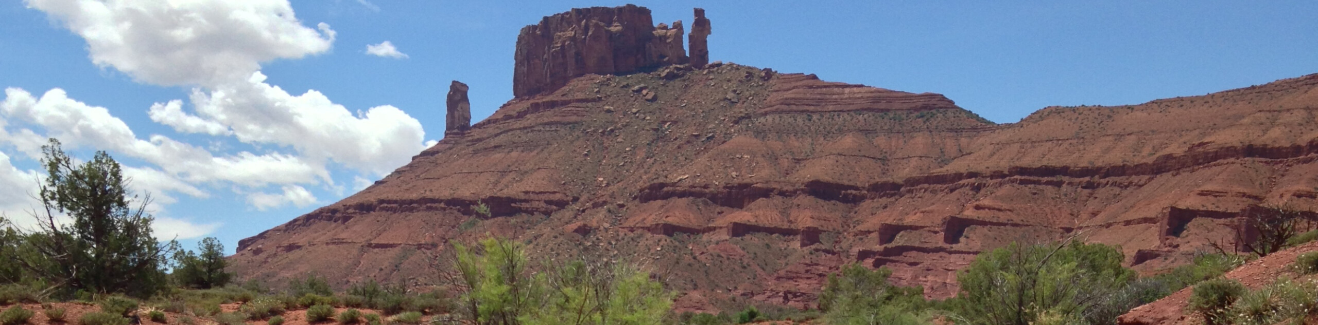
The Mount Peale Trail begins at the top of La Sal Pass in the Manti-La Sal National Forest southeast of Moab, UT.

About
| Backcountry Campground | Free camping at Mount Peale Campground |
| When to do | year-round |
| Pets allowed | Yes - On Leash |
| Family friendly | No |
| Route Signage | None |
| Crowd Levels | Low |
| Route Type | Out and back |
Mount Peale Trail
Elevation Graph
Weather
Mount Peale Trail Description
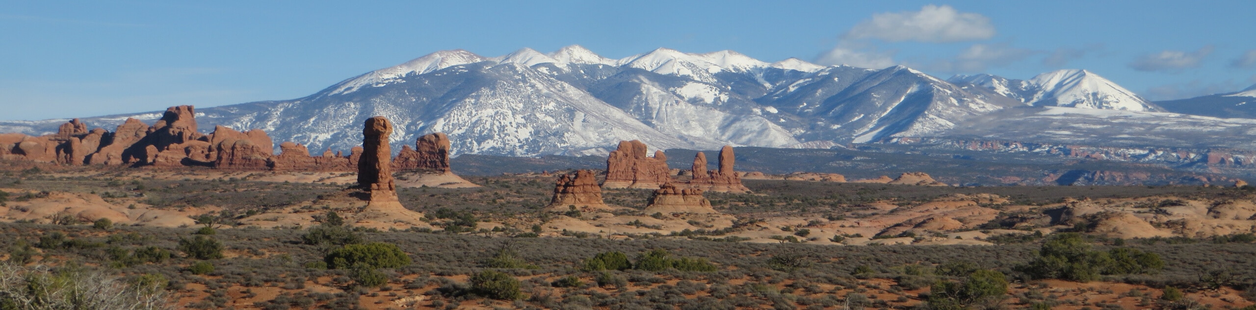
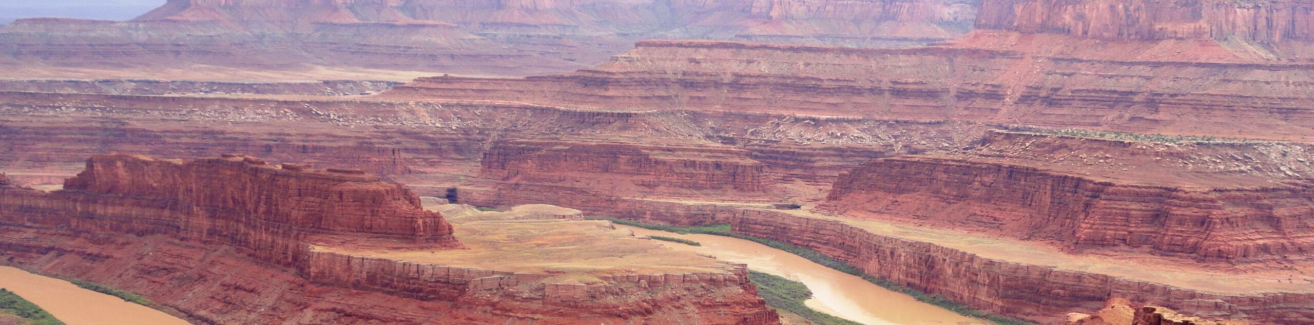
The Mount Peale trail is a rewarding route for experienced hikers. This trail requires that hikers be adept at both route-finding and light scrambling. Good hiking shoes are an absolute must on this trail, and we highly recommend bringing along a map or a GPS device as this trail is not marked. The hike up to the summit of Mount Peale gets little traffic and is a great way to get some solo adventure time in the Utah desert. The views from this hike are more than worth the effort. Mount Peale provides a great vantage point overlooking Moab, Arches National Park, Dead Horse Point State Park, and Canyonlands National Park.
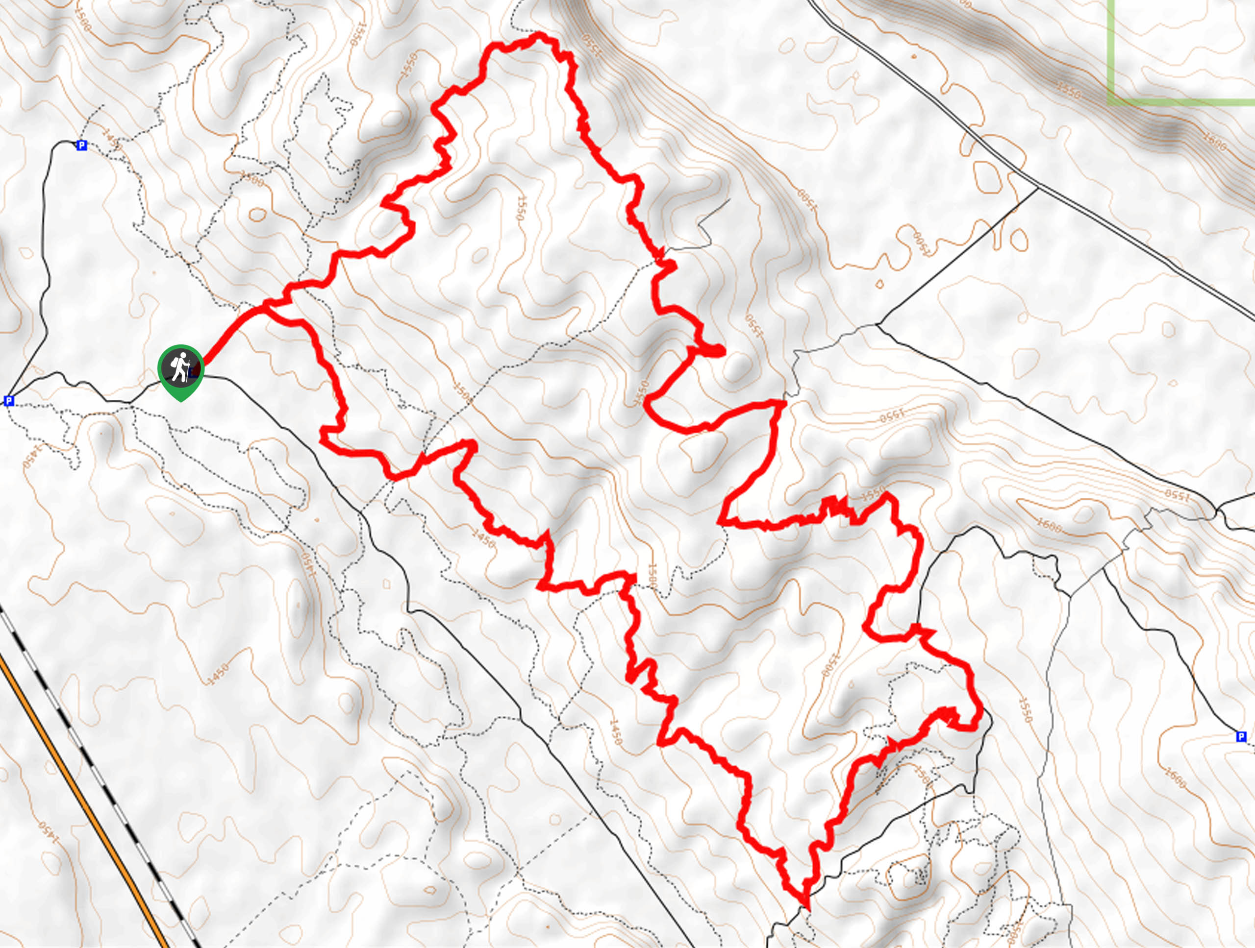
From the top of La Sal Pass, look for the Mount Peale/Burlfriends trailhead on the north side of the road. Follow the path northeast for 0.5mi to the divide. Take the right path here; the path to your left leads up to the summit of Mount Tukuhnikivatz. Follow the path another 0.2mi to where it meets up with La Sal Creek. Turn left and follow the creekbed northward for 0.5mi to the Mount Peale campground. At the campground, continue following the creekbed northward past the treeline; after about 0.6mi the trail will cut eastward to the saddle. The summit is just another 0.4mi east from the saddle.
At the summit of Mount Peale, take a moment to admire the stunning views. It can be a bit chilly up top, so bring an extra layer so you can properly enjoy your time on the summit. When you are ready to head home, follow the same trail back out to the parking area at La Sal Pass.
Similar hikes to the Mount Peale Trail hike
Dead Horse Rim Loop and Big Horn Overlook Trail
The Dead Horse Rim Loop and Big Horn Overlook Trail is a fantastic day-hike in the southern section of Dead…
Klondike Bluff Outer Loop
The Klondike Bluffs Outer Loop is a great low-traffic trail just outside of Arches National Park. This route is primarily…
Sylvester Trail
The Sylvester Trail is a moderately challenging route with beautiful views of the Utah desert. This hike gets relatively low…
Comments