

Moab Canyon Pathway
View PhotosMoab Canyon Pathway
Difficulty Rating:
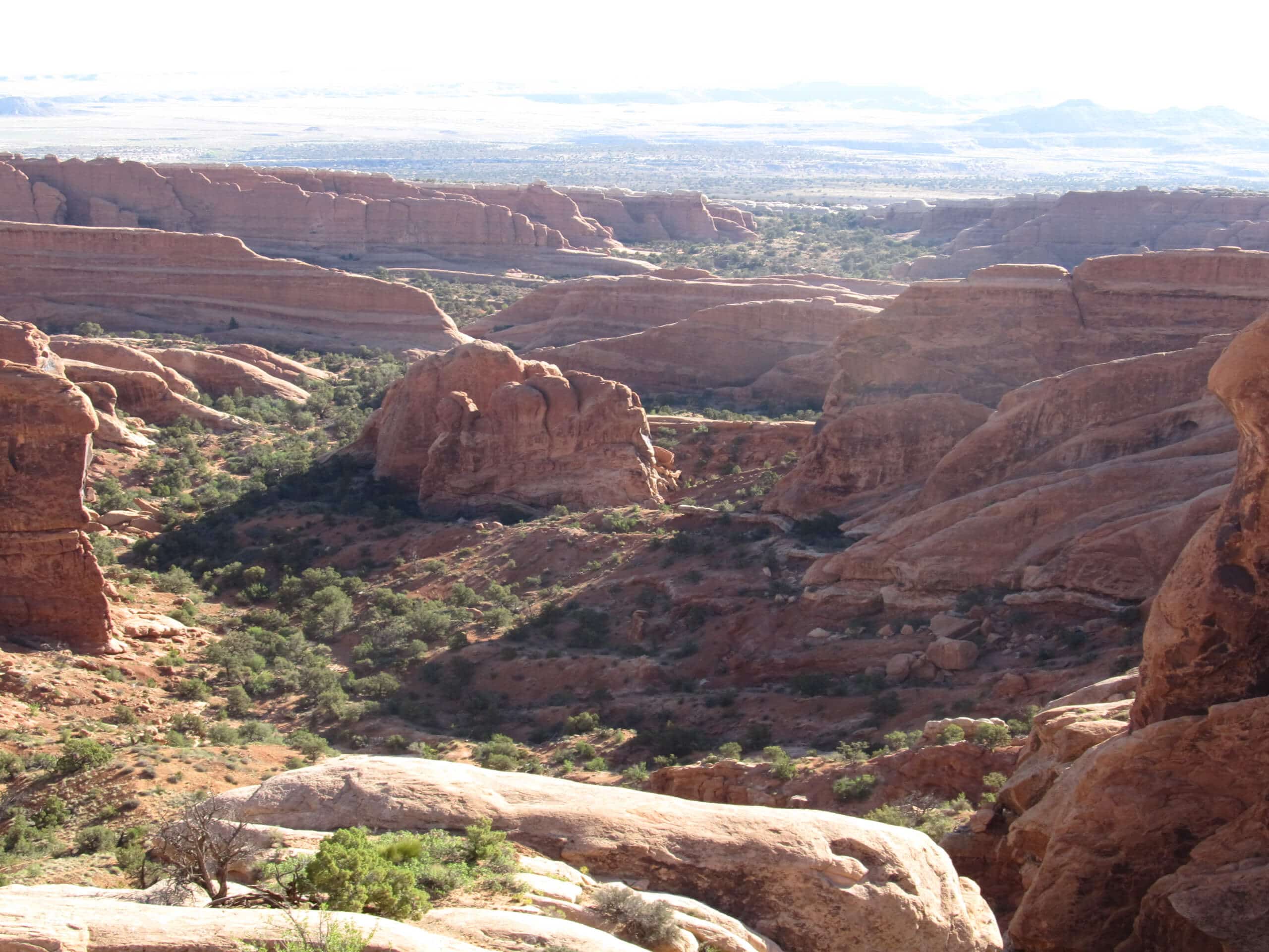
The Moab Canyon Pathway Trail is a beautiful section of the Moab Canyon Pathway. This trail is used by hikers, road runners, mountain bikers, and road bikers. This is one of the best paved trails in the area and is a great way to enjoy a long walk in the desert without worrying about sketchy terrain.
Getting there
The Moab Canyon Pathway begins at the intersection of North 500 West and highway 191 at the northwest tip of Moab, UT.
About
| Backcountry Campground | No |
| When to do | year-round |
| Pets allowed | No |
| Family friendly | Yes |
| Route Signage | Average |
| Crowd Levels | Low |
| Route Type | One Way |
Moab Canyon Pathway
Elevation Graph
Weather
Moab Canyon Pathway Description
The Moab Canyon Trail is a lovely stroll along a well-paved pathway. This trail is shared by hikers, runners, mountain bikers, and road bikers, so when hiking, make sure you let faster folks pass you by. This is a point-to-point hike, so have a shuttle plan set in place before embarking. Alternatively, you can always hike a section of the trail and turn back when you’ve had enough. This trail is great for folks who want a beautiful desert hike but don’t want to navigate the steep and loose desert trails.
From the trailhead, follow the well marked trail as it heads northwest along highway 191. Cross over the Colorado River at Lions Park. 3.7mi from the river the trail will divide—stay left. You are now entering a trail network with lots of intersecting paths. Don’t panic—as long as you stick to the pavement and keep heading northwest you won’t get lost. Follow the trail entitled the Bar M Route to the highway then take a left to cross under highway 191 and walk the last 1.3mi to the trail’s end at Giant’s cafe.
If you have time before your shuttle comes to pick you up, check out the dinosaur fossils around the trail’s end, or grab a coffee and a well deserved treat at the cafe.
Similar hikes to the Moab Canyon Pathway hike

Big Horn Overlook Trail
The Big Horn Overlook Trail is a family-friendly hike in Dead Horse Point State Park. This trail takes you to…

Colorado River Overlook Trail
The Colorado River Overlook Trail is a short and easy route that affords hikers stunning views of the Utah desert.…

Dead Horse Rim Loop and Big Horn Overlook Trail
The Dead Horse Rim Loop and Big Horn Overlook Trail is a fantastic day-hike in the southern section of Dead…


Comments