
Jeep Arch
View Photos
Jeep Arch
Difficulty Rating:
The Jeep Arch Trail is an adventurous little loop just outside of Moab. This trail follows a series of cairns and blazes that will lead you to a unique looking arch. This trail is dog-friendly but your four-legged friends do need to be kept on-leash.
Getting there
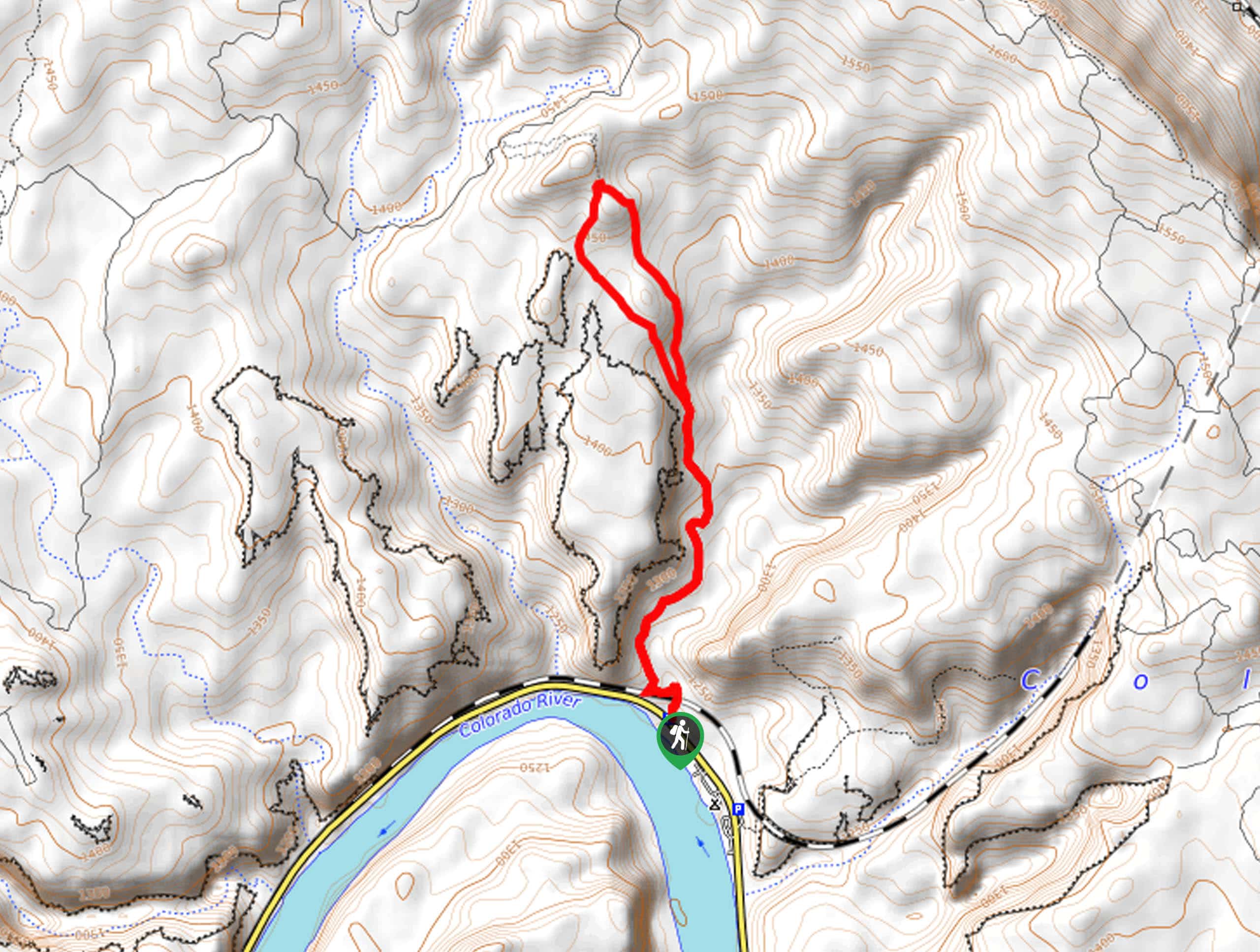
The Jeep Arch trail begins at the Jeep Arch Trailhead on Potash Road just 0.3mi north of the popular Corona Arch Trailhead in the Gold Bar Canyon.

About
| Backcountry Campground | No |
| When to do | Year-round |
| Pets allowed | Yes - On Leash |
| Family friendly | Older Children only |
| Route Signage | Poor |
| Crowd Levels | Moderate |
| Route Type | Lollipop |
Jeep Arch
Elevation Graph
Weather
Jeep Arch Description
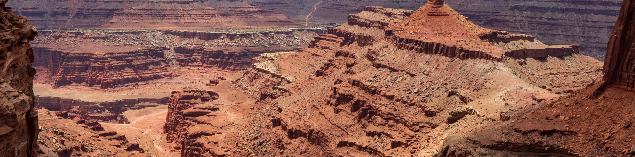
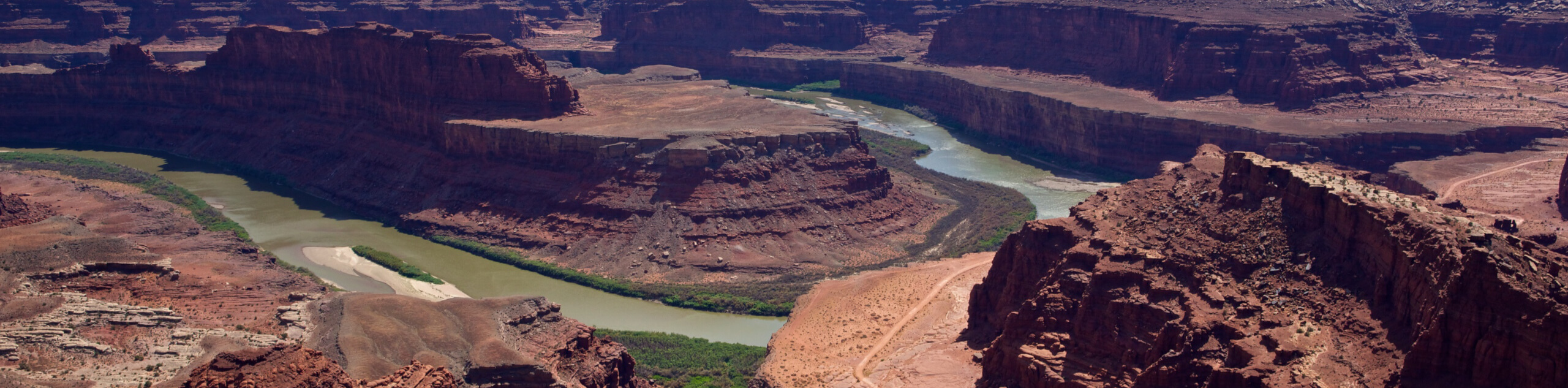
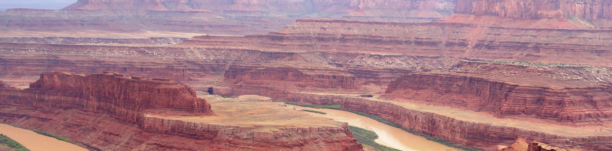
The Jeep Arch trail is an adventurous hike just outside of Moab. This trail is marked with cairns and blazes, but it can be easy to get off-route. We recommend downloading a trail map or bringing along a GPS with you on this hike. This trail is accessible to dogs on leash but has very little shade so be kind to your pup and save this trail for a cooler day. This trail has some steep sections, so if you do bring your dog, they must be physically able to navigate some challenging terrain. No matter what, don’t forget to bring lots of water with you- this trail gets super hot in the desert sun. The Jeep Arch itself is a really neat geological structure that looks as though it formed around… well… a Jeep! Bring along a camera to snap some photos of this cool-looking arch. This hike is less popular than the neighbouring Corona Arch Trail, so this is a great place to get away from the crowds of Moab.
From the Jeep Arch Trailhead, cross the railroad tracks and follow the trail north for 1.1mi. The path itself travels over slickrock and is not well defined, so keep your eyes peeled for the cairns and green-paint blazes that mark the way. 1.1mi in, the trail will divide. This marks the beginning of the loop to the arch. Take a left at this junction and follow the trail 0.7mi to the arch. This loop section is not well marked, so this is a good place to have your downloaded map or GPS out. At the arch, take a rest and admire this unique geological formation.
To head back to the car: follow the other half of the loop 0.7mi back to the loop’s beginning and then follow the main trail back to the parking area.
Similar hikes to the Jeep Arch hike
Big Horn Overlook Trail
The Big Horn Overlook Trail is a family-friendly hike in Dead Horse Point State Park. This trail takes you to…
Colorado River Overlook Trail
The Colorado River Overlook Trail is a short and easy route that affords hikers stunning views of the Utah desert.…
Dead Horse Rim Loop and Big Horn Overlook Trail
The Dead Horse Rim Loop and Big Horn Overlook Trail is a fantastic day-hike in the southern section of Dead…
Comments