
Jackson Hole Trail
View Photos
Jackson Hole Trail
Difficulty Rating:
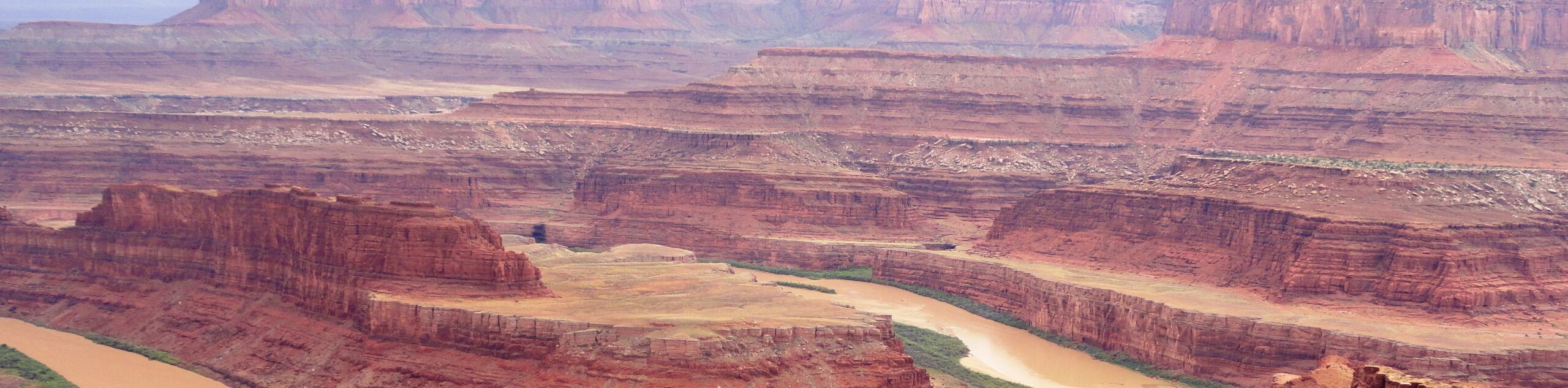
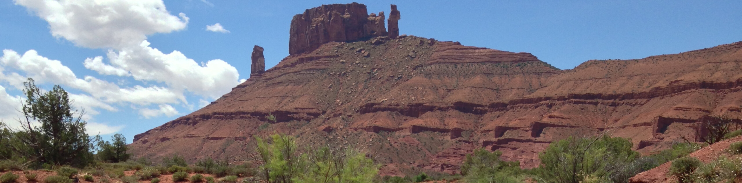
The Jackson Hole Trail is a long hike through a beautiful area just outside the city of Moab. This trail is used by day hikers, mountain-bikers, and OHV/ATV drivers. Dogs are allowed along this trail as long as they are kept on leash for the duration of their hike.
Getting there
From highway 191 in Moab, follow Kane Creek Boulevard for 17.0mi as it turns into Kane Creek Road and then a Forest Road. Park at the first junction- the Jackson Hole Trail begins on the gravel trail heading north.

About
| Backcountry Campground | No |
| When to do | Year-round |
| Pets allowed | Yes - On Leash |
| Family friendly | No |
| Route Signage | Average |
| Crowd Levels | Low |
| Route Type | Lollipop |
Jackson Hole Trail
Elevation Graph
Weather
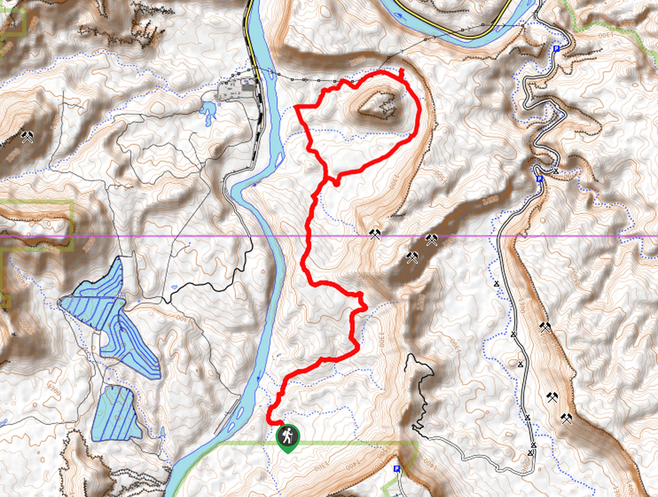
Jackson Hole Trail Description
The Jackson Hole hike is a long trail through a beautiful desert landscape just outside of Moab. This hike is shared by mountain bikers, and ATV/OHV drivers so be aware of your surroundings and let motorized vehicles and bikes pass. As with any hike in the desert, this trail gets hot and sunny so be sure to bring a good sunhat and more water than you think you’ll need. This hike may not feature the jaw-dropping vistas of Arches National Park, but if you are looking for a long, quiet hike with the opportunity to see desert flora and fauna, the Jackson Hole trail is a great choice for you.
From the parking area, follow the gravel road north for 4.0mi, staying to the right at the various divides. After 4.0mi, the trail will split- this marks the beginning (and end) of the 4.0mi loop section. Take a left to follow the loop clockwise. Stay to the right at the two forks along the loop and carry on along the trail until you arrive back at the start of the loop.
Once you’ve completed the loop, follow the gravel path back south to the parking area.
Similar hikes to the Jackson Hole Trail hike
Dead Horse Rim Loop and Big Horn Overlook Trail
The Dead Horse Rim Loop and Big Horn Overlook Trail is a fantastic day-hike in the southern section of Dead…
Klondike Bluff Outer Loop
The Klondike Bluffs Outer Loop is a great low-traffic trail just outside of Arches National Park. This route is primarily…
Sylvester Trail
The Sylvester Trail is a moderately challenging route with beautiful views of the Utah desert. This hike gets relatively low…
Comments