
Captain Ahab Trail
View Photos
Captain Ahab Trail
Difficulty Rating:
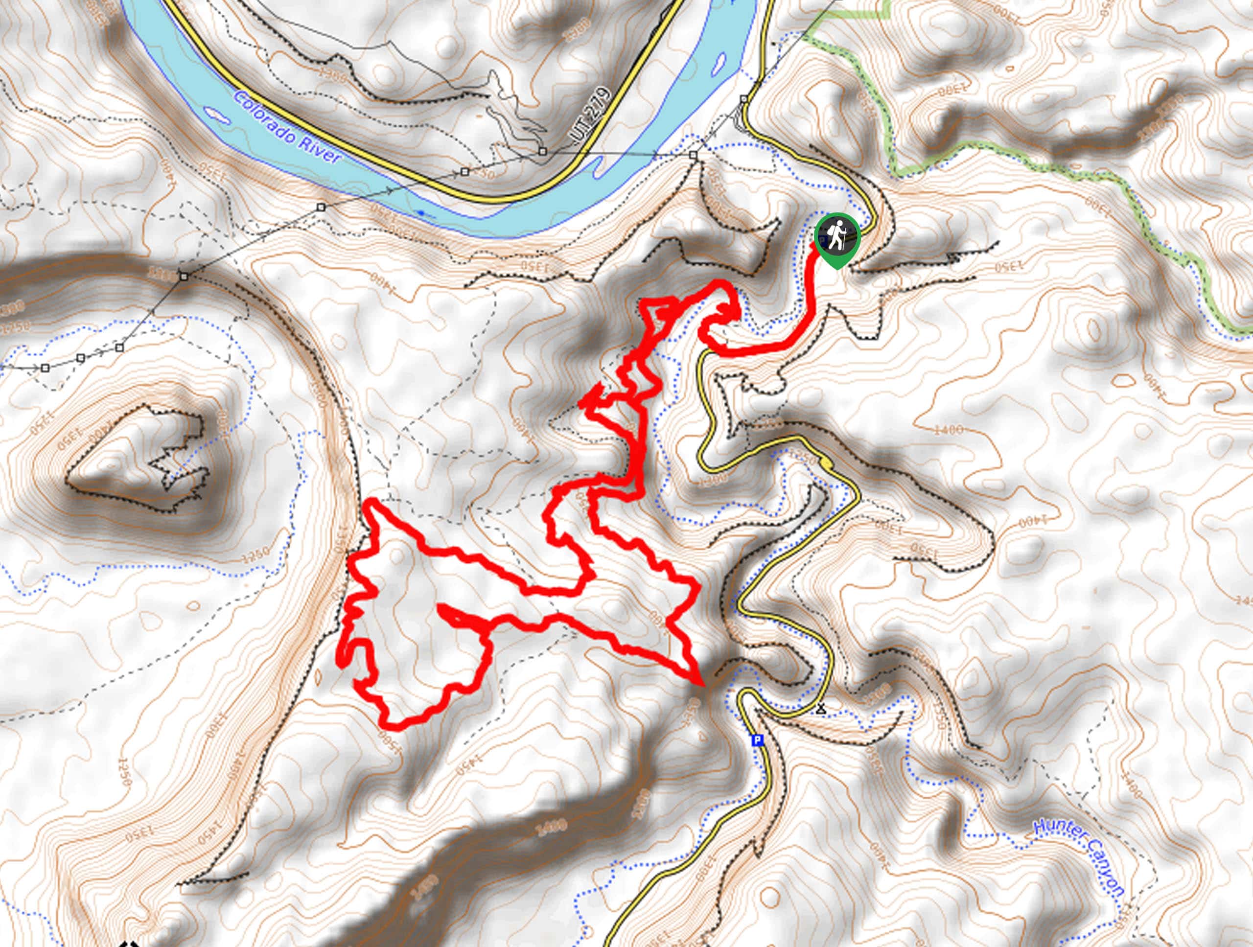
The Captain Ahab Trail is a technical mountain biking trail that is also a popular hiking route. This circuitous trail winds its way through a beautiful network of desert singletrack and backroad paths. This hike gets a lot of sun so make sure you are well prepared with lots of water and proper desert-hiking attire.
Getting there
From highway 191 in Moab, turn west onto Kane Creek Boulevard. Follow Kane Creek Boulevard for 5.3mi as it turns into Kane Springs Road. Look for the Amasa Back parking lot on the west side of the road. This is the parking area and starting point for the Captain Ahab Trail.

About
| Backcountry Campground | No |
| When to do | April to September |
| Pets allowed | Yes - On Leash |
| Family friendly | No |
| Route Signage | Average |
| Crowd Levels | Moderate |
| Route Type | Lollipop |
Captain Ahab Trail
Elevation Graph
Weather
Captain Ahab Trail Description
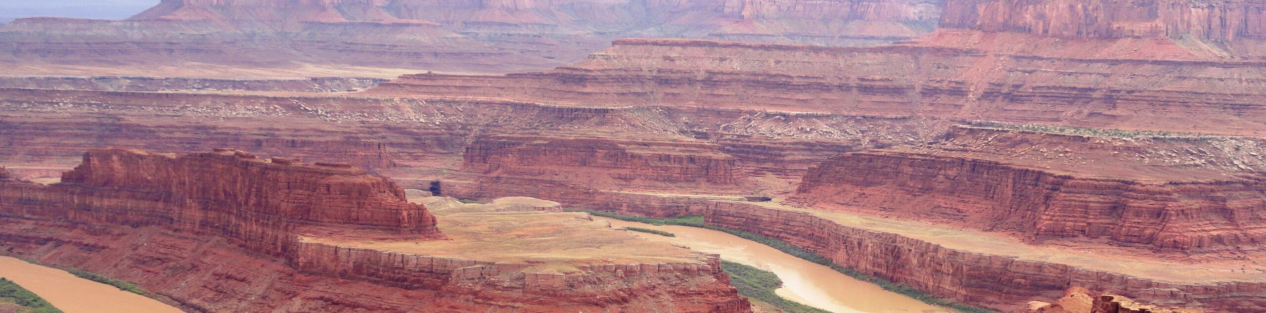
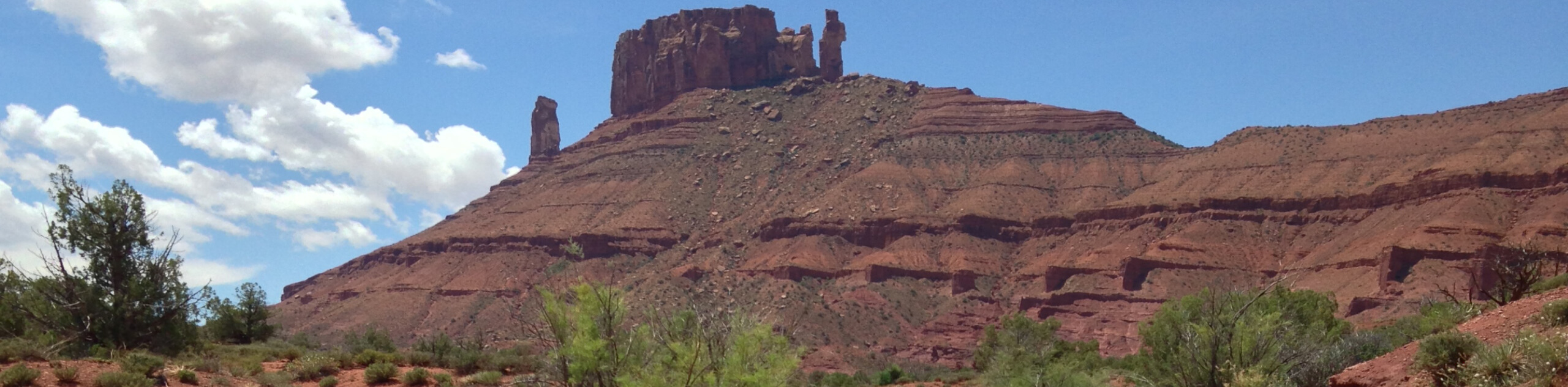
Though the Captain Ahab trail is primarily a mountain biking trail, it can also be a fun, challenging day-hike for experienced hikers. When hiking, keep in mind that you will be sharing this trail with technical mountain bikers operating at high speeds, so stick to the side of the trail and allow bikes to pass. This trail gets very popular on weekends, so we suggest hiking it mid-week to avoid trail congestion. The views from this trail are absolutely stunning. Bring lots of water with you on this hike, there are few opportunities to rest in the shade, and there are no water sources along this route. Consider saving this hike for a cooler day to avoid heat exhaustion.
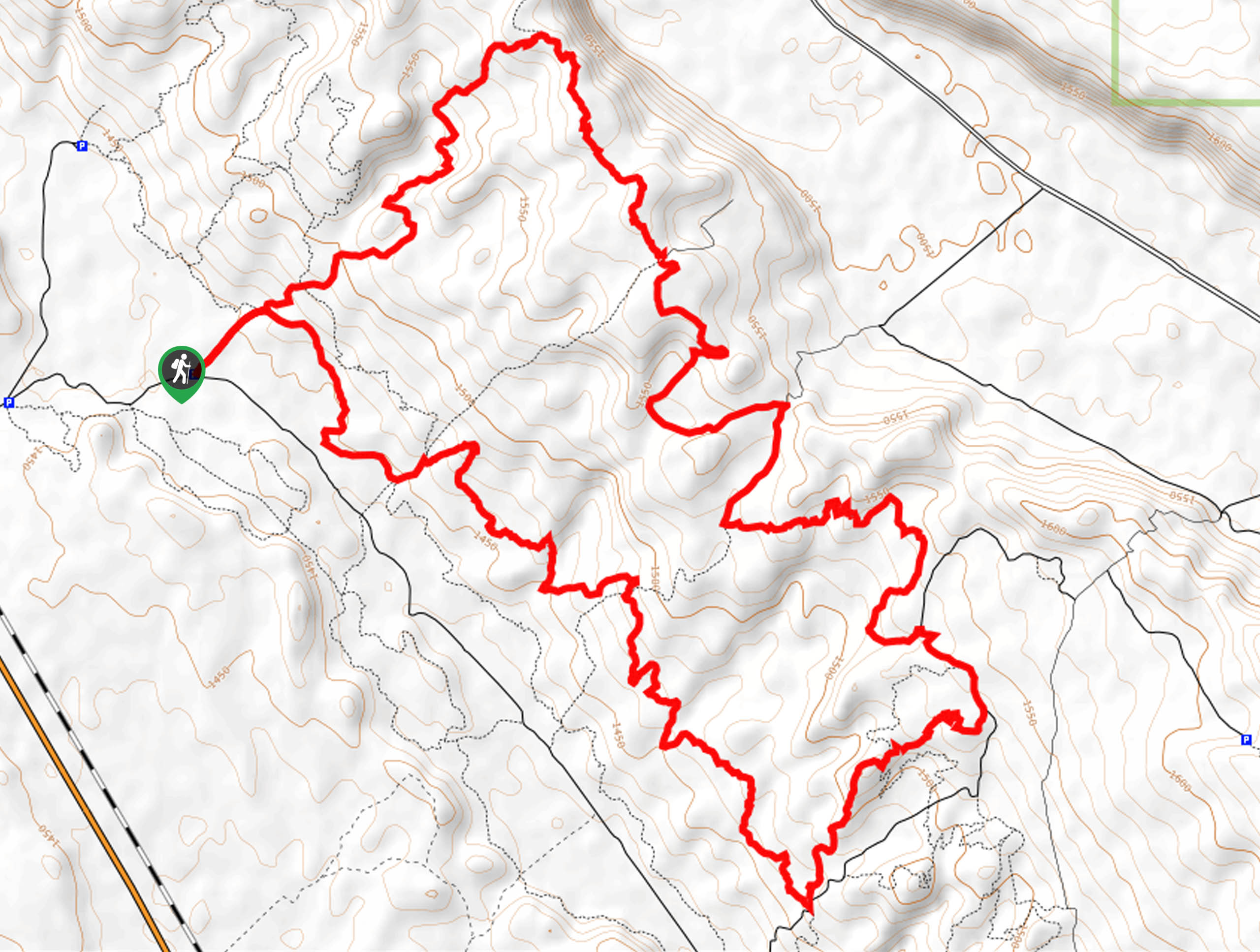
From the Amasa Back parking area, head down the road to the start of the trail on the north side of Kane Springs Road. Stay left at the trail divide and follow the path as it crosses over Kane Spring. At the first divide past the creek, stay right and then take a left at the divide immediately past here to start on “Cliffhanger Trail.” Follow Cliffhanger Trail for 0.5mi to an intersection, continue straight at this crossroads. Do the same at the next intersection 0.6mi later and the following intersection 0.7mi past there. Three miles from the trailhead, you will reach a T-intersection of trails. Take a left here onto the “Upper Captain Ahab Trail.” Follow Upper Captain Ahab Trail for 2.1mi to an intersection with a back road. Cross over the road onto “Lower Captain Ahab Trail” and follow this path for 2.0mi until you reach familiar territory as the Lower Captain Ahab Trail links up with Cliffhanger Trail. Take a right here and follow the path back out to the road.
This trail has lots of twists and turns and intersections, so it might seem complicated but don’t worry- it is well signed and well maintained and well-populated, so it is tough to get lost.
Similar hikes to the Captain Ahab Trail hike
Dead Horse Rim Loop and Big Horn Overlook Trail
The Dead Horse Rim Loop and Big Horn Overlook Trail is a fantastic day-hike in the southern section of Dead…
Klondike Bluff Outer Loop
The Klondike Bluffs Outer Loop is a great low-traffic trail just outside of Arches National Park. This route is primarily…
Sylvester Trail
The Sylvester Trail is a moderately challenging route with beautiful views of the Utah desert. This hike gets relatively low…
Comments