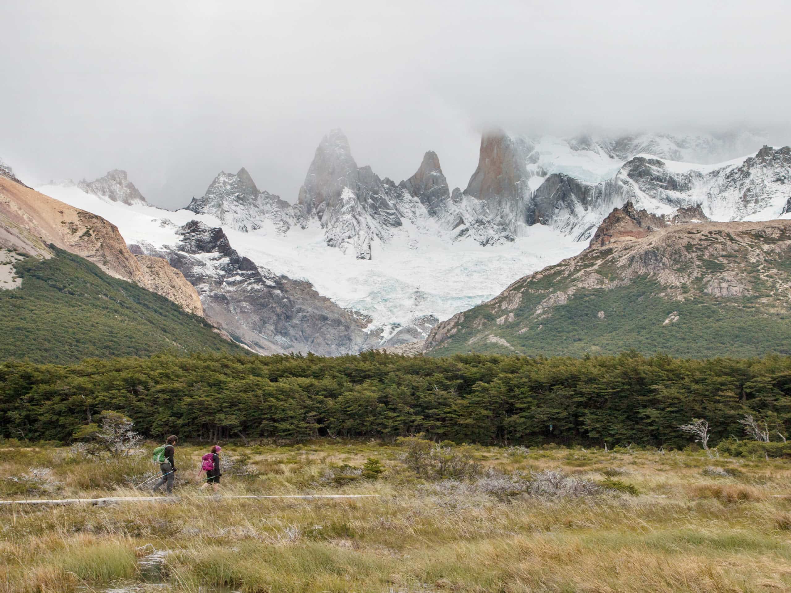


Laguna de los Tres and Laguna Capri Hike
View PhotosLaguna de los Tres and Laguna Capri Hike
Difficulty Rating:
The Laguna de los Tres and Laguna Capri Hike is a wonderfully scenic adventure in Los Glaciares National Park that will take you up to a pristine glacial lake. While out on the trail you will climb uphill through mountainous terrain, passing by the serene shores of Laguna Capri before pushing further into the mountains to reach Laguna de los Tres. This is a challenging hike with a fairly long overall distance, so make sure to arrive prepared!
Getting there
The starting point for the Laguna de los Tres and Laguna Capri Hike can be found at the north end of El Chaltén, at the Sendero la Fitz Roy trailhead.
About
| Backcountry Campground | Poincenot, Rio Blanco |
| When to do | November-May |
| Pets allowed | No |
| Family friendly | No |
| Route Signage | Average |
| Crowd Levels | Moderate |
| Route Type | Out and back |
Laguna de los Tres and Laguna Capri Hike
Elevation Graph
Weather
Laguna de los Tres and Laguna Capri Hike Description
In terms of pristine alpine terrain and stunning glacier views, there aren’t many places on earth that come close to Los Glaciares National Park in Argentina, and the Laguna de los Tres and Laguna Capri Hike are filled with both. This iconic Patagonian adventure will be sure to get your heartrate up, from both the breathtaking views and the difficulty of the trail!
Setting out from the trailhead, you will make your way northwest through the light tree cover and open terrain. This initial portion of the trail does feature a decent incline, so be sure to take your time and acclimate to the difficulty.
Passing through some more forested terrain, you will pass by the Mirador Fitz Roy and enjoy beautifully scenic views of the mountains, before passing by the shores of Laguna Capri. Here, you will continue hiking to the northwest along a route that runs parallel to a stream known as Chorillo del Salto.
Eventually, you will cross over the stream and pass through the Poincenot and Río Blanco campgrounds. At this point the trail will turn more directly west, climbing sharply uphill in order to reach the shimmering waters of Laguna de los Tres.
Take some time here to rest up and appreciate the gorgeous mountain, glacier, and lakeside views, before setting out on the return leg of your journey. Carefully head downhill and retrace your steps along the same route in order to arrive back at the trailhead where you started the Laguna de los Tres and Laguna Capri Hike. If you are looking for another spectacular adventure in Los Glaciares National Park, consider exploring the nearby Laguna Torre Hike.
Similar hikes to the Laguna de los Tres and Laguna Capri Hike hike

Laguna Capri Hike
The Laguna Capri Hike is a spectacular adventure in Los Glaciares National Park that will make you work for the…

Laguna Torre Hike
Featuring some incredible mountain scenery, the Laguna Torre Hike is a spectacular adventure that should not be missed when visiting…

Laguna Torre and Cerro Torre Viewpoint Hike
The Laguna Torre and Cerro Torre Viewpoint Hike is a breathtaking adventure in Los Glaciares National Park that will produce…


Comments