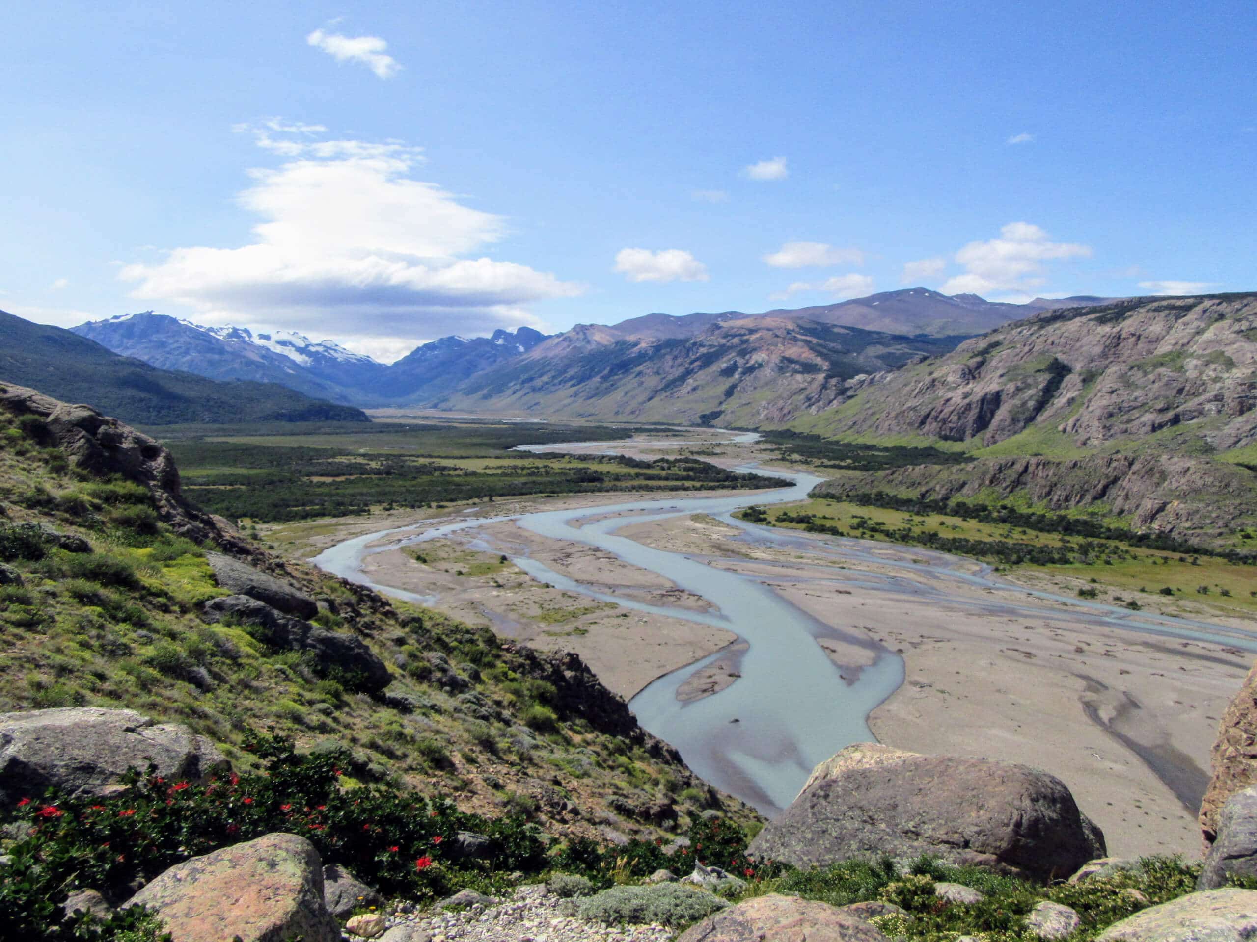


Laguna de los Tres and Cerro Madsen Hike
View PhotosLaguna de los Tres and Cerro Madsen Hike
Difficulty Rating:
The Laguna de los Tres and Cerro Madsen Hike is a beautifully scenic - albeit very challenging - adventure in Los Glaciares National Park that features stunning mountain views. While out on the trail, you will climb uphill past the shores of Laguna Capri and Laguna de los Tres, before scaling the slopes of Cerro Madsen for a “top of the world” feeling. This hike features a large amount of elevation gain, so make sure that you arrive prepared and are physically able to undertake such a tough journey.
Getting there
The trailhead for the Laguna de los Tres and Cerro Madsen Hike can be found just north of El Chaltén at Sendero la Fitz Roy.
About
| Backcountry Campground | Poincenot, Río Blanco |
| When to do | October-April |
| Pets allowed | No |
| Family friendly | No |
| Route Signage | Average |
| Crowd Levels | Low |
| Route Type | Out and back |
Laguna de los Tres and Cerro Madsen Hike
Elevation Graph
Weather
Laguna de los Tres and Cerro Madsen Hike Description
While it may be a physically demanding excursion in Los Glaciares National Park, the Laguna de los Tres and Cerro Madsen Hike will certainly wow you with some spectacular views of the surrounding Patagonian landscape. Glacial lakes, rugged alpine terrain, and step uphill climbs characterize this incredible adventure in the wilds of Argentina.
Setting out from the trailhead in El Chaltén, you will make your way to the northwest by immediately climbing uphill to the Mirador Río de las Vueltas. After taking in the views overlooking the river, continue along the trail as it leads toward the Mirador Fitz Roy and Laguna Capri.
At this point the trail runs parallel to a stream known as Chorillo del Salto, eventually passing by a series of campgrounds before turning more to the west. Here, the route will begin to climb more sharply uphill as you make the approach to the shores of Laguna de los Tres.
Most other hikers will likely end their adventure here after taking in the views of the serene glacial lake; however, this route continues on to the right along the shoreline. Just after leaving the edge of the water behind, the trail will begin to climb up the steep mountainside.
Here, you will need to clamber up the rocky terrain, following the path as it bends northwest enroute to the summit of Cerro Madsen. Once there, you will enjoy breathtaking views of the surrounding Patagonian landscape that includes rugged peaks, glaciers, and pristine lakes.
Once you have caught your breath and enjoyed the views, carefully make your way downhill along the same path, retracing your steps all the way back to the trailhead where you began your adventure. If you are after a similar hike in Los Glaciares National Park, be sure to check out the Laguna Torre and Cerro Torre Viewpoint Hike.
Similar hikes to the Laguna de los Tres and Cerro Madsen Hike hike

Laguna Capri Hike
The Laguna Capri Hike is a spectacular adventure in Los Glaciares National Park that will make you work for the…

Laguna Torre Hike
Featuring some incredible mountain scenery, the Laguna Torre Hike is a spectacular adventure that should not be missed when visiting…

Laguna de los Tres and Laguna Capri Hike
The Laguna de los Tres and Laguna Capri Hike is a wonderfully scenic adventure in Los Glaciares National Park that…


Comments