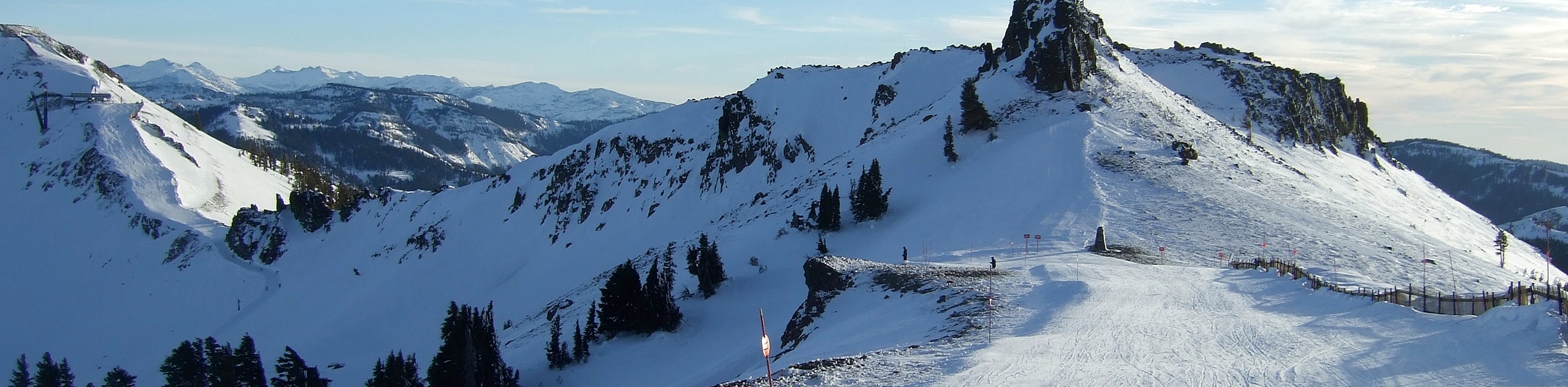
Tahoe Mountain Loop Trail
View Photos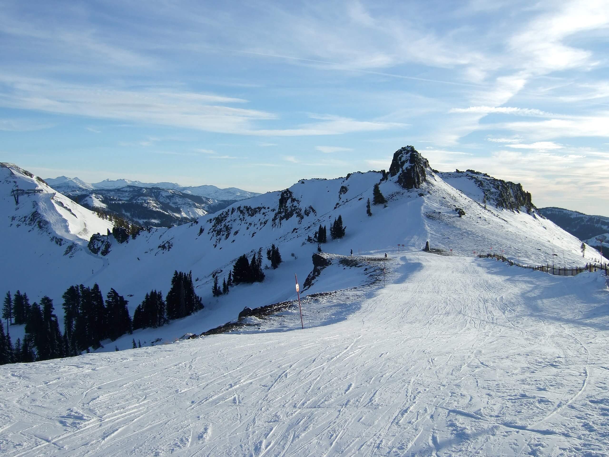
Tahoe Mountain Loop Trail
Difficulty Rating:
Hiking the Tahoe Mountain Loop Trail makes for a wonderful half-day hike. Adventure through mixed forestlands and granite gardens to the small Sierra Nevada summit that boasts awe-inspiring panoramas of Lake Tahoe, the city below, and the surrounding snow-capped peaks.
Getting there
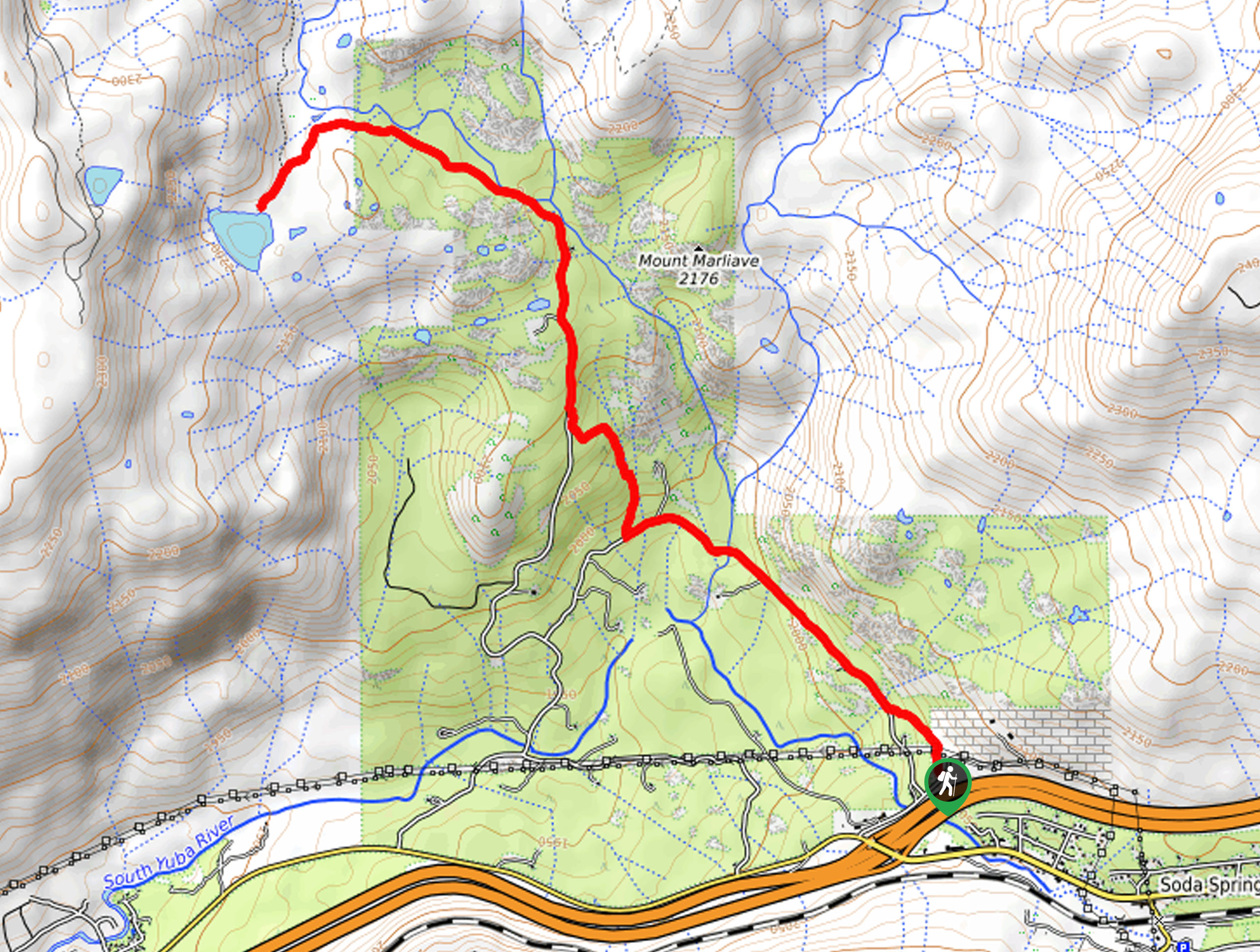
The Tahoe Mountain Loop Trail is accessed via the Panther Trailhead off Panther Street.

About
| Backcountry Campground | No |
| When to do | Year-round |
| Pets allowed | Yes - On Leash |
| Family friendly | Yes |
| Route Signage | Average |
| Crowd Levels | Moderate |
| Route Type | Lollipop |
Tahoe Mountain Loop Trail
Elevation Graph
Weather
Tahoe Mountain Loop Trail Description
Admire sights of South Lake Tahoe City, Lake Tahoe, and the Sierra Nevada Mountains along the Tahoe Mountain Loop Trail. This wonderful trail is a crowd favorite amongst the adventure community, so don’t be surprised if you have to share the trail! Whether you hike, bike, snowshoe, or trail run, you will surely be impressed by the route’s panoramic views. The terrain is often very muddy when hiking in the spring, so don’t wear your new white runners! Additionally, we suggest wearing layers as the summit can be quite windy!
Setting out from the Panther Trailhead, the Tahoe Mountain Loop Trail wanders west along the Panther Trail before diverting northwest up the Tahoe Mountain Trail. This section of the hike will guide you through mixed pines as you tackle several sets of switchbacks. Mind your footing on the rocky terrain, and the route will eventually curve south, delivering you to the summit of Tahoe Mountain. Revel in the 360-degree views of the alpine landscape, then continue south. Soon the path will end, and you will have to merge onto the Angora Ridge Trail.
Follow the Angora Ridge Trail, which demands the navigation of a zigzagging route. Once you reach the base of the mountain, you will be diverted east along the Lake Tahoe Boulevard Bike Path. At the next junction, track the High School Trail back to the Panther Trail and trailhead.
Similar hikes to the Tahoe Mountain Loop Trail hike
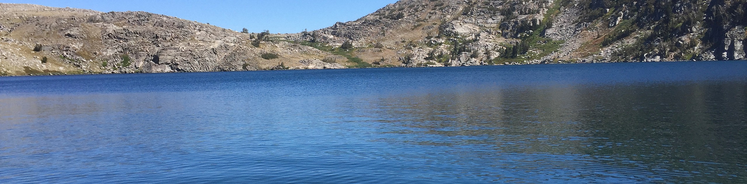
Red Lake, Frog Lake and Carson Pass Hike
Seeking a day hike away from the crowds of Lake Tahoe? The Lake, Frog Lake and Carson Pass Hike is…
Winnemucca and Round Top Lakes Hike
The Winnemucca and Round Top Lake Hike is an awesome adventure in the Mokelumne Wilderness. Wander through mixed pine forests…
Lola Montez Trail
The Lola Montez Trail is an epic backcountry adventure that boasts wonderful scenery, from dense pine forests to alpine meadows…
Comments