Rawhide and Page Loop
View Photos
Rawhide and Page Loop
Difficulty Rating:
Seeking an adventure near Tahoe City? The Rawhide and Page Loop is an epic adventure just outside the township that offers amazing scenery and a great workout. Whether you are a hiker or a biker, we know you’ll enjoy this adventure.
Getting there
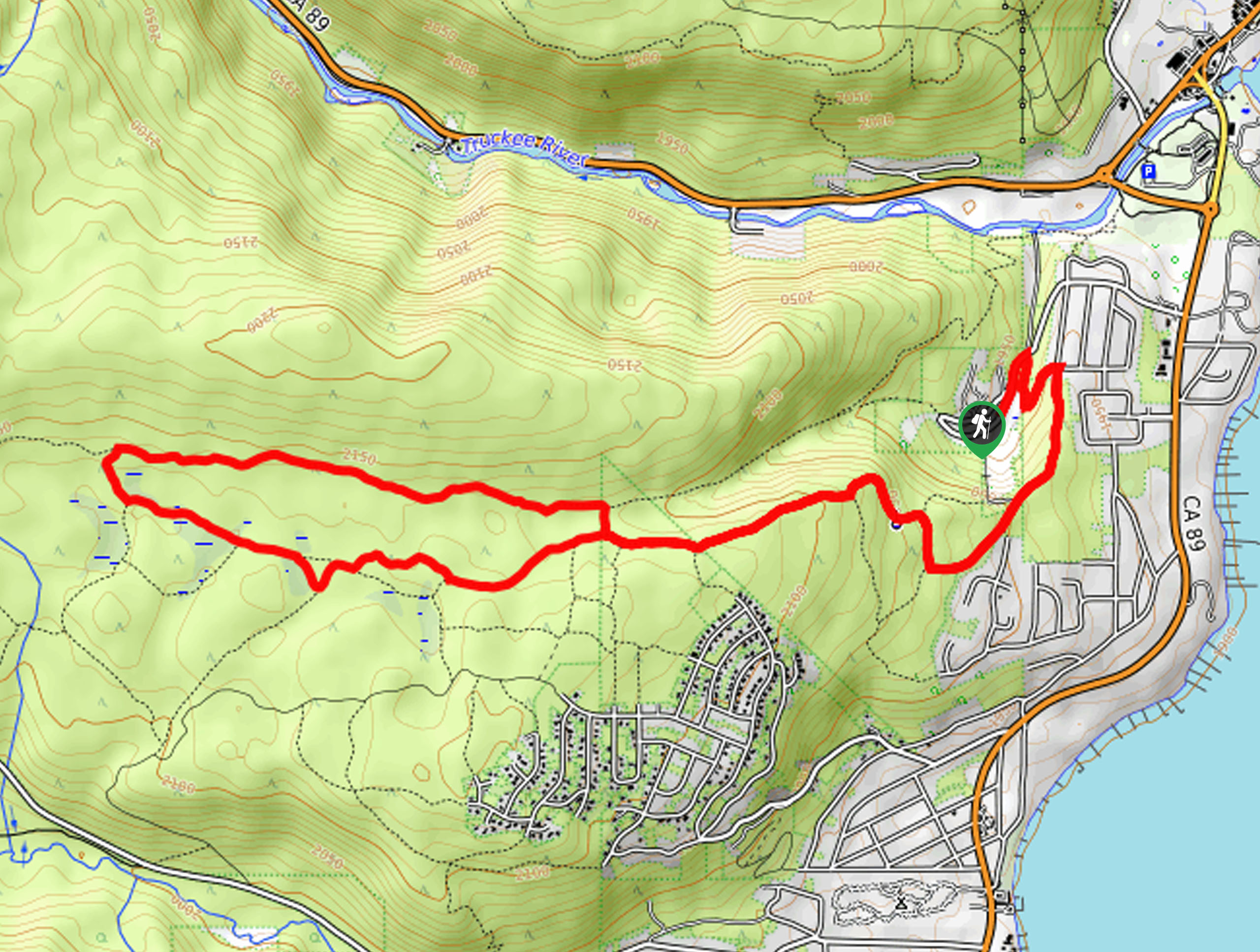
The Rawhide and Page Loop departs from the trailhead and parking lot off Granlibakken Road.

About
| Backcountry Campground | No |
| When to do | Year-round |
| Pets allowed | Yes - On Leash |
| Family friendly | Yes |
| Route Signage | Poor |
| Crowd Levels | High |
| Route Type | Lollipop |
Rawhide and Page Loop
Elevation Graph
Weather
Rawhide and Page Loop Description
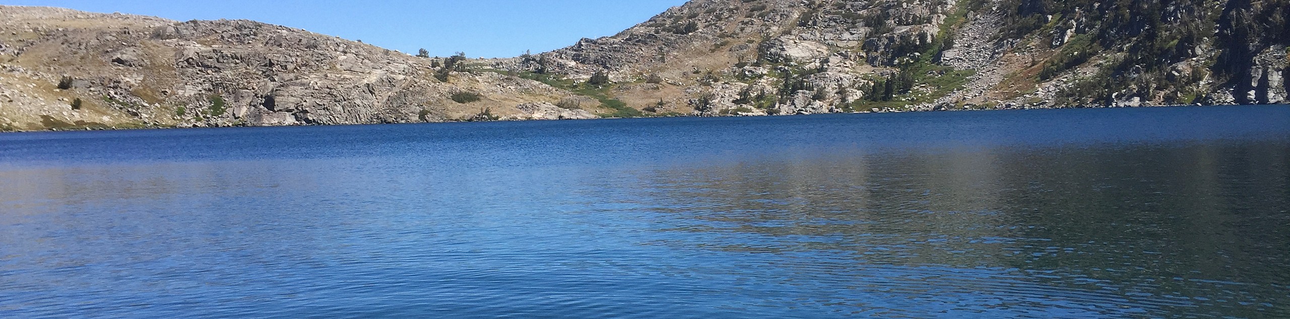
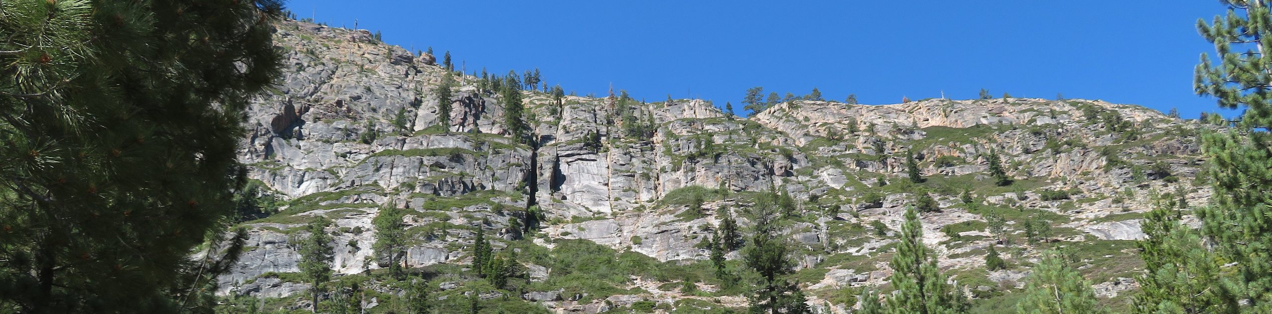
The Rawhide and Page Loop is an adventure for those who seek a bit of a challenge. Primitive, overgrown, and lacking the proper sign postage, this route demands some patience and navigational skills. Thankfully you have our trail GPS to help you out! Whether you are a hiker or biker, this path will please you with the lush vegetation—from wildflowers, luxuriant meadows, towering pines, and quaking aspens. When heading out in the winter months, be sure to strap on a pair of snowshoes to easily navigate the snow-cloaked terrain.
Setting out from the trailhead off Granlibakken Road, those venturing the Rawhide and Page Loop wanders northeast before turning right onto a connector trail, then south along Rawhide. Follow this road southwest before merging onto the Rawhide Trail. Follow this route through the woodlands until you reach an intersection with the Tahoe Rim Trail. From here, follow the Tahoe Rim Trail west. Soon you will encounter a junction with the Page Meadows/ North Main Trail—track this route east.
Wandering through meadowlands, you will be granted distant and sparing views of the encompassing mountains. Soon you will merge onto the Paver Way, then the Page Meadows Indirect Trail before reconnecting with the Rawhide Trail. From here, retrace your footing along the path back to the trailhead.
Similar hikes to the Rawhide and Page Loop hike
Red Lake, Frog Lake and Carson Pass Hike
Seeking a day hike away from the crowds of Lake Tahoe? The Lake, Frog Lake and Carson Pass Hike is…
Winnemucca and Round Top Lakes Hike
The Winnemucca and Round Top Lake Hike is an awesome adventure in the Mokelumne Wilderness. Wander through mixed pine forests…
Squaw Creek to Shirley Canyon Hike
The Squaw Creek to Shirley Canyon Hike is a must-add to your hiking itinerary. Located near Olympic Valley, this route…
Comments