High Meadows and Cold Creek Loop
View Photos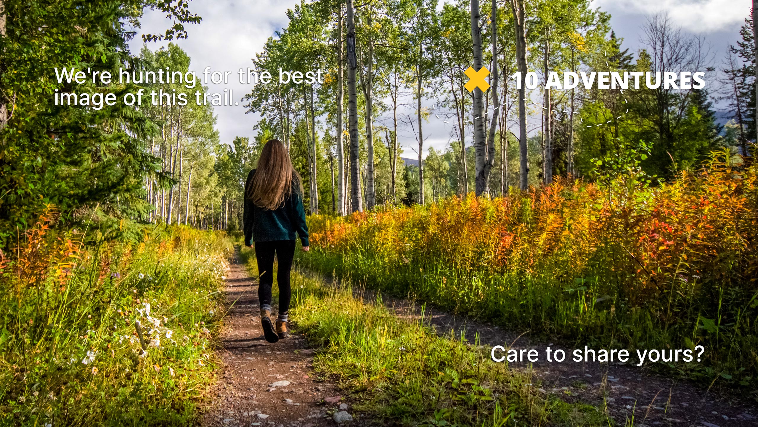
High Meadows and Cold Creek Loop
Difficulty Rating:
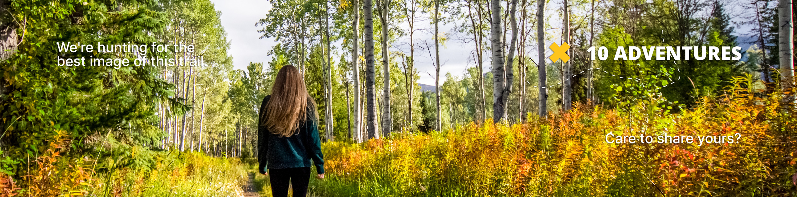
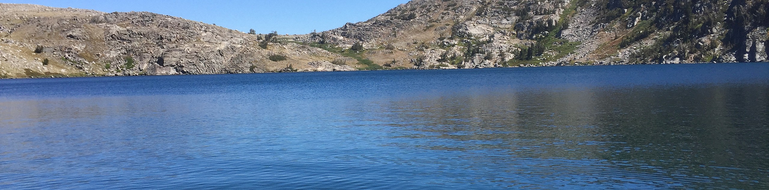
The High Meadows and Cold Creek Loop is a must-add to your Lake Tahoe hiking itinerary. Wander through luxuriant meadowlands, mixed pine forests, and granite gardens along this trek. We love this scenic adventure, and we know you will too!
Getting there
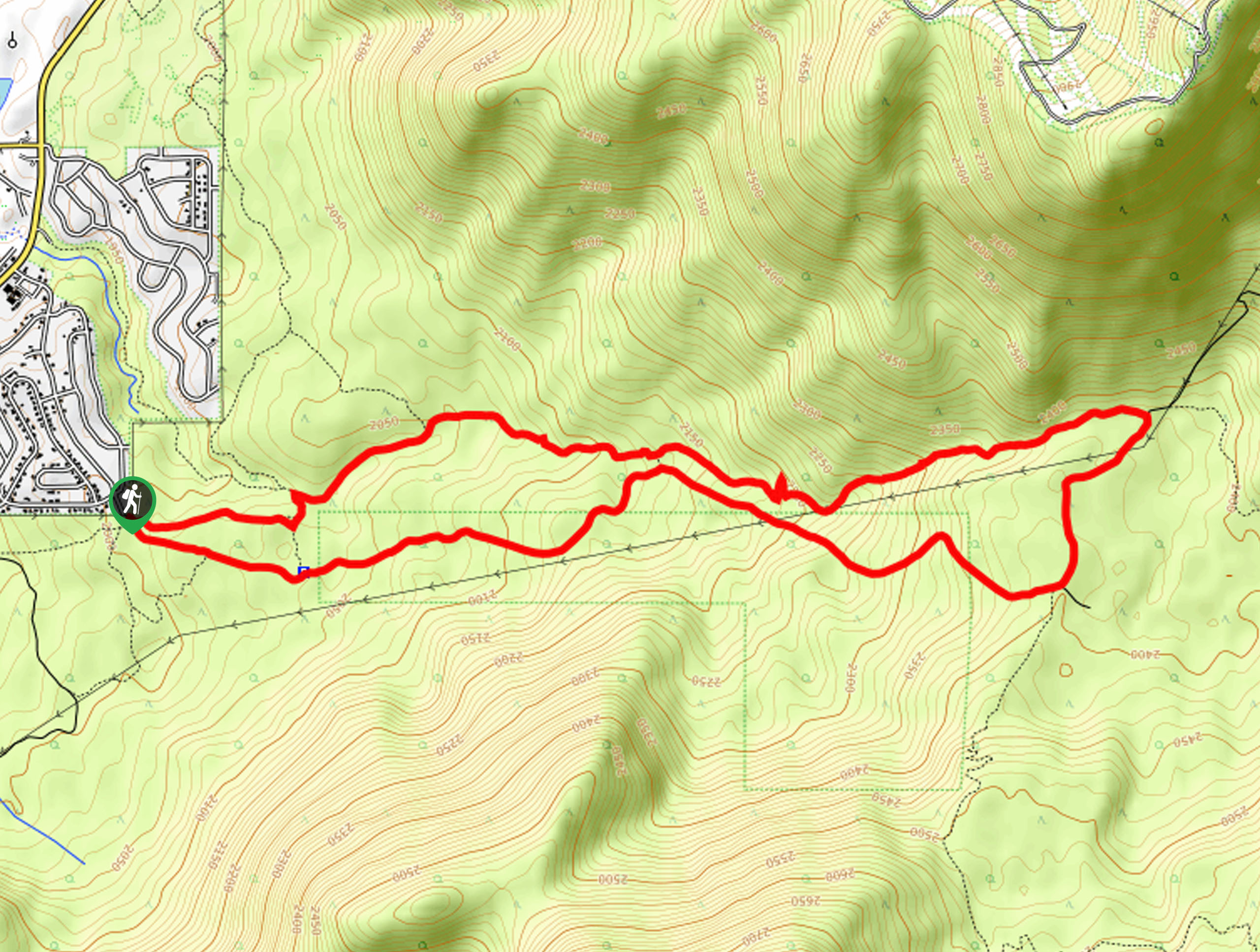
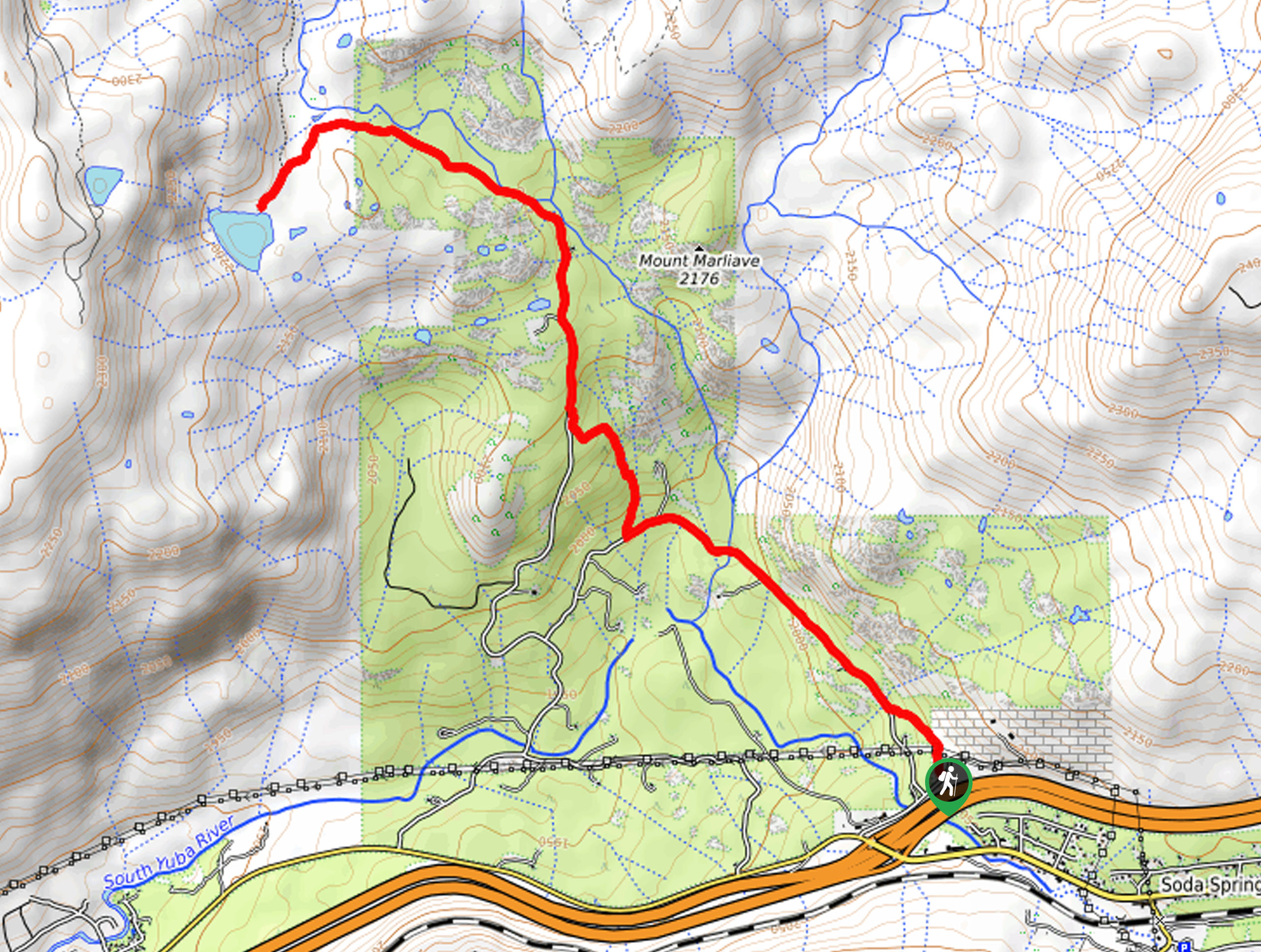
The High Meadows and Cold Creek Loop departs from the High Meadows Road Trailhead off High Meadows Trail (Road).

About
| Backcountry Campground | Backcountry Camping |
| When to do | Year-round |
| Pets allowed | Yes - On Leash |
| Family friendly | Older Children only |
| Route Signage | Average |
| Crowd Levels | High |
| Route Type | Circuit |
High Meadows and Cold Creek Loop
Elevation Graph
Weather
High Meadows and Cold Creek Loop Description
Immerse yourself in the alpine terrain along the High Meadows and Cold Creek Loop Hike. This epic excursion will put your stamina to the test whilst offering motivation in the form of wonderful views. Explore diverse topographies as you wander around this circuit route. Be sure to wear comfortable, ankle bracing footwear as much of the path is uneven and rocky. Additionally, we recommend dressing in layers and insurance against varying weather conditions.
Setting out from the trailhead, the High Meadows and Cold Creek Loop Hike tracks the High Meadow Road east. As you hike along the old fire road, you will be granted impressive views of the encompassing mountains. Let the amazing views motivate you as you gradually climb up to the High Meadows. Revel in the grandeur of the mountainous wilderness from the alpine meadow, and you will shortly reach the Cold Creek Trail.
Veer left here onto the Cold Creek Trail, heading west down a forested valley that is sometimes adorned with a seasonal snow-melt creek. At the route’s end, hook onto the Powerline Trail, heading south and then right onto the Columbine Trail Connector back to the trailhead.
Similar hikes to the High Meadows and Cold Creek Loop hike
Red Lake, Frog Lake and Carson Pass Hike
Seeking a day hike away from the crowds of Lake Tahoe? The Lake, Frog Lake and Carson Pass Hike is…
Winnemucca and Round Top Lakes Hike
The Winnemucca and Round Top Lake Hike is an awesome adventure in the Mokelumne Wilderness. Wander through mixed pine forests…
Lola Montez Trail
The Lola Montez Trail is an epic backcountry adventure that boasts wonderful scenery, from dense pine forests to alpine meadows…
Comments