Glen Alpine Loop
View Photos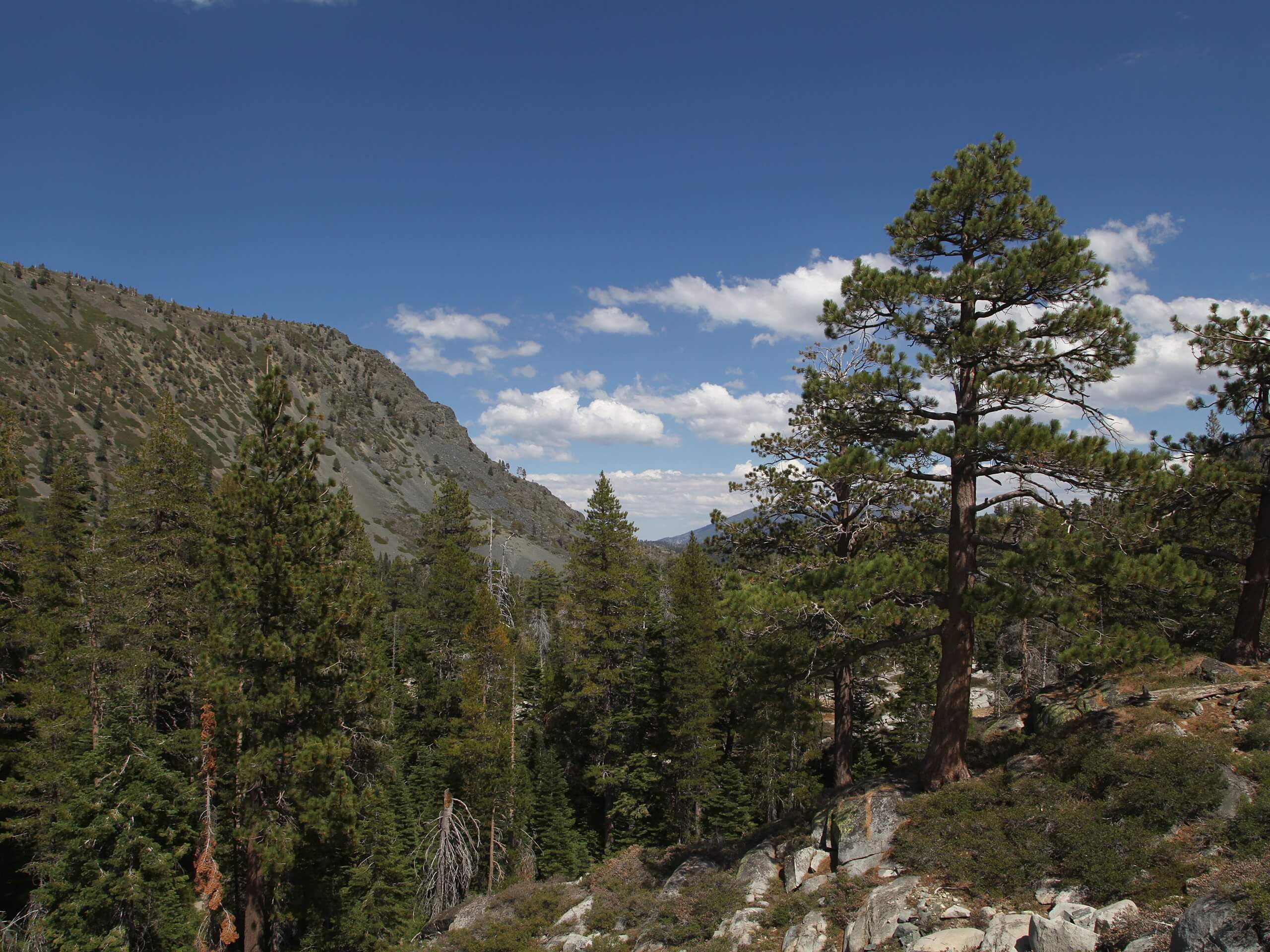
Glen Alpine Loop
Difficulty Rating:
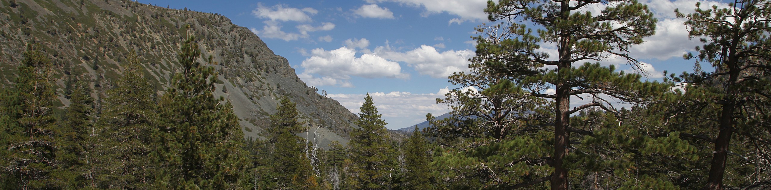
The Glen Alpine Loop is a great way to explore Desolation Wilderness. Wander through meadowlands, mixed pine forests, along the shoreline of several shimmering alpine pools, and through mountain passes. Immerse yourself in the wilderness and revel in the grandeur of the mountainous landscape.
Getting there
The Glen Alpine Loop departs from the Glen Alpine Trailhead off Glen Alpine Road.

About
| Backcountry Campground | Backcountry Camping |
| When to do | March-October |
| Pets allowed | Yes - On Leash |
| Family friendly | No |
| Route Signage | Average |
| Crowd Levels | Low |
| Route Type | Circuit |
Glen Alpine Loop
Elevation Graph
Weather
Glen Alpine Loop Description
The Glen Alpine Loop is a great adventure that reveals the best of what the Desolation Wilderness has to offer. Get a workout in as you wander through diverse topographies along several routes. Much of this route travels through high elevations and along exposed terrain, so it is important to check the forecast prior to heading out to mitigate the chances of getting caught in an afternoon storm. We suggest dressing in layers and wearing ankle-bracing footwear for the most comfortable experience. We also recommend bringing along the trail GPS as sections of the hike are overgrown and not well signposted.
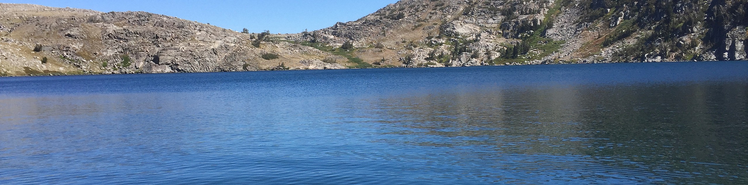
Setting out from the Glen Alpine Trailhead, the Glen Alpine Loop follows the Glen Alpine Springs Road up past the historic resort and a charming cascade. At the road’s end, take the Glen Alpine Trail north, up several switchbacks. At the next junction, veer left onto the PCT, which will guide you to Sunrise Lake, Heather Lake, and Lake Aloha. Revel in the beauty of Lake Aloha and the bounding Sierra Nevada Mountains. Now tracking southwest, the PCT will lead you past Lake Margery before delivering you an intersection with the Tamarack Trail.
Follow the Tamarack Trail north, along the southern flank of Echo Peak and Angora Peak. After passing the looming summits, the route will begin to intensely descend, leading you to Lily Lake and back to the Glen Alpine Trailhead.
Similar hikes to the Glen Alpine Loop hike
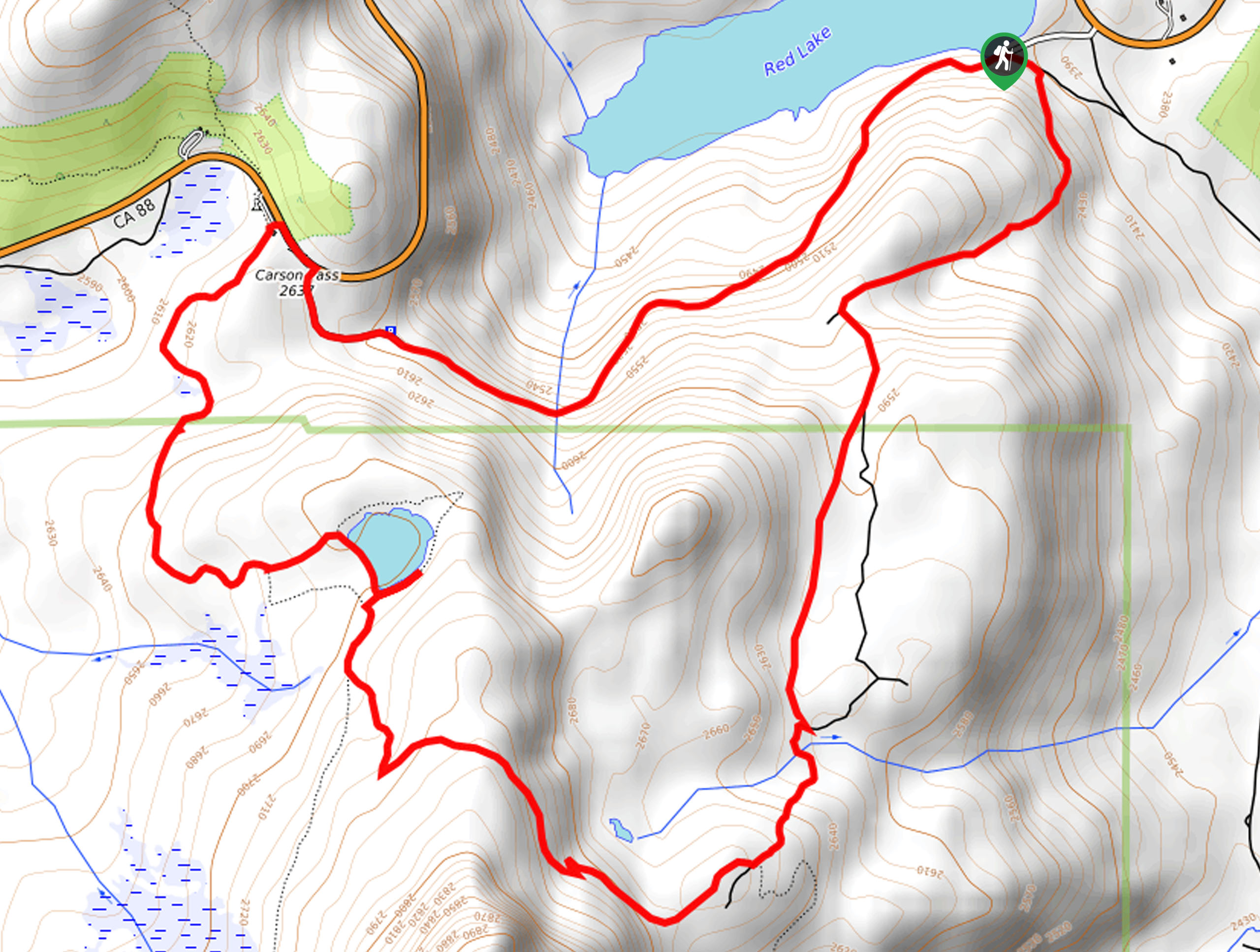
Red Lake, Frog Lake and Carson Pass Hike
Seeking a day hike away from the crowds of Lake Tahoe? The Lake, Frog Lake and Carson Pass Hike is…
Winnemucca and Round Top Lakes Hike
The Winnemucca and Round Top Lake Hike is an awesome adventure in the Mokelumne Wilderness. Wander through mixed pine forests…
Round Top, Winnemucca, and Fourth of July Lake Loop
The Round Top, Winnemucca, and Fourth of July Lake Loop is a high effort, high-reward type of adventure in the…
Comments