

Emerald Point Trail
View PhotosEmerald Point Trail
Difficulty Rating:
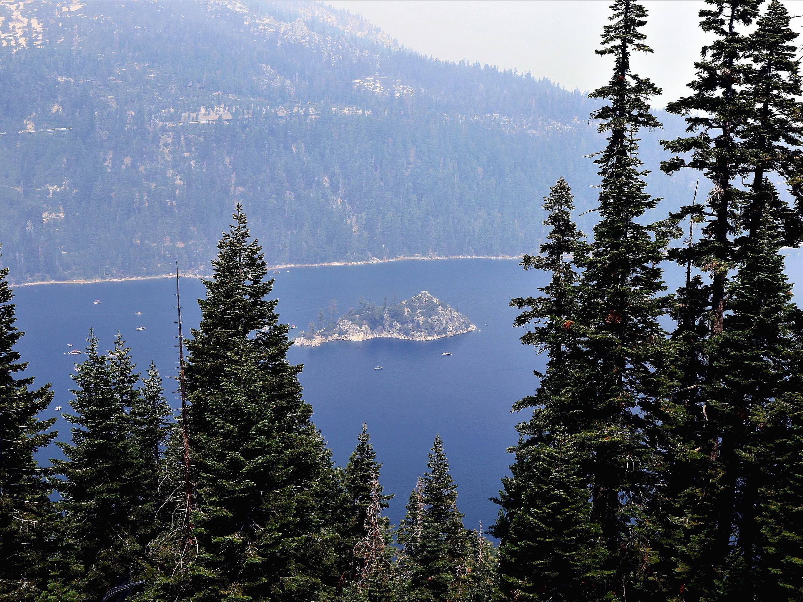
The Emerald Point Trail is a stunning nature walk along the shoreline cliffs of Emerald Bay. Wander through red firs, quaking aspens, and mixed pines—enjoying sights of the High Sierra and the famous Lake Tahoe along the way.
Getting there
The Emerald Point Trail departs from the Vikingsholm Trailhead and Parking Lot off Emerald Bay Road.
About
| Backcountry Campground | No |
| When to do | Year-round |
| Pets allowed | No |
| Family friendly | Yes |
| Route Signage | Average |
| Crowd Levels | Extreme |
| Route Type | Out and back |
Emerald Point Trail
Elevation Graph
Weather
Emerald Point Trail Description
The Emerald Point Trail is one of our favorite nature walks near South Lake Tahoe. Venture along the shoreline of Emerald Bay, enjoying the sights of boaters, kayakers, swimmers, and paddle boarders enjoying the alpine waters in the summer months! Open year-round, you can admire a different perspective of the lake with a pair of microspikes or snowshoes! Note that this route is a popular destination, so if you seek a sequestered experience, we suggest heading out in the early morning or off-season. Note the Emerald Bay State Park charges a fee to park; refer to the website for additional information.
Setting out from the Vikingsholm Trailhead, the Emerald Point Hike follows the Vikingsholm Trail down a switchback before merging onto the rightmost Rubicon-Emerald Bay Trail. This route will guide you south down to the Vikingsholm where you will be redirected north along the Rubicon Trail. This section of the hike will likely be busier, so don’t be surprised If you must share the trail! Meander northeast along this path, near the shoreline, weaving between open terrain and tree shade.
Eventually, you will pass the Boat Camp before reaching the point—which is where we turned around. If you still have some gas in the tank, you can explore the Rubicon Trail further! When you are ready to head back, simply retrace your footing along the path back to the trailhead.
Similar hikes to the Emerald Point Trail hike

Red Lake, Frog Lake and Carson Pass Hike
Seeking a day hike away from the crowds of Lake Tahoe? The Lake, Frog Lake and Carson Pass Hike is…

Winnemucca and Round Top Lakes Hike
The Winnemucca and Round Top Lake Hike is an awesome adventure in the Mokelumne Wilderness. Wander through mixed pine forests…

Squaw Creek to Shirley Canyon Hike
The Squaw Creek to Shirley Canyon Hike is a must-add to your hiking itinerary. Located near Olympic Valley, this route…


Comments