Alpine Lakes Loop Trail
View Photos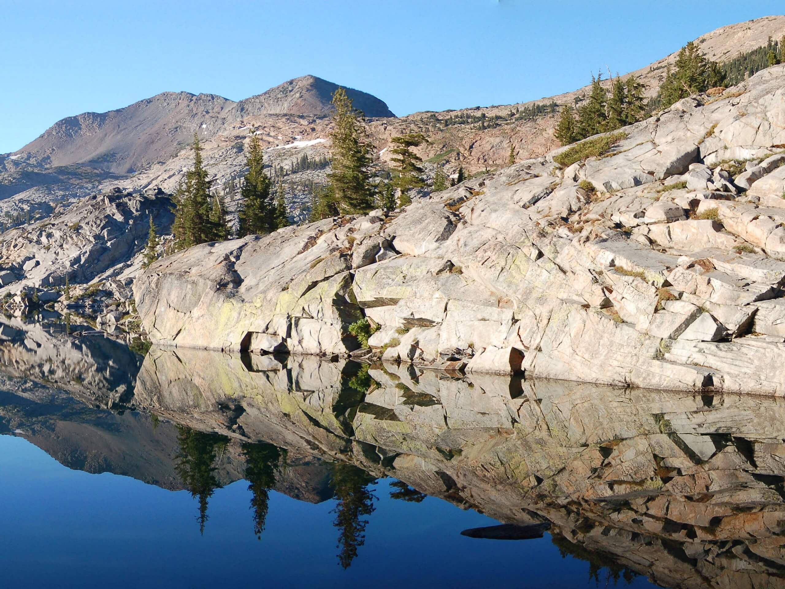
Alpine Lakes Loop Trail
Difficulty Rating:
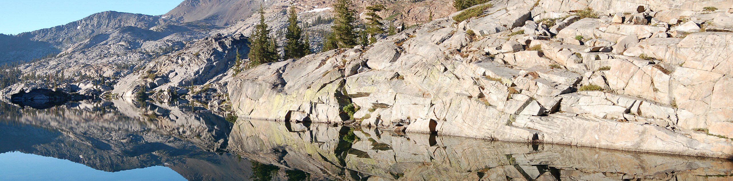
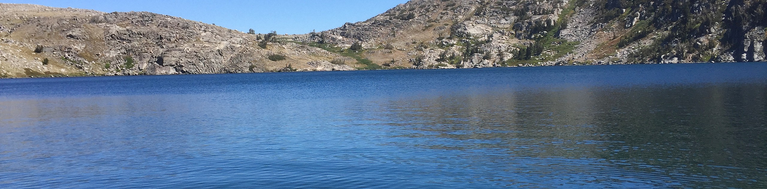
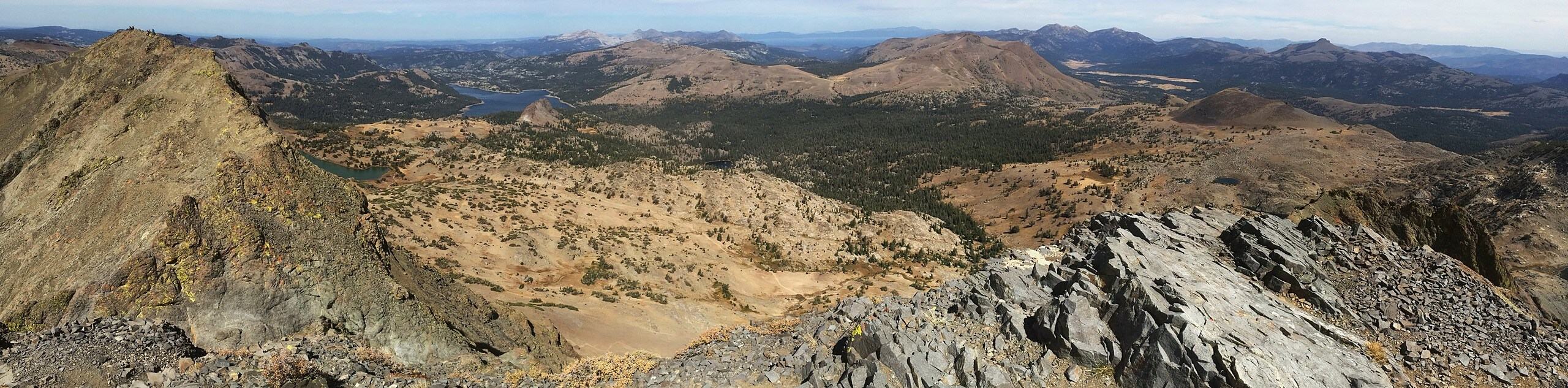
The Alpine Lake Loop Trail is an amazing day-hike through the high country that guides intrepid explorers to not one, not two, not three, but over half a dozen shimmering alpine lakes. The breathtaking scenery along this excursion will overwhelm you as you wander.
Getting there
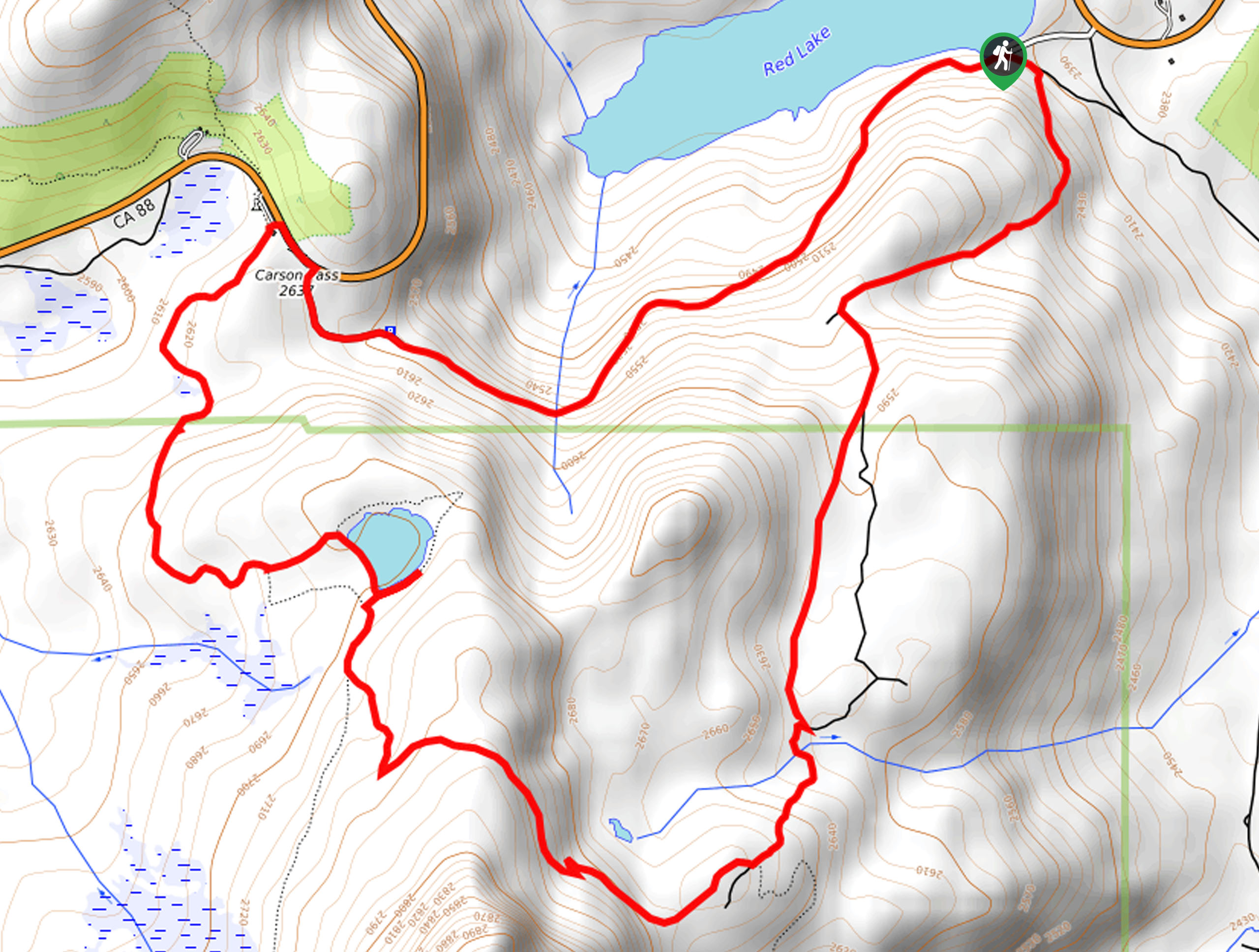
The Alpine Lakes Loop Trail departs from the Bayview Trailhead off Emerald Bay Road.

About
| Backcountry Campground | Backcountry Camping, Wilderness Permit Required. |
| When to do | April-September |
| Pets allowed | Yes - On Leash |
| Family friendly | No |
| Route Signage | Average |
| Crowd Levels | Moderate |
| Route Type | Circuit |
Alpine Lakes Loop Trail
Elevation Graph
Weather
Alpine Lakes Loop Trail Description
The Alpine Lakes Loop Trail covers a lot of ground, boasting awe-inspiring views of the High Sierra and the shimmering lakes nestled amongst the peaks. It is important to properly prepare and check the forecast to avoid getting caught in an afternoon storm when travelling into the high country. Additionally, we suggest dressing in layers and wearing a sturdy, comfortable pair of footwear. Reserved for experienced hikers and those acclimated to the area’s elevation, this trek demands stamina, so bring plenty of water! Note hikers are required to bring along a free Desolation hiking permit which is found at the trailhead.
Setting out from the Bayview Trailhead, the Alpine Lakes Loop Hike follows the Bayview Trail along the shoreline cliffs of Cascade Lake up to Granite Lake. At the next two intersections, take the leftmost Eagle Falls Trail onto the rightmost PCT, ultimately arriving at Dicks Lake. Enjoy the expansive views of the alpine terrain, then take the leftmost PCT to Fontanillis Lakes. Explore the shoreline the continue north along the PCT to the Upper and Middle Velma Lakes. From here, hook back onto the Eagle Falls Trail, heading east to the same intersection with Bayview Trail.
At this point, hikers will track the Eagle Falls Trail to Eagle Lake and Eagle Falls. At the trail’s end, turn right onto the Emerald Bay Road, hiking along the shoulder of the road before turning right into the Bayview Campground. Hike through the campground back to the trailhead, marking the end of your adventure.
Similar hikes to the Alpine Lakes Loop Trail hike
Red Lake, Frog Lake and Carson Pass Hike
Seeking a day hike away from the crowds of Lake Tahoe? The Lake, Frog Lake and Carson Pass Hike is…
Winnemucca and Round Top Lakes Hike
The Winnemucca and Round Top Lake Hike is an awesome adventure in the Mokelumne Wilderness. Wander through mixed pine forests…
Round Top, Winnemucca, and Fourth of July Lake Loop
The Round Top, Winnemucca, and Fourth of July Lake Loop is a high effort, high-reward type of adventure in the…
Comments