
Simpson River Trail
View Photos
Simpson River Trail
Difficulty Rating:
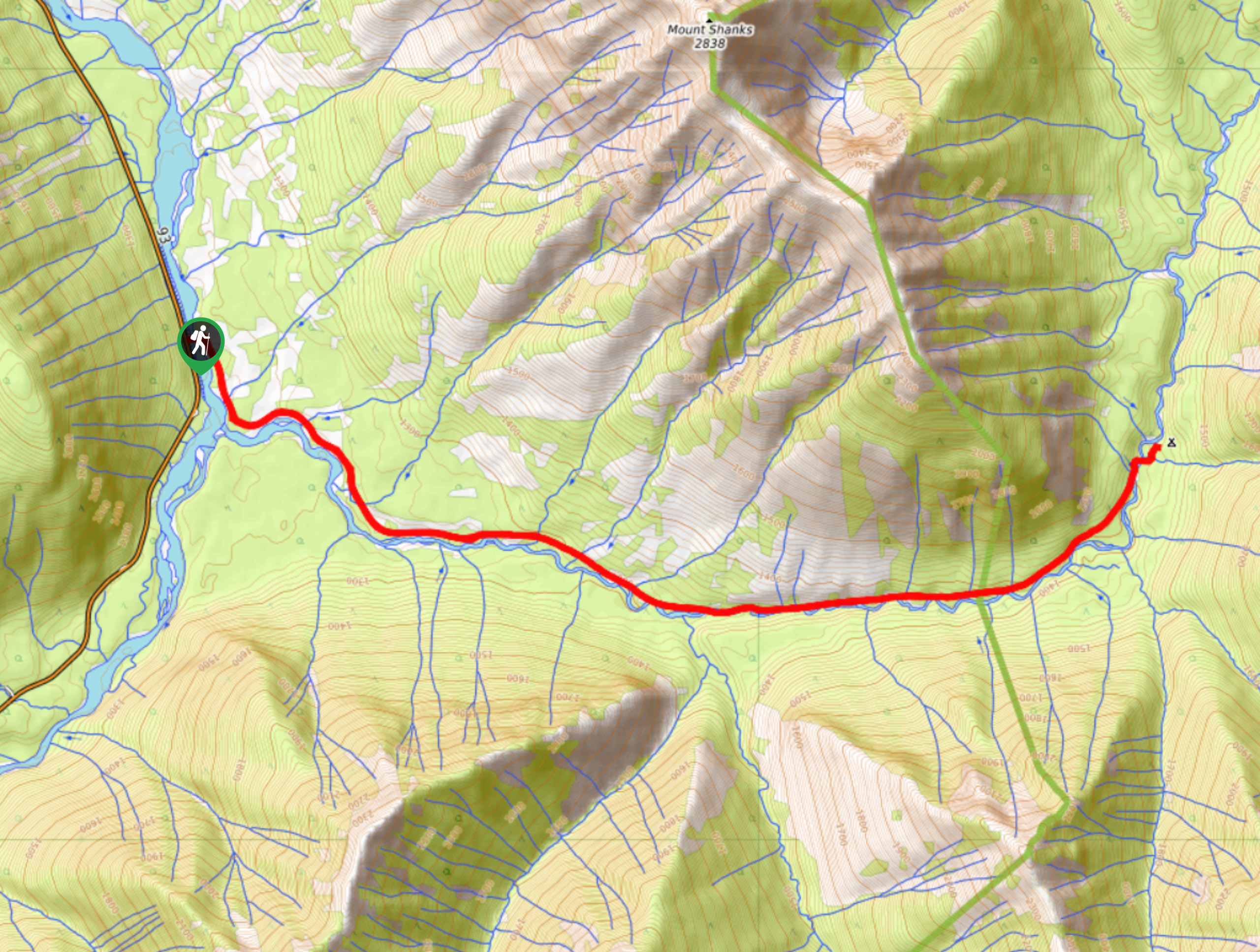
The Simpson River Trail is a beautifully scenic hiking route in Kootenay National Park that will take you from the banks of the Vermillion River to the Surprise Creek Campground. While out on the trail, you will hike along the winding Simpson River and take in views of the surrounding mountains as you make your way through the valley into Mount Assiniboine Provincial Park. This area was previously devastated by a forest fire, leaving a graveyard of charred trees that are surrounded by stunning views.,
Getting there
To get to the trailhead for the Simpson River Trail from Radium Hot Springs, make your way to the northeast along BC-93 for 35.7mi and turn right to enter the parking lot.

About
| When to do | June-September |
| Backcountry Campsites | Surprise Creek Campground |
| Pets allowed | Yes - On Leash |
| Family friendly | No |
| Route Signage | Average |
| Crowd Levels | Low |
| Route Type | Out and back |
Simpson River Trail
Elevation Graph
Weather
Simpson River Trail Description
Although the terrain along the Simpson River Trail was previously affected by a forest fire, it is still a dramatic and beautiful landscape that highlights the unique character of Kootenay National Park. Setting out from the parking lot, make your way east across the Vermillion River and follow the trail as it turns to the southwest along the banks of the Simpson River. From here, you will make your way along the winding river bank as it passes between rugged mountain peaks and a stretch of desolate forest filled with charred trees. Even with the level of destruction, plant and animal life have already begun to return to the area and will soon restore it to its former glory. Continue along the river and take in the beautiful views of the valley before arriving at the Surprise Creek Campground. From here, take some time to set up your camp for the night before heading back along the trail the next morning.
Similar hikes to the Simpson River Trail hike
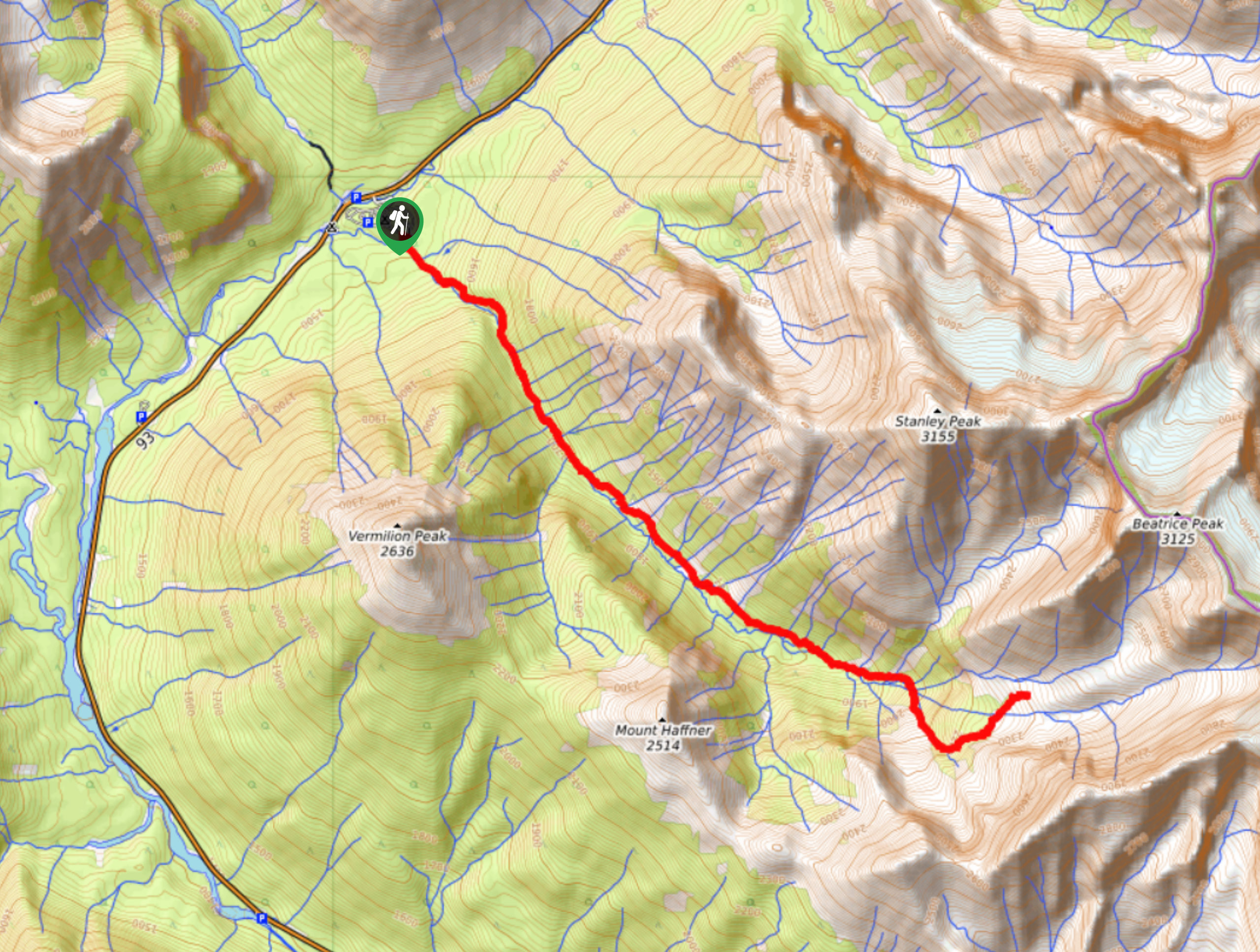
Haffner Creek Trail
The Haffner Creek Trail is a lengthy hiking route that will lead you along a winding creek for some scenic…
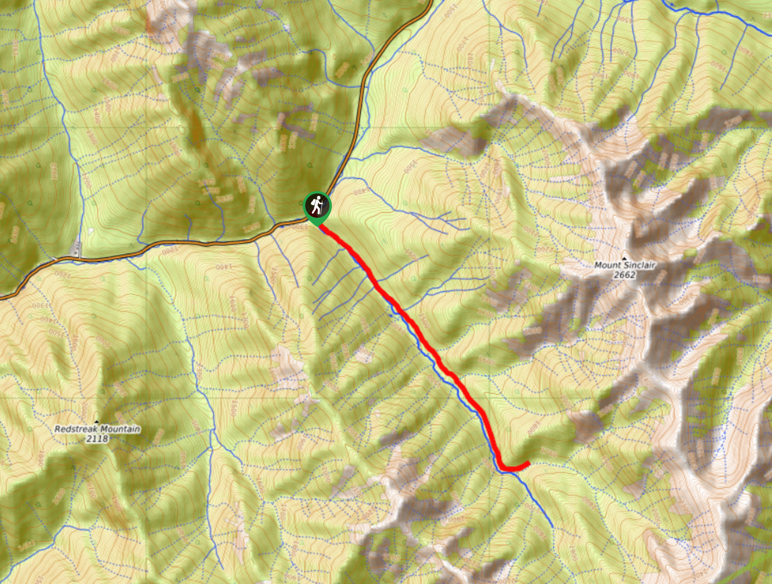
Kimpton Creek Trail
The Kimpton Creek Trail would be a nice and easy hike through the forest along a charming creek if it…
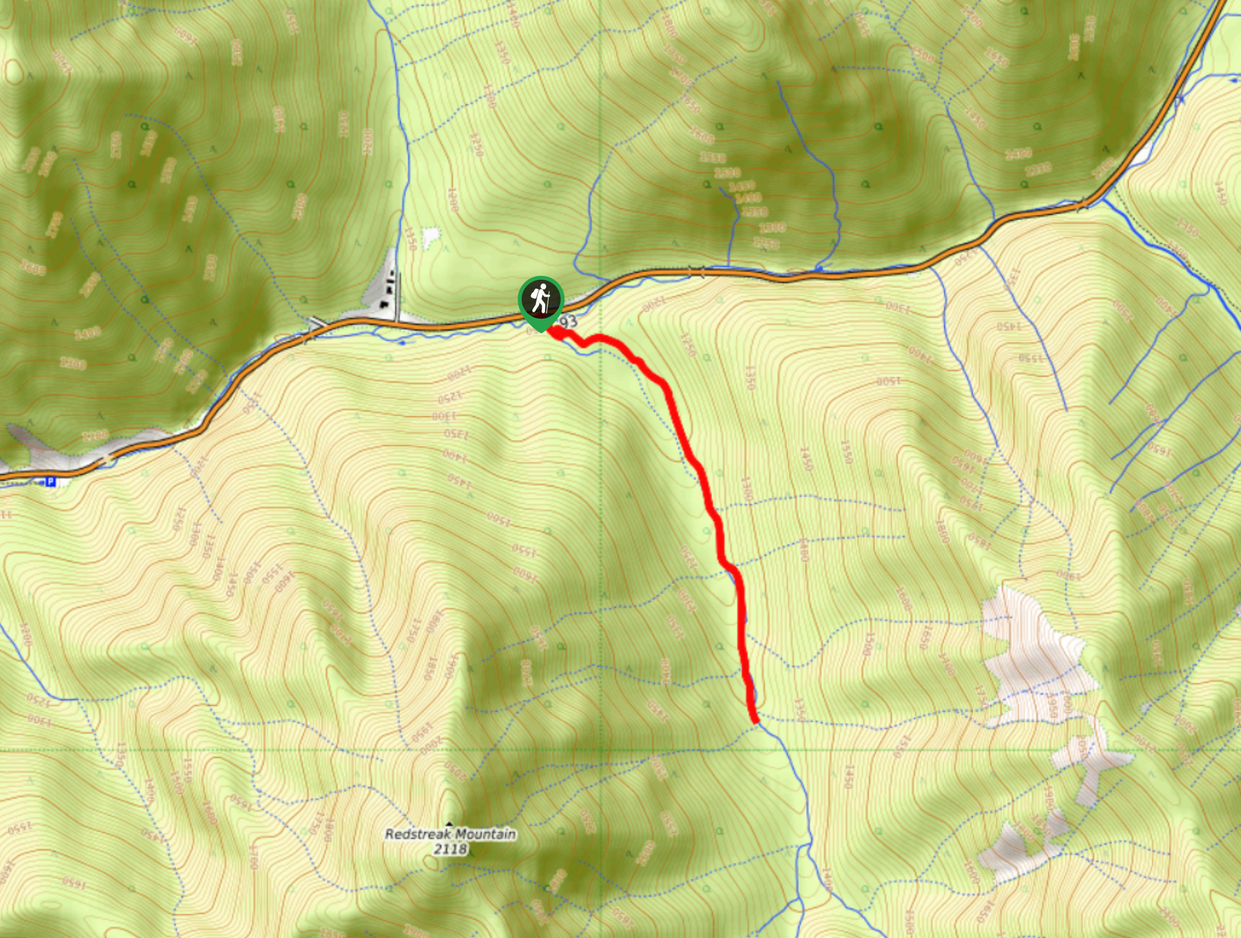
Redstreak Creek Trail
Hiking the Redstreak Creek Trail is a quick and relatively easy hike that features several steep sections of terrain and…
Comments