


Zirbenweg Hike
View PhotosGetting there
Drive to the chairlift station Talstation Glugenzerbahn in the village of Tulfes. There is a big parking lot that is free to use. There is a special ticket you can buy that includes chairlifts, gondolas and bus back to your car.
About
| When to do | June to October |
| Backcountry Campsites | No |
| Toilets | Yes, at trailhead |
| Family friendly | Yes |
| Route Signage | Average |
| Crowd Levels | High |
| Route Type | One Way |
Zirbenweg Hike
Elevation Graph
Weather
Route Description for Zirbenweg Hike
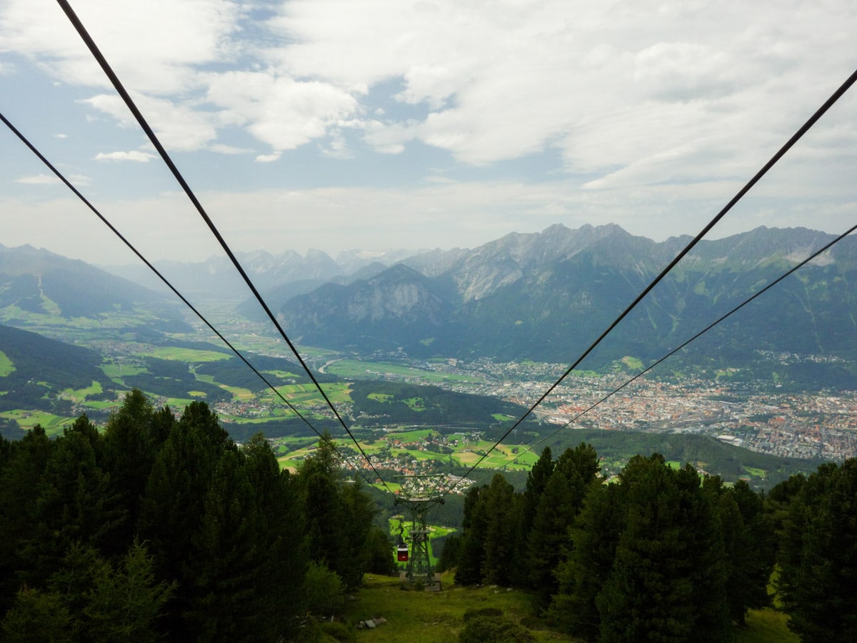
From the Glugenzerbahn chairlift station, go up the mountain via two sets of chairlifts to Tulfeinalm. Make sure you go all the way up to Tulfeinalm. You have to switch to another chairlift halfway through!
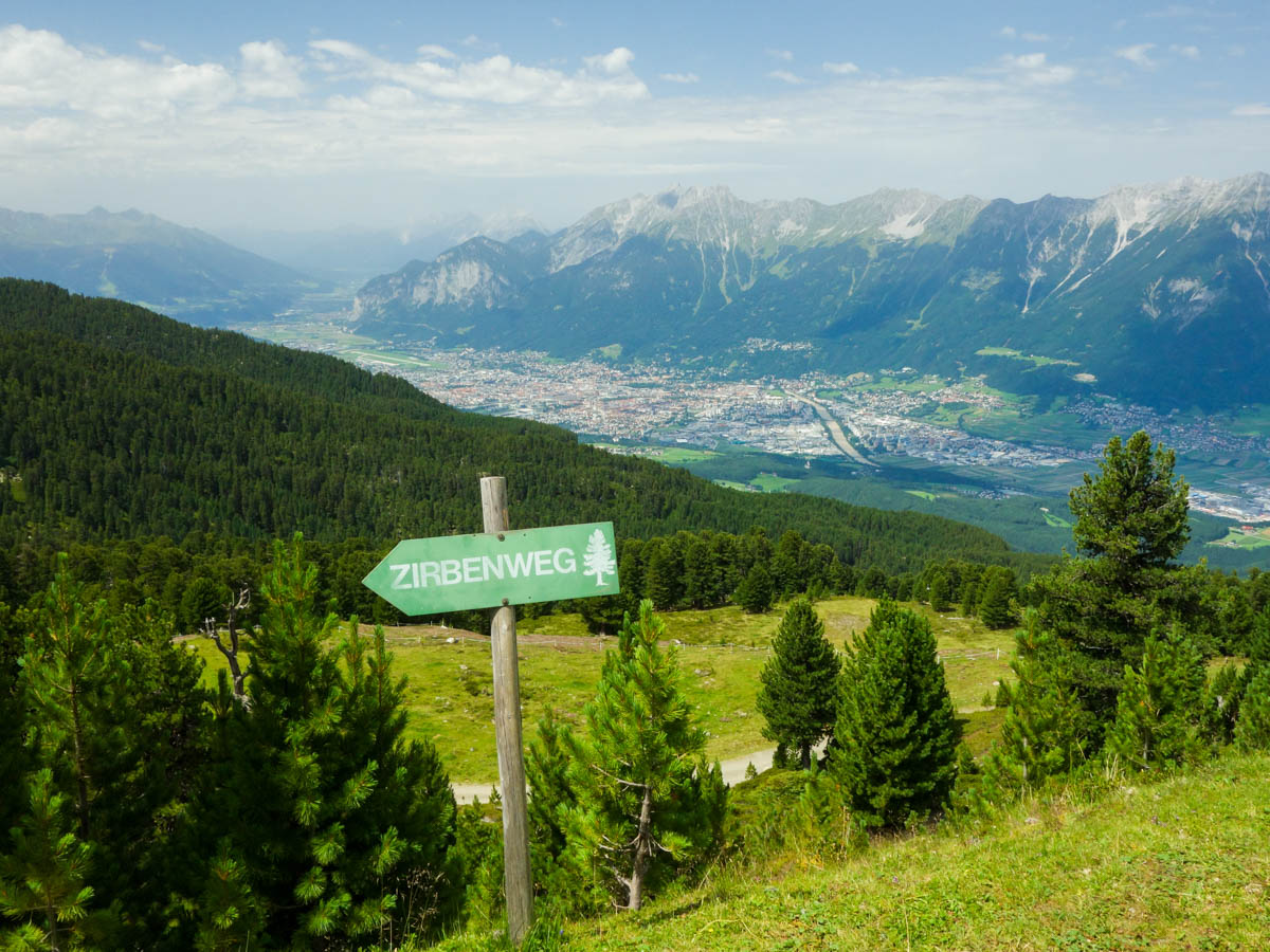
From the chairlift station at the top, follow the broad forest road along the mountain. There is also a wooden sign, saying “Zirbenweg”. After five to ten minutes you will reach Tulfeinalm where you can buy some beverages and enjoy the panorama on some beach chairs.
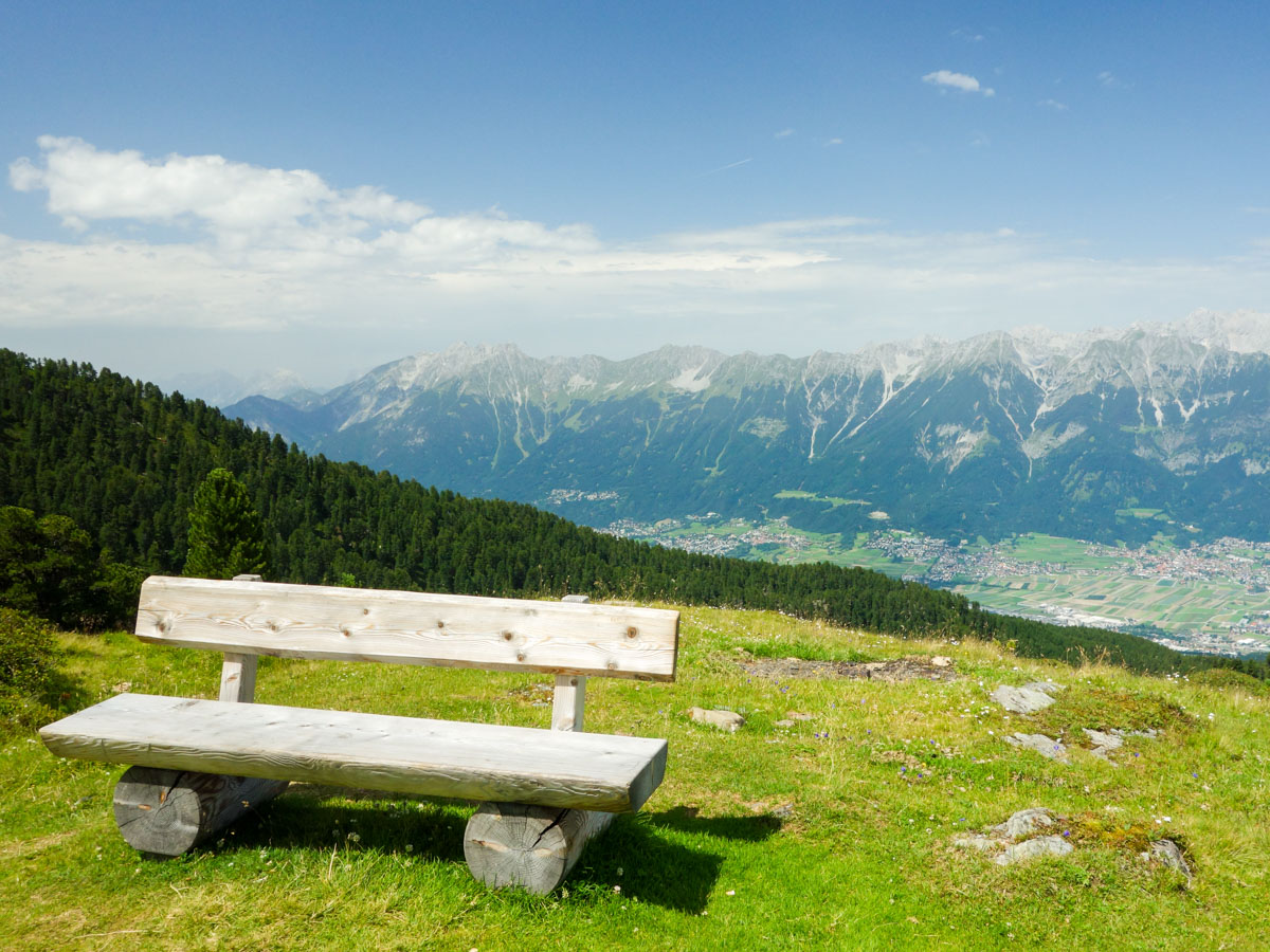
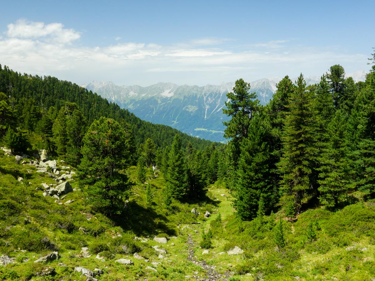
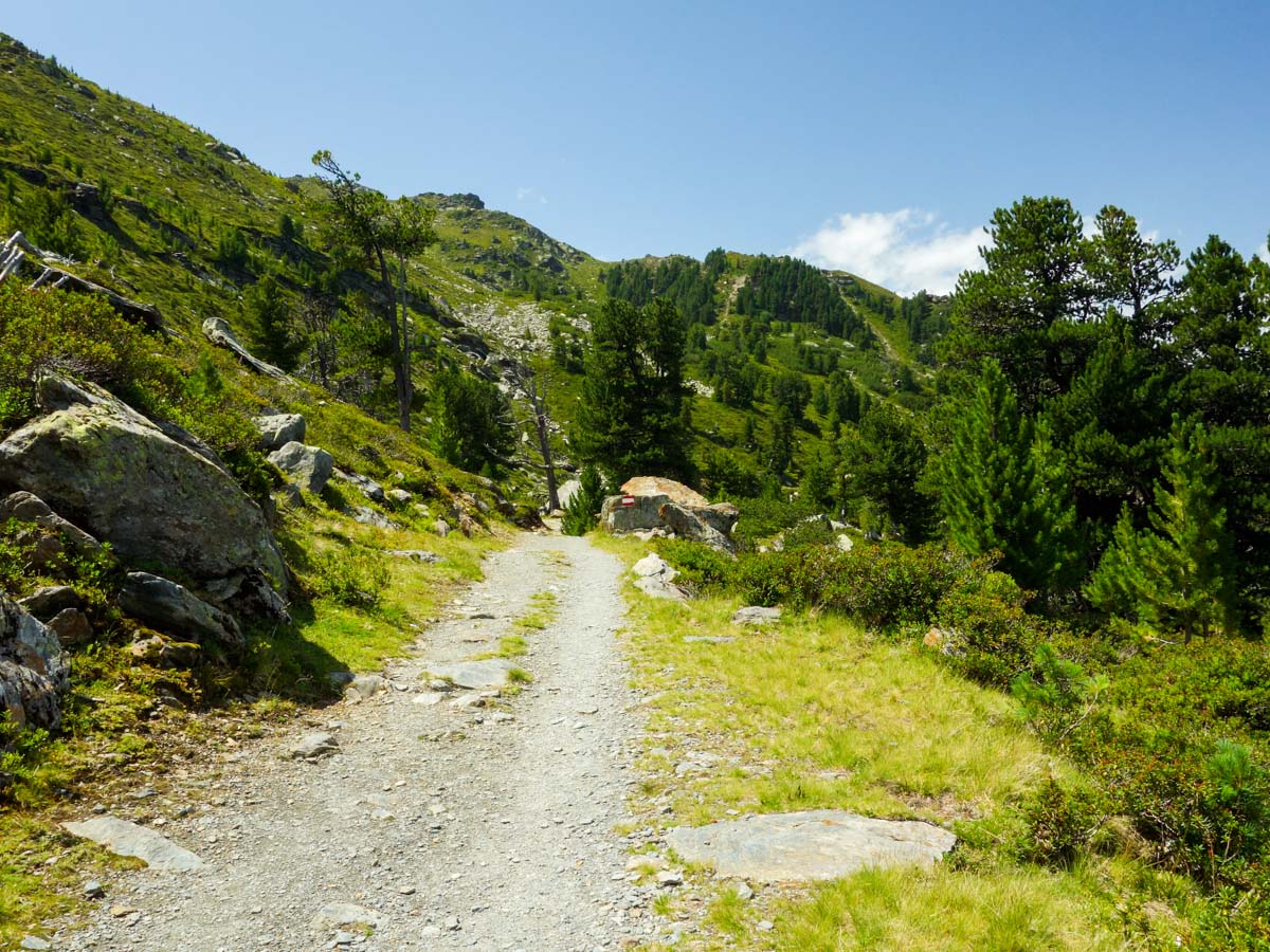
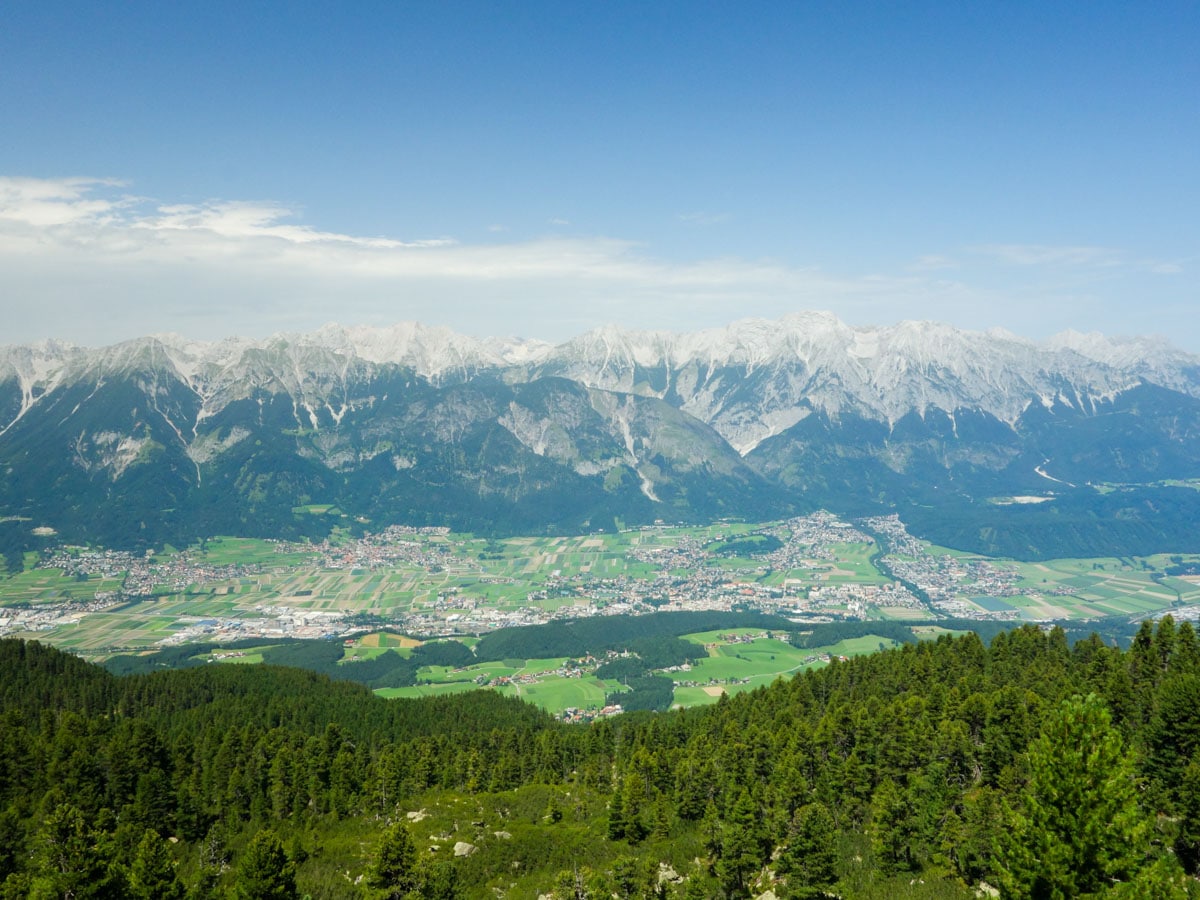
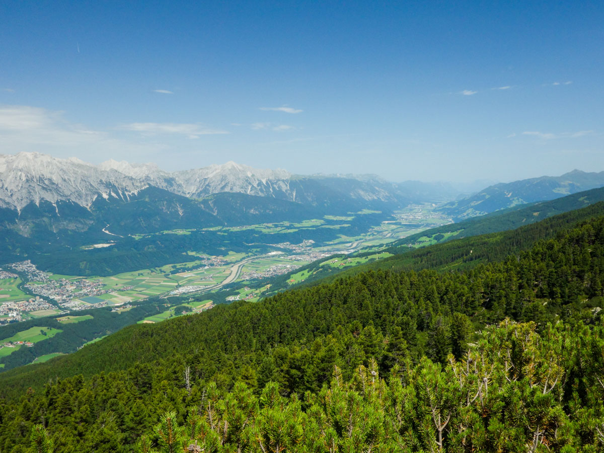
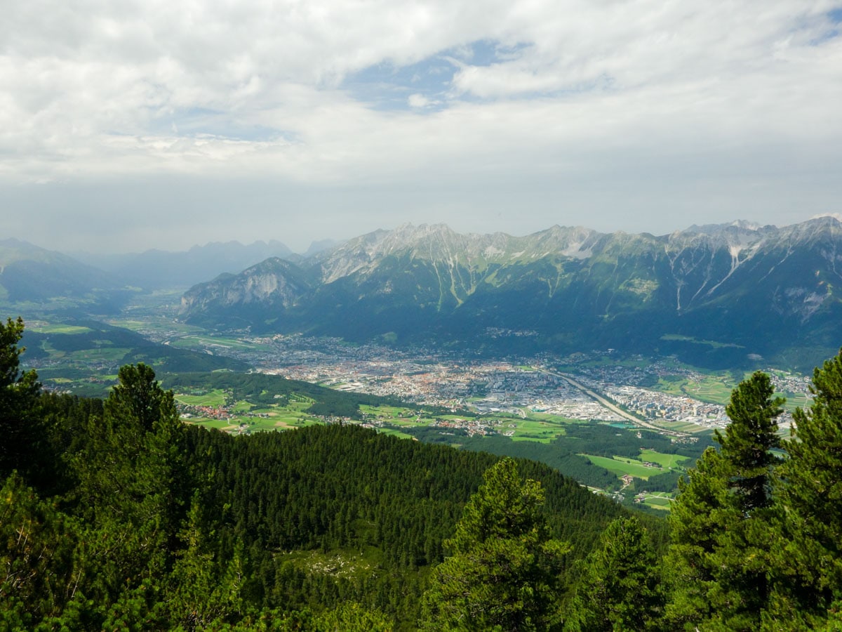
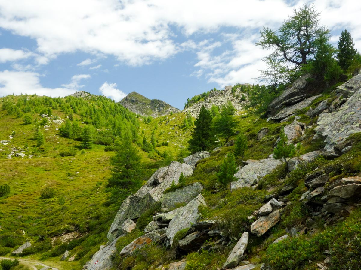
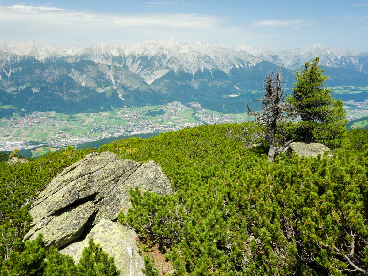
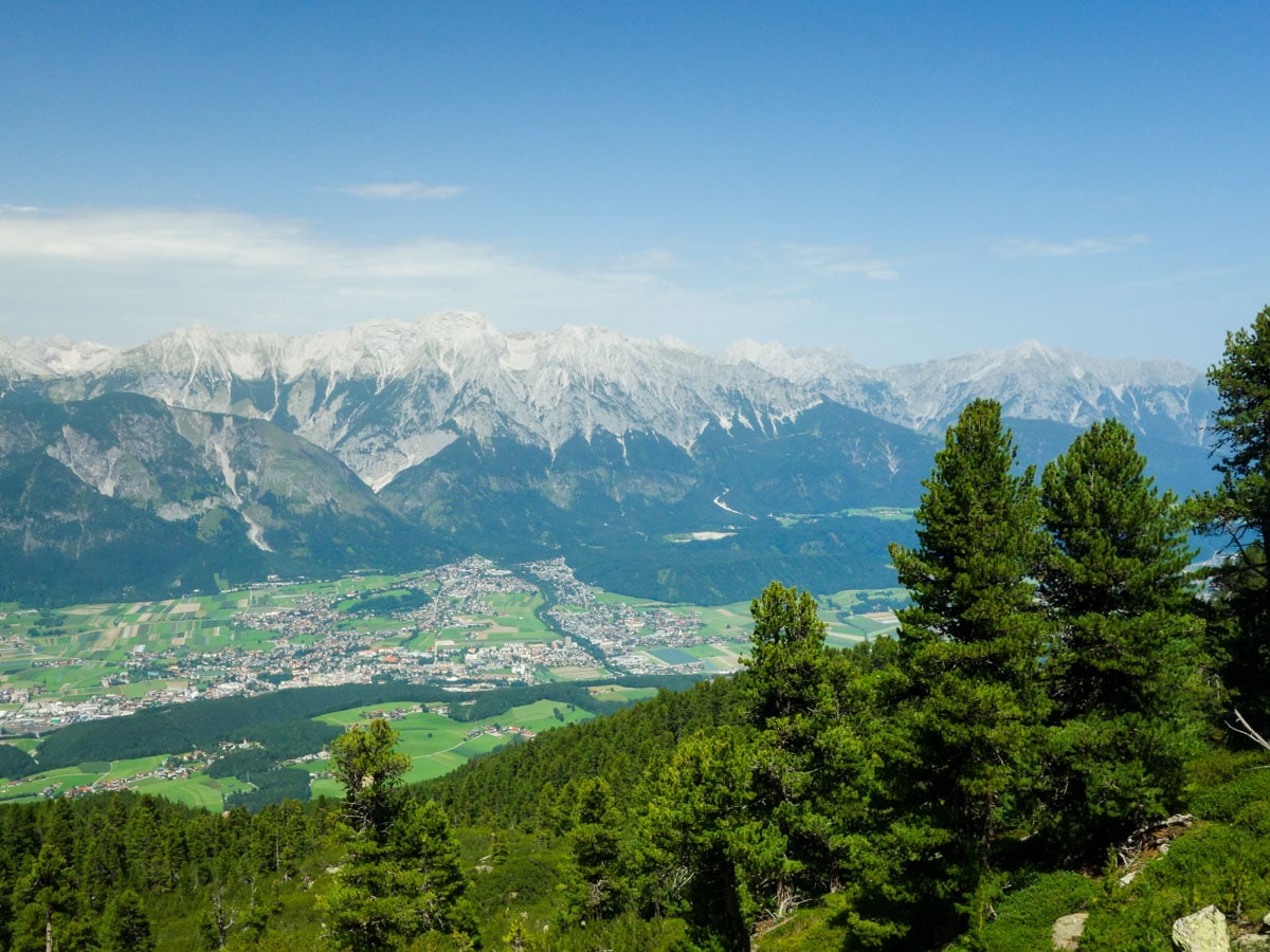
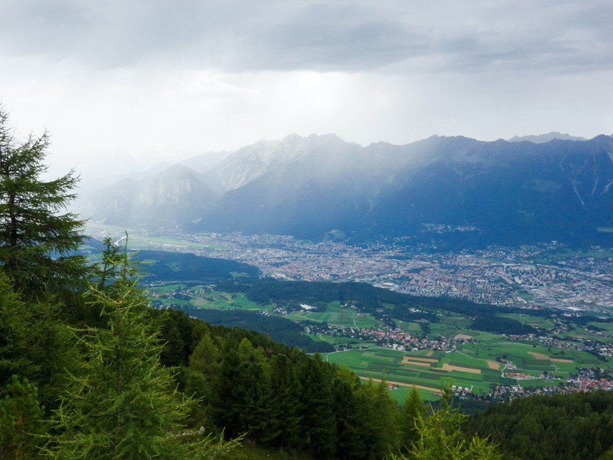
The actual trail starts as you pass under a wooden arch. The trail will continue on the broad forest road. As you walk across the treeline, you’ll have an amazing panoramic view of the Inntal valley lying below and the Karwendel mountain range. There are some junctions that lead to nearby peaks, but you’ll always continue straight on the trail along the mountain crest. There is not much elevation gain. The trail is broad and easy at all times. It is a very popular family hike.
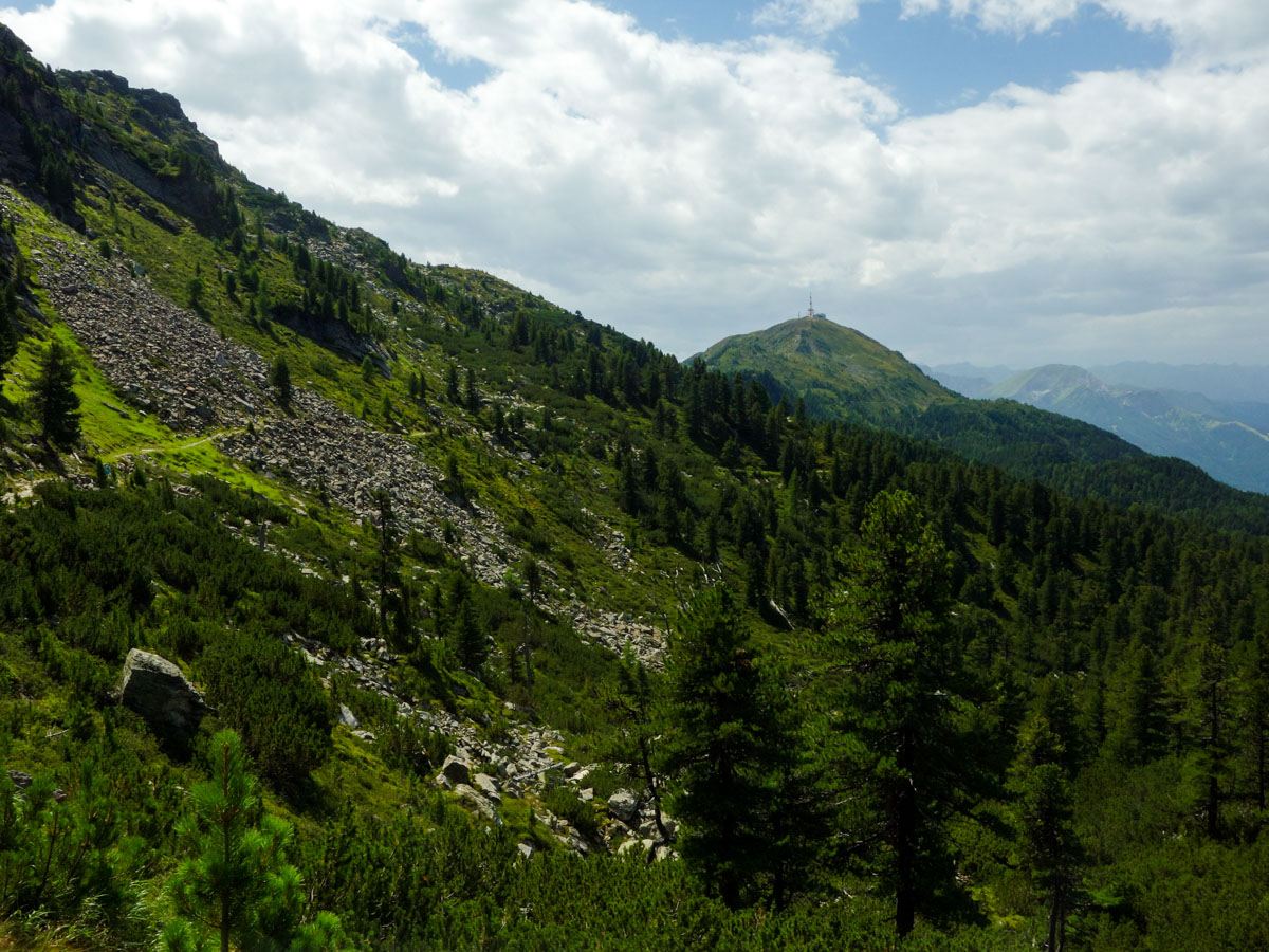
After approximately 1.5h you will arrive at a junction. You can decide if you want to summit Patscherkofel peak or continue on the Zirbenweg. To continue on the trail, take the path going right. There are multiple signposts that show the directions. Keep in mind that you want to get to the ‘Patscherkofelhaus’ not Patscherkofel.
30-45 minutes later you will finish the hike at the Patscherkofelhaus. Take the cable car down to the village of Igls and go back to your car by bus. Many people retrace their steps and go back the same way they came from.
Insider Hints
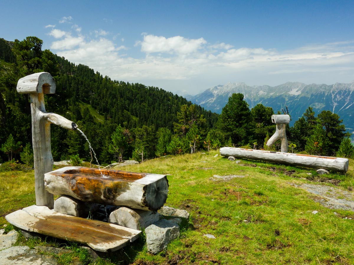
In the beginning of the trail there are a couple of streams where you can get water. The water is clear, but we still recommend treating any water you come across.
The chairlift station is closed for 30 minutes at lunchtime, around noon.
Instead of buying all the tickets for transportation separately, there is a special combination ticket for the cable car, chairlift and the bus (around 24€) that saves you some money.
Similar hikes to the Zirbenweg Hike hike
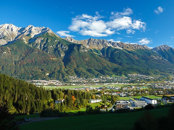
Natterer See Hike
The Natterer See Hike is a short adventure that will take you through a lovely forest to a beautiful lake.…
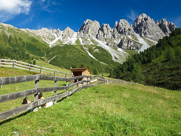
Kemater Alm Hike
Kemater Alm is one of the most beautiful places in Tyrol, and therefore, it’s also one of the best places…
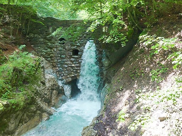
Wolfsklamm Hike
The Wolfsklamm Hike is a fun and scenic adventure in the Tyrolean Lowlands of Austria that will take you through…


TutiDulce 5 years ago
Super place with a great view of the valley to Innsbruck.
Tom Zugberg 5 years ago
Fantastic view. Pretty popular place
Udo Huber 5 years ago
Enjoyable short and easy hike.
Cloudhigh 5 years ago
Perfect hiking trail, great views
Kamil Blajak 5 years ago
A wonderful and promising hike! It was a great day
Gilberto Fattore 5 years ago
Always worth a visit! We enjoyed the hike
Alexis Schweitzer 5 years ago
Beautiful hike with fantastic views of the Inntal valley
Francesco D. 5 years ago
This was an incredibly beautiful hike. the hills were covered in wildflowers
Andrea R 5 years ago
Beautiful gardens well worth a visit
Jamie Parker 5 years ago
It was a great place to visit. There are streams along the way where you can get fresh water.