Sellraintaler Höhenweg Hike
View Photos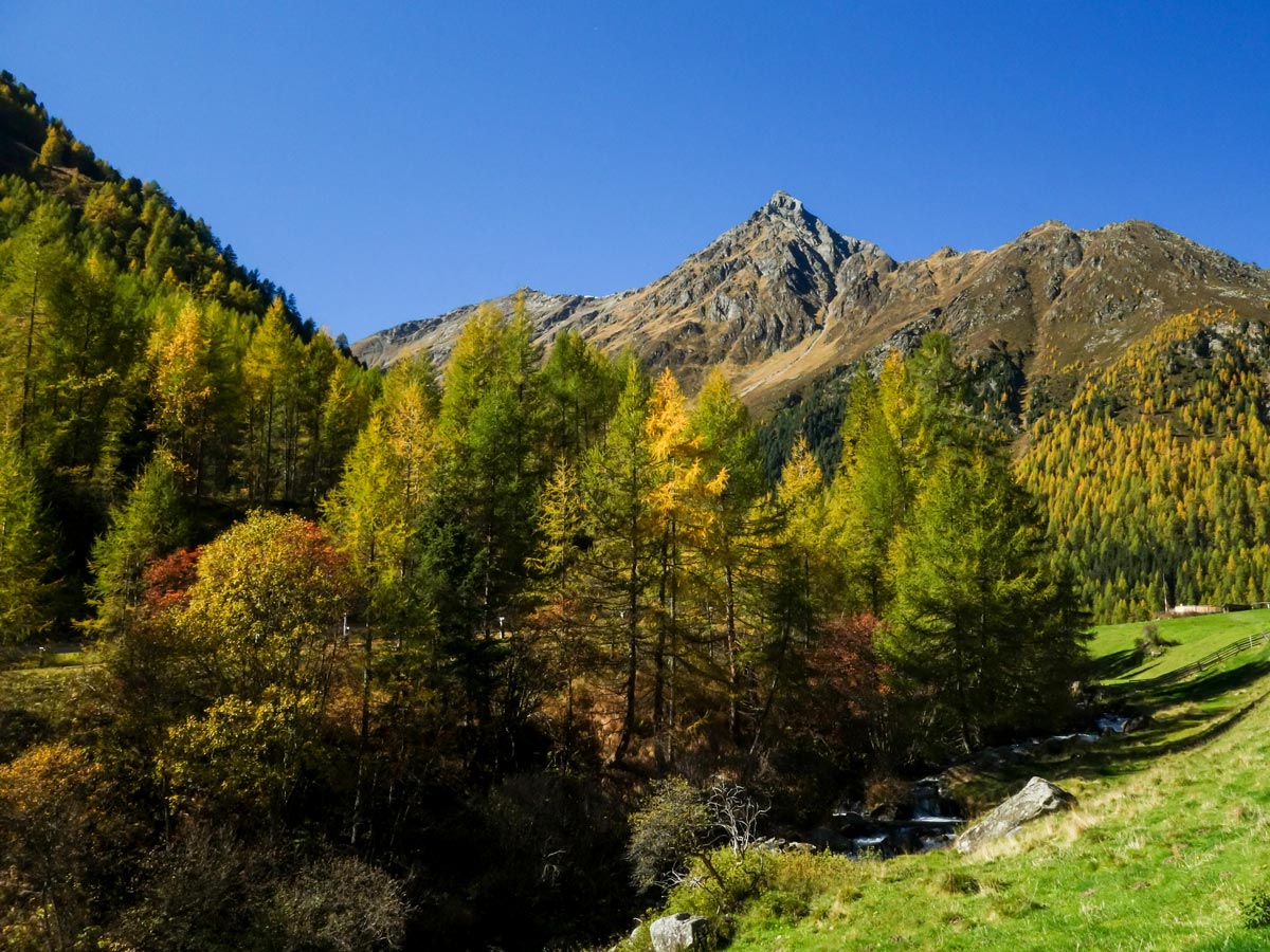
Sellraintaler Höhenweg Hike
Difficulty Rating:
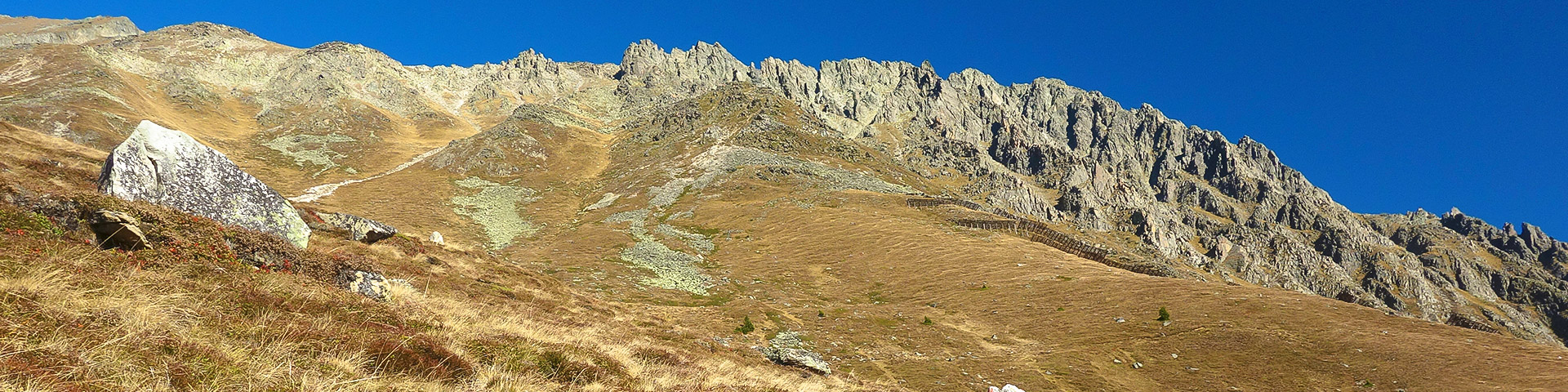
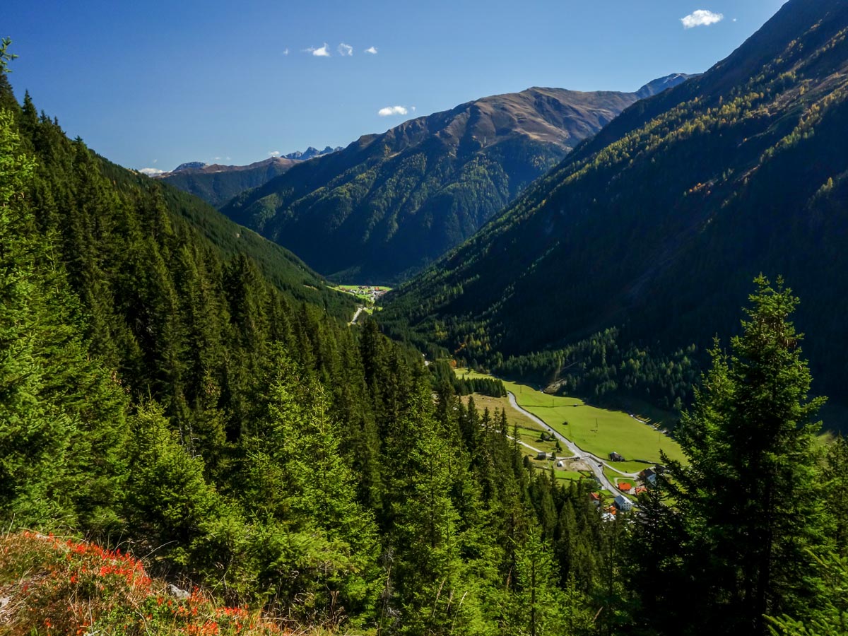
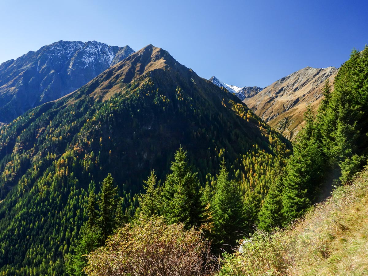
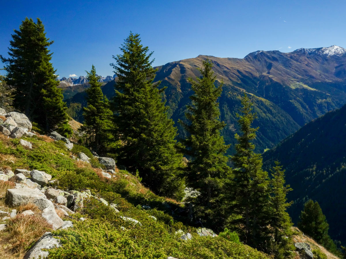
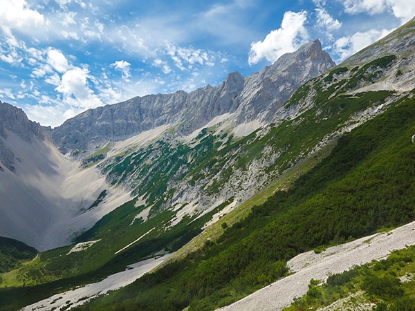
Sellraintaler Höhenweg is strenuous day hike with a distinctly Austrian name. The trail takes you through the valley of Sellrain with rewarding vistas. It’s one of the wildest and least crowded areas to hike near Innsbruck.
Getting there
Drive to the village of St. Sigmund im Sellrain and park your car there. You can also leave your car at the end of the hike in Sellrain and take a bus to the start. The hike begins to the west of the village.

About
| When to do | June to October |
| Backcountry Campsites | No |
| Toilets | No |
| Family friendly | No |
| Route Signage | Average |
| Crowd Levels | Low |
| Route Type | One Way |
Sellraintaler Höhenweg Hike
Elevation Graph
Weather
Route Description for Sellraintaler Höhenweg Hike
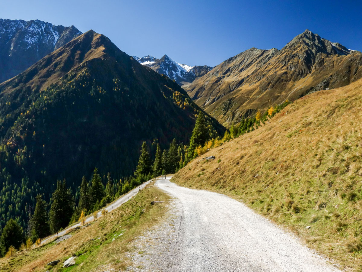
Leave St. Sigmund towards the village of Haggen. After about five minutes, walking next to the street, you will see a junction to the right. There is a signpost showing the direction to Sonnbergalm. Follow the signs up the road. Soon you will cross a little bridge and afterwards there is another junction. Go right onto the forest road in the direction of Sonnbergalm.
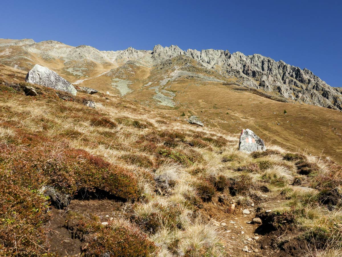
After about 1h you will reach the next junction. The left path goes to Sonnbergalm (five min) and the right path will take you along the Sellrainer Höhenweg trail to the village of Sellrain. Take the trail going right, following the forest road. Soon after the junction, the trail goes up the mountain to the left (leaving the forest road), and you will see red-white-red markings on some stones!
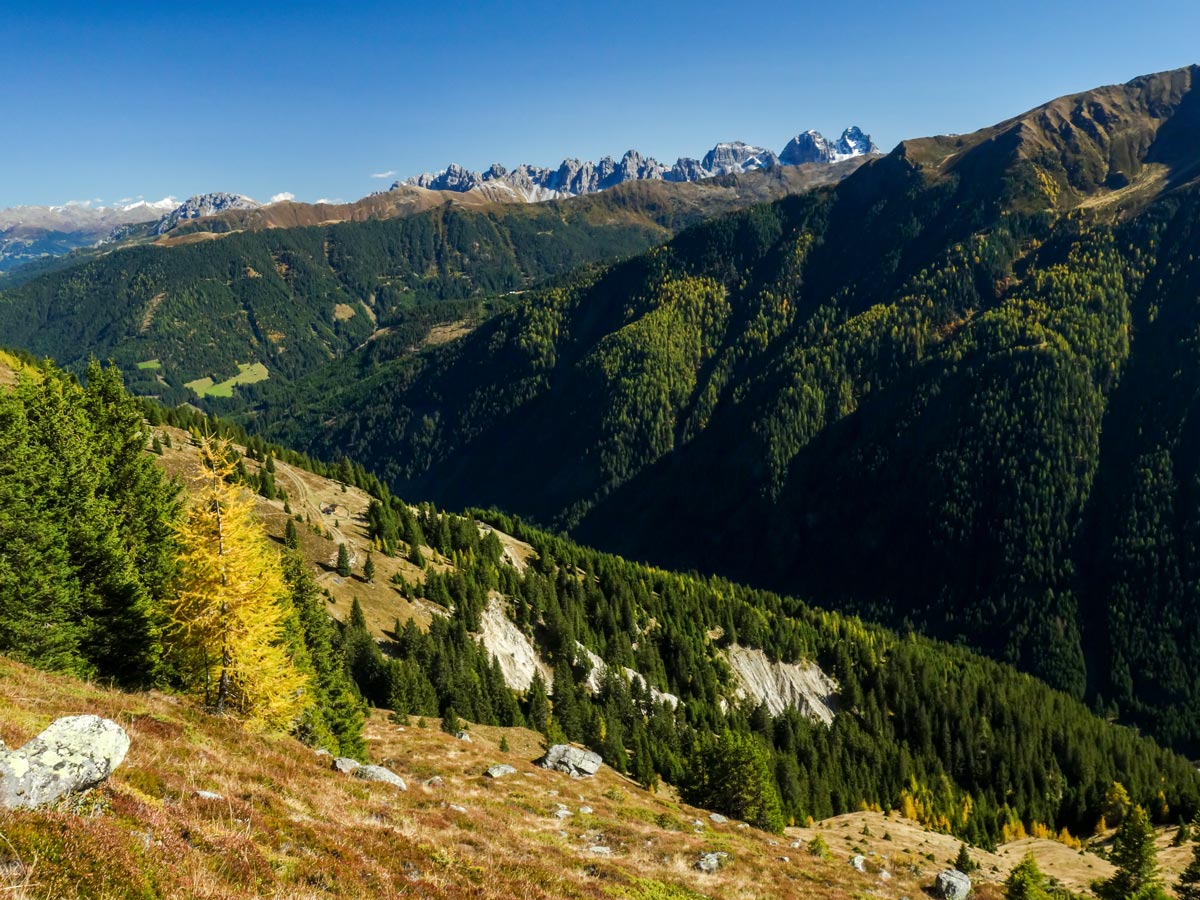
Follow this trail along the slopes of the mountain for around 1.5-2h. There are three junctions on the way, but you’ll always follow the red-white-red markings on the stones and trees. Also there are signposts at the junctions. You’ll always want to take the Sellrainer Höhenweg trail. The other trails lead you to nearby peaks or down into the valley. You’ll stay at approximately the same altitude with a lot of little (but steep) ups and downs.
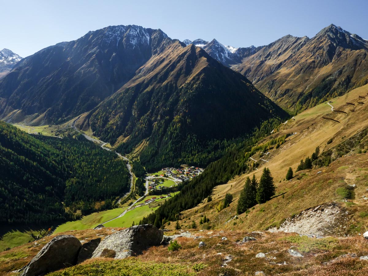
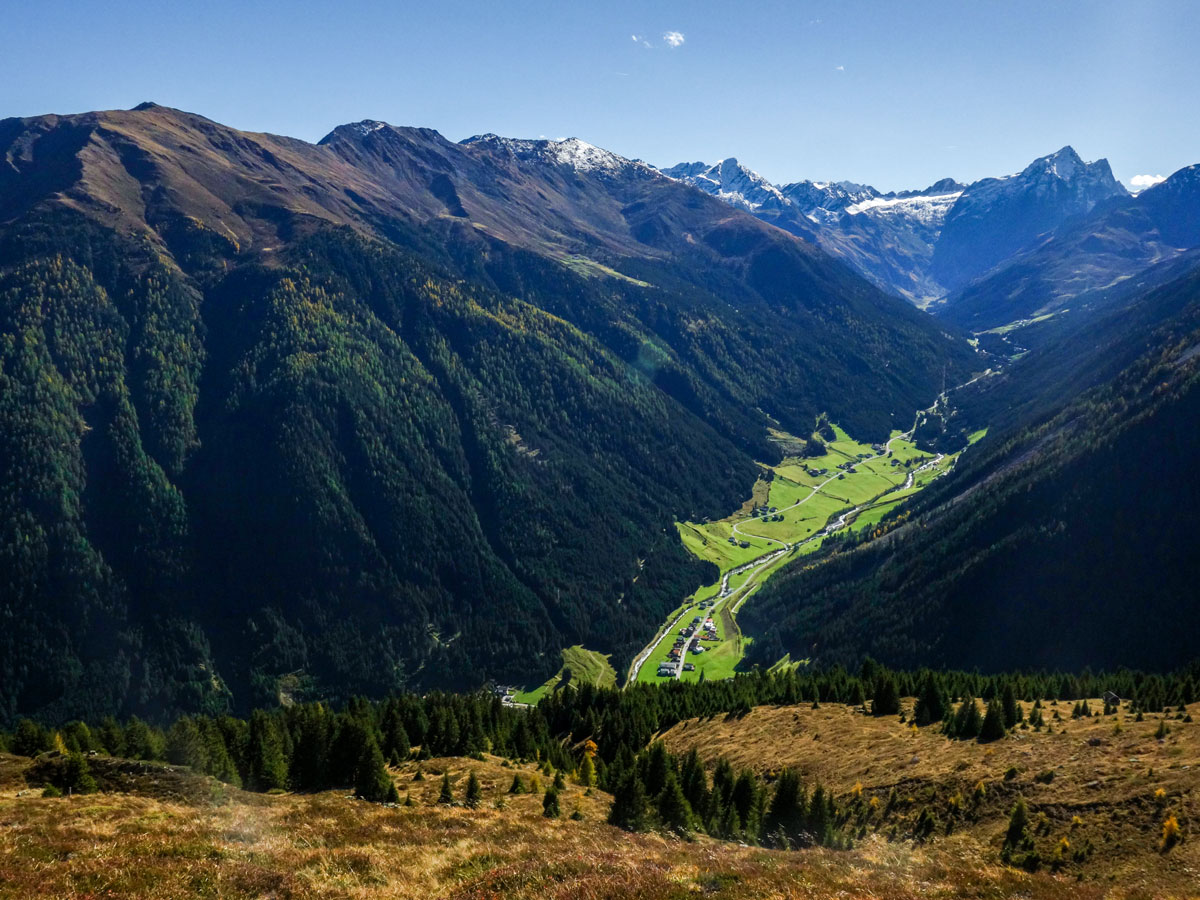
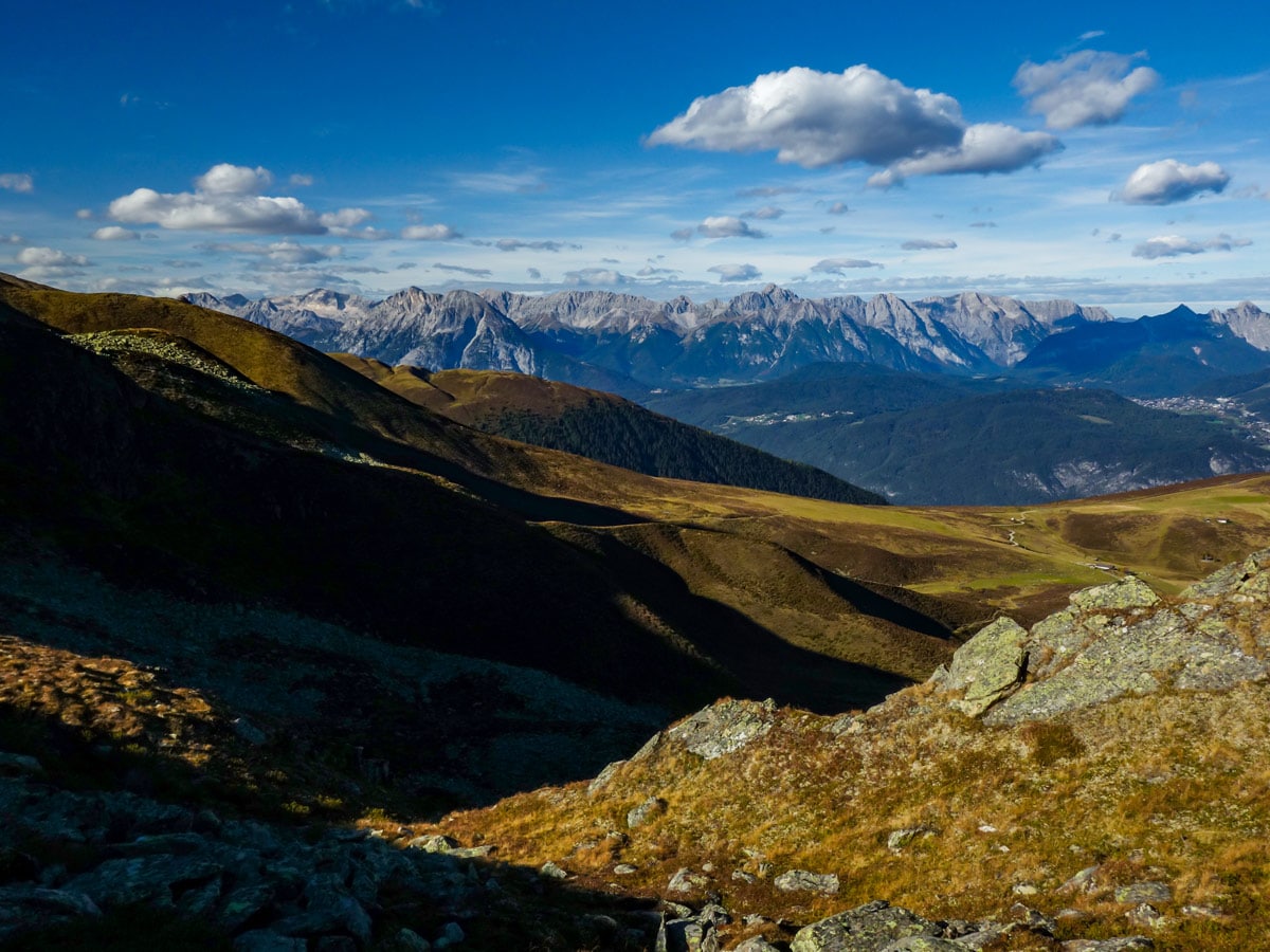
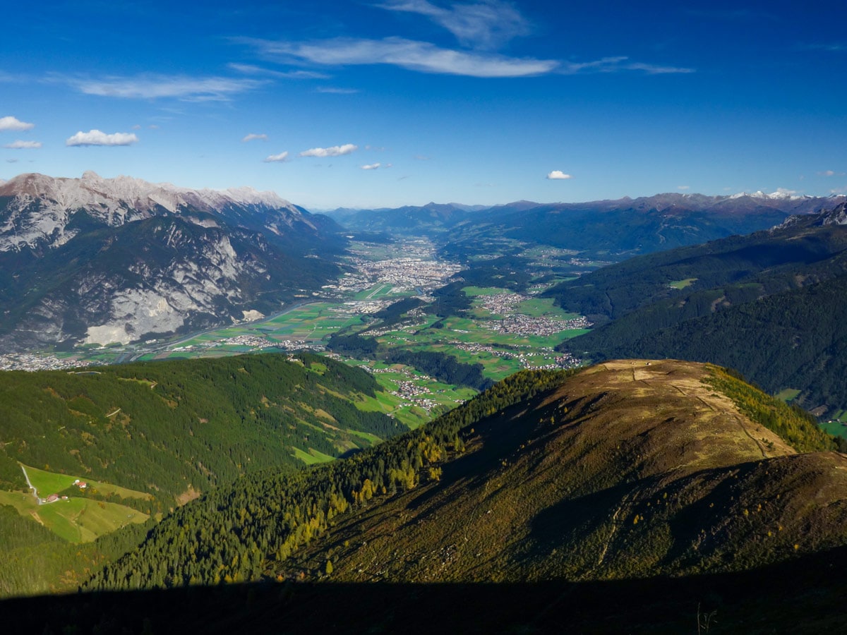
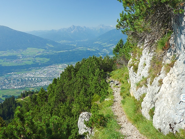
After 1.5-2h you will reach a junction with a bench and a big cross. You’ll be able to see Innsbruck from here. Also, you will see a little hill in front of you with a summit cross on its peak. It is called Kögele. You can summit it if you like; it is just five minutes off the trail and it has amazing views over the Inntal, Innsbruck and the surrounding mountains.
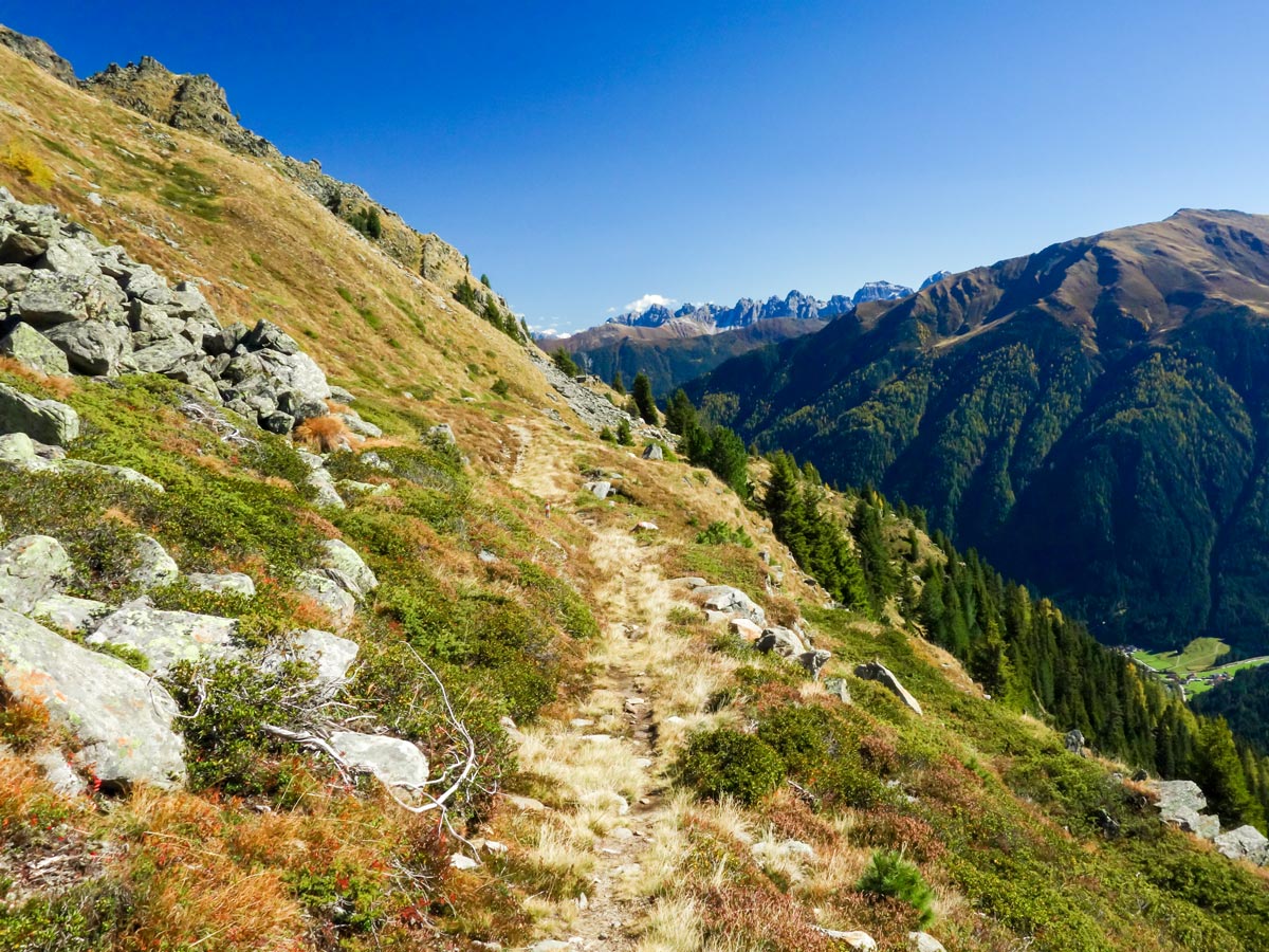
Afterwards, go back on the trail you came from and descend along the ridgeline (following the signs saying ‘St. Quirin’ or ‘Sellrain’). You will walk along the ridge above the treeline for about 30-40 minutes. Always follow the red-white-red markings. Take your time on the descent; it is very steep!
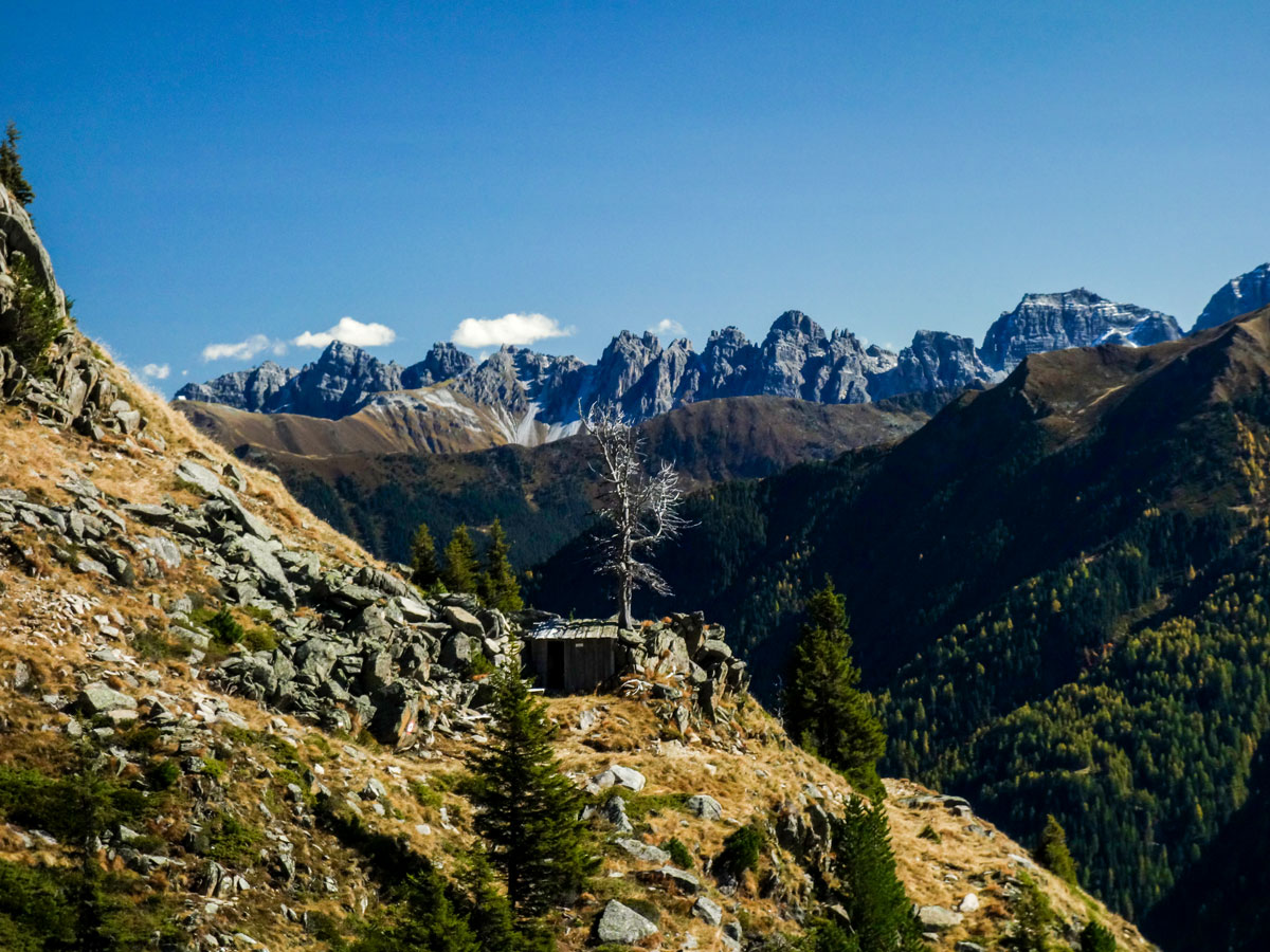
After about 1h from Kögele you will reach two or three little houses. When you see them you know you’ll reach the street soon. Follow this street down to the village of Sellrain. If you left your car at the start you can either take the bus or a taxi back to St. Sigmund to get back to your car.
Insider Hints
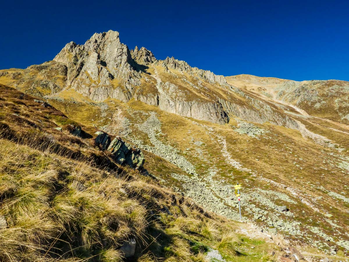
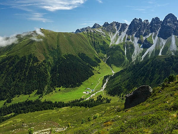
If you have enough time and endurance, you can summit Rosskogel along the way. You will see the trail going up the mountain (to the left) at one of the junctions along the way. You will have outstanding vistas over the whole area. There is also a hut called Rosskogelhütte where you can sleep and make it a two-day hike.
If you’re looking to grab some good photos, you’ll have the best light in the afternoon. So, start early in the day and make your way up to the beautiful viewpoints.
If you want to travel by public transportation, check the bus plan before the hike because in the shoulder season the busses do not run regularly.

Similar hikes to the Sellraintaler Höhenweg Hike hike
Halltal Hike
Halltal is a long and strenuous hike. This typical Austrian walk takes hikers along an amazing, panoramic trail, eventually leading…
Goetheweg Hike
The Goetheweg Hike is a scenic route that offers some of the best aerial views of Innsbruck. The trail walks…
Schaflegerkogel Loop Hike
The Schaflegerkogel Loop is an amazing Innsbruck hike. This walk traverses a beautiful ridge to summit four different peaks before…
Udo Huber 5 years ago
Climbing up is moderatley challenging. Spectacular view of Sellrain at the peak.
Jakob F. 5 years ago
We had a fantastic experience. We were particularly impressed by panoramic views
TutiDulce 5 years ago
it took us 8 hours to finish it and the steep climbing was challenging
Andrea R 5 years ago
Very beautiful in summer. A nice place to relax and enjoy the beauty of nature.
Jamie Parker 5 years ago
I appreciate how well marked the path was and there are enough signposts around the area. It made everything convenient.
Axel Ross 5 years ago
The trail is definitely doable but i wouldn't call it easy. Awesome views of vistas and forests.
Yuyu Kishimoto 6 years ago
Nice, medium-easy hike through the valley. This was a fun and pretty!
Edmund D. 6 years ago
What an exciting hike! Enough challenge and beautiful views.
Aria Z. 6 years ago
A steep trail with great rewards! Beautiful views.
Dawn C. 6 years ago
The hike was strenuous. Fantastic panoramic views. Superb view of the forests.