Schaflegerkogel Loop Hike
View Photos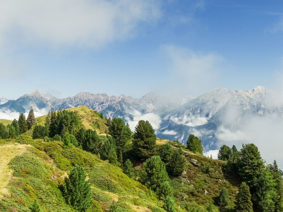
Schaflegerkogel Loop Hike
Difficulty Rating:
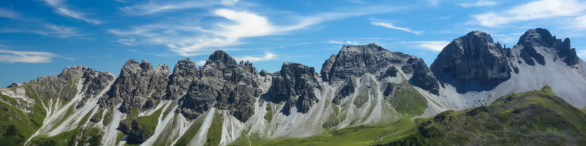
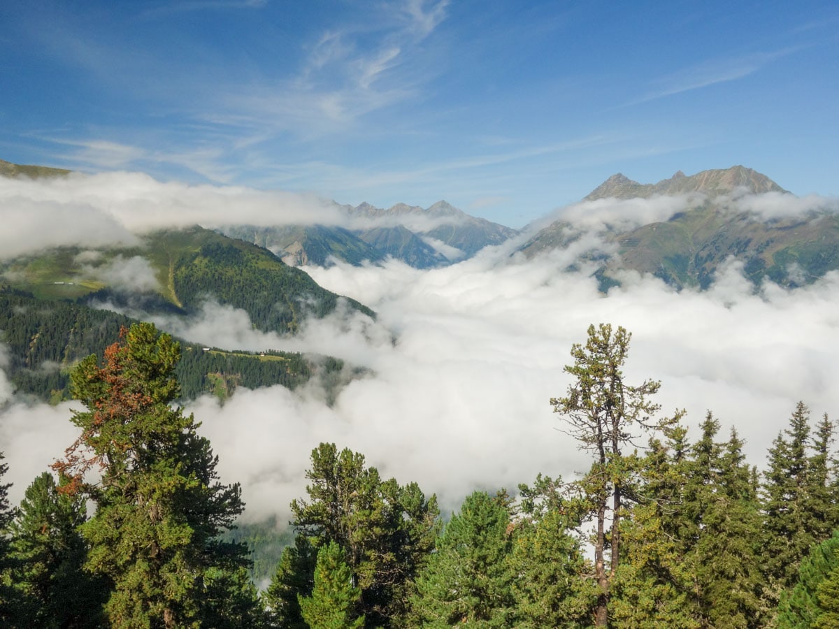
The Schaflegerkogel Loop is an amazing Innsbruck hike. This walk traverses a beautiful ridge to summit four different peaks before descending into a lovely, wild valley. Along this trail you will find amazing vistas and relatively few people, making this hike one of the best in Innsbruck.
Getting there
To get to the Schaflegerkogel Loop Trailhead from the village of Grinzens, drive south, up the mountain road in the valley Senderstal until you reach the last parking lot. You will have to pay a small fee to use this road.

About
| When to do | From June to October |
| Backcountry Campsites | No |
| Toilets | Yes, at Kemater Alm |
| Family friendly | No |
| Route Signage | Average |
| Crowd Levels | Low |
| Route Type | Circuit |
Schaflegerkogel Loop Hike
Elevation Graph
Weather
Schaflegerkogel Loop Trail Description
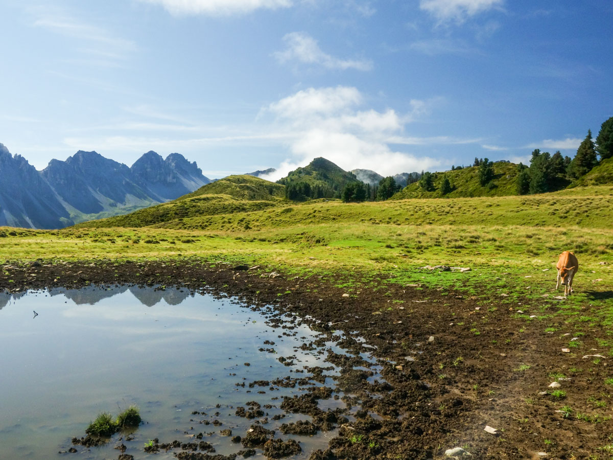
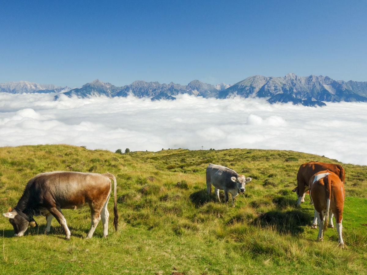
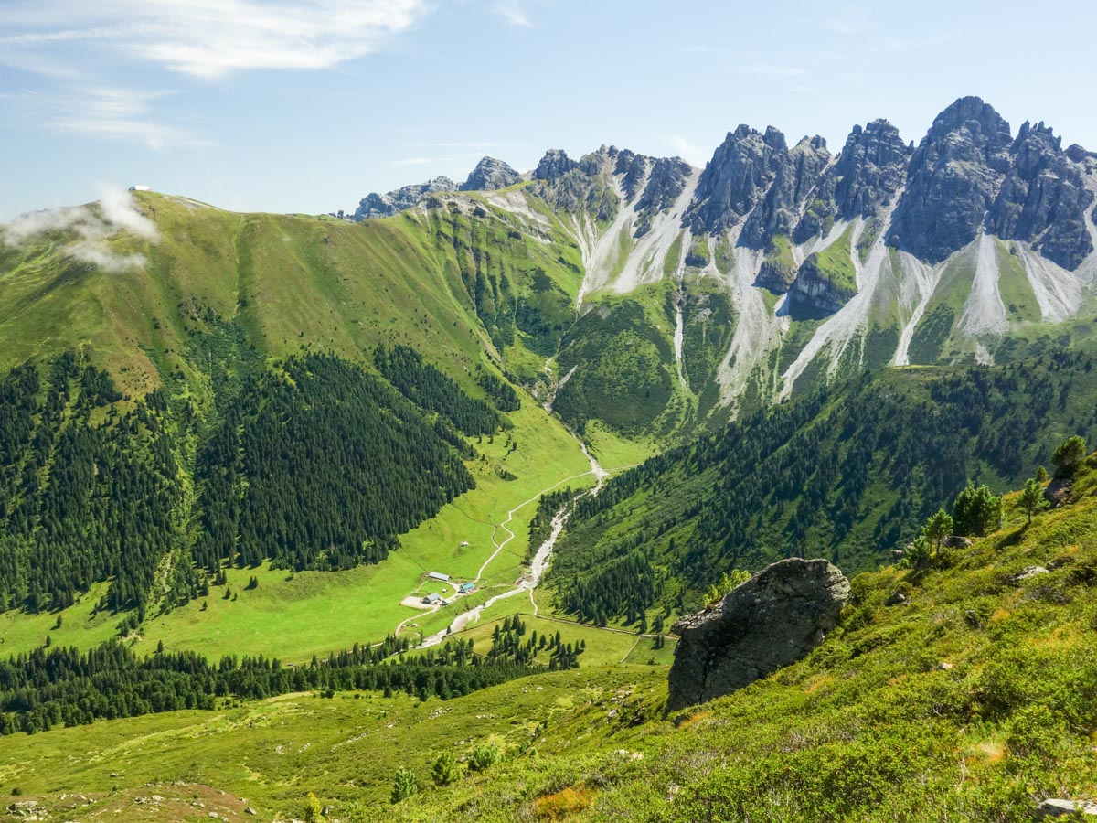
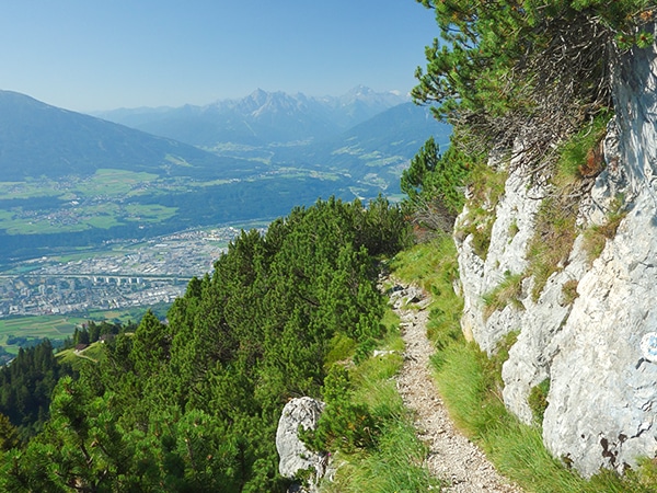
To start the Schaflegerkogel Loop Trail from the parking lot, cross the little bridge to your left, and follow the forest road uphill to Salfains Alm. From there, take the path leading into the meadow and past the huts. Follow the sign that has Salfains written on it. After about twenty minutes you will come to a meadow with wonderful panoramic views and a small lake. You’ll likely see a herd of cows grazing here.
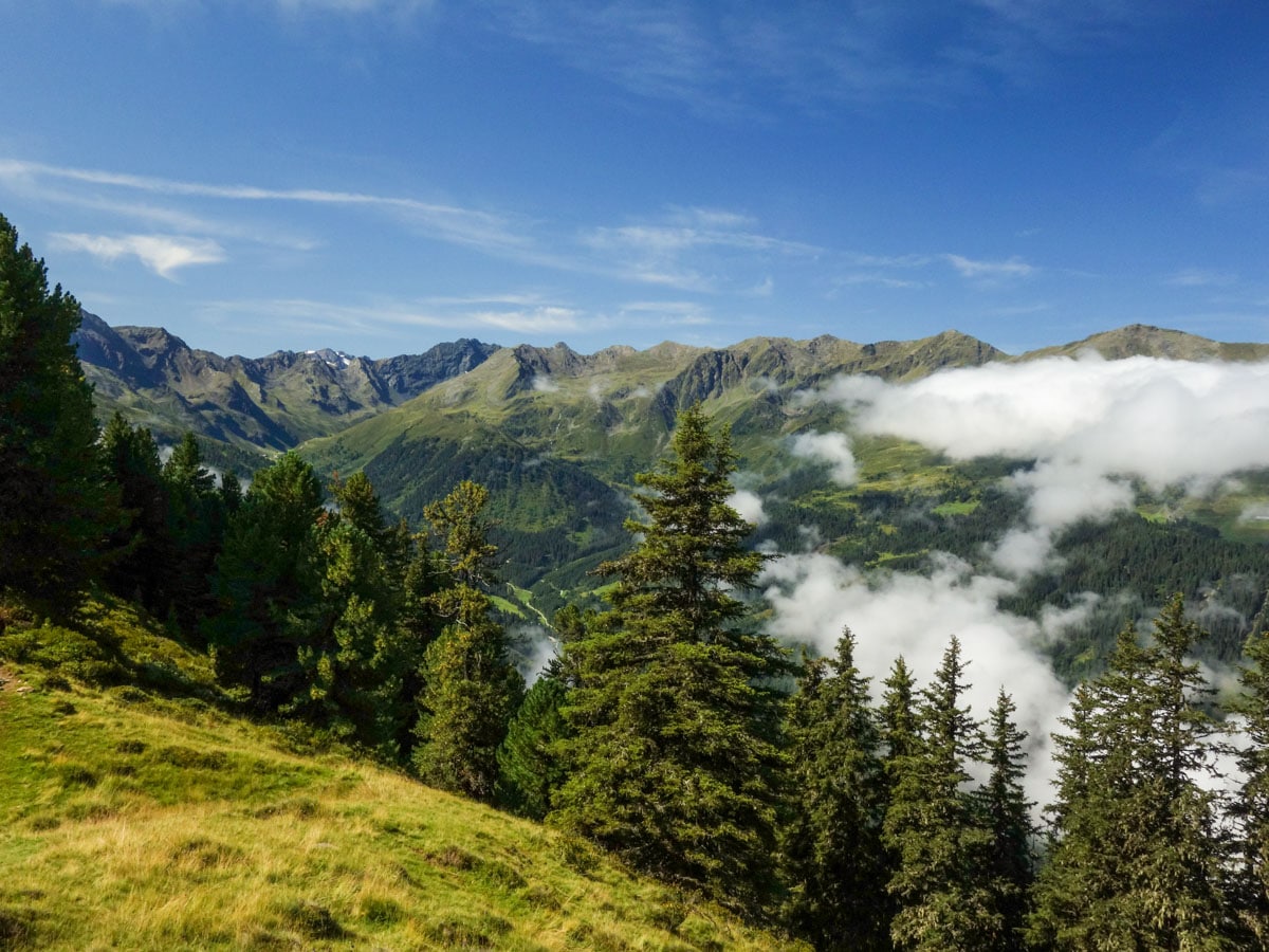
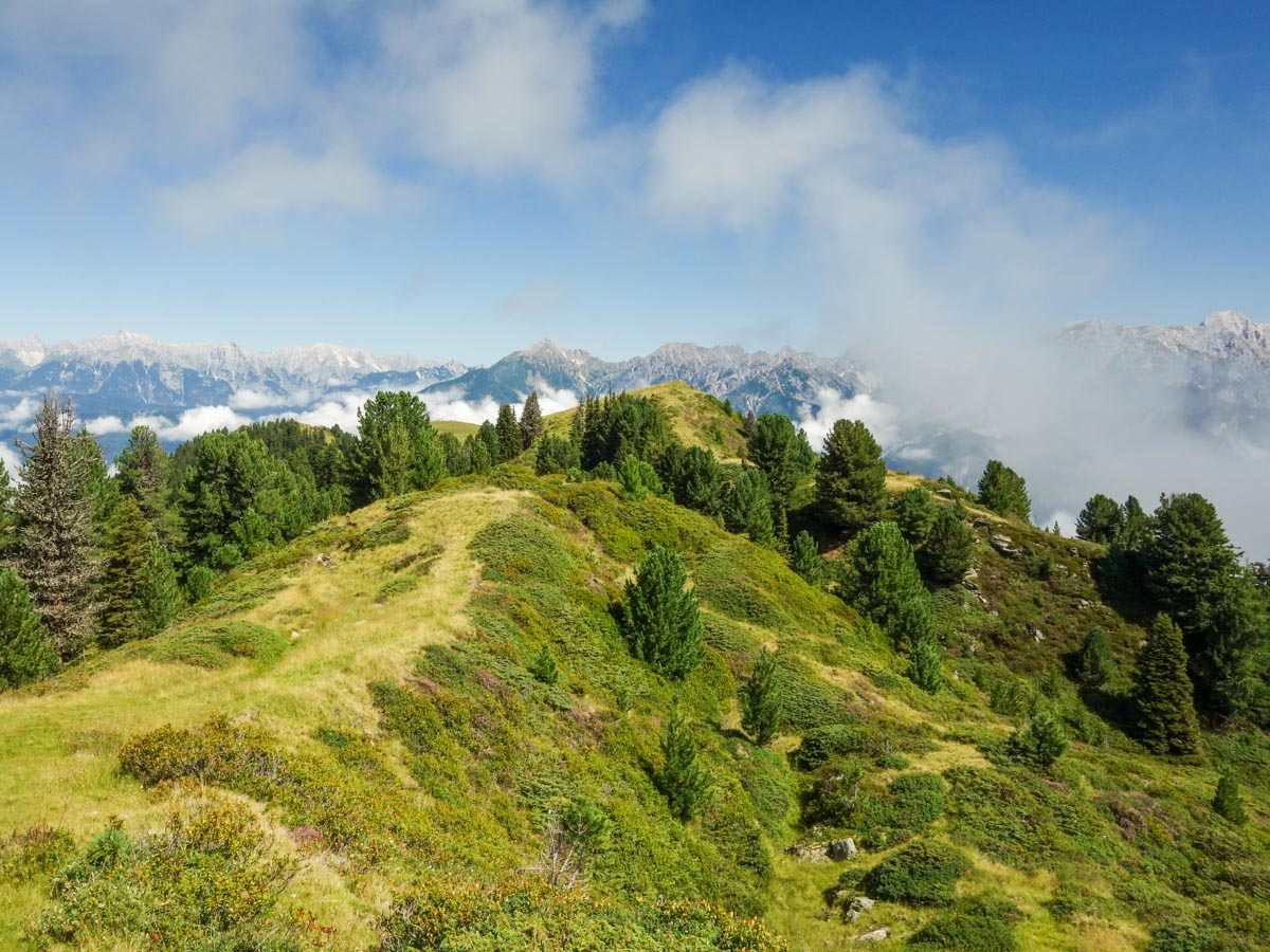
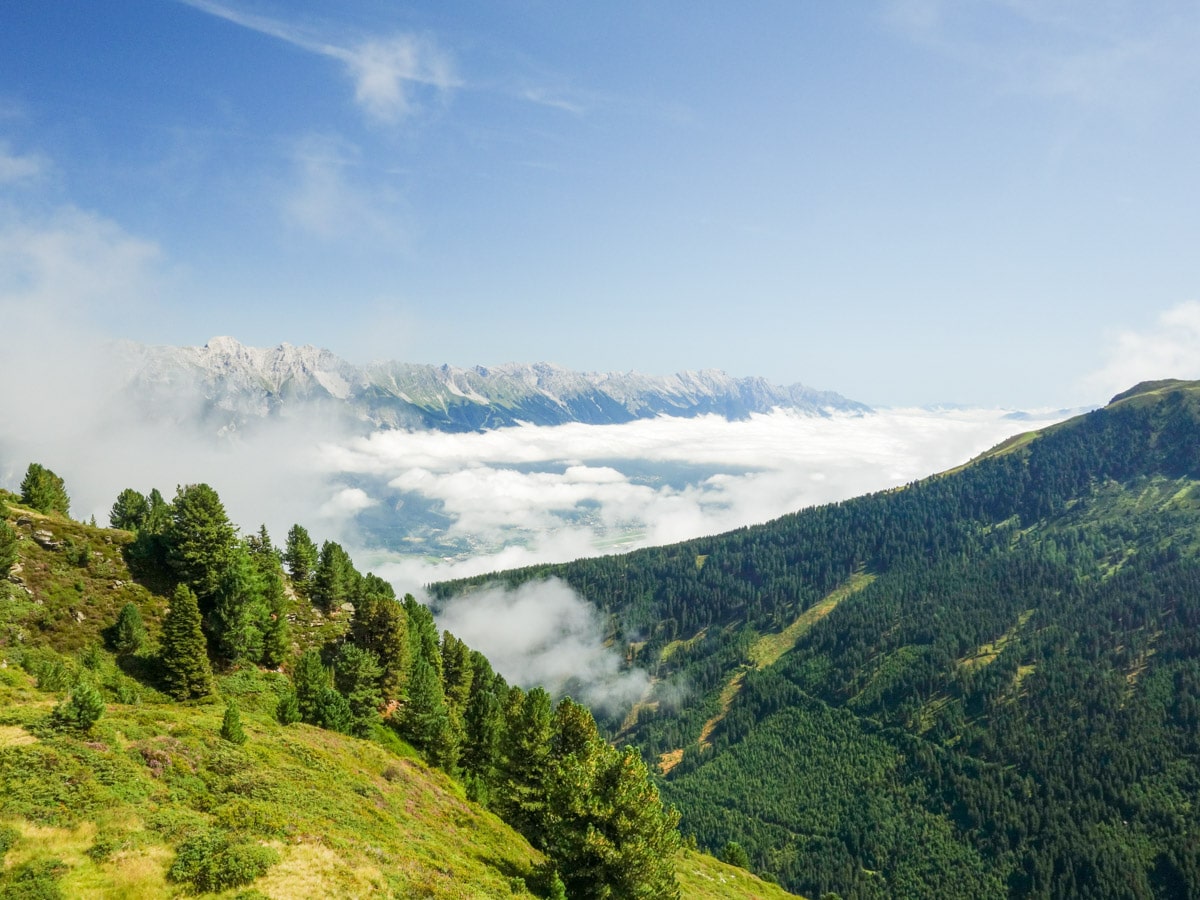
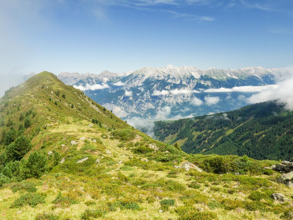
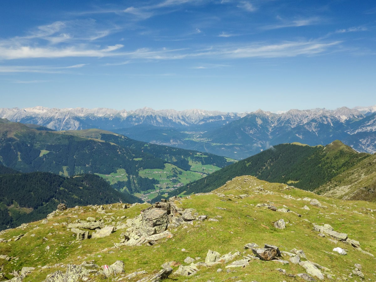
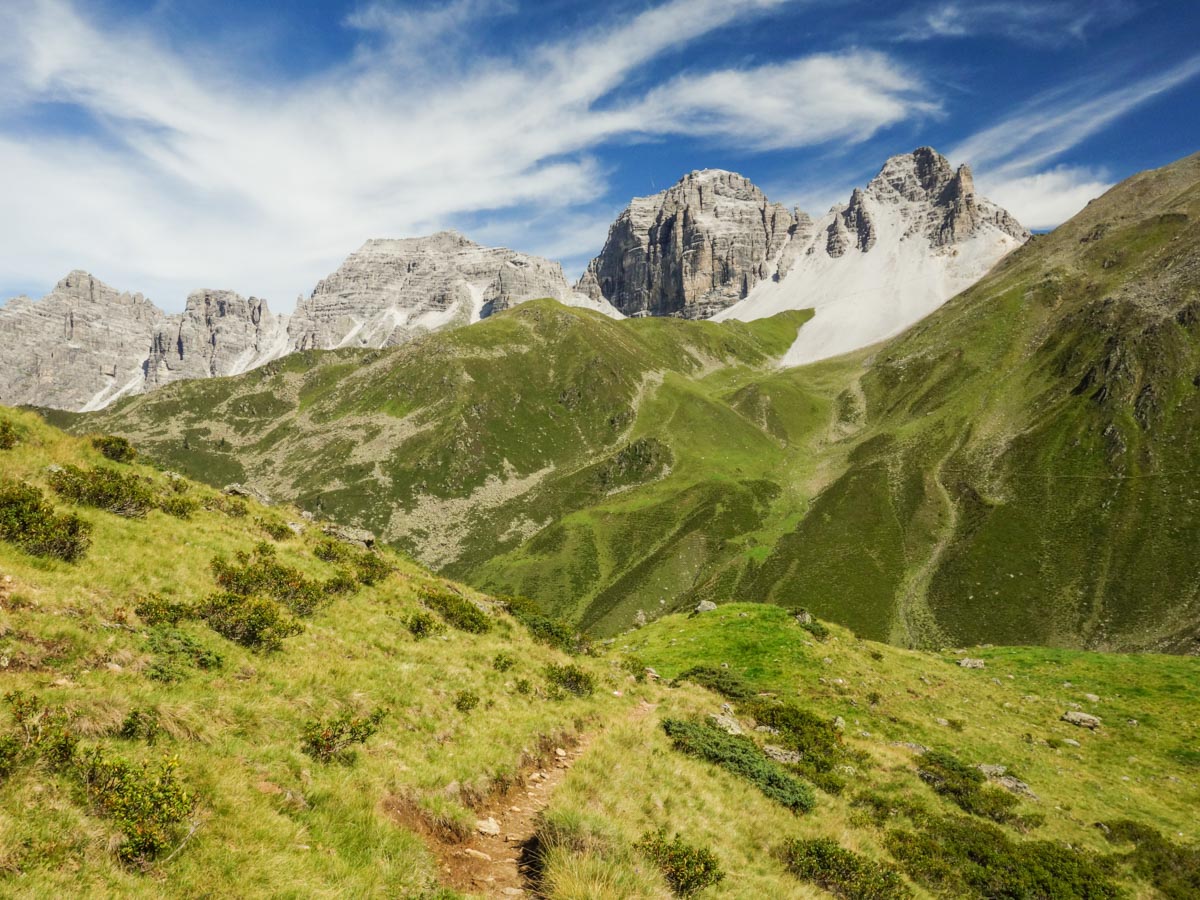
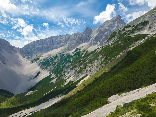
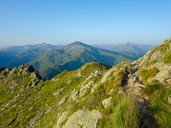
In the middle of the meadow you will find a yellow signpost. At this junction go left and follow the trail to Schaflegerkogel. Here, you will hike along the mountain ridge and be enveloped by beautiful views of the surrounding area.You can see into the Stubai Alps to your right and back to the Nordkette as well. You can see Kemater Alm in the valley to your left. You will climb four successive peaks as the trail goes up and down.
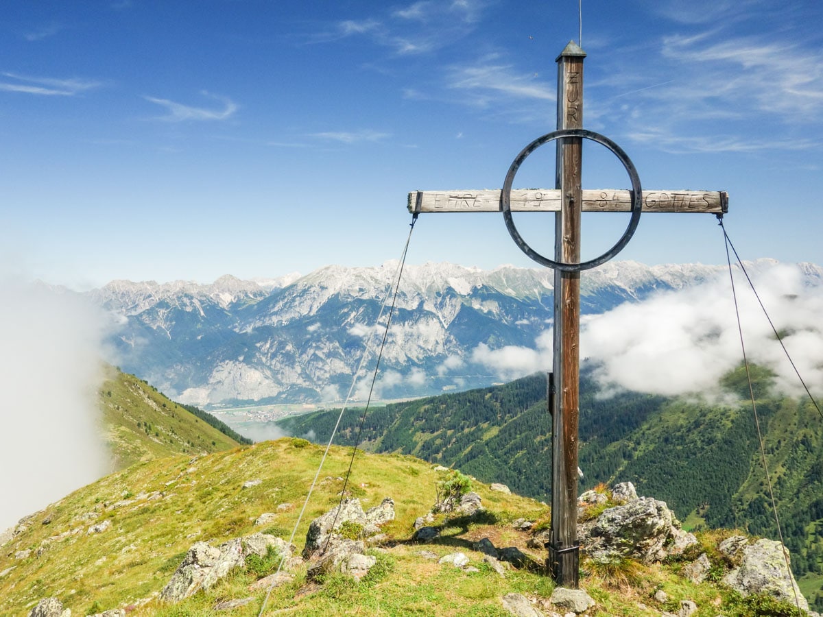
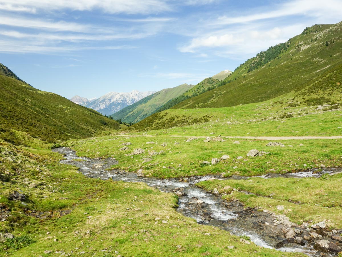
The fourth, and highest, peak is called the Schaflegerkogel. From here you’ll continue on the trail as it descends into the valley. After descending for about ten minutes, you will reach a junction where you go left to Kemater Alm. Soon after this junction, there is a little stream where you can fill up your water. Many locals just fill their water straight from the stream, but we always recommend having some way to filter unknown water sources.
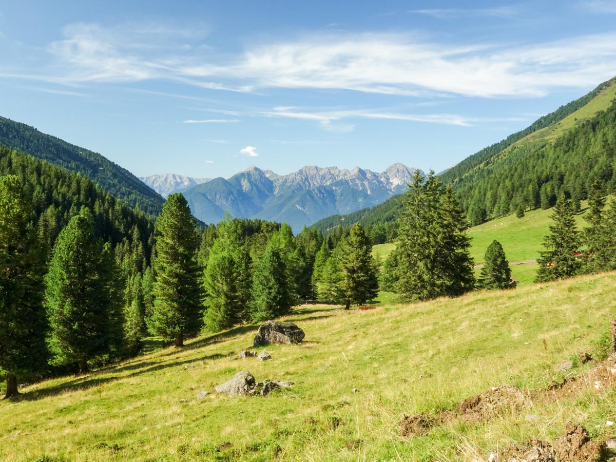
After about 45 minutes, you will cross a little bridge at the valley’s bottom. After the bridge, turn left and continue on the forest road downhill. After 45 minutes you will reach Kemater Alm. You can buy some beverages and enjoy the nice atmosphere.
Continue on the trail and walk through the big meadow right in front of Kemater Alm. Follow the trail downhill until you see the parking lot to your left (about 30 minutes).
Trail highlights
Schaflegerkogel
Standing at a height of 7877ft, Schaflegerkogel is one of just under 500 rugged mountain peaks that can be found in the Stubai Alps of eastern Austria. While the summit isn’t the tallest or most prominent in the area, it is easily accessible by trail and provides some spectacular views of the region.
Find other spectacular hikes in Innsbruck:
Insider Hints
Start this hike early in the morning. The "Inntal" and Innsbruck will probably still be covered with fog, which will slowly rise. Be prepared for some amazing views!
You'll have the best views from the third peak, so it is probably a good idea to have an extended break here and enjoy the amazing vistas.
Bring enough water as there is no water along the ridgeline!

Similar hikes to the Schaflegerkogel Loop Hike hike
Halltal Hike
Halltal is a long and strenuous hike. This typical Austrian walk takes hikers along an amazing, panoramic trail, eventually leading…
Goetheweg Hike
The Goetheweg Hike is a scenic route that offers some of the best aerial views of Innsbruck. The trail walks…
Kellerjoch Loop Hike
The Kellerjoch Loop is a relatively easy Innsbruck hike that takes you through lush green meadows to the peak of…
Udo Huber 5 years ago
Best to start early morning to reach the thrid peak's stunning scenery.
Cloudhigh 5 years ago
A fantastic way to discover Austrian nature
Kamil Blajak 5 years ago
Wonderful town and amazing hiking
TutiDulce 5 years ago
moderate hike, great views along the loop and we loved it and will do it again soon
Alexis Schweitzer 5 years ago
Well worth going to the top and the blue skies everywhere
Andrea R 5 years ago
Fabulous hike and amazing forest
Jamie Parker 6 years ago
Beautiful sscenery in the valley. Bring enough water because there are no shops around the area.
Axel Ross 6 years ago
The trail is nice and fun. Easy with a rewarding scenery at the end.
Edmund D. 6 years ago
The wild valleys were breathtaking! This hike is a great discovery.
Yuyu Kishimoto 6 years ago
Nice hike! I enjoyed every step and every view.