Halltal Hike
View Photos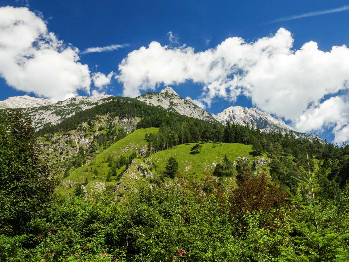
Halltal Hike
Difficulty Rating:
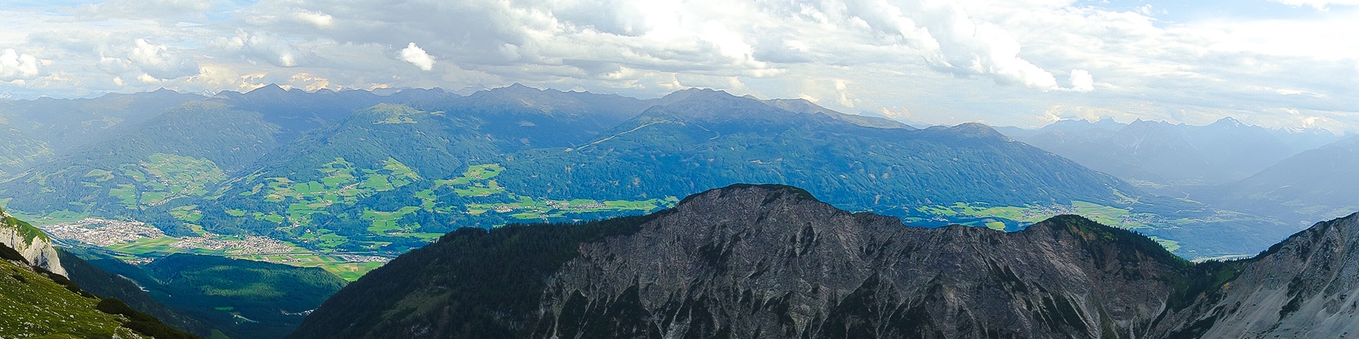
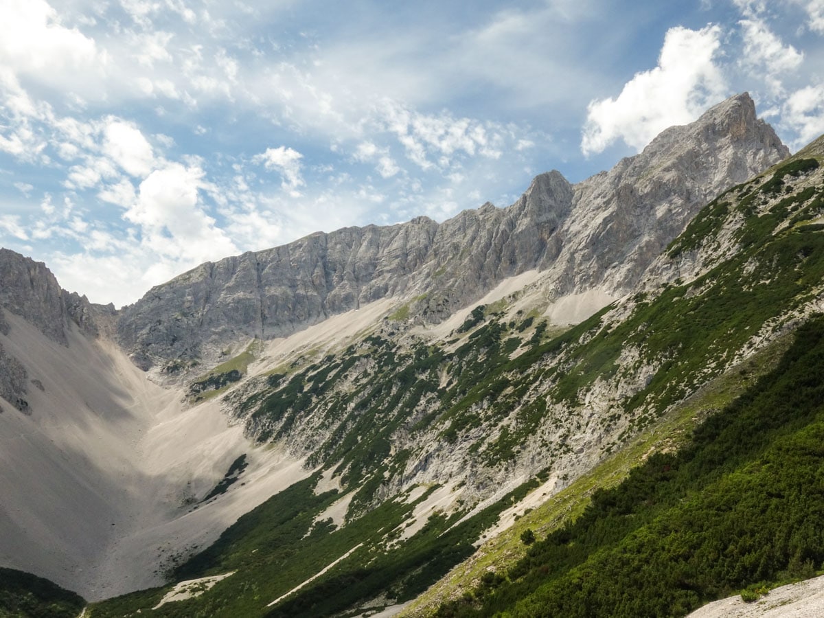
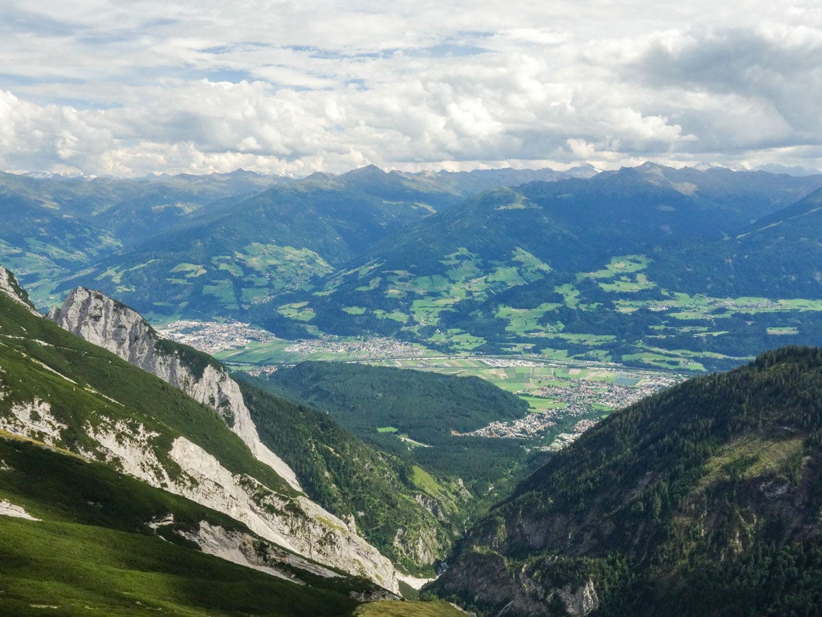
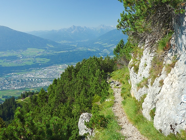
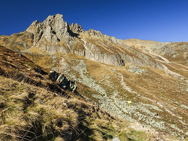
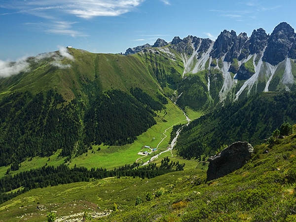
Halltal is a long and strenuous hike. This typical Austrian walk takes hikers along an amazing, panoramic trail, eventually leading to Bettelwurf Hütte, one of the most popular mountain shelters near Innsbruck.
Getting there
Drive to the village of Absam and park your car in the parking lot at the entrance to the Halltal valley.

About
| When to do | June to October |
| Backcountry Campsites | No |
| Toilets | Yes, at Bettelwurfhütte |
| Family friendly | No |
| Route Signage | Average |
| Crowd Levels | Low |
| Route Type | Out and back |
Halltal Hike
Elevation Graph
Weather
Route Description for Halltal Hike
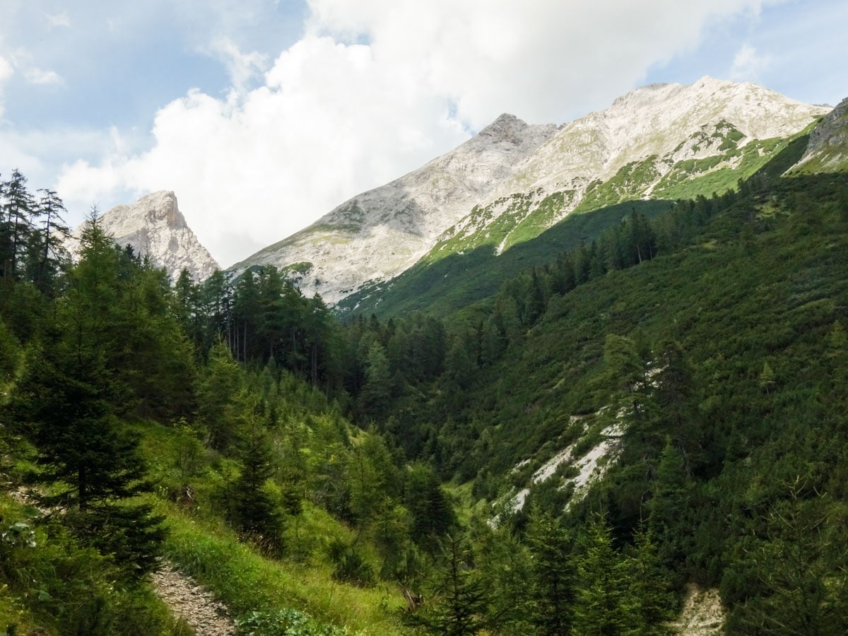
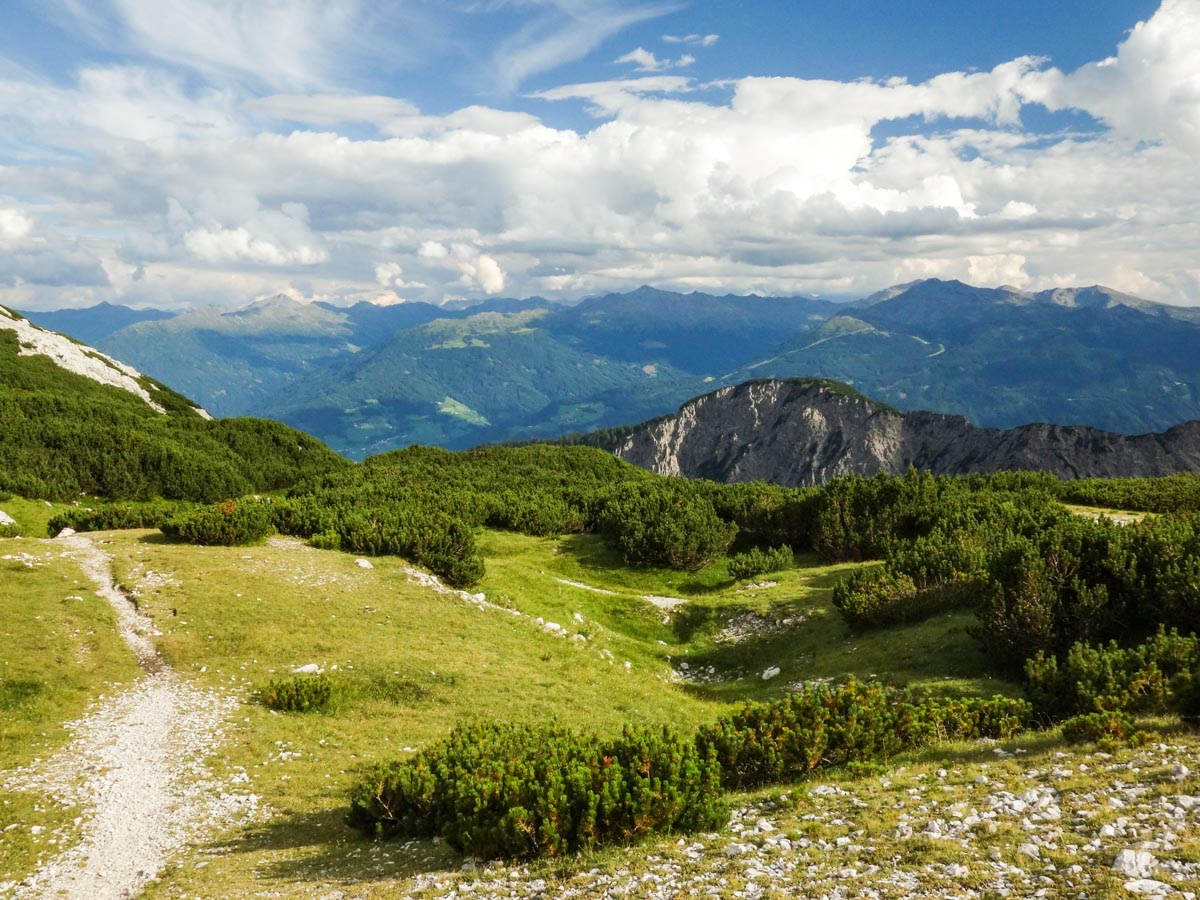
From the parking lot, follow the forest road uphill. After about one hour you will reach a little bridge. Cross the bridge, keeping to the right path. Continue on the trail through a sparse forest. After a little ascent through the forest, you will reach a nice meadow and the trail flattens.
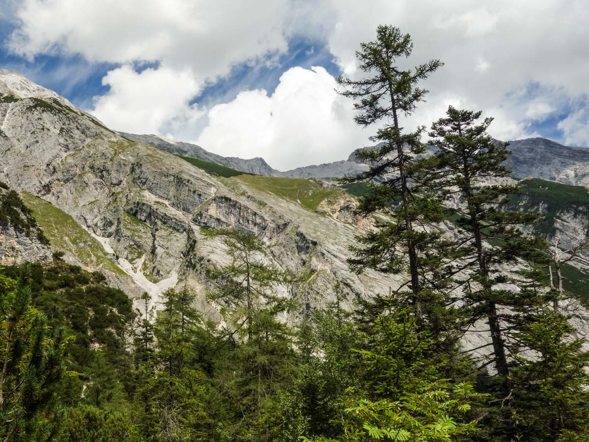
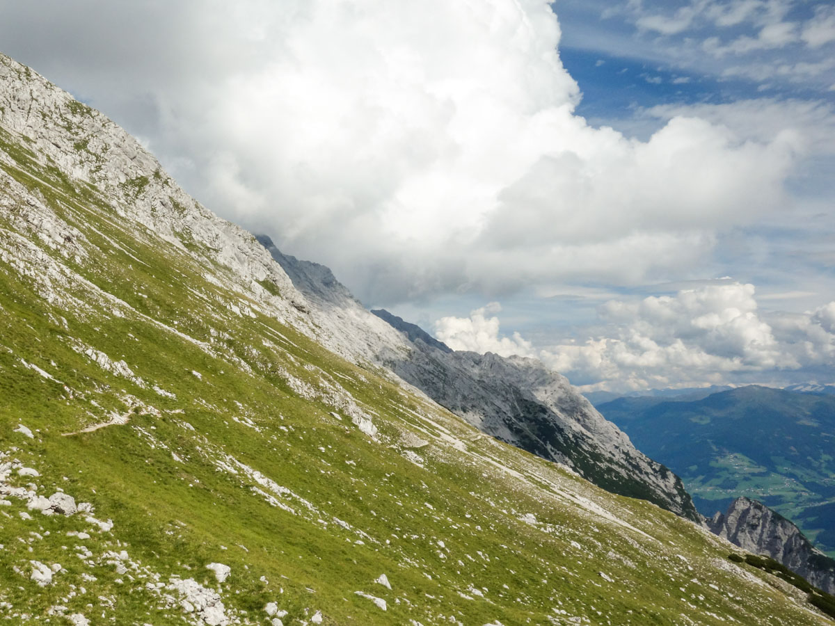
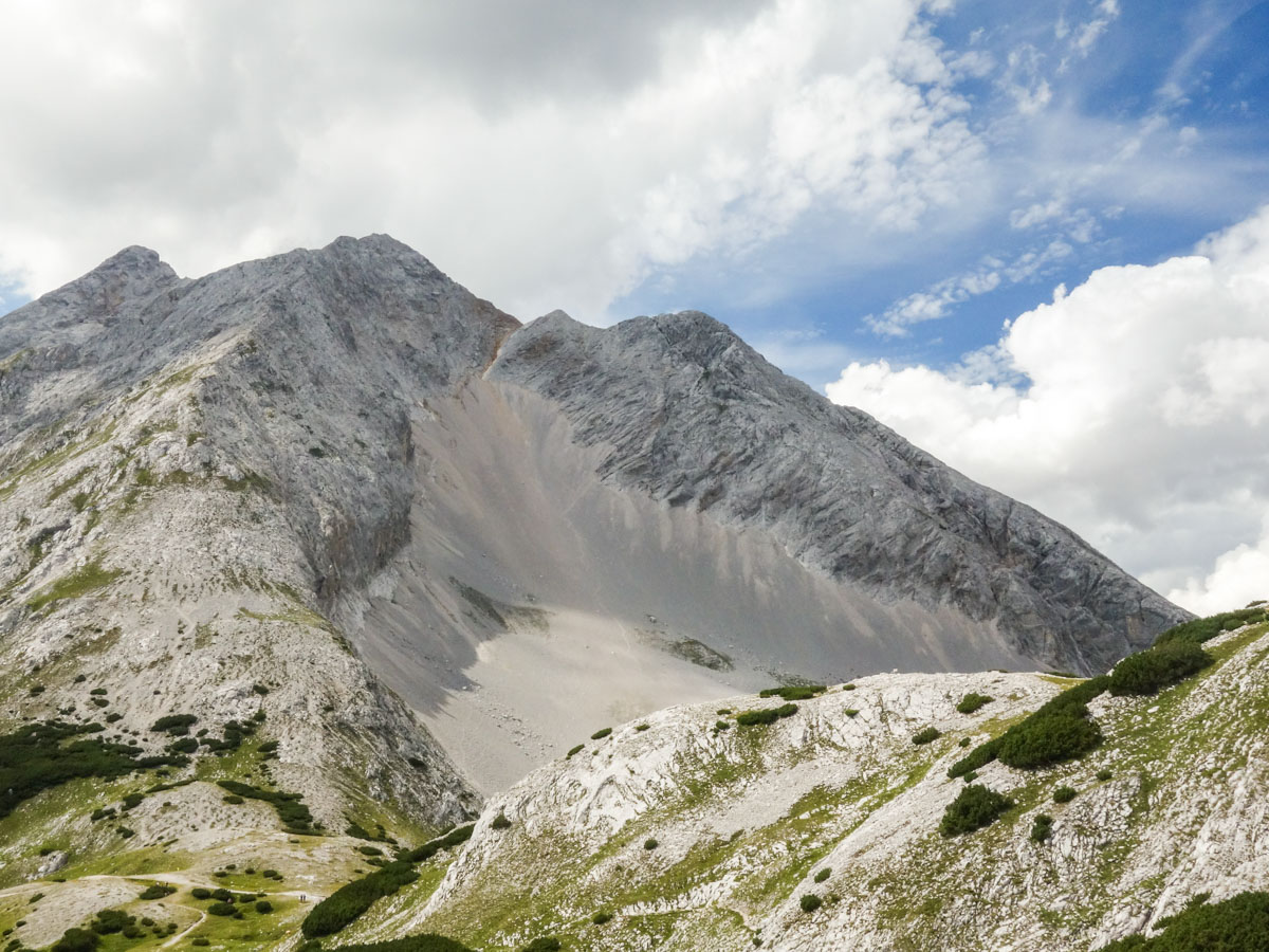
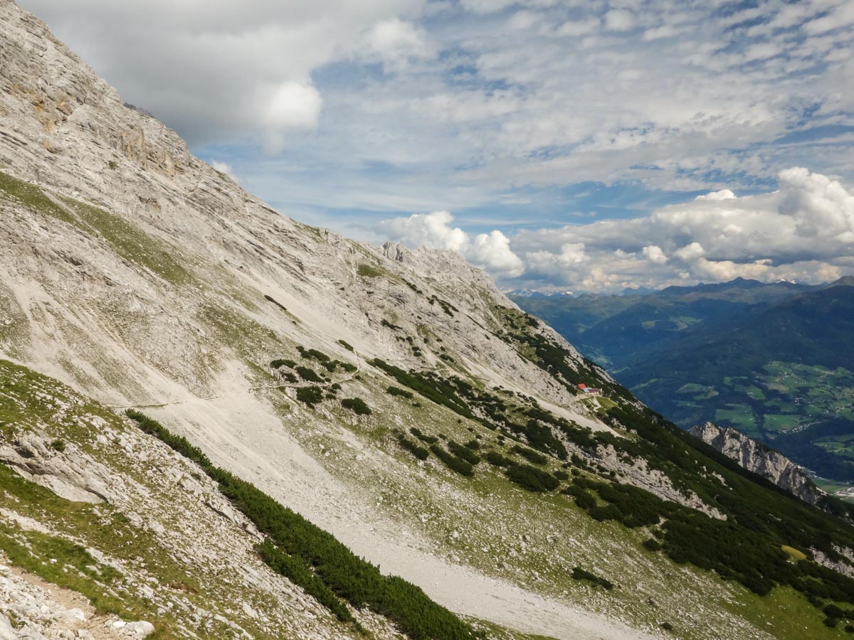
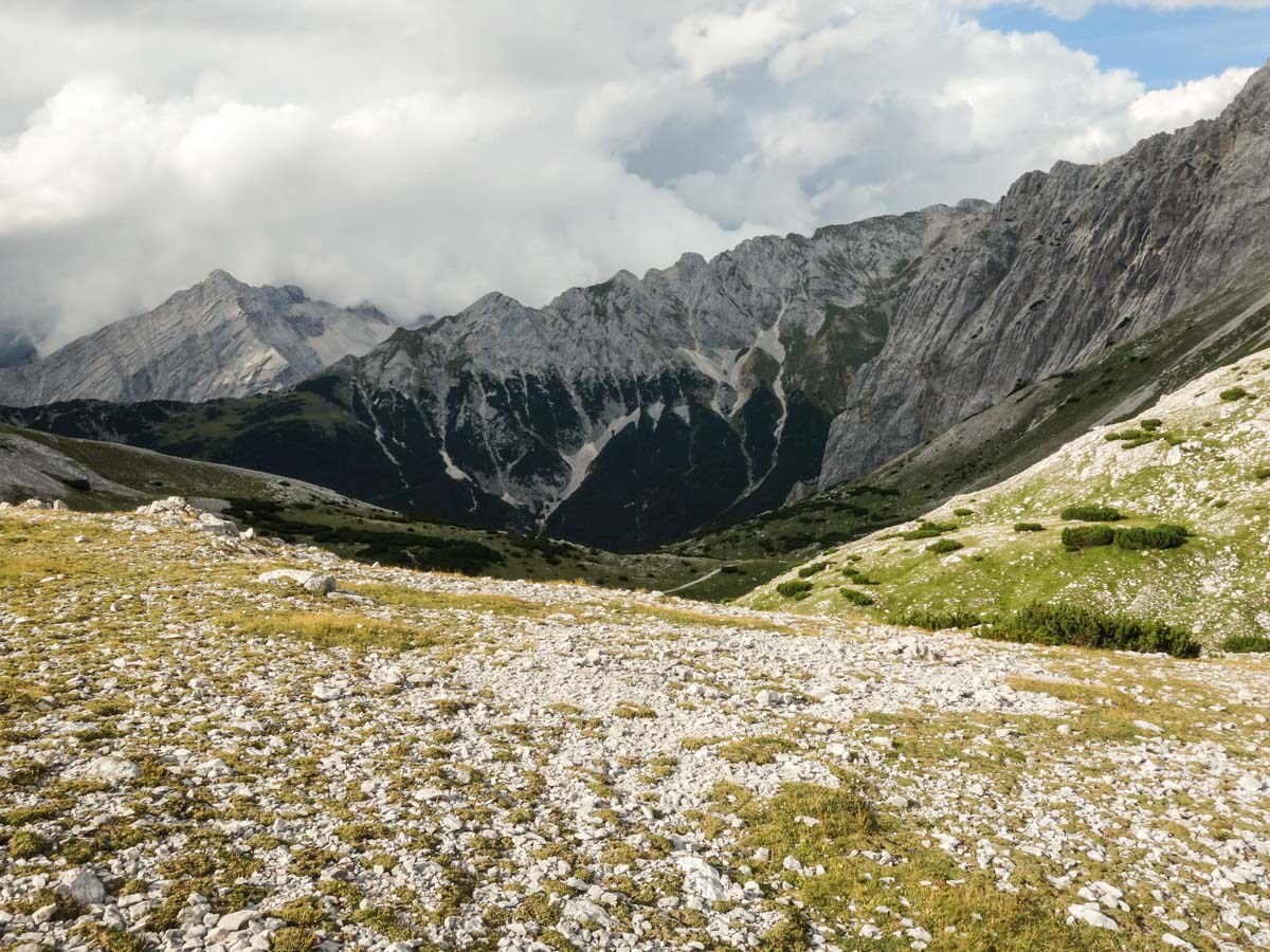
Follow the trail and after crossing the meadow you’ll reach a junction where you go right, following the signs for Lafatscher Joch. You will hike up a broad and stony trail for about 45 minutes until you reach Lafatscher Joch. This is a good time for a break because the view from here is amazing.
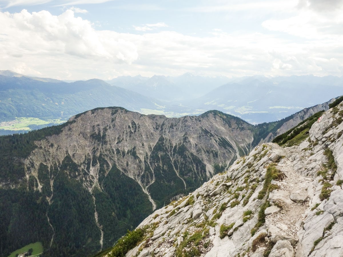
At Lafatscher Joch you will see a big yellow signpost. Follow the trail to the Bettelwurfhütte mountain hut. The trail is not dangerous, but you should be careful because the small stones and gravel can make the trail slippery.
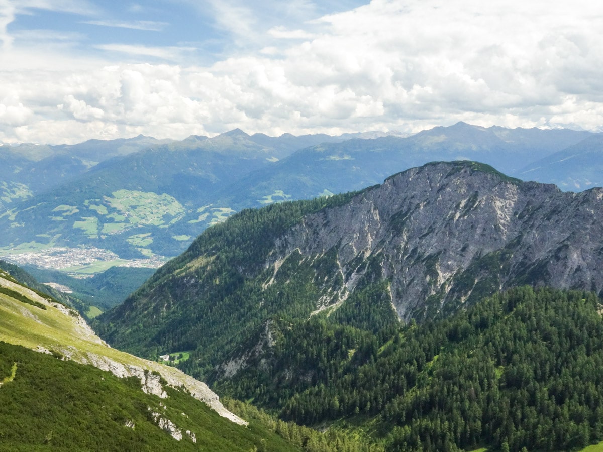
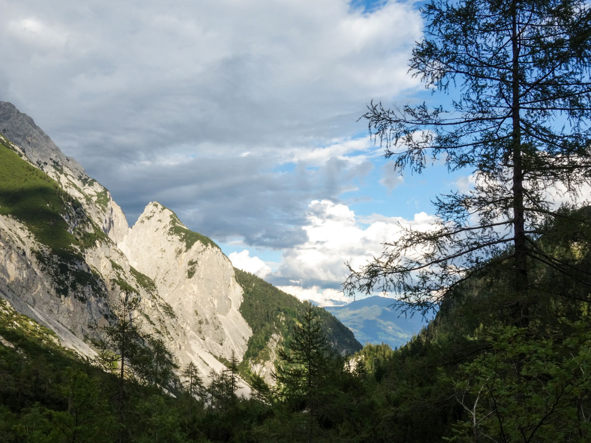
At Bettelwurfhütte you can buy some beverages or have a great meal, all the while enjoying the amazing views of the cities of Hall and Halltal – the valley where you came from. Many guests stay here overnight, opting to explore a bit more and enjoy the sunrise and sunset with fewer people.
Some years ago there was a short trail that took you back to the parking lot from Bettelwurfhütte. When we did this hike in 2017 this trail was closed due to some serious rockslides. You will see the trail continuing from the hut but there is a little white shield there that says in German that this trail is closed and very dangerous. We recently received information that this trail is now open. You can go back this way or else return on the same trail you came in on.
Insider Hints
You could combine this hike with the hike to the peak of Bettelwurf mountain. You will have great views from there; however, you would have to sleep at Bettelwurfhütte and split the whole hike into two days.
From the first bridge you cross until Bettelwurfhütte there is no water! But you can fill up your water at Bettelwurfhütte.
Make sure you try some Austrian specialities at Bettelwurfhütte like Kaiserschmarrn or Knödel. It will make the long hike totally worth it!

Similar hikes to the Halltal Hike hike
Goetheweg Hike
The Goetheweg Hike is a scenic route that offers some of the best aerial views of Innsbruck. The trail walks…
Sellraintaler Höhenweg Hike
Sellraintaler Höhenweg is strenuous day hike with a distinctly Austrian name. The trail takes you through the valley of Sellrain…
Schaflegerkogel Loop Hike
The Schaflegerkogel Loop is an amazing Innsbruck hike. This walk traverses a beautiful ridge to summit four different peaks before…
Jakob F. 5 years ago
High elevation hike in Austria, amazing hiking in the Innsbruck and amazing views
Cloudhigh 5 years ago
Stunning nature and really great experience
Axel Ross 5 years ago
Super happy I did this hike! Tough climb to the peak, but we’ll worth it.
Rixy Lily 6 years ago
It was an exhilarating adventure! Not easy but fun!
Clyde W. 6 years ago
It was a long and arduous trek to see the amazing panoramic views at the top. No wonder why It's one of the most popular mountain shelters near Innsbruck.
blueram81 6 years ago
The trail is not dangerous, but you should be careful because the small stones and gravel can make the trail slippery. Amazing hike and amazing views. Really great experience.
Sandy C. 6 years ago
Nice extensive scenery at the summit. This hike is not for the faint-hearted. Be prepared for the long and hard climb. It was certainly difficult, not advisable for children and people with health problems.
Lowell Hans 6 years ago
Wow! This is a must see! There are mountain shelters that are beautiful to visit.
Issa Deraulo 6 years ago
It's a strenuous hike to a breathtaking panoramic trail! A must-see in Innsbruck!
Lisa B 6 years ago
Another great hike and hutte, I loved the Halltal hike and the Bettelwurfhutte!