
Trails 6, 7, 8, A, and Cave Loop Trail
View Photos
Trails 6, 7, 8, A, and Cave Loop Trail
Difficulty Rating:
Indulge yourself in fantastic views of Lake Coeur d’Alene on the Trails 6, 7, 8, A, and Cave Loop Trail. This well-loved route is shared with mountain bikers and off-roaders alike, so you will likely enjoy company! Conveniently located near the city, this adventure grants the perfect escape into the wilderness.
Getting there
Access this hike from the trailhead and parking lot off N Nettleton Gulch Road.

About
| Backcountry Campground | No |
| When to do | Year-round |
| Pets allowed | Yes - On Leash |
| Family friendly | Older Children only |
| Route Signage | Poor |
| Crowd Levels | High |
| Route Type | Circuit |
Trails 6, 7, 8, A, and Cave Loop Trail
Elevation Graph
Weather
Trails 6, 7, 8, A, and Cave Loop Trail Description
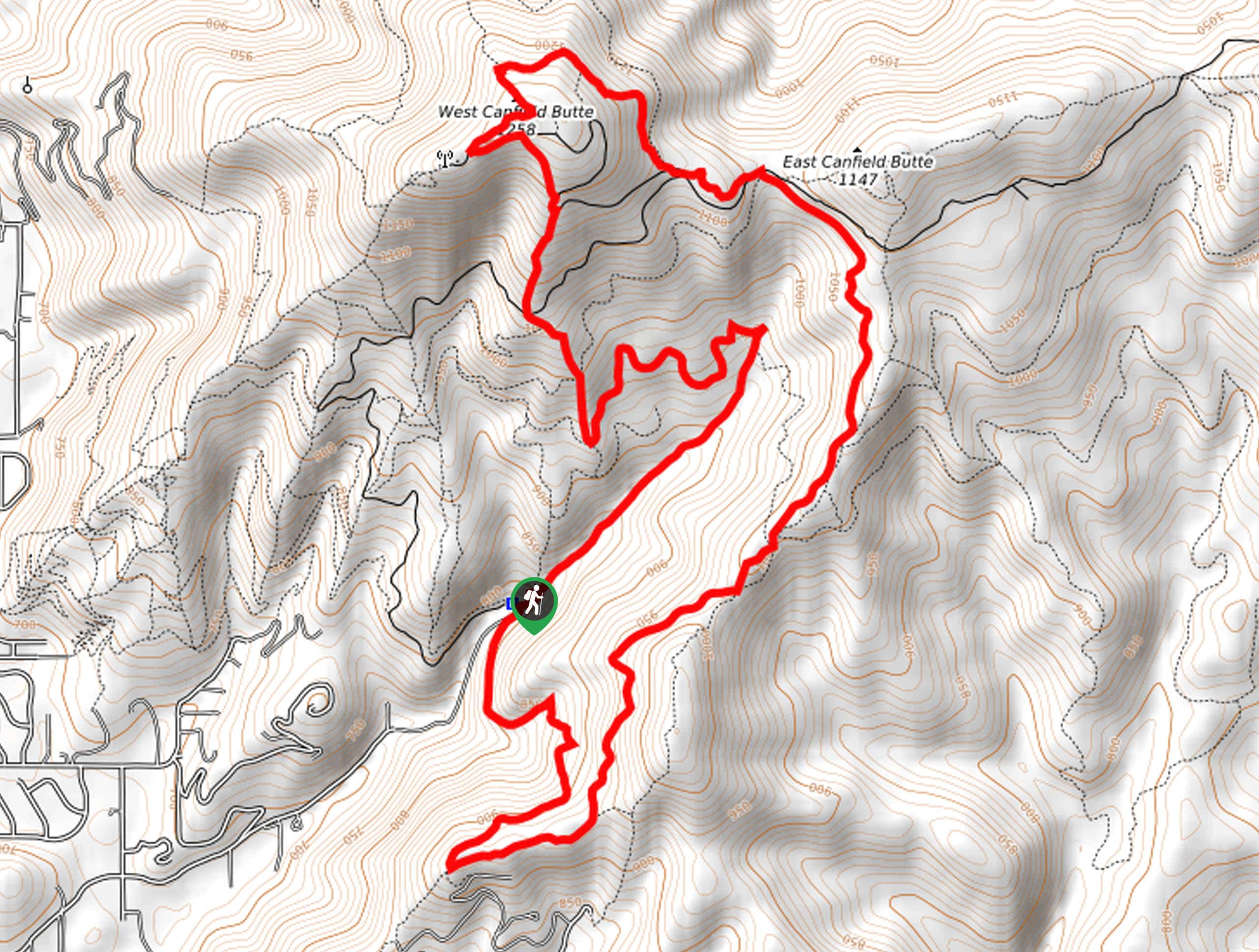
Enjoy the fresh air and reconnect with nature along the Trails 6, 7, 8, A, and Cave Loop. Contrary to its name, there is no cavern along this route. Instead, it got its name from the large impression in the landscape from previous mining activity. Shared with bikers and off-roaders, the terrain is quite rutted and rocky, so be mindful of your footing and be cautious of speedy passers-by! Don’t forget to download the trail GPS; this network of trails is not well signposted. Note early mornings and evenings boast the most tranquil experience if that is what you are searching for.
Setting out from the parking lot, your adventure begins by following the Trail 8 Penn Trail into the woodlands. Tracking southwardly, you will begin your gradual climb up to the top of a ridge that exposes great views of the lake below. From here, the Trail 8 Penn Trail will redirect you northwardly along the ridge. After some hiking, you will merge onto Trail 7, which will guide you to the saddle between Canfield Buttes. Here, veer right, and you will be diverted onto Trail D up to the West Canfield Butte.
Using your trail GPS, you will eventually turn left onto the Canfield Loop Road before turning right onto Trail 5. Hike this path down the mountainside before diverting onto Trail A and subsequently onto the Cave Trail. Beyond this point, the Cave Trail will gently descend through the forested valley back to the trailhead.
Similar hikes to the Trails 6, 7, 8, A, and Cave Loop Trail hike
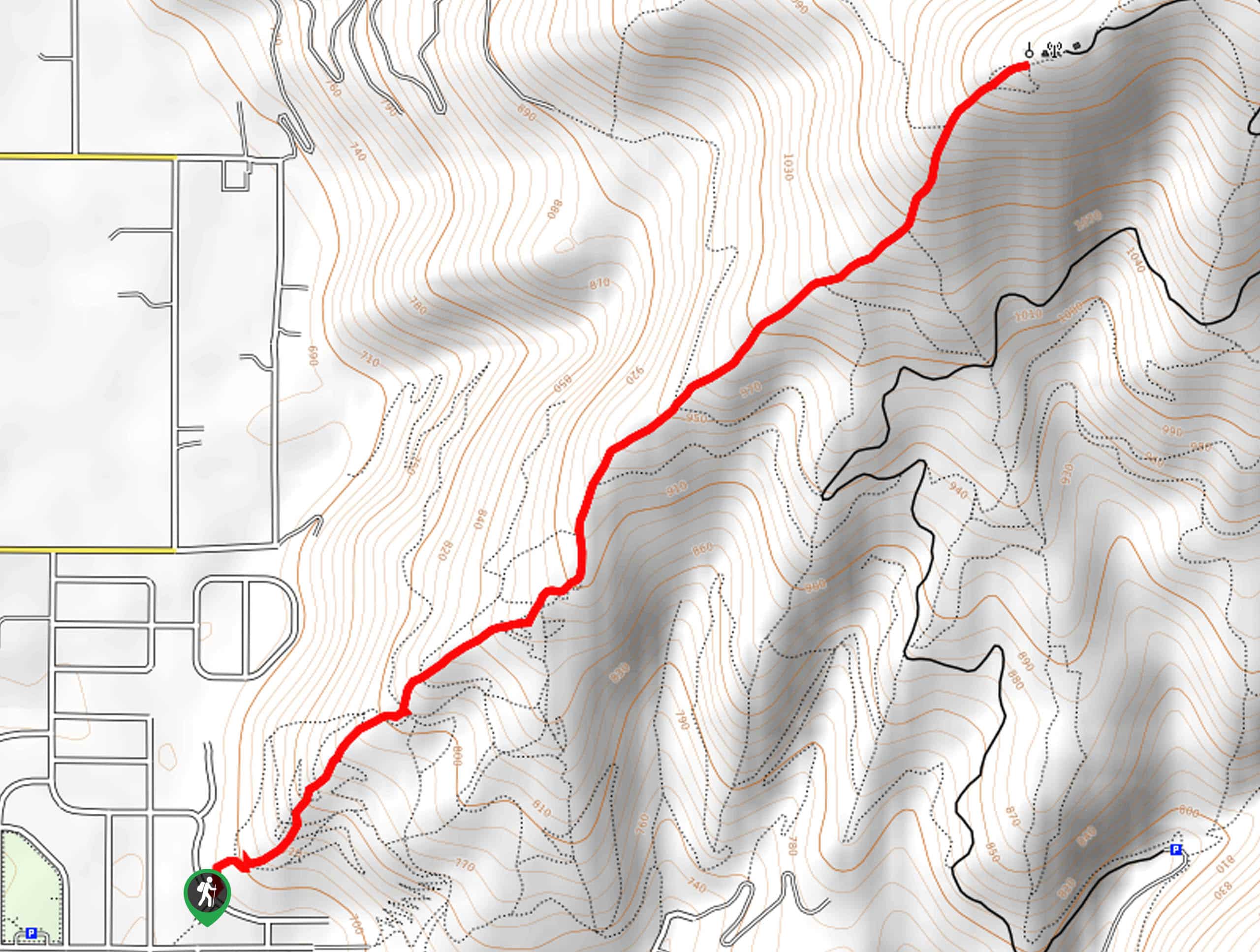
West Canfield Butte Hike
Those seeking a short but rewarding adventure near Coeur d’Alene are encouraged to hike the West Canfield Butte Trail. This…
Marie Creek Trail
Hiking the Marie Creek Trail makes for a pleasant way to spend the day. This beautiful adventure wanders along a…
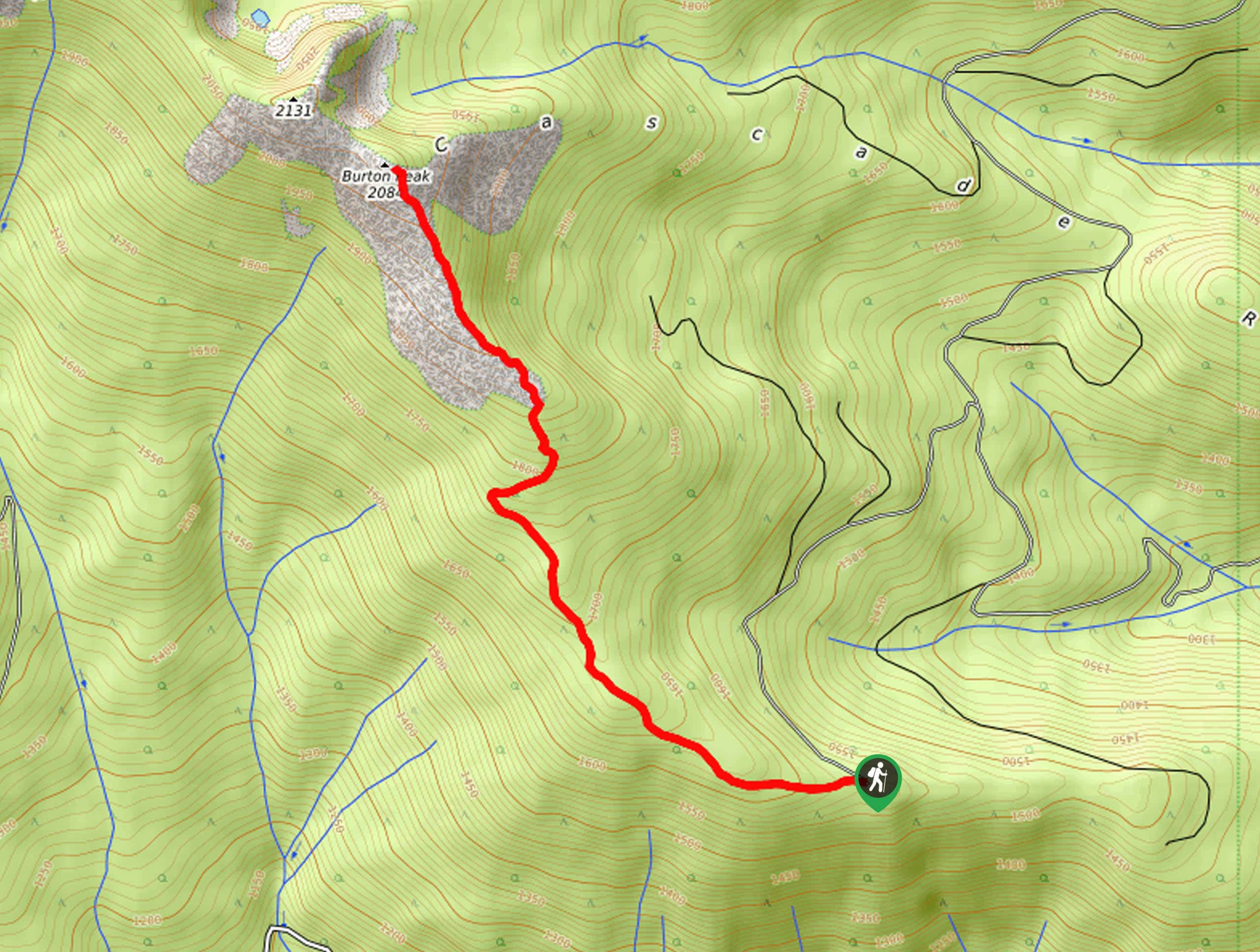
Burton Peak Hike
Explore old-growth forests and lush montane meadows on the Burton Peak Hike. While the adventure demands some stamina, the expansive…
Comments