Marie Creek Trail
View Photos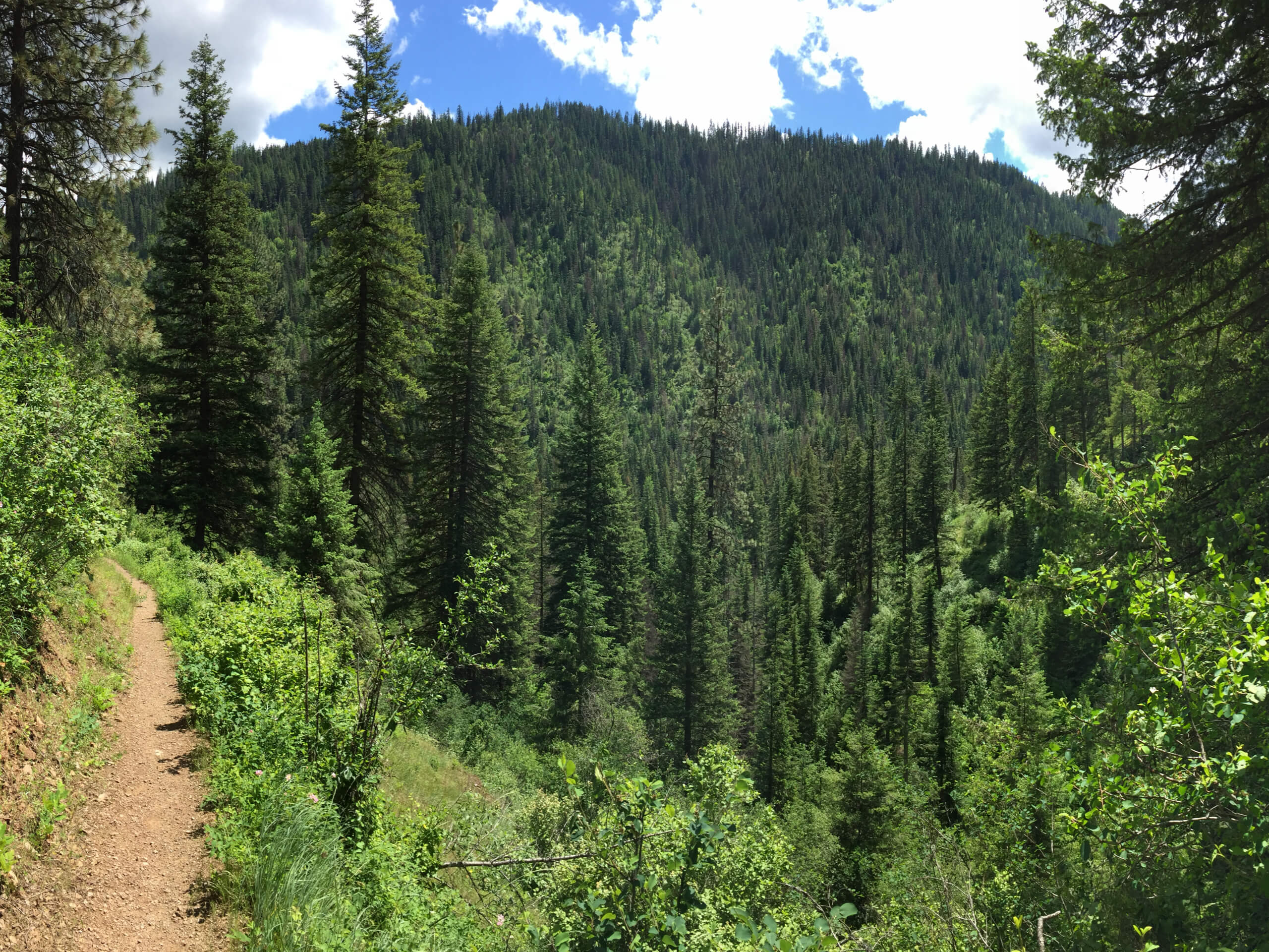
Marie Creek Trail
Difficulty Rating:
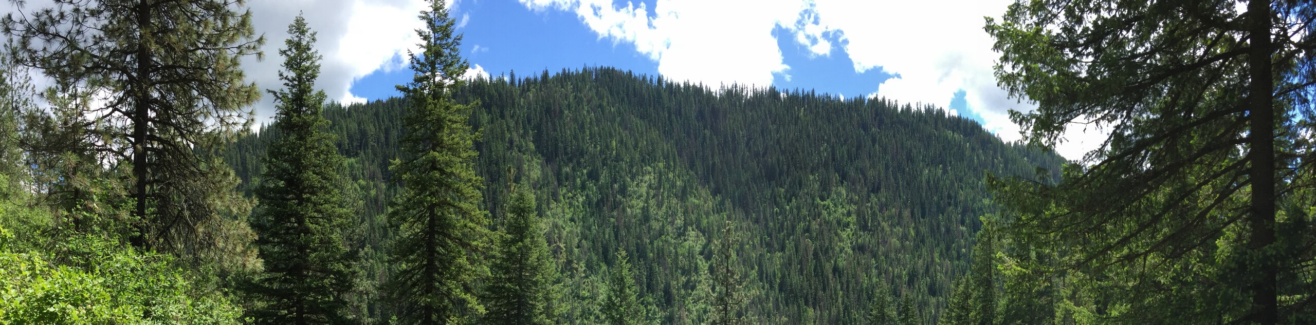
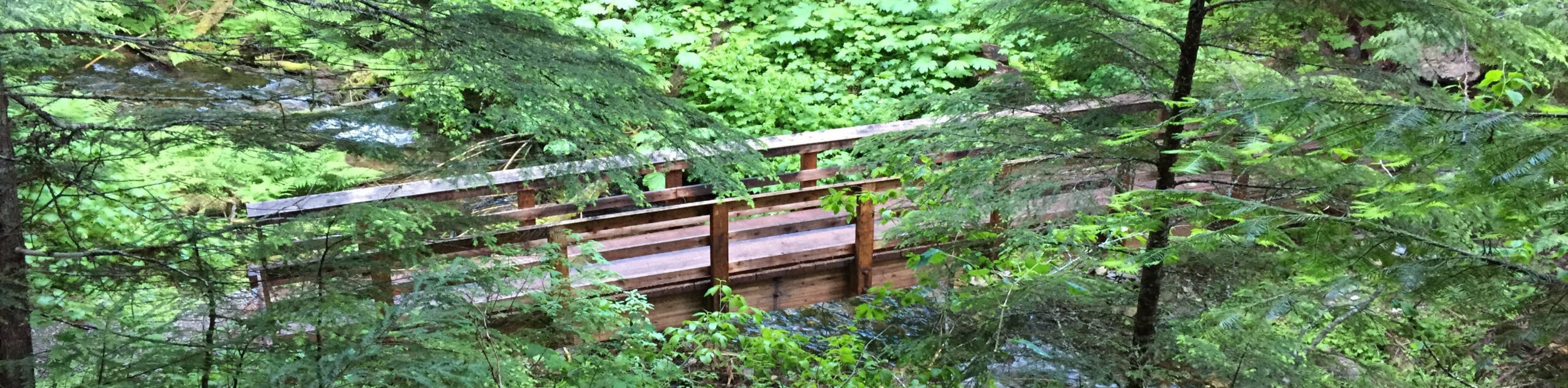
Hiking the Marie Creek Trail makes for a pleasant way to spend the day. This beautiful adventure wanders along a peaceful creek, through lush, moss-cloaked woodlands adorned with wildflowers and mushrooms boasting an enchanting experience.
Getting there
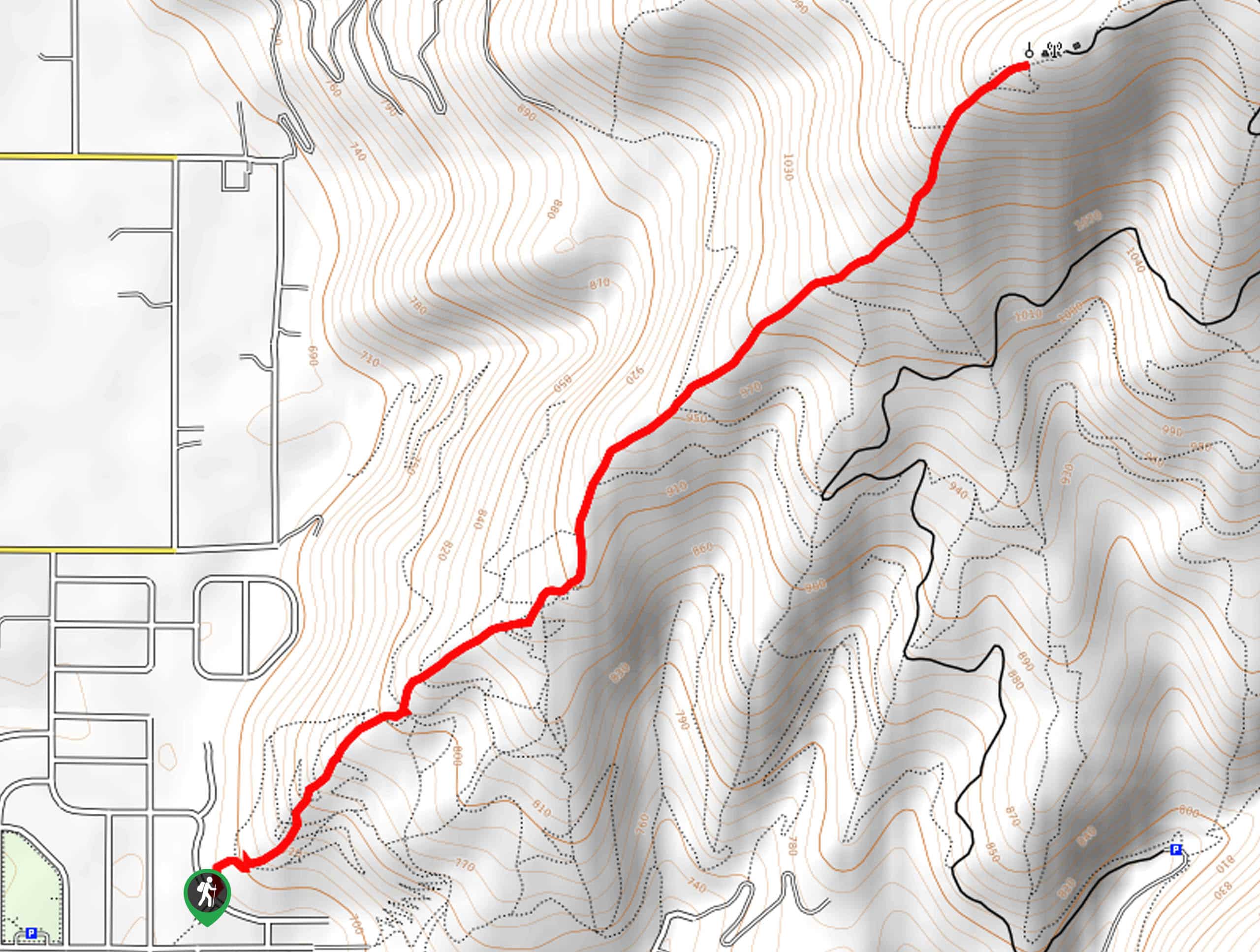
The Marie Creek Trail is accessed from the trailhead off National Forest Development Road 202.

About
| Backcountry Campground | No |
| When to do | Year-round |
| Pets allowed | Yes - On Leash |
| Family friendly | Older Children only |
| Route Signage | Average |
| Crowd Levels | Moderate |
| Route Type | Out and back |
Marie Creek Trail
Elevation Graph
Weather
Marie Creek Trail Description
The Marie Creek Trail offers a peaceful ambiance, perfect for self-reflection and reconnection with nature. While the summer is our favorite season to venture this route, winter exploration is equally as scenic—just strap on a pair of snowshoes! While we dub this adventure tranquil, there are some steep sections that will get your heart racing, so pack plenty of water to stay hydrated. Additionally, it is important to be mindful of wildlife as you wander.
Embark on your adventure along the Marie Creek Hike from the trailhead off National Forest Development Road 202. From here, the Marie Creek Trail will dramatically climb into the woodlands. Mind your footing on the steep, uneven terrain, and after some hiking, the trail will plunge into the forested valley. Now traveling east along Marie Creek, you will be lulled into a state of relaxation by the sounds of the gurgling water. Eventually, the path will redirect you southward, guiding you to an intersection; keep right here.
Beyond this point, the forested path will climb towards Copper Mountain. Enjoy the beauty of the luxuriant landscape, and you will soon reach the trail’s end. From here, turn around and retrace your footing along the path back to the trailhead.
Similar hikes to the Marie Creek Trail hike
West Canfield Butte Hike
Those seeking a short but rewarding adventure near Coeur d’Alene are encouraged to hike the West Canfield Butte Trail. This…
Burton Peak Hike
Explore old-growth forests and lush montane meadows on the Burton Peak Hike. While the adventure demands some stamina, the expansive…
Coal Creek Trail #41
The Coal Creek Trail #41 is a gorgeous adventure ideal for intermediate hikers and families with older children. Explore the…
Comments