

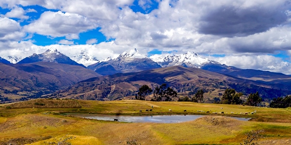
Wilcacocha Viewpoint hike
View PhotosWilcacocha Viewpoint hike
Difficulty Rating:
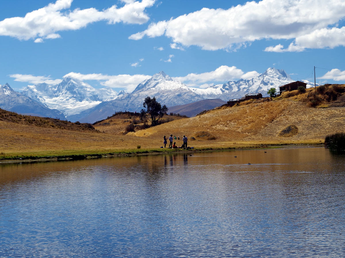
The Wilcacocha Viewpoint hike perfectly embodies the term "short but sweet." Not only does it grant you the chance to acclimatize to the altitude, but it unveils quintessential Peruvian views without elevating your heart rate too much. You'll travel through Cordillera Negra's foothills until you reach the small lake of Wilcacocha, and from here, you'll meander farther to Huanca, where snow-swept peaks lining Cordillera Blanca will enchant.
Getting there
Hop on your car and pass by the towns of San Pedro and Huamarin before reaching Santa Cruz, where the hike begins.
About
| When to do | All year long |
| Backcountry Campsites | No |
| Family friendly | Yes |
| Route Signage | Poor |
| Crowd Levels | Moderate |
| Route Type | Out and back |
Wilcacocha Viewpoint
Elevation Graph
Weather
Route Description for Wilcacocha Viewpoint
This relatively easy route makes for a wonderful family-friendly activity! The Wilcacocha Viewpoint hike is the perfect way to ease into Peru’s altitude level, especially if you plan on doing harder hikes later on.
You may be under the impression that this hike doesn’t encompass exceptional views due to the short route. Still, it carries you to views of the snow-covered peaks hemming the Cordillera Blanca mountain range and to knockout of a lake: Wilcacocha.
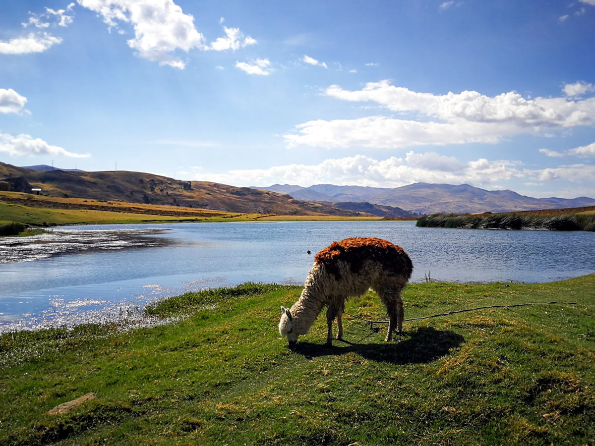
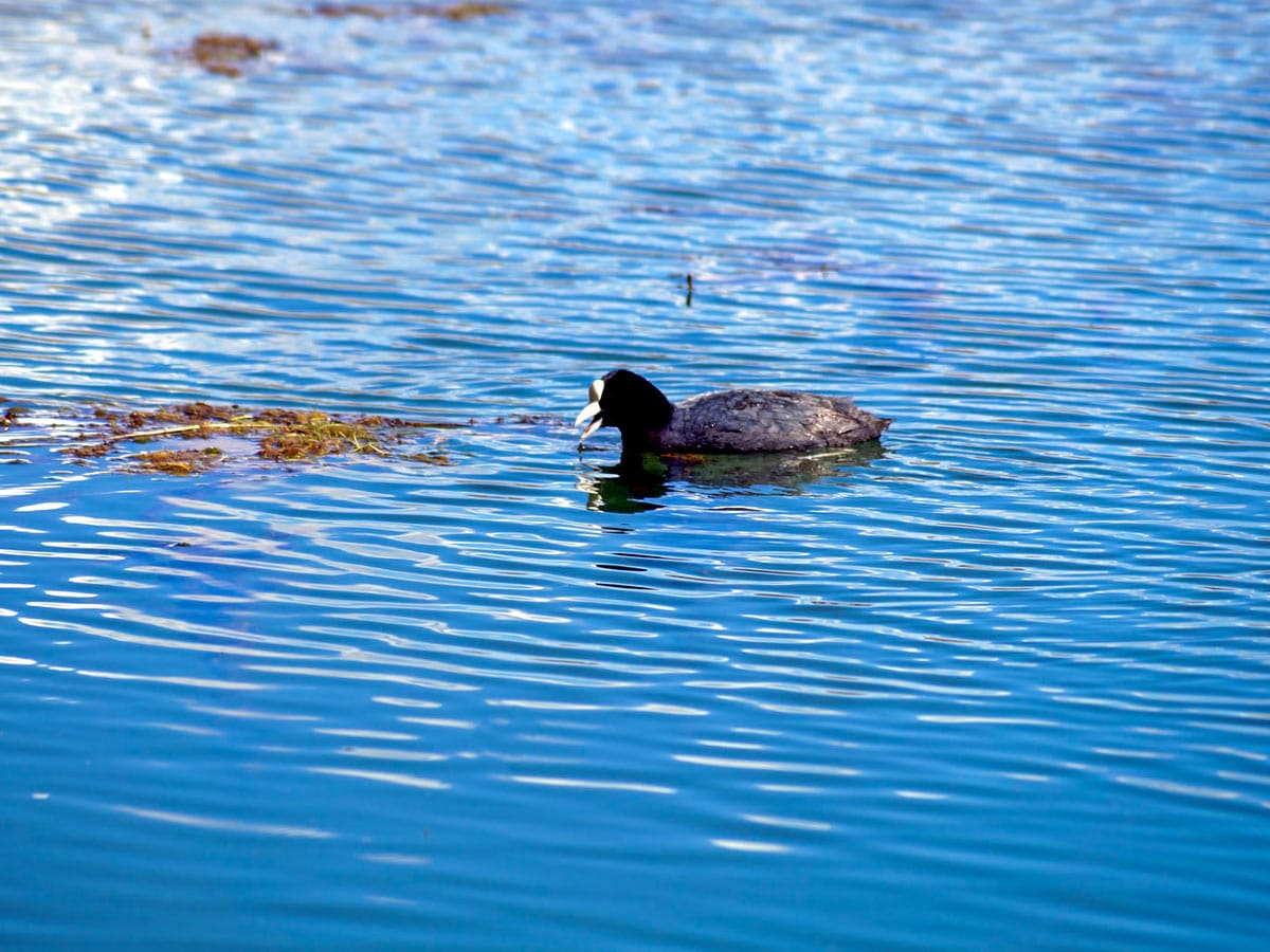
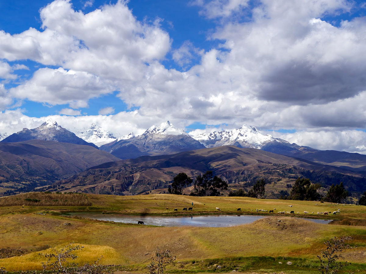
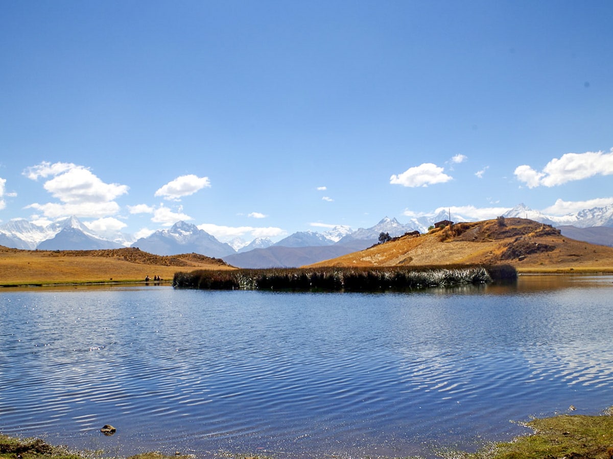
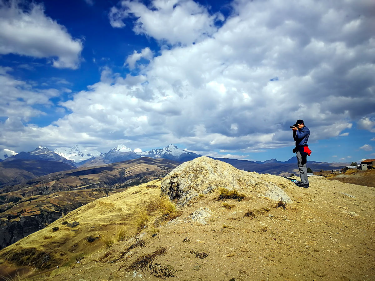
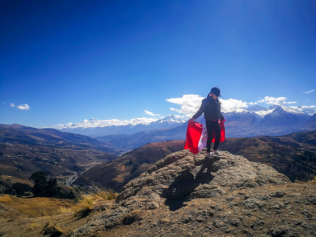
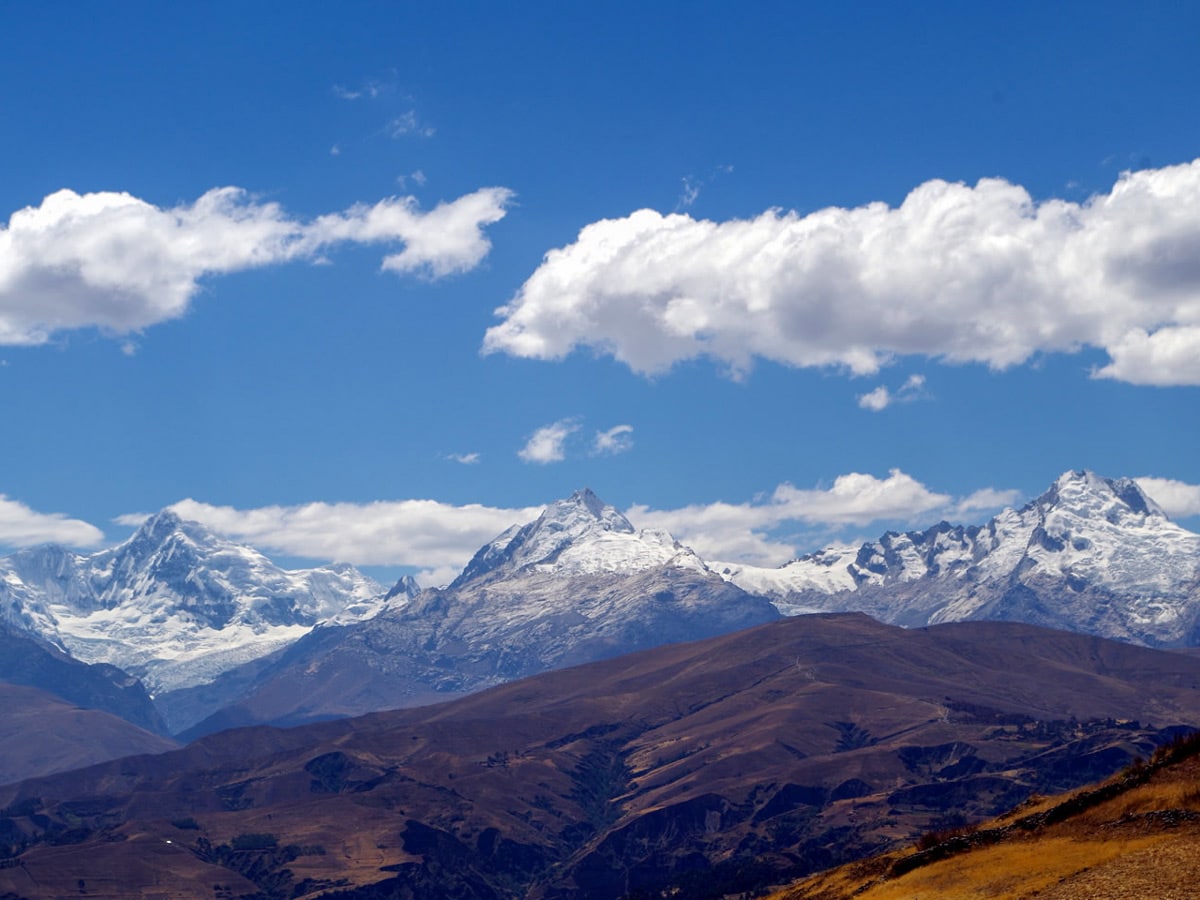
Begin your hike to the Wilcacocha Viewpoint at Santa Cruz, which sits at 11188ft. Walk along a narrow path between typical houses, and corn and wheat fields in the foothills of the Cordillera Negra. After approximately 1 hour, you’ll arrive at the small lake known as Wilcacocha, which sits pretty at 12139ft. Admire the various types of birds spattering this area. If you walk a little farther to the right, you’ll reach a clear viewpoint of the Cordillera Blanca. You’ll even get to see the Huascaran (22205ft)—this is the highest peak in Peru! As well as the Huantsan (20899ft), which is the third highest peak of the Cordillera Blanca. But the hike doesn’t end here!
Ascend for 1 more hour to Huanca, which is located at 12467ft. From here, you can better appreciate the snow-capped peaks sweeping the Cordillera Blanca. Take the same path back to Santa Cruz.
Find even more great hikes in Huaraz:
Insider Hints
Bring food and water from Huaraz since it’s tough to find stops along the way.
You may encounter some stray pups as you hike. It may help to carry hiking poles, which you can use as a defence mechanism if needed as well as for support on the descent.
Wear clothes for cold and heat.
Similar hikes to the Wilcacocha Viewpoint hike
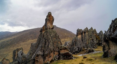
Rock Forest of Hatun Machay
Hike through a collection of whimsical stone figures that have been morphed by time, wind, and glaciers. The route carries…
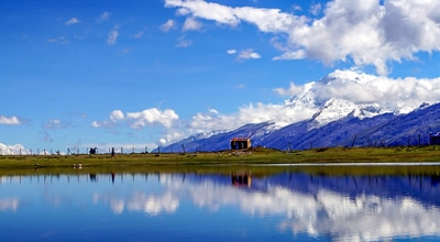
Lake Uruscocha
Travel deep into the forest and farther away from civilization on this relatively off-the-beaten-path. Eventually, you’ll reach the first lake…
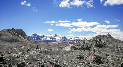
Pastoruri Glacier
The hike to Pastoruri Glacier is one of the most popular day hikes near Huaraz—and for good reason. It’s a…


Andrew E. 6 years ago
There's a myriad of cool viewpoints to explore. This hike is worth doing if you have time.
Rohan E. 6 years ago
this hike is brimming with enourmous natural beauty. a wonderful gem in huaraz.
Jamin Roldan 6 years ago
Guess it was our lucky day! Got to enjoy this hike under a clear blue sky! What an amazing day.