

Rock Forest of Hatun Machay hike
View PhotosRock Forest of Hatun Machay hike
Difficulty Rating:
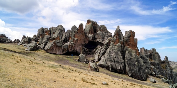
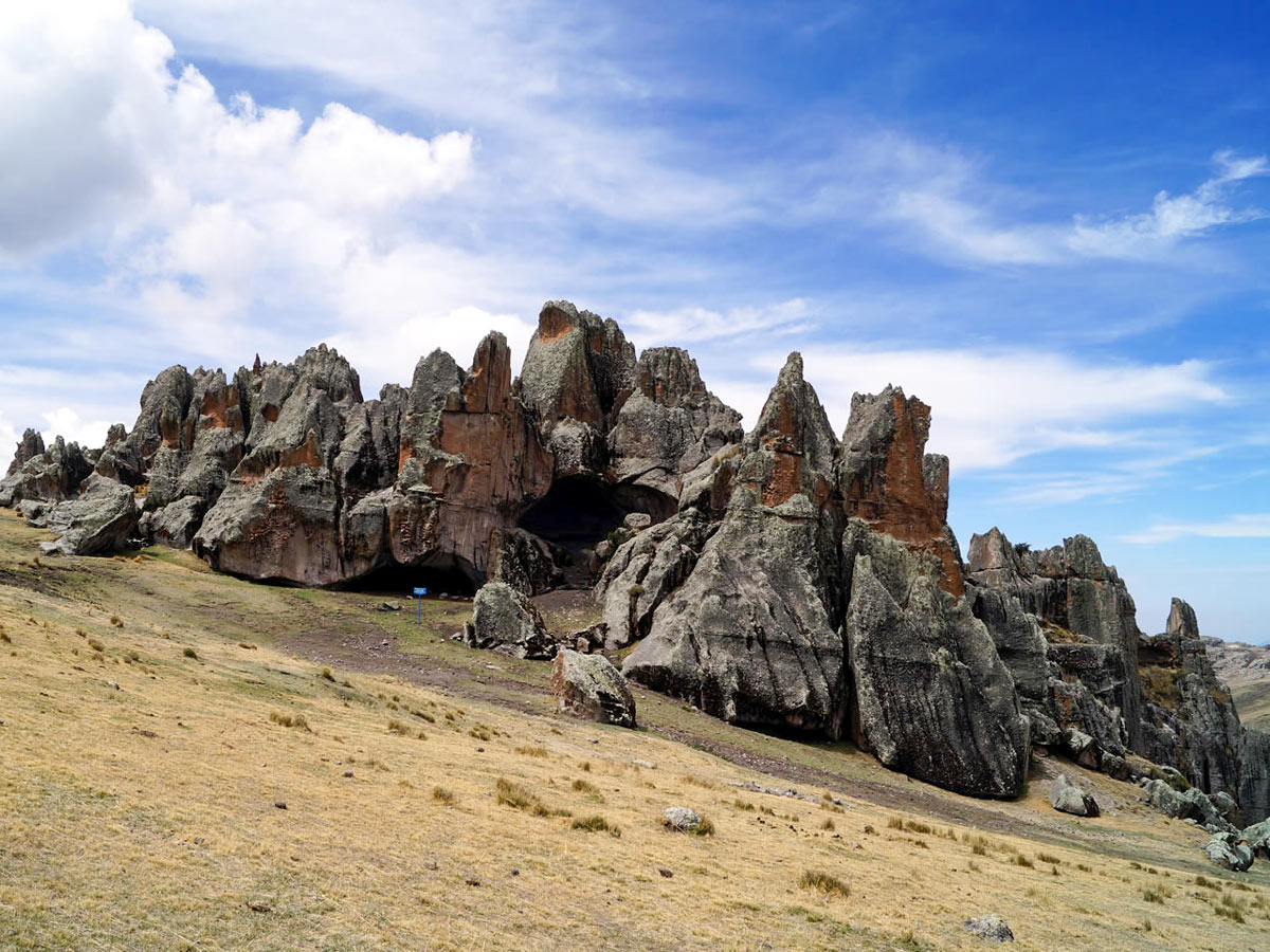
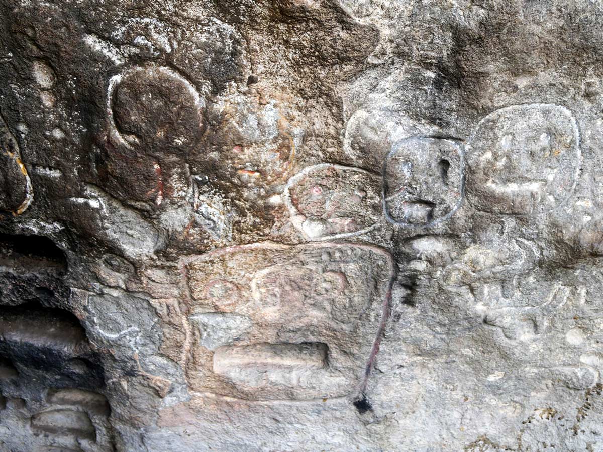
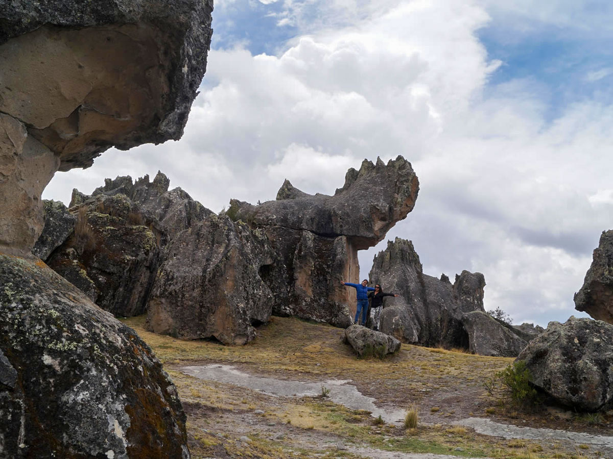
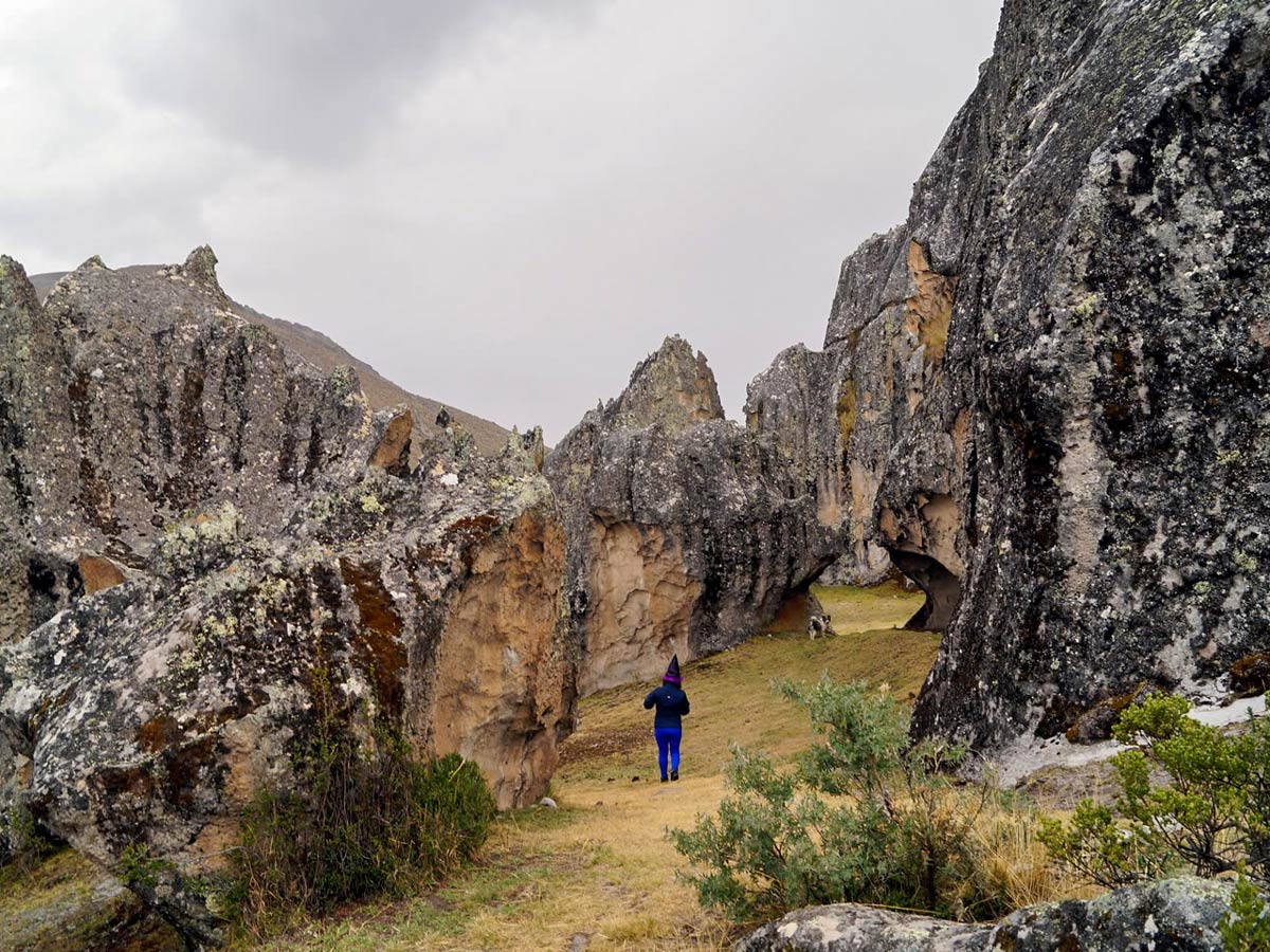
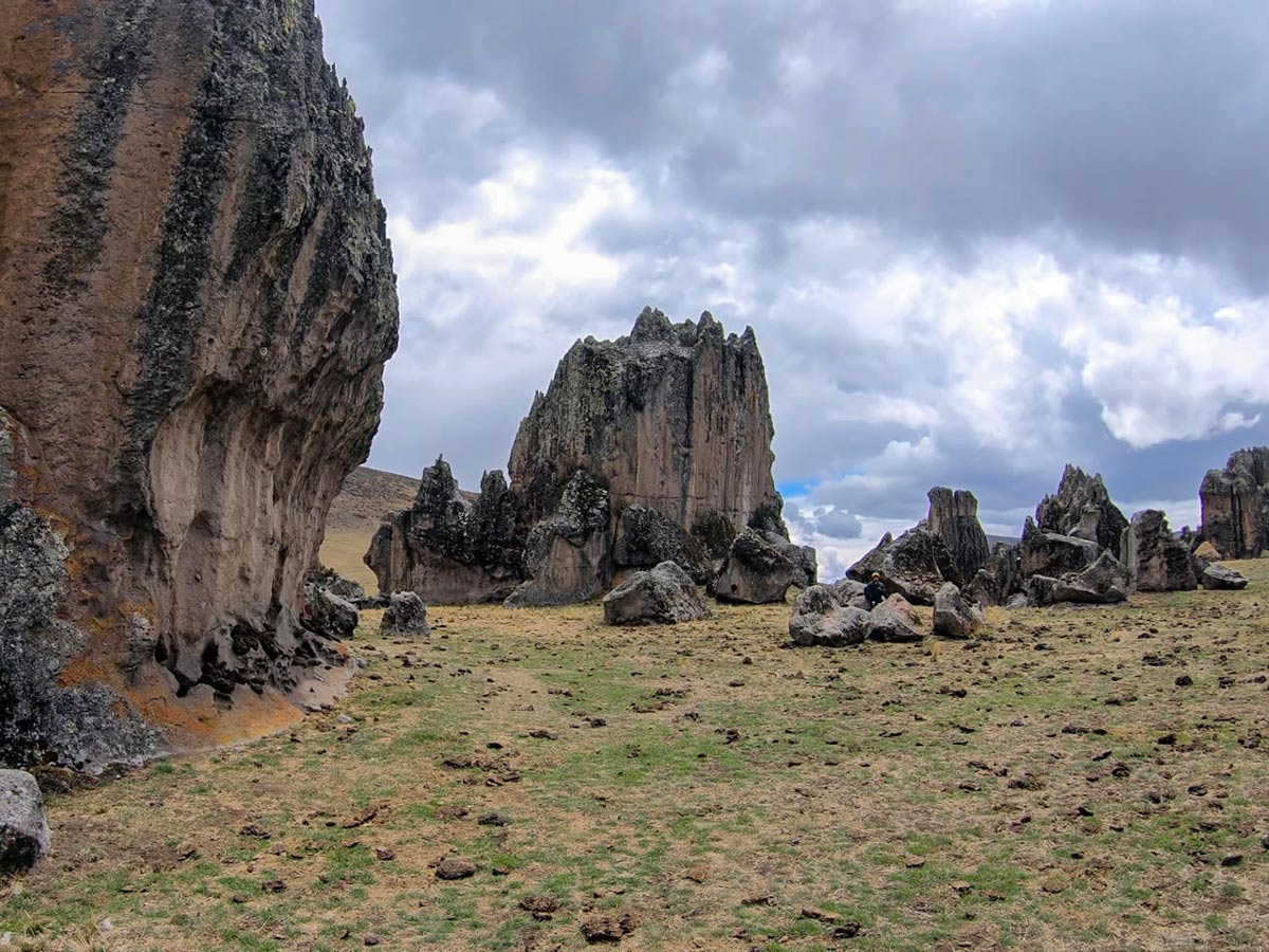
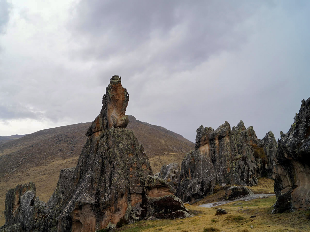
Hike through a collection of whimsical stone figures that have been morphed by time, wind, and glaciers. The route carries you to cave paintings, harking back to pre-Inca times as well as to a breathtaking view of the towering mountain range: Cordillera Huayhuash. You may also encounter a few locals performing some rituals near the caves.
Getting there
Travel to Hatun Machay by vehicle.
About
| When to do | April - October |
| Backcountry Campsites | No, but there is a refuge |
| Family friendly | Yes |
| Route Signage | Poor |
| Crowd Levels | Low |
| Route Type | Circuit |
Rock Forest of Hatun Machay
Elevation Graph
Weather
Route Description for Rock Forest of Hatun Machay
The jetting rock forest spanning Hatun Machay makes it a notable hotspot for visitors and takes just over 2 hours to reach from Huaraz by vehicle. The long car ride may hinder interested hikers in making the journey, but it’s definitely well worth the drive. Note that Hatun Machay is administered by the Rural Community of Pampas Chico, and they charge a fee to visit
Within moments of arriving at the start point, the rock formations will immediately transport you to prehistoric times. The hike takes you through caves covered in paintings from 10,000 BC, a variety of lofty rock and boulder formations, and once you reach the east side, a view of Cordillera Huayhuash will emerge. This hike introduces you to another aspect of nature, one that resulted from volcanic eruptions around 6 million years ago.
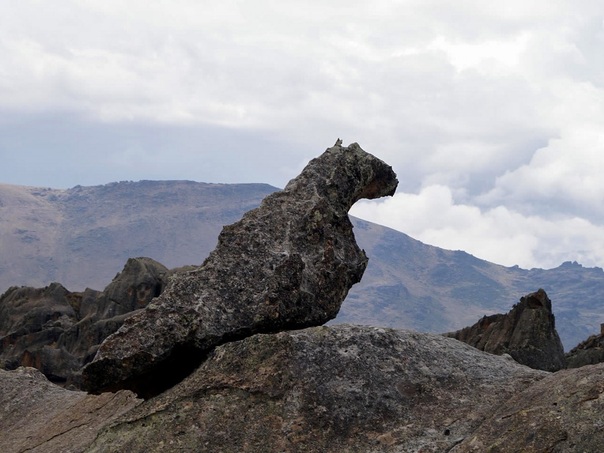
The hike begins at 13976ft, and it’s recommended to go clockwise and descent to 13123ft rather than hike upwards. Do note that the path has some signage, but do your best to try to avoid returning the same way you came. Take the other path back to ensure that you see all of the rock formations and animal-shaped figurines. You also don’t want to miss out on visiting the massive cave, which has paintings carved along the wall, and you may spot some locals performing rituals here, too.
Once you return, after around 5 hours of walking, board your vehicle and head back to Huaraz.
Insider Hints
Although this is a short walk, it’s also very interesting. It’s 5 hours if you want to stop and examine each figure, though you could do it in 3 hours if you are quicker.
It’s best to bring water from the city since the water may not be super clean here.
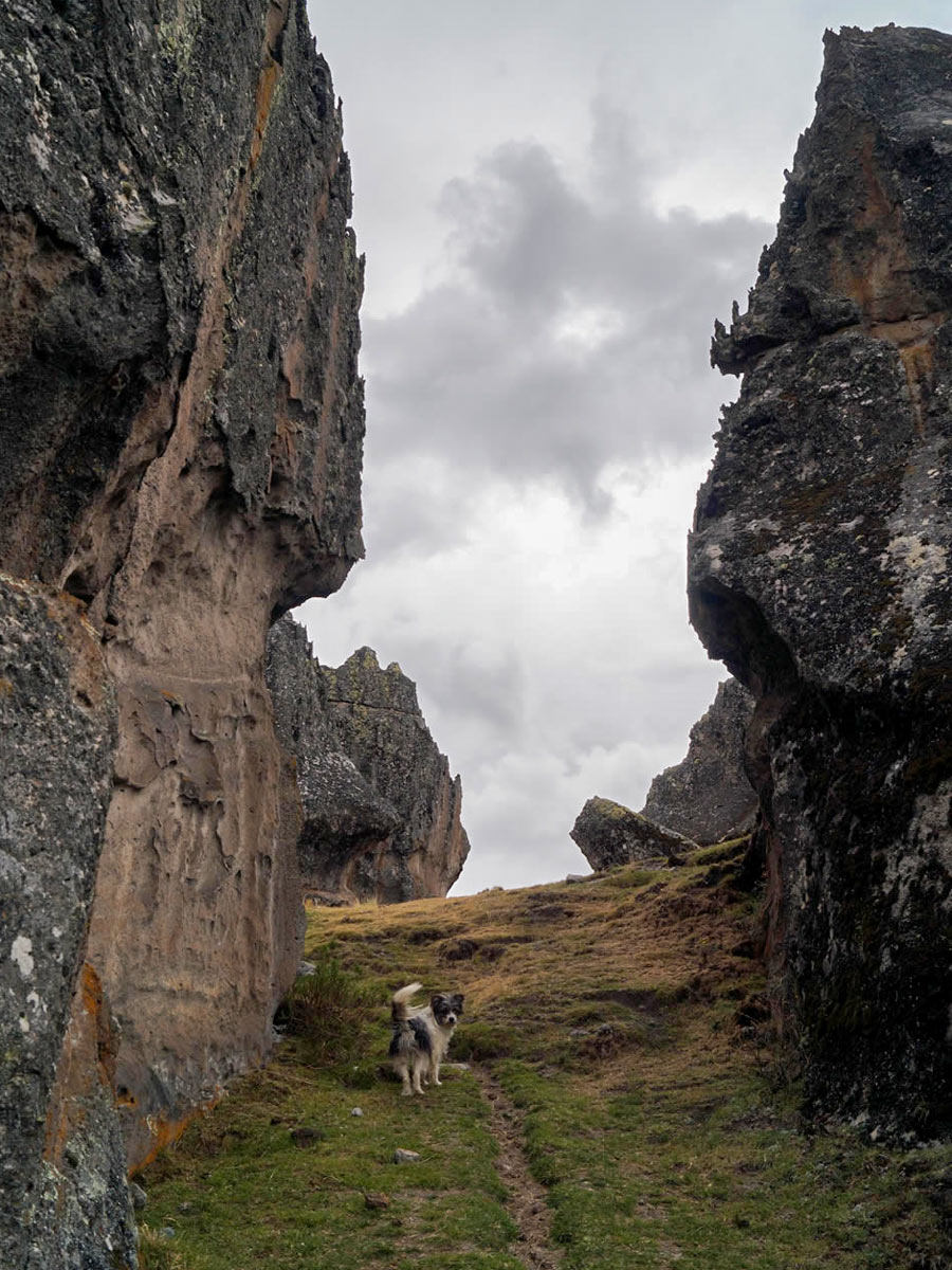
The dogs accompanying guardians may be aggressive, so watch out for them and opt to carry a stick—use this as a defence mechanism—if you want to.
Bring your own food and snacks along since there is nothing available to buy here.
You can climb some of the rocks without gear, but be super careful—most people come here and climb with a guide.
Similar hikes to the Rock Forest of Hatun Machay hike
Pastoruri Glacier
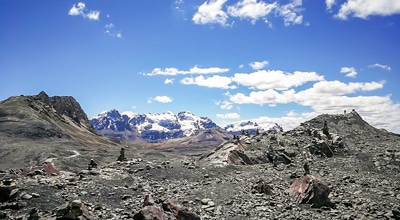
The hike to Pastoruri Glacier is one of the most popular day hikes near Huaraz—and for good reason. It’s a…
Wilcacocha Viewpoint
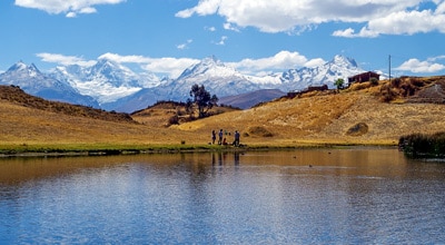
The Wilcacocha Viewpoint hike perfectly embodies the term "short but sweet." Not only does it grant you the chance to…
Portachuelo de Llanganuco
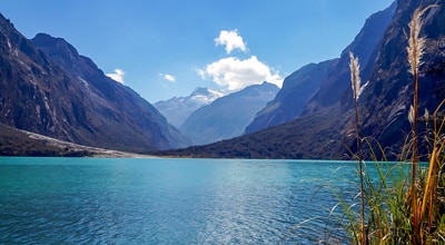
The Portachuelo de Llanganuco hike differs from most trails: it takes you down rather than up, making it a decent…


Chris A. 5 years ago
marvelous rock formations and caves. it seems like a very sacred place.
Hugomathias 5 years ago
A bit challenging for such beautiful views.
Luciana Gutierrez 5 years ago
This hike reminds me of prehistoric times. The stones seem like they were from the past.
Robyn Tyler 5 years ago
The towering mountain ranges look great. There are lots of interesting things to see here, Worth every step.
Jamin Roldan 5 years ago
Loved this trail! Would call it an easy hike because it's not that challenging.
Doris A. 6 years ago
The formations were nice but I guess it's not good to go on an empty stomach without any snacks. There's not a single store in the area!
Andrew E. 6 years ago
Awesome trail. Very easy and accessible. Finished it in 3 hours.
Abigail H. 6 years ago
The landscapes here are remarkable. Trail was fairly easy. It was amazing!
Paul O. 6 years ago
the caves were incredible. we witnessed some locals performing some rituals. It doesn't look so weird.
Marilyn H. 6 years ago
Impressive hike. Nice exploratory area. So much history to unravel and views to see.