

Lake Auquiscocha hike
View PhotosLake Auquiscocha hike
Difficulty Rating:
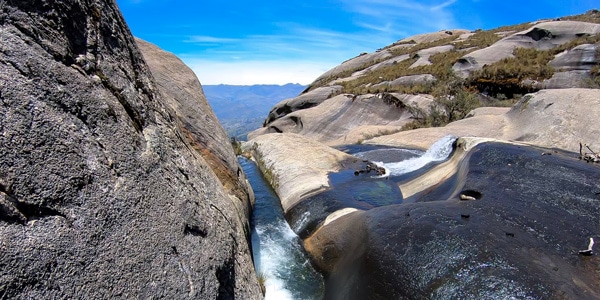
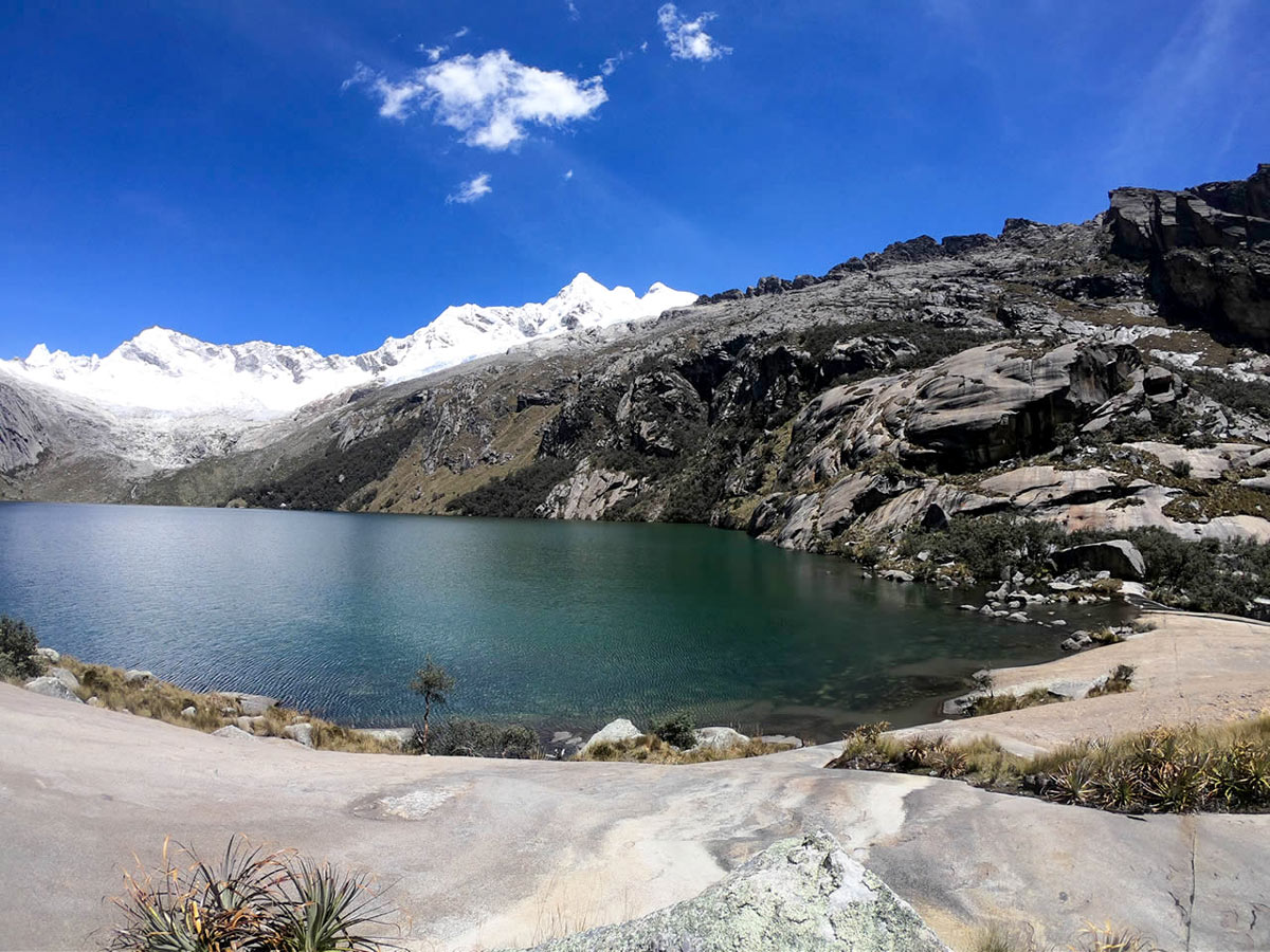
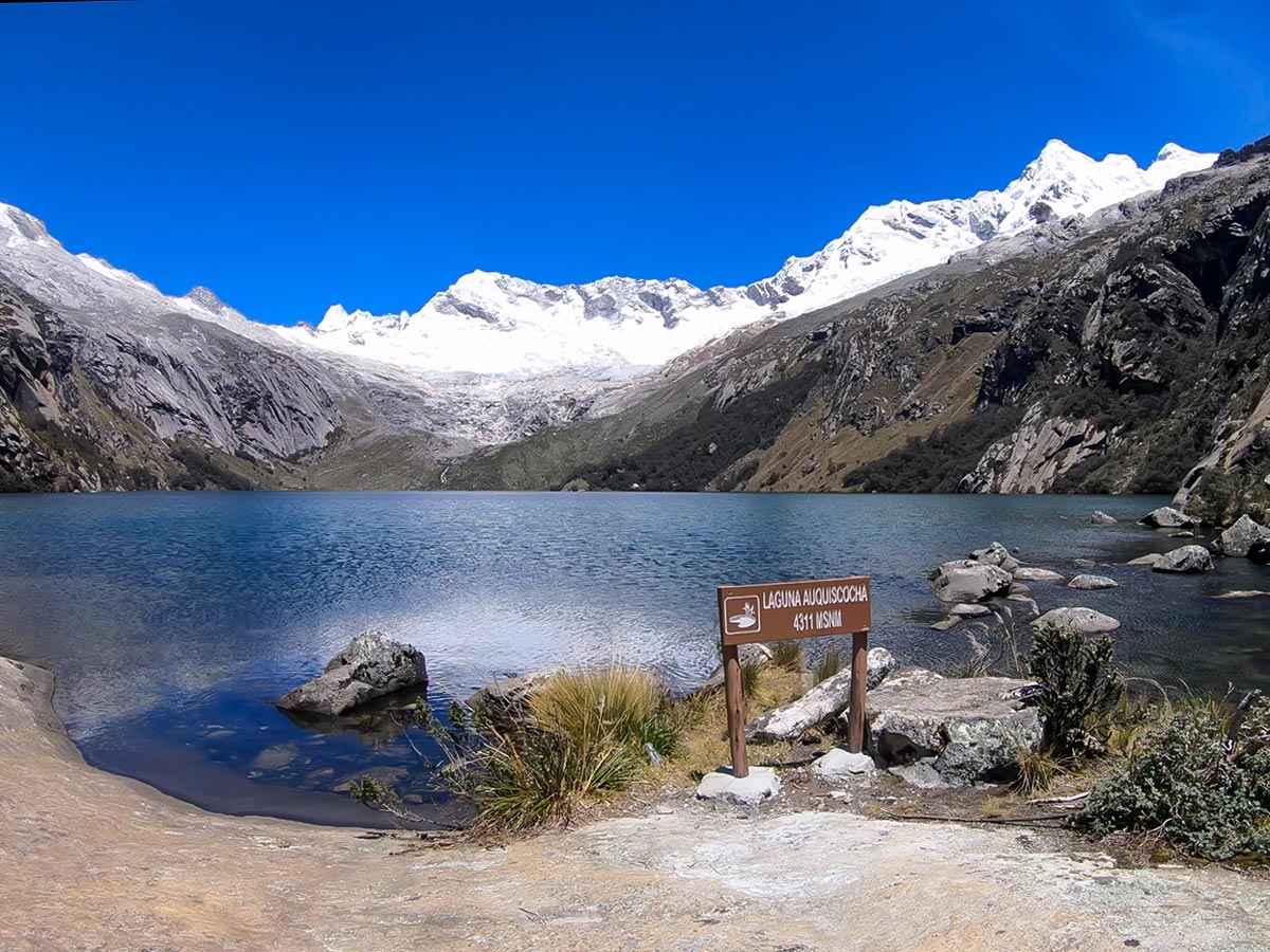
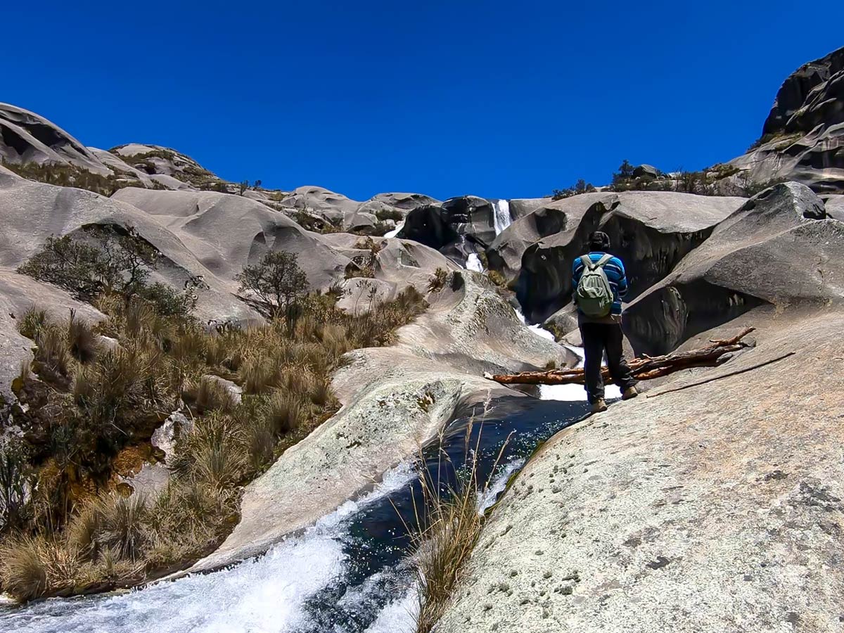
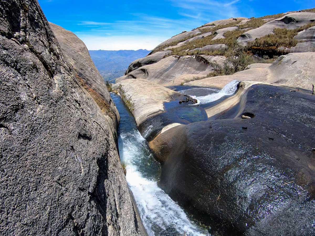
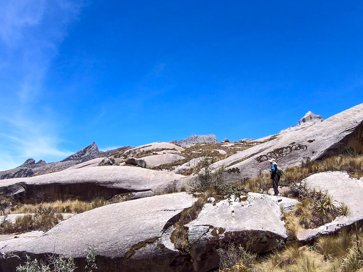
Enjoy a challenging, but rewarding hike to one of the most stunning views near Huaraz: Lake Auquiscocha, nestled in the Cordillera Blanca mountain region. Walk along a path between pine trees, eucalyptus trees and native trees, and observe how the water's constancy has carved a beautiful channel, where the thawed waters of the mountain range flow. Once you reach the lake, at a high 14140ft elevation, sit on the banks and admire the snow-swept peaks of both Cancaracá and Hualcán cradling the sparkling waters.
Getting there
Hop in your car (or taxi) and drive past the town of Shilla, up to the Gatay gorge, and then continue by car through the Gatay gorge on a dirt road for another 30 minutes until you reach the last fish farm, which sits at 11713ft.
About
| When to do | April - October |
| Backcountry Campsites | No |
| Family friendly | No |
| Route Signage | Poor |
| Crowd Levels | Low |
| Route Type | Out and back |
Lake Auquiscocha
Elevation Graph
Weather
Route Description for Lake Auquiscocha
This hike takes you to the ever-so remarkable, mesmerizing Laguna (Lake) Auquiscocha. The trail may be challenging, but the view will force any moans and groans felt moments before to vanish.
Before you go, you should know that it can be tough to find the trailhead and follow the route. Therefore, it’s advised to go with a guide or to double check the directions for the hike with a local before going.
If you do go on your own, note that from where you park the car at the fish farm, you’ll walk for about 45 minutes on semi-flat terrain through pine and eucalyptus trees before meandering along the left bank of the river.
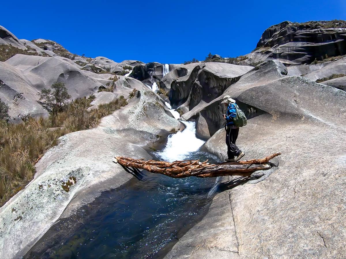
From here, you’ll walk along an irrigation ditch. Follow this path until you get to a big road! Eventually, you’ll reach the rock massif, and then the path runs parallel to the river. Soon, the native trees will fade into the rockiest part of the hike, and you’ll notice the channels carved into the rocks.
Before you know it, you’ll cross a small bridge and reach Lake Auquiscocha after around two hours of hiking.
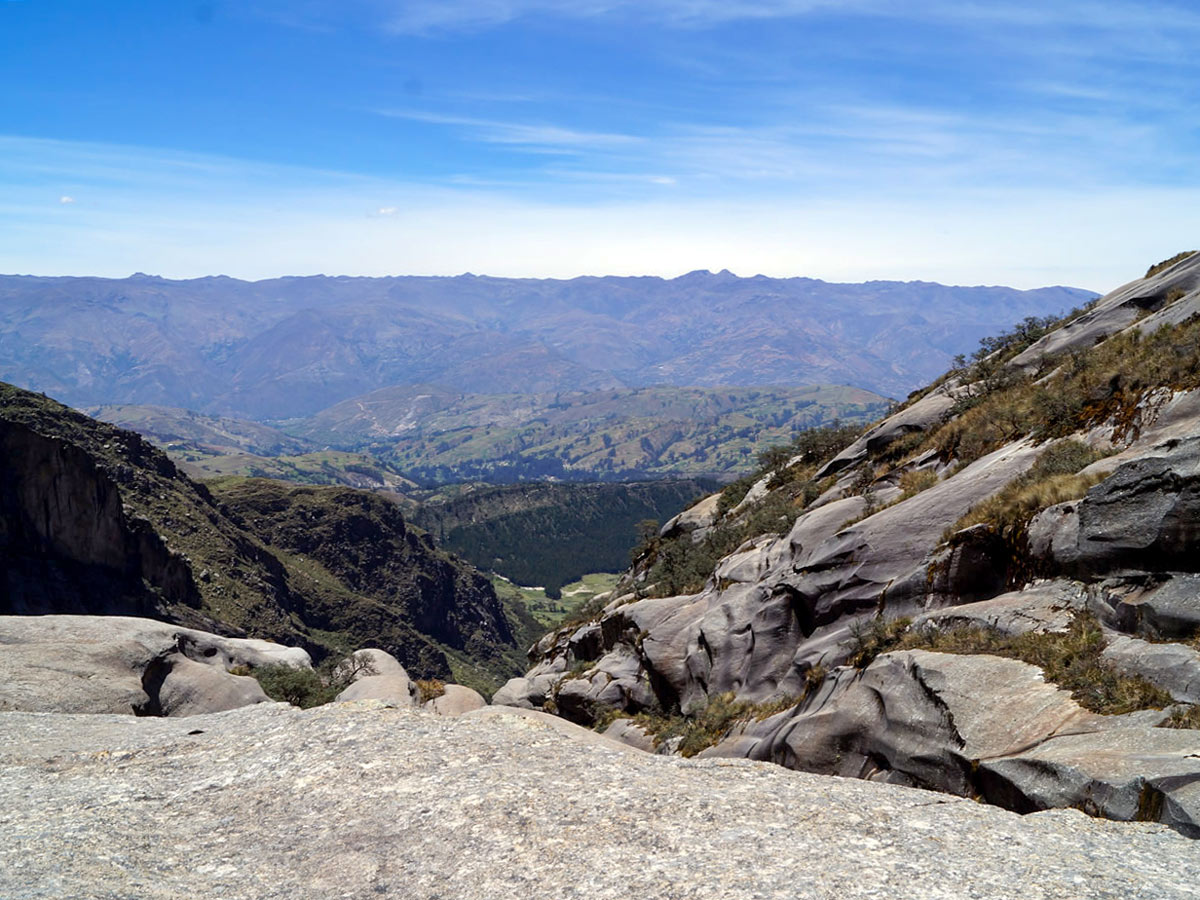
On your way you’ll encounter an array of waterfalls. Once you reach Lake Auquiscocha, you’ll also catch views of the Callejón de Huaylas valley sandwiched between the Cordilleras Blanca and Negra mountain ranges.
Laguna Auquiscocha sits at a whopping 14140ft, so it’s essential to be prepared for this high altitude before you go!
Return to the fish farm via the same route you came.
Find even more great hikes in Huaraz:
Insider Hints
Bring your own food and drink from Huaraz. It’ll be tough to find food or water en route to the trailhead.
If you have hiking poles, bring them! They will help with the descent.
It can be easy to get lost on this walk, so a guide is highly recommended.
Wear clothing for cold and heat!
Similar hikes to the Lake Auquiscocha hike
Lake Uruscocha
Travel deep into the forest and farther away from civilization on this relatively off-the-beaten-path. Eventually, you’ll reach the first lake…
Lake Churup
Lake Churup may be one of the most impressive day hikes in Huaraz! After teetering along rocks, free climbing, and…
Pastoruri Glacier
The hike to Pastoruri Glacier is one of the most popular day hikes near Huaraz—and for good reason. It’s a…



Hugomathias 5 years ago
Nice and amusing hike. Stunning views!
Josiah Gole 5 years ago
Great hike. It would be smart if you could bring enough food and water to cover the entire hike. There were hardly any shops nearby.
Abigail H. 6 years ago
Beautiful hike and Mountain views! It was a tough one!
MIlani Pitl 6 years ago
Relatively moderate hike with spectacular river views.
Richard S. 6 years ago
The snow-swept peaks were amazing. It was a nice place to explore!
Charles Pawn 6 years ago
This is an underrated hike. It's so beautiful but not many recognize its beauty. It's a cool hike!