Wharram-le-Street and Wharram Percy Walk
View Photos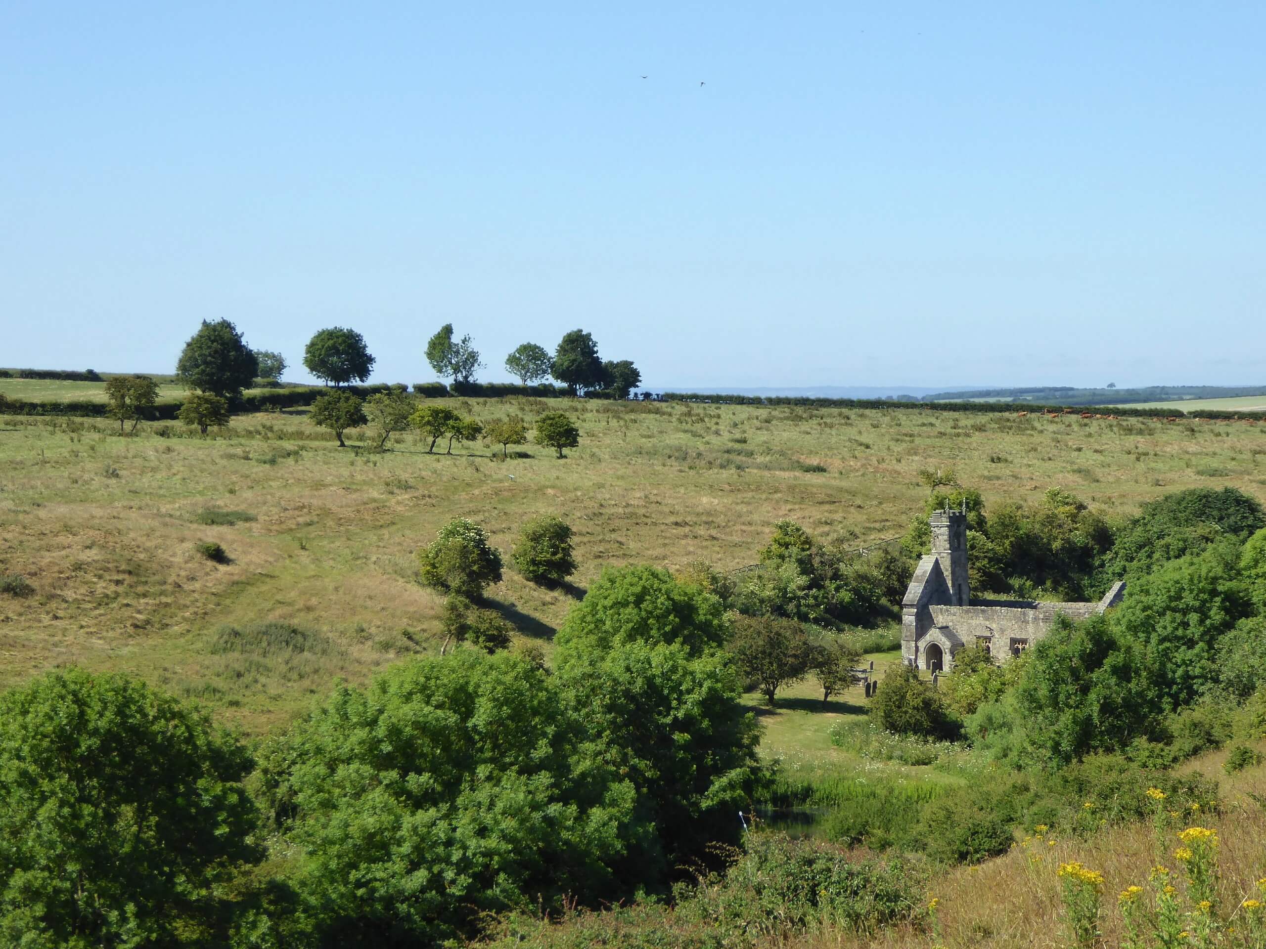
Wharram-le-Street and Wharram Percy Walk
Difficulty Rating:
The Wharram-le-Street and Wharram Percy Walk is a pleasant adventure to the southeast of the Howardian Hills AONB that will lead you through the countryside to an abandoned Medieval village. While out walking the trail, you will traverse the picturesque farmland of the Yorkshire landscape, before exploring the area of a once-prominent village that now features some interesting ruins. This is an easy-going adventure that is well-suited for anyone with an interest in Medieval history.
Getting there
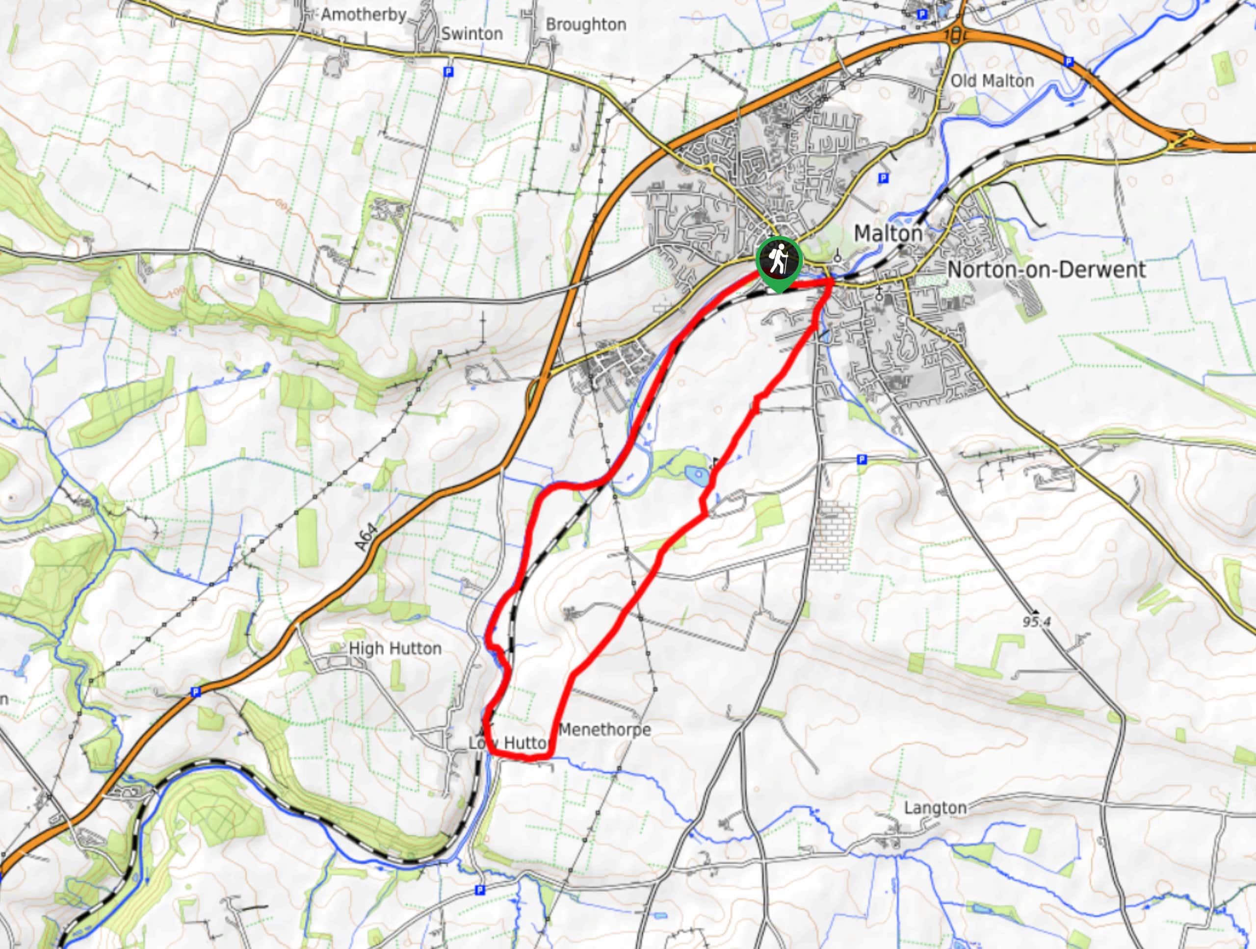
The trailhead for the Wharram-le-Street and Wharram Percy Walk can be found in the village of Wharram-le-Street at the point where Station Road and B1248 meet.

About
| Backcountry Campground | No |
| When to do | Year-Round |
| Pets allowed | Yes |
| Family friendly | Yes |
| Route Signage | Average |
| Crowd Levels | Moderate |
| Route Type | Lollipop |
Wharram-le-Street and Wharram Percy Walk
Elevation Graph
Weather
Wharram-le-Street and Wharram Percy Walk Description
If you enjoy strolling through the beautiful Yorkshire countryside and find yourself wanting to learn more about the Medieval history of the area, then you will definitely want to spend an afternoon exploring the trails of the Wharram-le-Street and Wharram Percy Walk.
Setting out from the trailhead in the village of Wharram-le-Street, you will head to the south alongside the road in order to traverse the open expanse of farmland surrounding you. After reaching the southwest corner of the route, you will head to the north to make your way into the abandoned village of Wharram Percy.
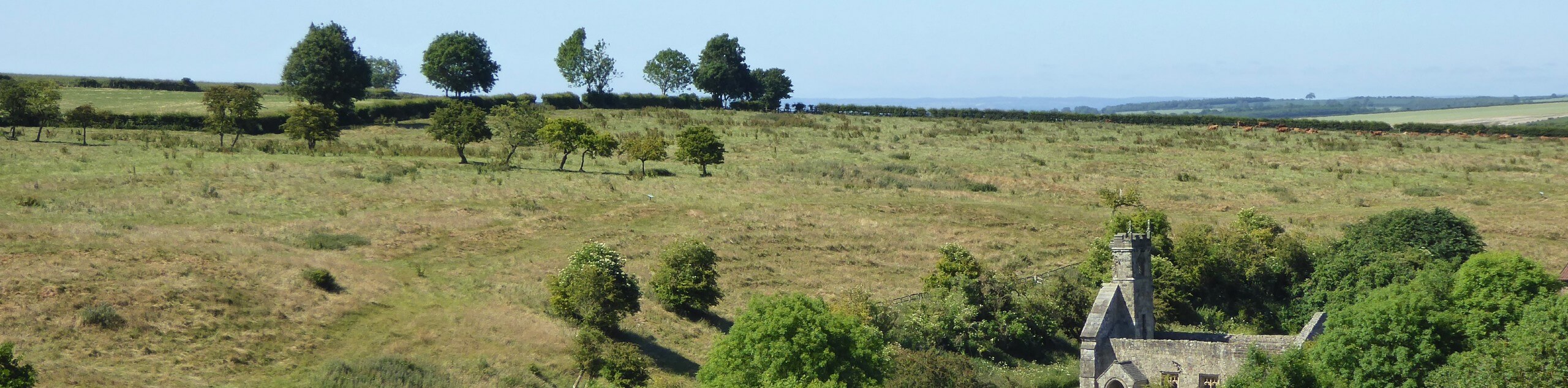
While there is evidence of the settlement being occupied well into prehistoric times, the village seems to have seen its most prosperous time between the 10th and 12th Centuries, before being abandoned sometime around the turn of the 16th Century. As you walk through this area and take in the sights of the ruins, you will find some information boards to learn more about the history of the area. After crossing over a footbridge, you will traverse the fields to the east to meet back up with the road, following it back into the village where you began.
Similar hikes to the Wharram-le-Street and Wharram Percy Walk hike
Norton and Menethorpe Walk
The Norton and Menethorpe Walk is a fun, but slightly overgrown route just east of the Howardian Hills AONB that…
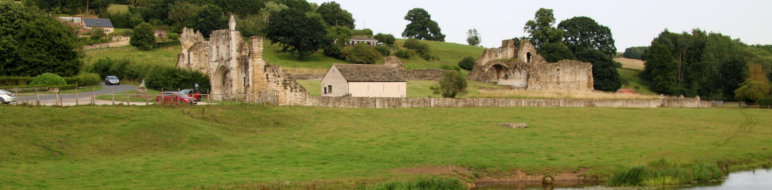
Kirkham Priory and River Derwent Walk
The Kirkham Priory and River Derwent Walk is a fantastic adventure in the Howardian Hills AONB that will showcase the…
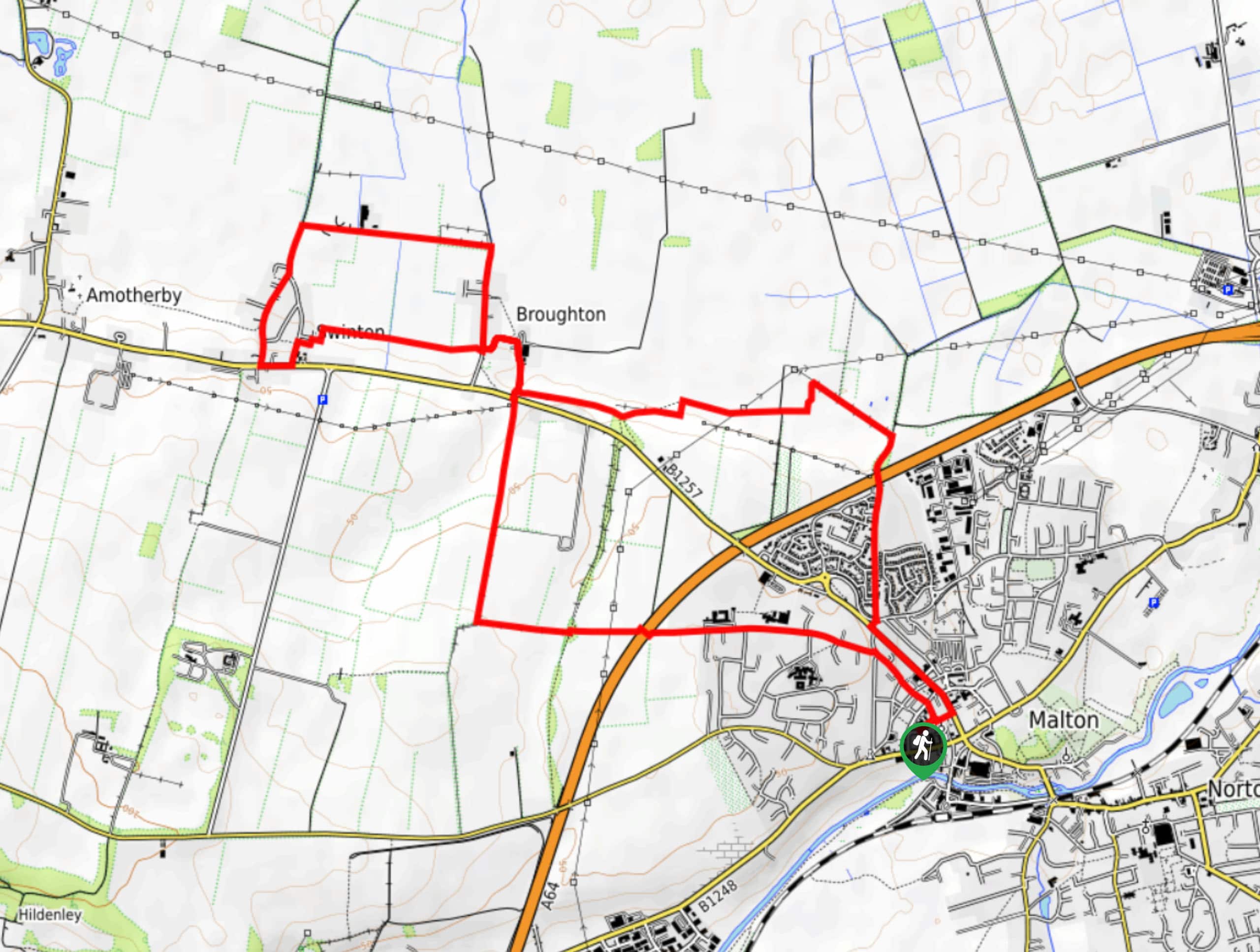
Malton and Swinton Walk
The Malton and Swinton Walk is a fun excursion that will lead you from the market town of Maton to…
Comments