

Westow and River Derwent Walk
View PhotosWestow and River Derwent Walk
Difficulty Rating:
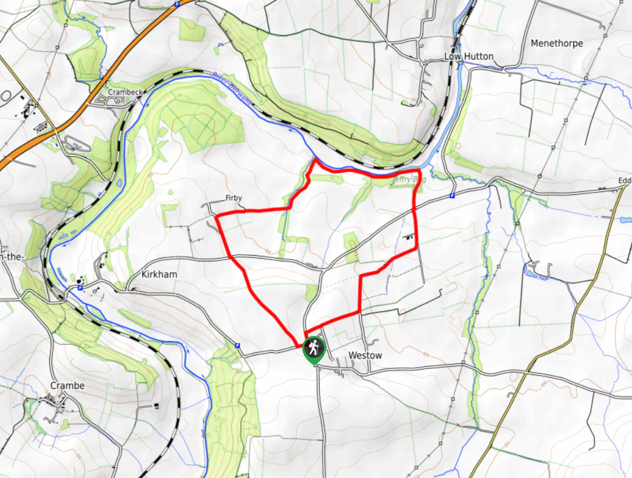
The Westow and River Derwent Walk is a beautifully scenic walking route on the edge of the Howardian Hills AONB that will expose you to the picturesque countryside of the region. While out on the trail, you will make your way through open farmland and walk along the banks of the River Derwent, while taking in stunning views of the surrounding landscape. Make sure to wear proper footwear, as portions of this trail can be quite muddy at times!
Getting there
The trailhead for the Westow and River Derwent Walk can be found in the village of Westow, close to the Blacksmiths Inn.
About
| Backcountry Campground | No |
| When to do | March-October |
| Pets allowed | Yes |
| Family friendly | Yes |
| Route Signage | Average |
| Crowd Levels | Low |
| Route Type | Circuit |
Westow and River Derwent Walk
Elevation Graph
Weather
Westow and River Derwent Walk Description
If you are taking a break from longer, more demanding walking routes and arte simply trying to enjoy a relaxing day on the trails with some picturesque scenery, then the Westow and River Derwent Walk in the Howardian Hills isd a great option to do so.
Setting out from the quiet village of Westow, you will head northwest across the open countryside to visit the village of Firby, where you will enjoy some scenic views of the surrounding landscape. From here, you will head to the northeast to descend the hillside and eventually meet up with the banks of the River Derwent. Take some time to appreciate this lovely riverside setting, before turning to the southwest to once again traverse the open fields on the way back into Westow where you began.
Similar hikes to the Westow and River Derwent Walk hike

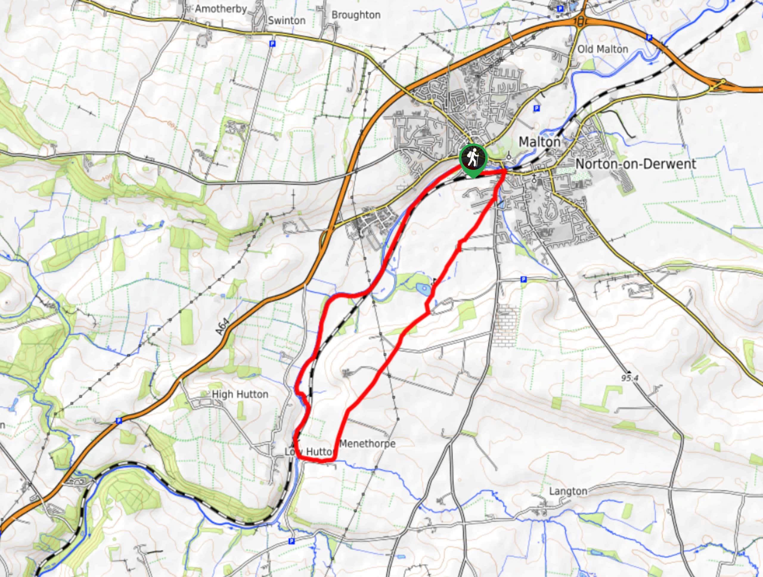
Norton and Menethorpe Walk
The Norton and Menethorpe Walk is a fun, but slightly overgrown route just east of the Howardian Hills AONB that…

Kirkham Priory and River Derwent Walk
The Kirkham Priory and River Derwent Walk is a fantastic adventure in the Howardian Hills AONB that will showcase the…

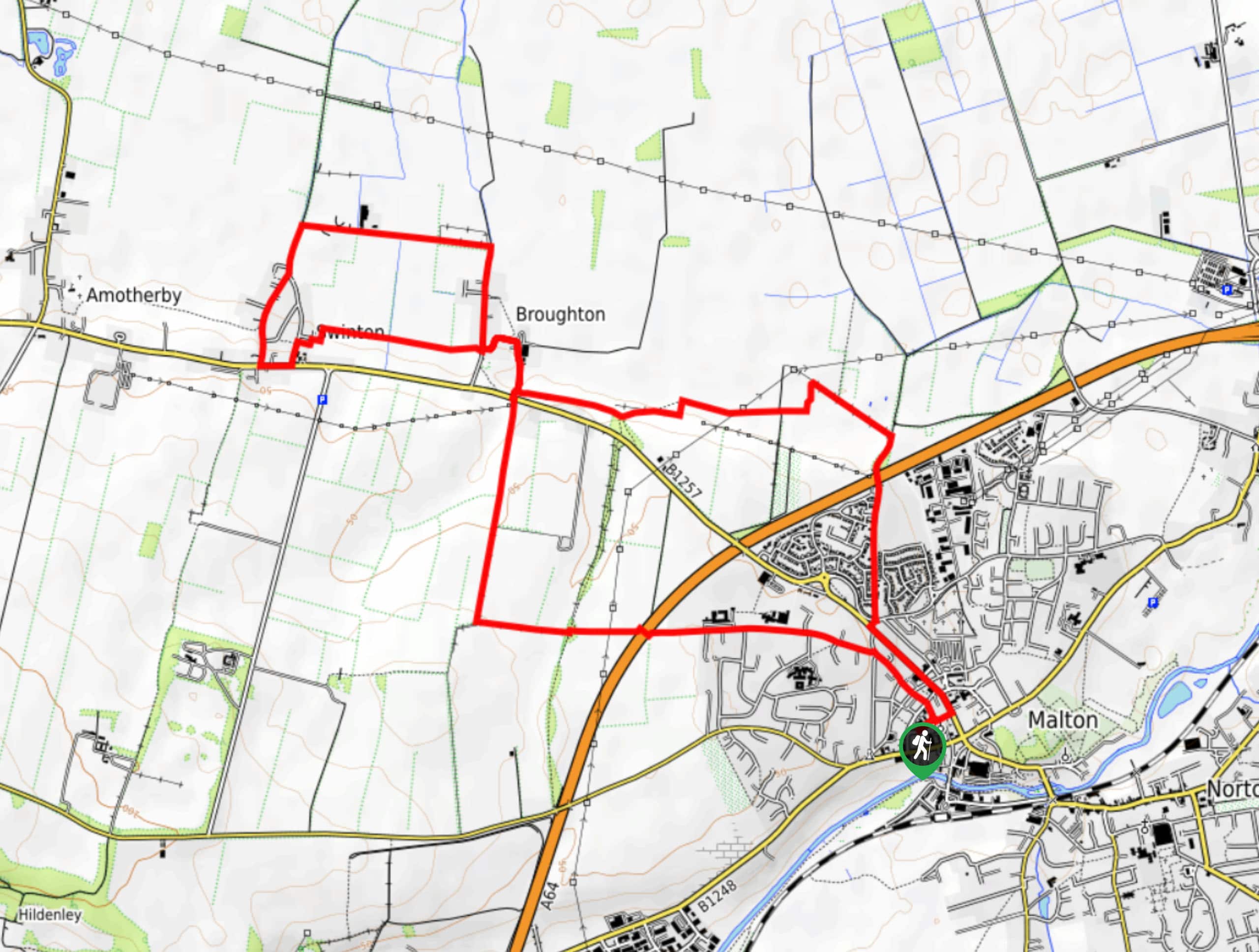
Malton and Swinton Walk
The Malton and Swinton Walk is a fun excursion that will lead you from the market town of Maton to…


Comments