
Freers Banks and Fryton Moor Walk
View Photos
Freers Banks and Fryton Moor Walk
Difficulty Rating:
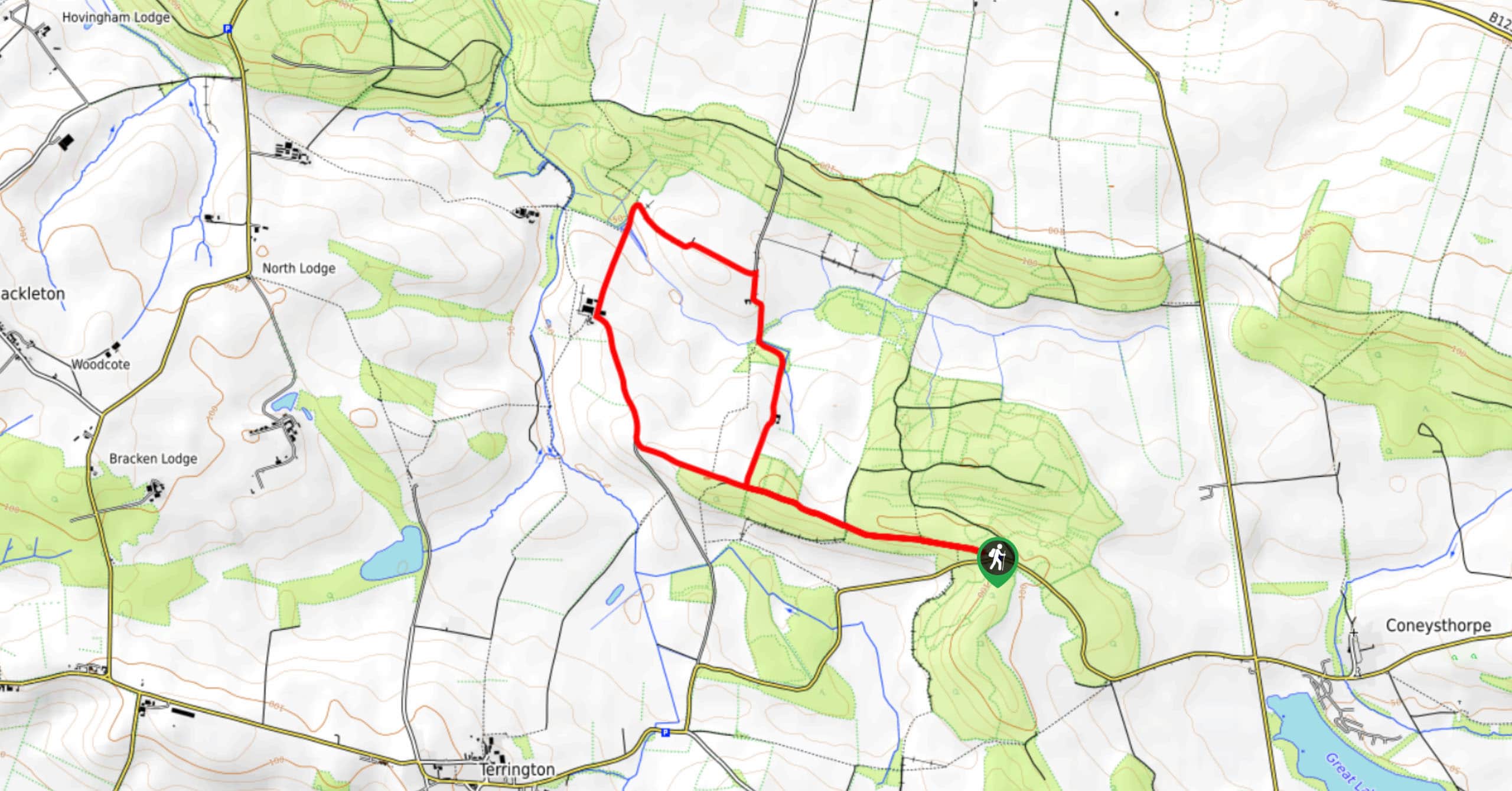
The Freers Bank and Fryton Moor Walk is a fun and fairly quick adventure in the Howardian Hills of North Yorkshire that will provide panoramic views over the area. While out on the walk, you will make your way uphill along a forested path that leads up a ridge, before taking in sweeping views across the undulating landscape. There is a small amount of uphill walking along this route; however, it is a great journey to complete with the family on the weekend.
Getting there
The trailhead for the Freers Bank and Fryton Moor Walk can be found 1.2mi west of Coneythorpe along Hepton Hill Road.

About
| Backcountry Campground | No |
| When to do | Year-Round |
| Pets allowed | Yes - On Leash |
| Family friendly | Yes |
| Route Signage | Average |
| Crowd Levels | Moderate |
| Route Type | Lollipop |
Freers Banks and Fryton Moor Walk
Elevation Graph
Weather
Freers Banks and Fryton Moor Walk Description
If you want to experience the natural beauty of the Howardian Hills but are slightly pressed for time, then you may want to consider spending a few hours along the Freers BAnk and Fryton Moor Walk. This fun adventure will take you through some lovely terrain that is characteristic of the area and provides stunning views across the landscape.
Setting out from the trailhead, you will work your way uphill to the northwest, relaxing in the peaceful atmosphere of the woodland landscape as you traverse a high ridgeline. Eventually, you will receive some stunning views across the undulating landscape surrounding you.
At this point, you will make your way downhill to the north and complete a short loop around some picturesque Yorkshire farmland, turning to the southeast as you climb back uphill on the return leg of the journey to the trailhead where you started.
Similar hikes to the Freers Banks and Fryton Moor Walk hike
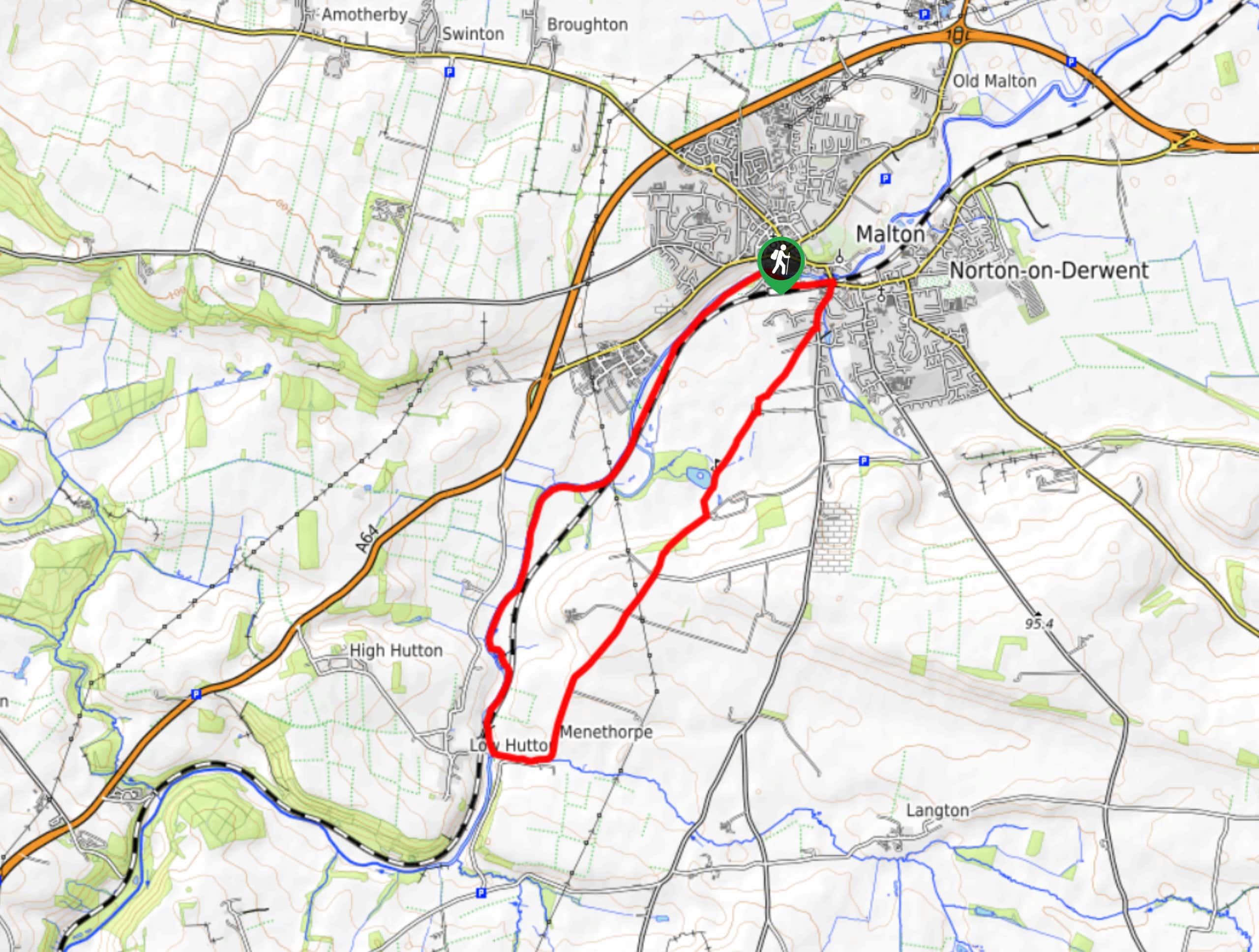
Norton and Menethorpe Walk
The Norton and Menethorpe Walk is a fun, but slightly overgrown route just east of the Howardian Hills AONB that…
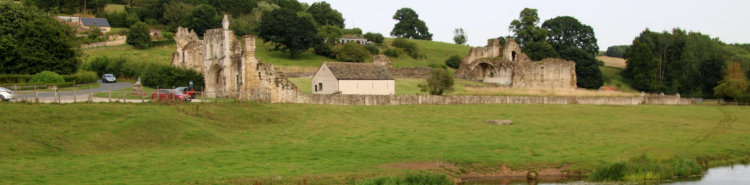
Kirkham Priory and River Derwent Walk
The Kirkham Priory and River Derwent Walk is a fantastic adventure in the Howardian Hills AONB that will showcase the…
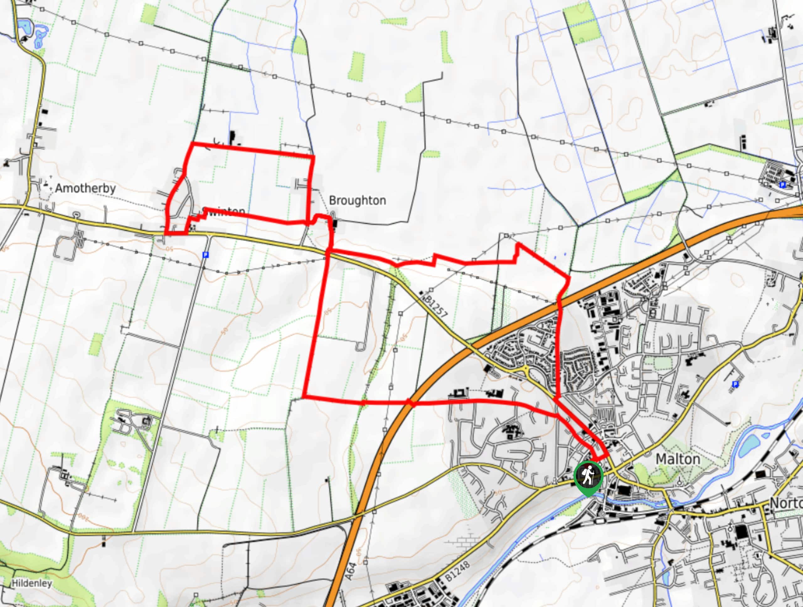
Malton and Swinton Walk
The Malton and Swinton Walk is a fun excursion that will lead you from the market town of Maton to…
Comments