Upper Certainty Mine Trail
View Photos
Upper Certainty Mine Trail
Difficulty Rating:
The Upper Certainty Mine Trail is a 1.9mi out-and-back hiking route that will take you through some beautiful subalpine terrain to reach the site of an old mine. Historically used as a route to access the mining operations of the 12-Mile Creek drainage area, this path is now used solely for hiking and stands as a testament to the longevity of these old, well-constructed trails. Due to the beautiful terrain and points of interest, this hike is great for both casual and experienced hikers.
Getting there
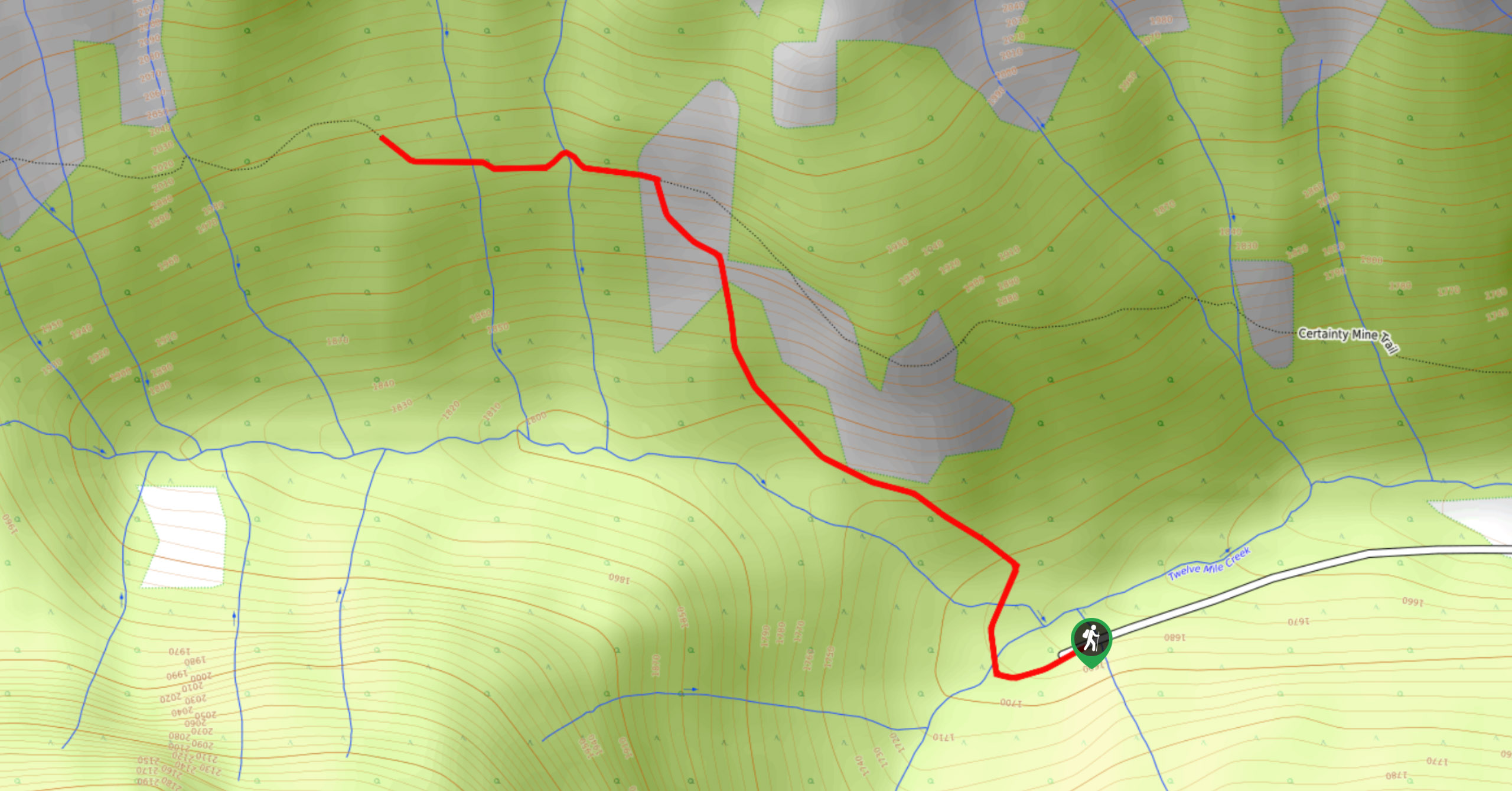
To reach the trailhead for the Lower Certainty Mine from Nicholson, drive southwest on Canyon Creek Road for 1.1mi. Turn left on 12-Mile Creek Road and set your odometer to 0 before continuing for 3.1mi. Here, you will cross over a bridge and continue to the 3.7mi mark, where you will turn right. At the 4.2mi mark, follow the bend in the road to the right, and at 4.4mi, follow it to the left to pass under the power lines. At the 5.2mi mark, keep right. Follow the road to the left at the 5.5mi mark, followed by another right at the 5.9mi mark. Keep right at the 6.4mi mark and continue heading north for another 3.7mi to reach the parking area just before the bridge.

About
| When to do | May–November |
| Backcountry Campsites | No |
| Pets allowed | Yes - On Leash |
| Family friendly | Older Children only |
| Route Signage | Average |
| Crowd Levels | Moderate |
| Route Type | Out and back |
Upper Certainty Mine Trail
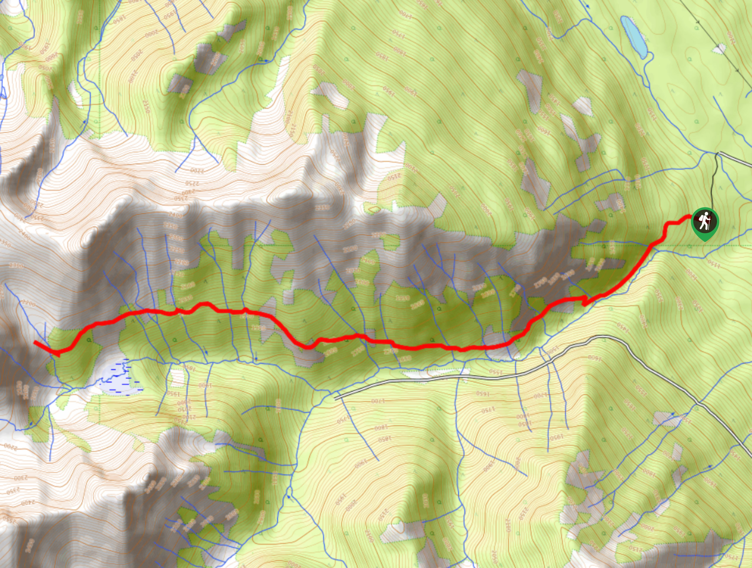
Elevation Graph
Weather
Upper Certainty Mine Trail Description
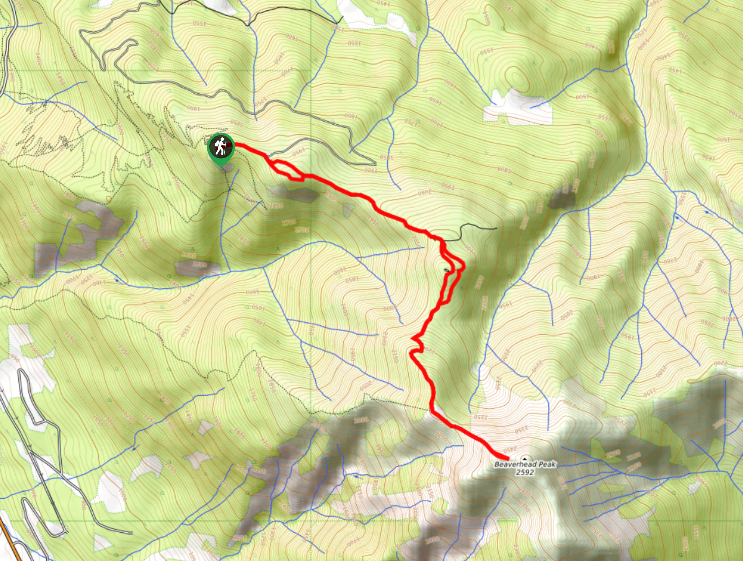
Hiking the Upper Certainty Mine Trail is a fun outdoor experience that will allow you to admire some beautiful sights along a picturesque subalpine valley and visit the location of an old mine from the turn of the century. While the trail features some small elevation gains, these are more than manageable for most hikers and should make for an exciting day out on the trails.
Setting out from the parking area, cross over the bridge and go right at the fork in the trail. Follow the orange trail markers past the cairn and up along the well-worn path into the forest. After climbing uphill, the trail will come to an intersection with the Lower Certainty Mine Trail. Follow this to the left, and the path will begin to level out. In 1640ft, you will come to another junction, with the left route heading down to a boggy area at the bottom of a waterfall and the right leading to the old mine. Go right and continue along the path, keeping left to pass by the falls and reach the upper alpine bowl. After taking in the beautiful views of the valley, head back down the trail to return to your vehicle.
Similar hikes to the Upper Certainty Mine Trail hike
Mount 7 Trail
The Mount 7 Trail is a 5.6mi out-and-back hiking route near Golden, BC, that sets out from a…
Lower Certainty Mine Trail
The Lower Certainty Mine Trail is a 6.0mi out-and-back hiking route near Golden, BC, that climbs through the…
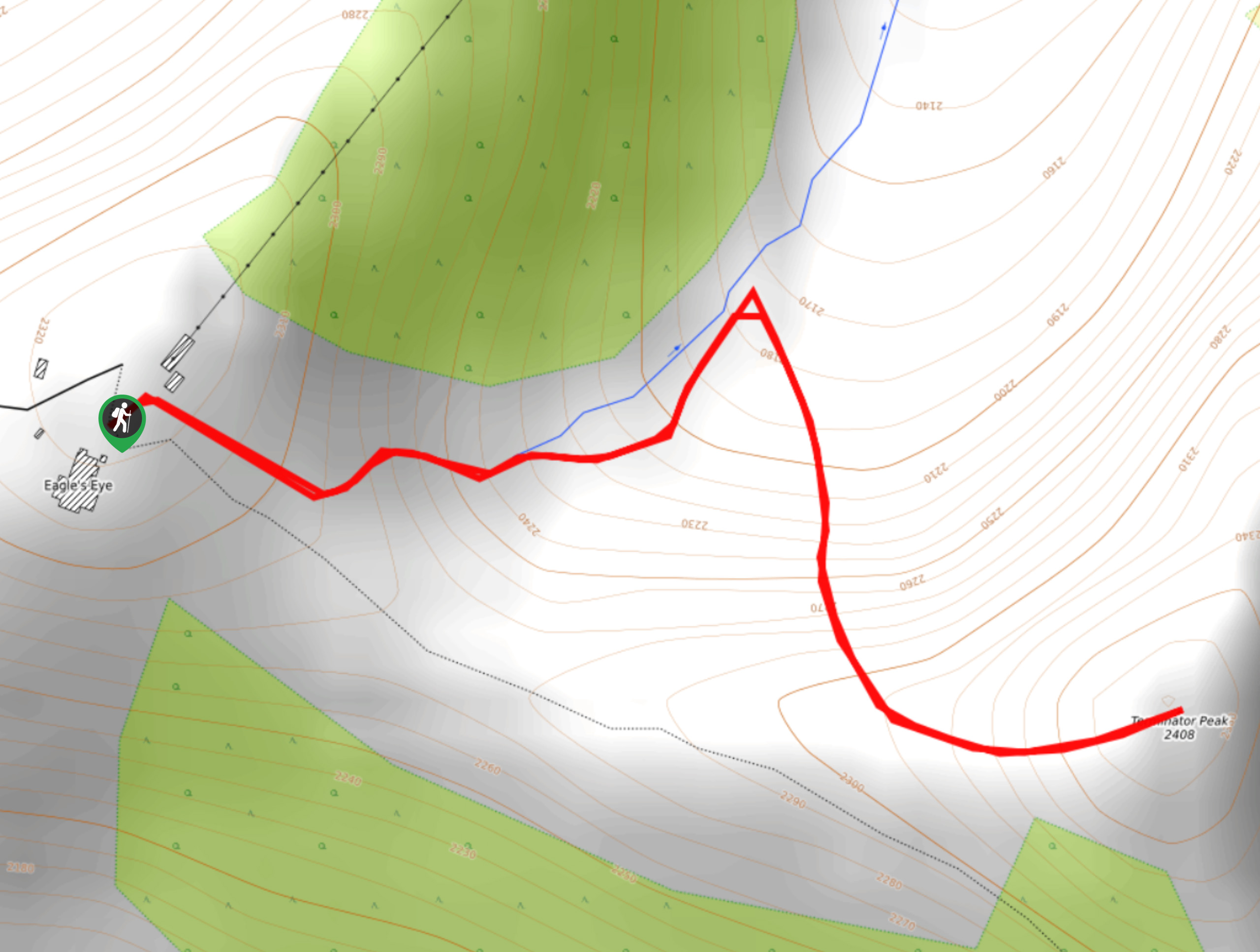
Terminator Peak
The hike up to Terminator Peak is a 0.9mi out-and-back route on the Kicking Horse Mountain Resort, taking…
Comments