

Grassy Knoll (T2 Peak)
View PhotosGrassy Knoll (T2 Peak)
Difficulty Rating:
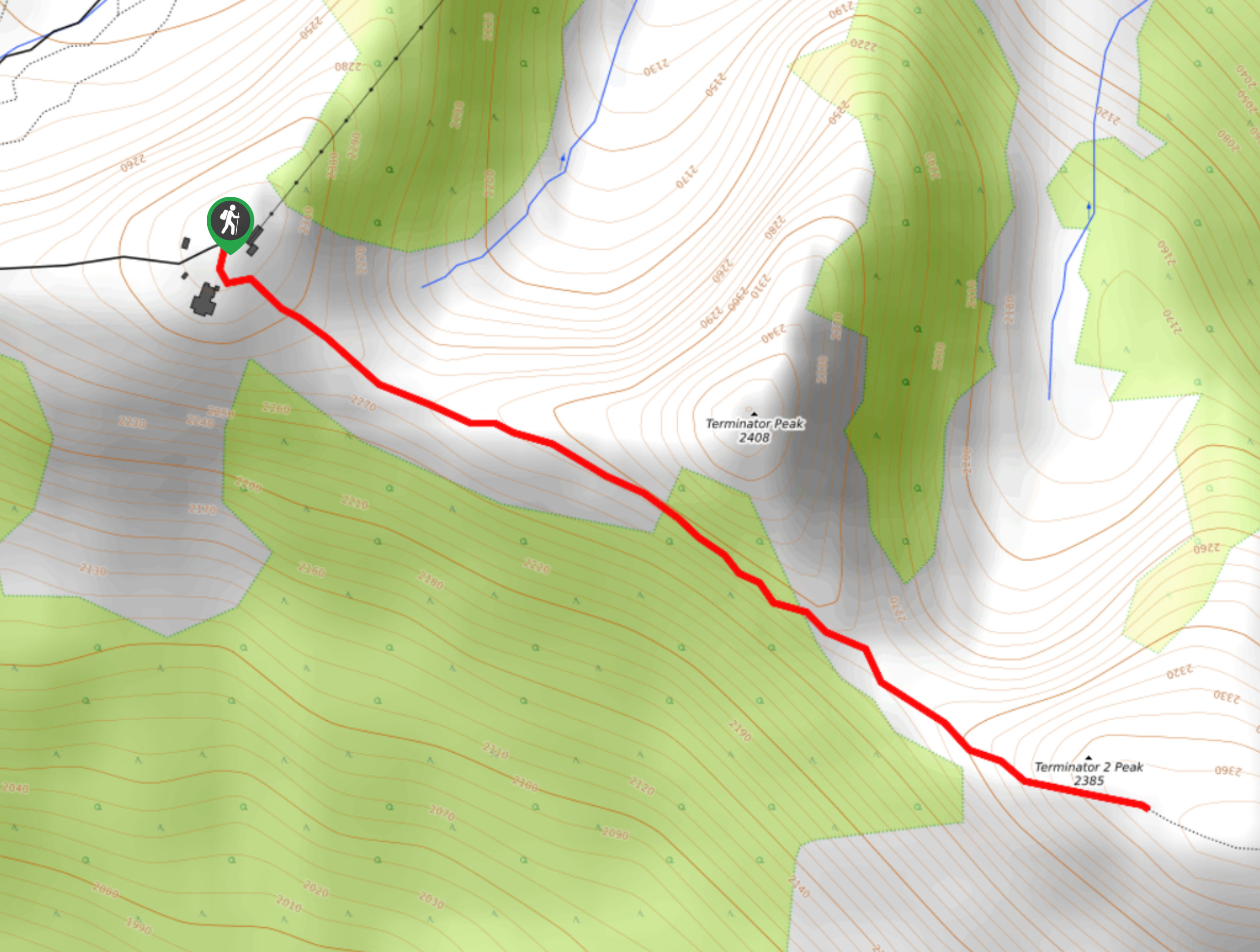
The hike up to Grassy Knoll (T2 Peak) is a quick 1.6mi out-and-back hiking route at the Kicking Horse Mountain Resort that will take you up a short and scenic ridge to the summit. From here, you will have sensational views overlooking Golden and the surrounding area, including the Columbia Wetlands and the rugged Purcell Mountains. While the views on this hike seem as though they belong to some difficult-to-reach peak, the route up to Grassy Knoll is accessible and should not pose a problem to beginner hikers.
Getting there
To access the Grassy Knoll (T2 Peak) trailhead from Golden, head northwest on Kicking Horse Drive for 1.3miand continue onto Kicking Horse Trail. Follow this for 6.2mi until you reach the Kicking Horse Mountain Resort. From here, hikers will need to make their way up the mountain by foot or by gondola.
About
| When to do | May–October |
| Backcountry Campsites | No |
| Pets allowed | Yes - On Leash |
| Family friendly | Older Children only |
| Route Signage | Average |
| Crowd Levels | Moderate |
| Route Type | Out and back |
Grassy Knoll (T2 Peak)
Elevation Graph
Weather
Grassy Knoll (T2 Peak) Description
The hike up Grassy Knoll, also known as T2 Peak, is a short route that will take you up to a grass-covered peak that is perfect for taking in the vast mountain landscape spread out before you. While the route is only 1.6mi round-trip, it does climb along a ridgeline, making hiking footwear necessary to traverse the terrain safely. Additionally, the route sets out from the top of the Golden Eagle Express Gondola. Anyone looking to utilize the trail will need to hike their way up the mountain or purchase a gondola ticket for a quicker start to your hike.
While this route isn’t the longest one in the Golden area, it does offer some unparalleled views of the mountainous landscape surrounding the Kicking Horse Mountain Resort. After traversing the Super Bowl Saddle and climbing your way up the ridgeline, you will be rewarded with views over the Purcell Mountains and the Columbia Wetlands below. For minimal effort, this is an incredible hike with spectacular views.
After reaching the trailhead either by foot or gondola, make your way south and follow the signs for T1 and T2. As you traverse the Super Bowl Saddle, you will have Terminator Peak on your right and will also see climbers making their way along the Via Ferrata, a secured climbing route on the side of the mountain.
As you continue along the trail, keep to the right to avoid taking the path that leads to the summit of Terminator Peak. As you make your way up the ridge to the grassy summit of T2, you will be greeted with some insane views of the picturesque mountain terrain surrounding you. As you gaze down into the valley below, you will be able to see the lush expanse of the Columbia Wetlands, and to the west, the rugged Purcell Mountains and the beautiful landscape of Glacier National Park. After taking in the sights, head back down the trail, grab a quick snack at the Eagle’s Eye Restaurant or make your way down the mountain to return to the resort.
Insider Hints
Shorten the time it takes to reach the trailhead by skipping the initial hike up and catching a ride on the gondola.
Wear proper hiking footwear to traverse the ridge safely.
Pop into the Double Black Cafe at the base of the gondola after your hike for some much-deserved refreshments.
Similar hikes to the Grassy Knoll (T2 Peak) hike
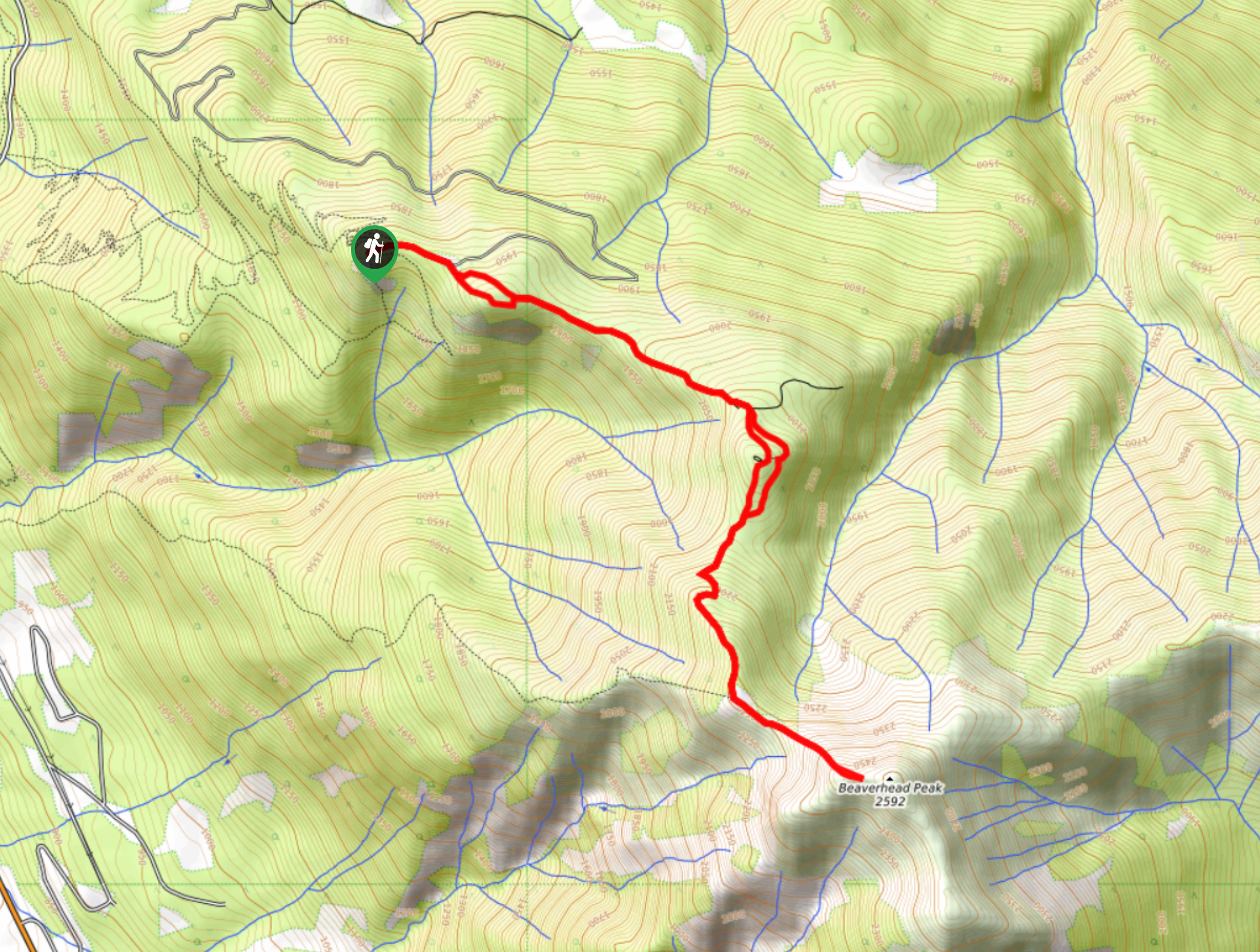
Mount 7 Trail
The Mount 7 Trail is a 5.6mi out-and-back hiking route near Golden, BC, that sets out from a…
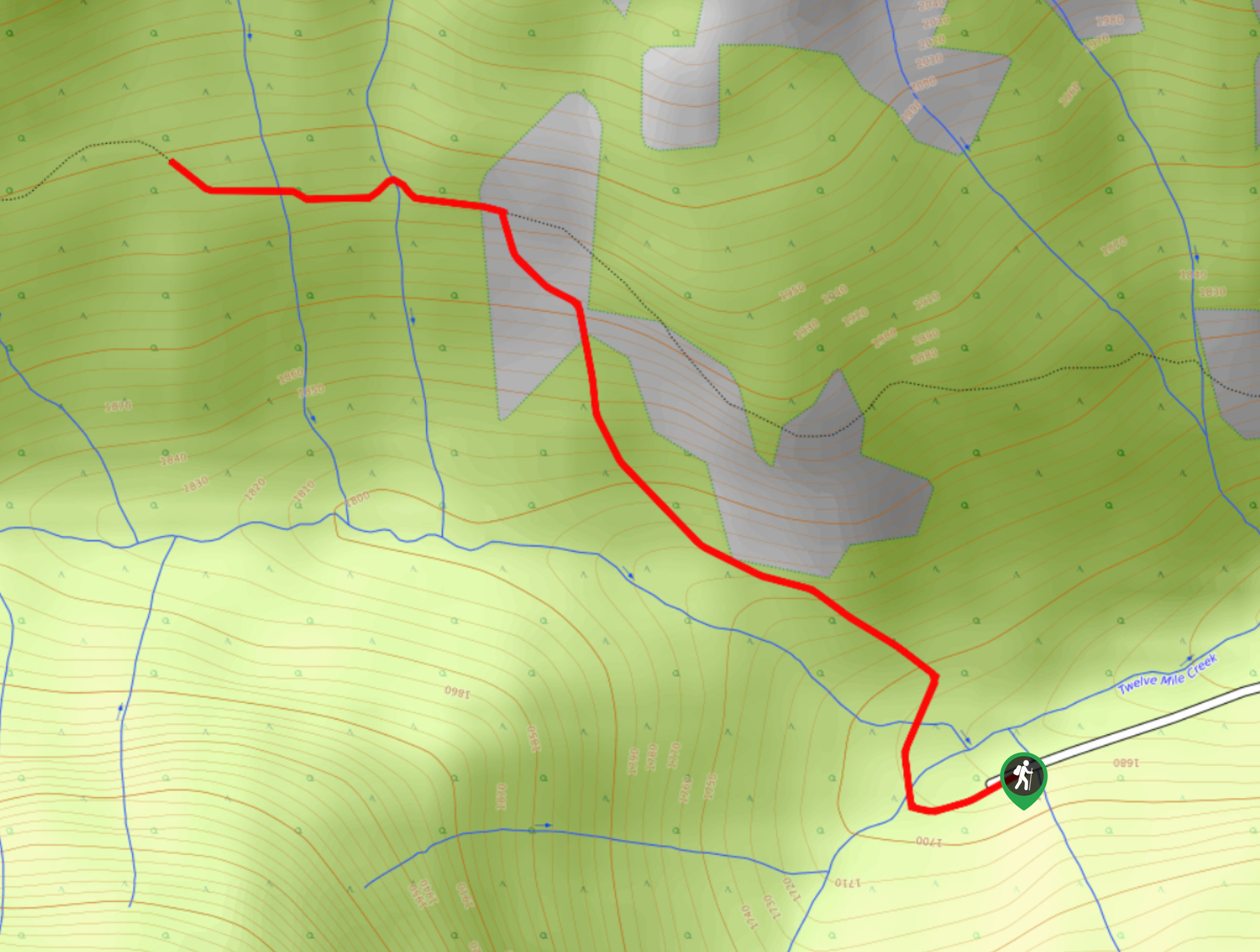
Upper Certainty Mine Trail
The Upper Certainty Mine Trail is a 1.9mi out-and-back hiking route that will take you through some beautiful…
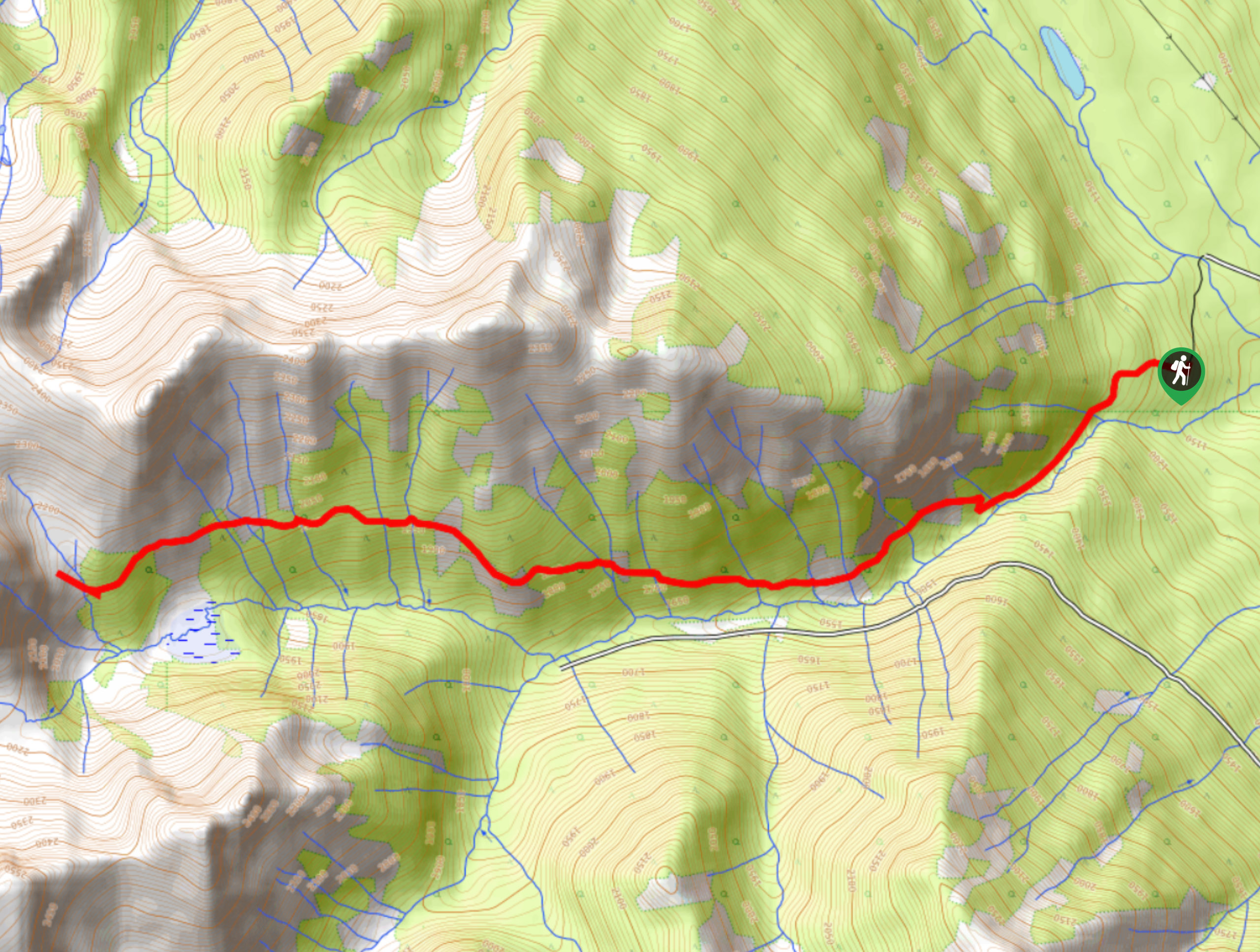
Lower Certainty Mine Trail
The Lower Certainty Mine Trail is a 6.0mi out-and-back hiking route near Golden, BC, that climbs through the…


Comments