

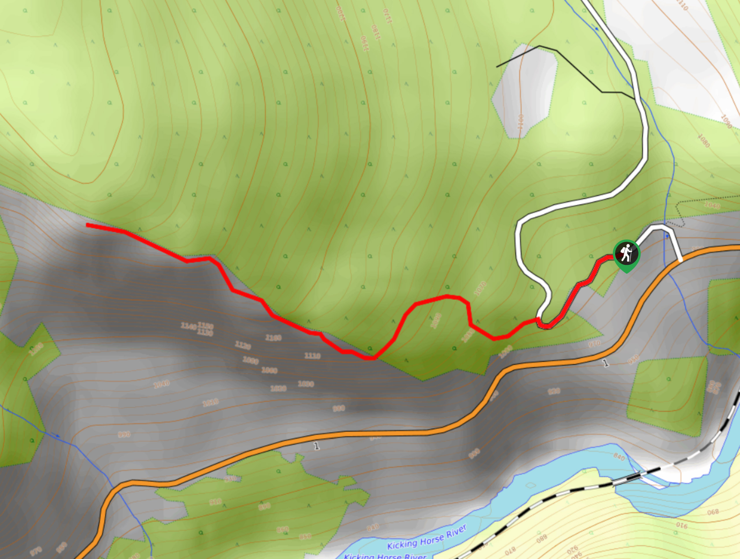
Frenchman’s Ridge
View PhotosFrenchman’s Ridge
Difficulty Rating:
Frenchman’s Ridge is a 1.6mi out-and-back hiking route near Golden, BC, that traverses a steep incline to provide scenic views over the Columbia Valley. The trail is an intense uphill slog that is often compared in difficulty to Vancouver’s Grouse Grind; however, Frenchman’s Ridge differs since there are no stairs to aid in the climb. Although short and challenging, this route will reward those who persevere with awesome views.
Getting there
To reach the parking area for Frenchman’s Ridge from Golden, drive east on BC-1 for 3.3mi and turn left onto Glenogle Creek Road. In 1312ft, you will find the trailhead on the left.
About
| When to do | March–October |
| Backcountry Campsites | No |
| Pets allowed | Yes - On Leash |
| Family friendly | No |
| Route Signage | Average |
| Crowd Levels | Low |
| Route Type | Out and back |
Frenchman’s Ridge
Elevation Graph
Weather
Frenchman’s Ridge Description
Hiking up Frenchman’s Ridge is a steep and lightly travelled wilderness trail continuously growing in popularity as more people find out about the tough uphill climbing challenge. Without any built-in stairs or other types of support, this unmaintained trail is a rugged hike in every sense of the word. Early and late season trail conditions can often see the route blanketed in mud and ice, creating hazardous conditions that will leave you prone to sliding down the steep slope.
After trudging your way through the forest and up the ridge, you will be rewarded with some fantastic views that look out over the Columbia Valley to the surrounding mountain peaks, including Beaverhead Peak directly to the south. Remember to bring bear spray for this hike, as bears and mountain lions are known to frequent the area.
Similar hikes to the Frenchman’s Ridge hike
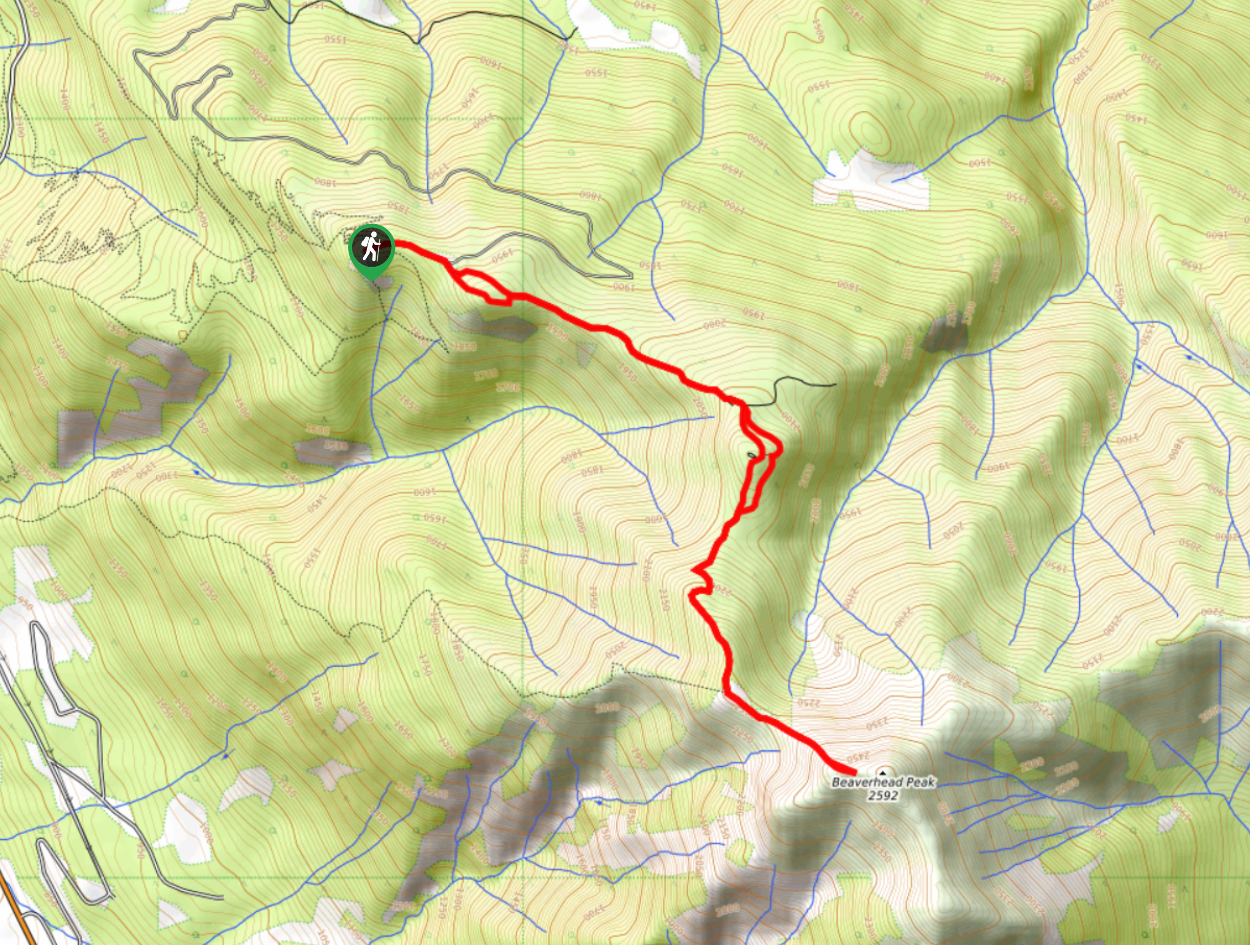
Mount 7 Trail
The Mount 7 Trail is a 5.6mi out-and-back hiking route near Golden, BC, that sets out from a…
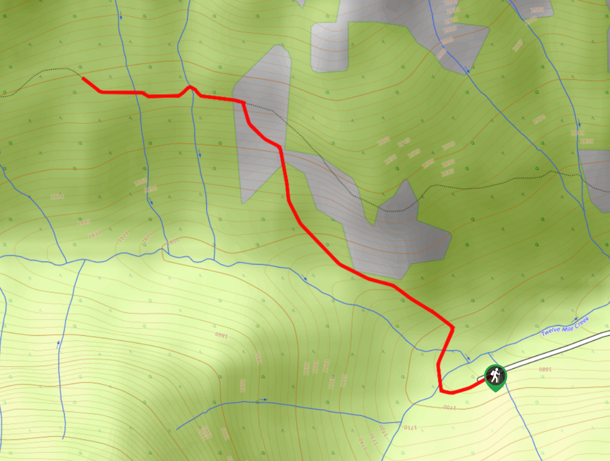
Upper Certainty Mine Trail
The Upper Certainty Mine Trail is a 1.9mi out-and-back hiking route that will take you through some beautiful…
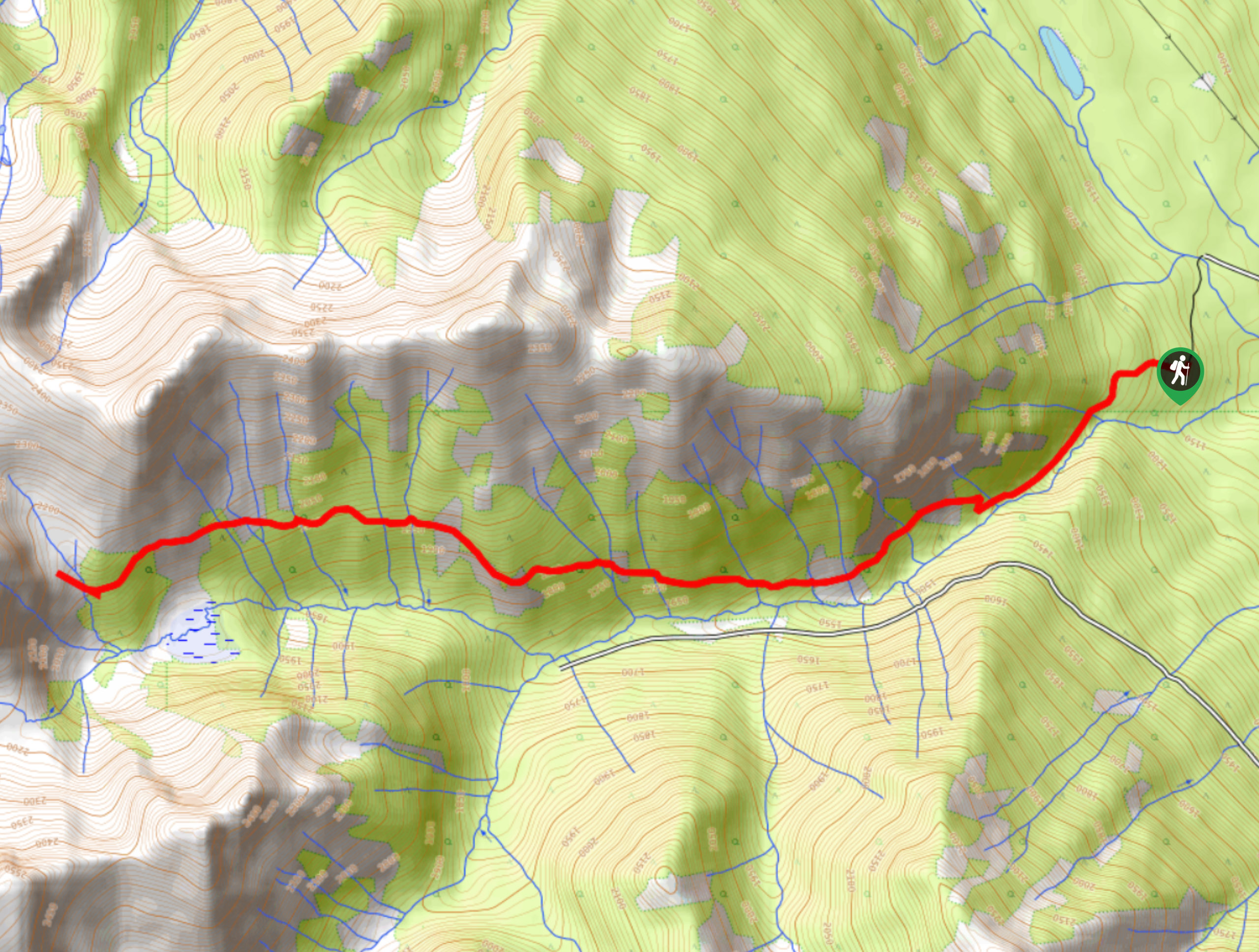
Lower Certainty Mine Trail
The Lower Certainty Mine Trail is a 6.0mi out-and-back hiking route near Golden, BC, that climbs through the…


Comments