

Transhumance Trail
View PhotosTranshumance Trail
Difficulty Rating:
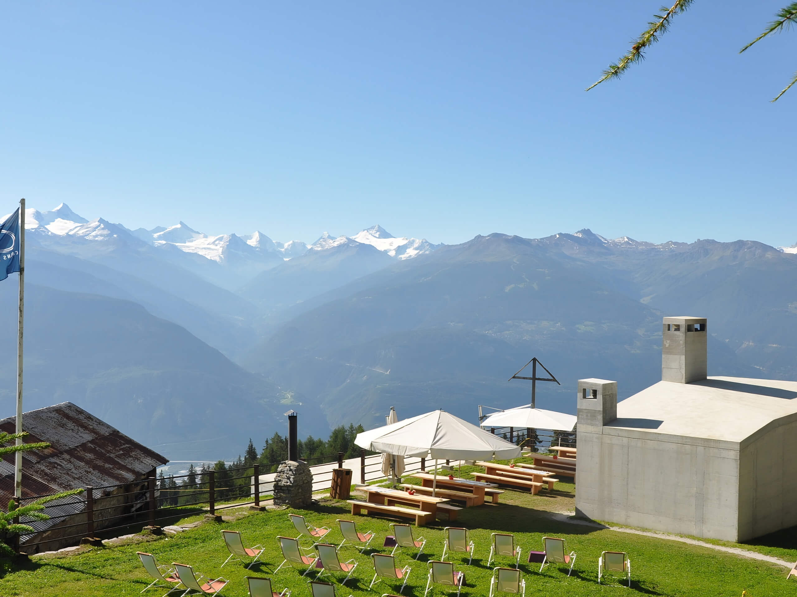
The Transhumance Trail allows hikers to travel in the footsteps of the historical people of Crans Montana by visiting the villages, mayens (small alpine chalets) and alpine pastures where they spent their time. Although long, this hiking route offers beautiful mountain scenery that can’t be beat!
Getting there
To reach Crans-Montana by car, take the exit of the A9 motorway (Rhône motorway) called "Sierre ouest". At the motorway exit, turn left and follow the signs for "Sierre". At the roundabout, turn right. Continue for 1640ft, then at the entrance to Sierre, turn left following the signs for "Crans-Montana". The journey takes about 20 minutes. Once you arrive in Crans-Montana, follow the signs for the Forum d'Ycoor and then Stéphanie car park.
About
| When to do | May-October |
| Pets allowed | Yes - On Leash |
| Family friendly | No |
| Route Signage | Average |
| Crowd Levels | Moderate |
| Route Type | One Way |
Transhumance Trail
Elevation Graph
Weather
Route Description for Transhumance Trail
Setting out from the starting point of the Transhumance Trail, you will make your way to the northeast while taking in the beautiful scenery at the various viewpoints along the way. After reaching Cave du Sex, the trail will turn to the south through Aminona and descend further to the southeast until you reach the endpoint of the route in Salgesch.
Similar hikes to the Transhumance Trail hike

The Centipede Path
In Crans-Montana, everything is just a step away, and the incredible views of the surrounding Alps can be taken in…

Crans Montana 100th Anniversary Walk
The Crans Montana 100th Anniversary Walk was signposted to commemorate the history of the Crans Montana tourist resort in 1993.…

Land of Faith Hike
The Land of Faith Hike is a charming adventure in Crans Montana that will allow you to visit several religious…


Comments