


Chemin des Contrées Hike
View PhotosChemin des Contrées Hike
Difficulty Rating:
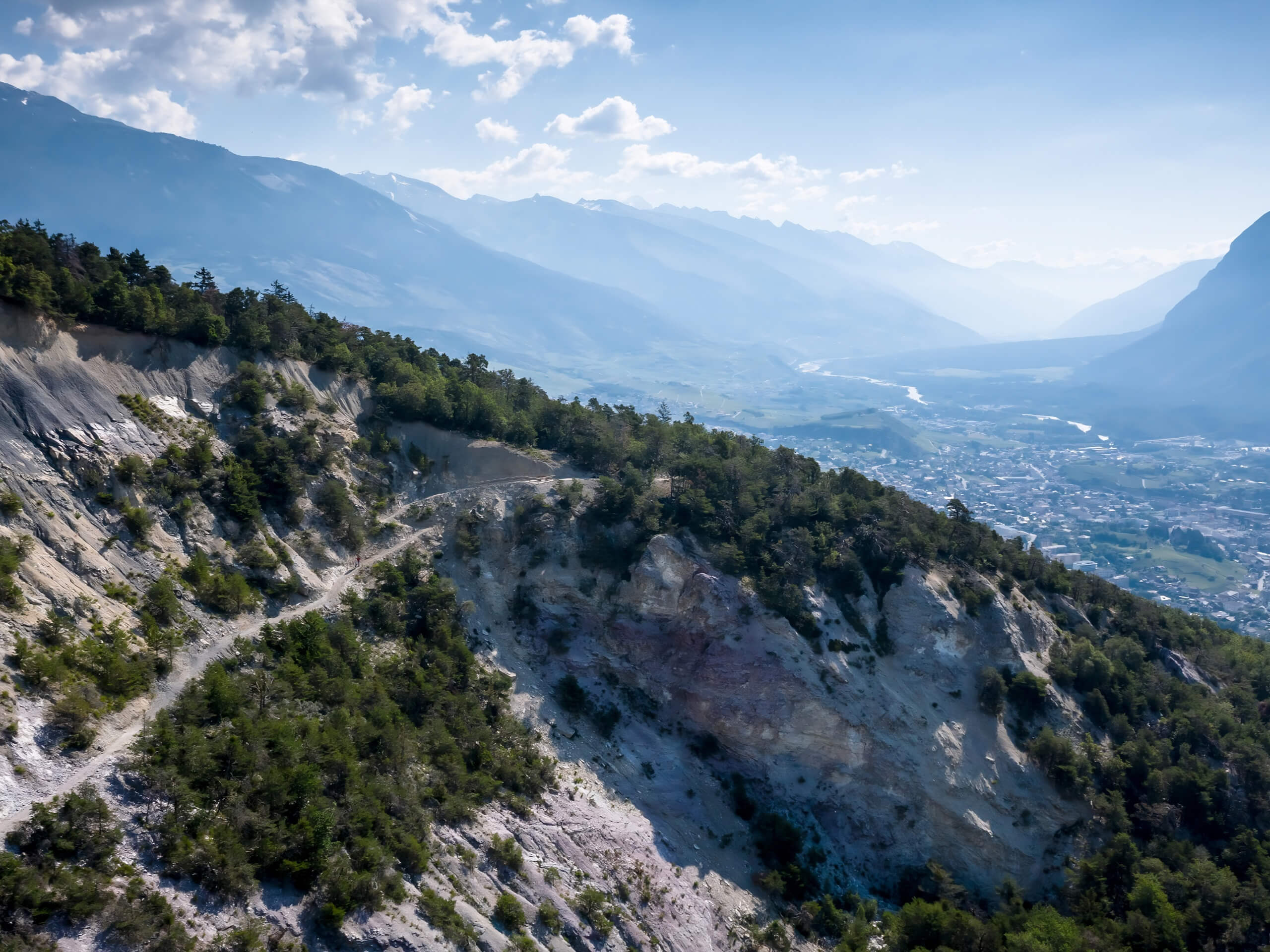
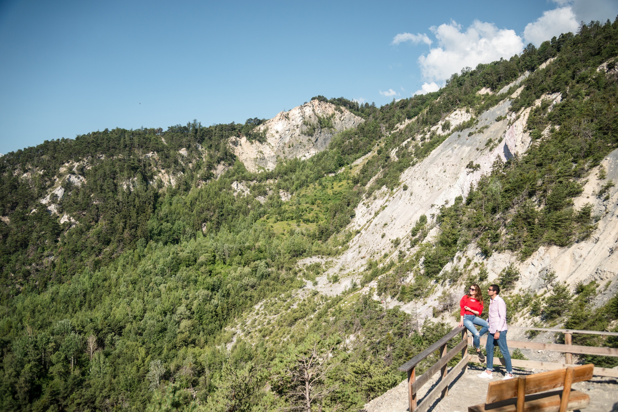
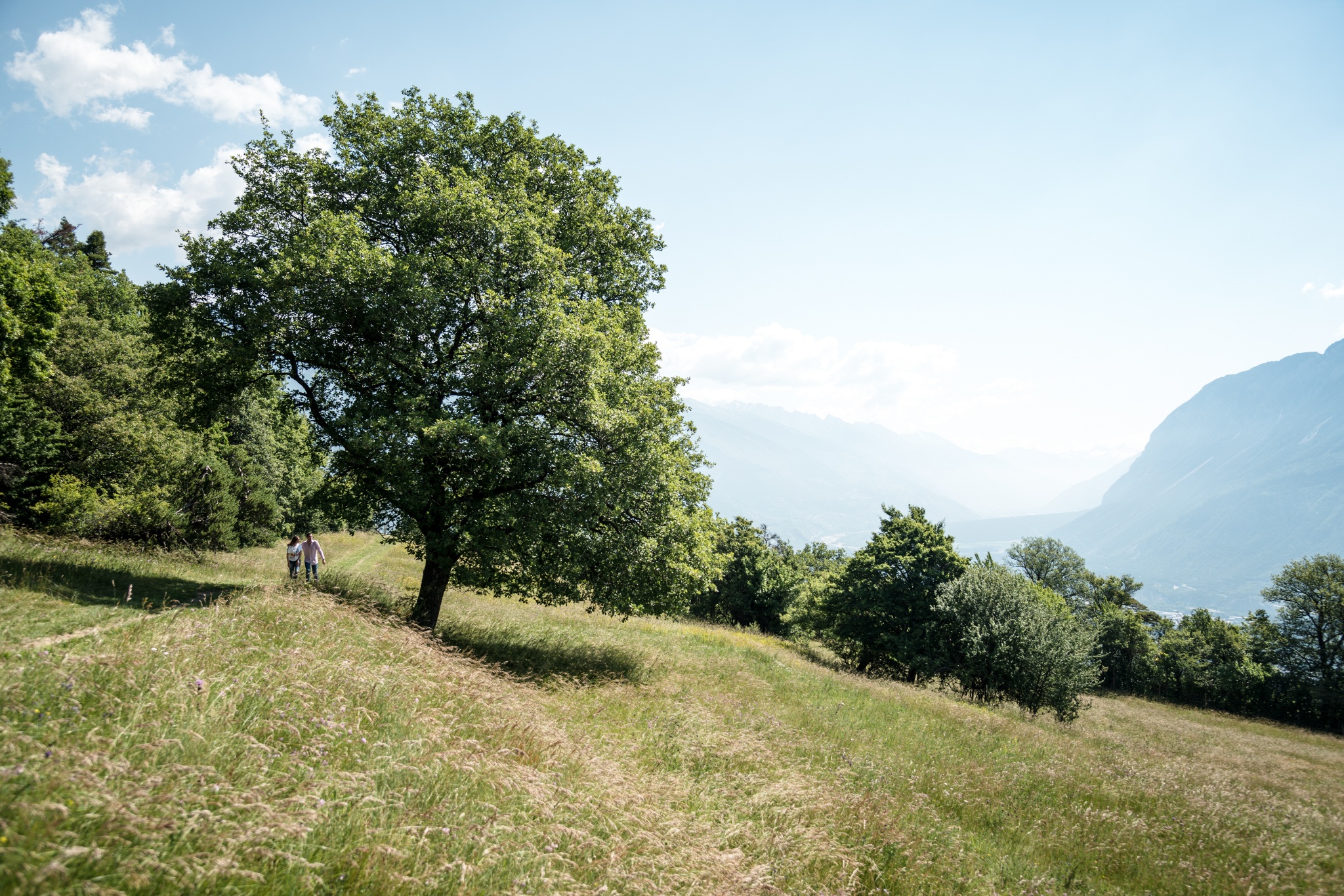
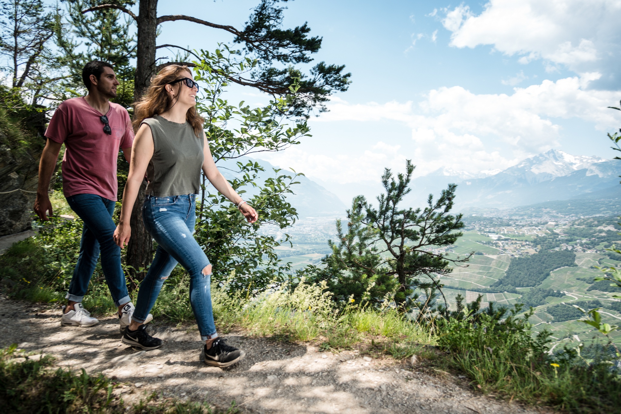
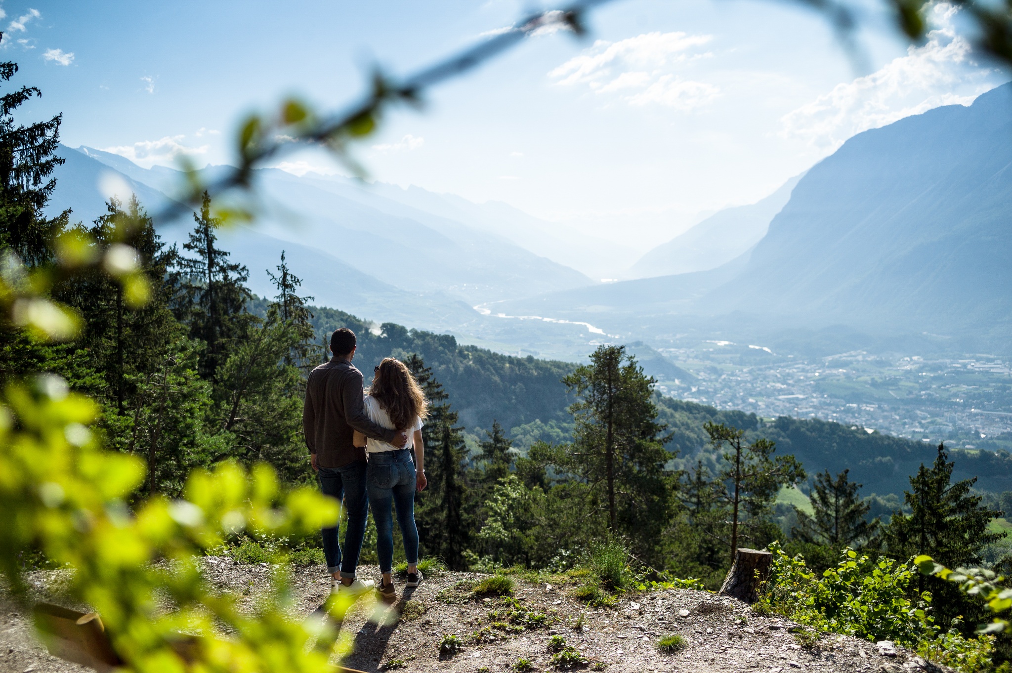
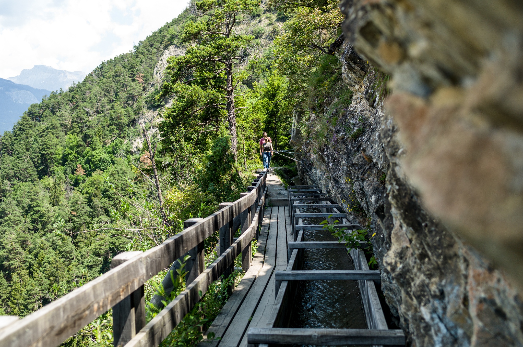
The Chemin des Contrées Hike is an easy and mostly flat route at an altitude of 3281ft that traverses extraordinary wild surroundings. Punctuated by forests, scree, and streams, this hike offers breathtaking viewpoints throughout and includes a series of information panels that enable walkers to explore the wealth of history in the region through the lens of its local inhabitants.
Getting there
To reach Mollens by car, take the exit of the A9 motorway (Rhône motorway) called "Sierre Est". Follow the signs for "Crans-Montana". The journey takes about 20 minutes until Mollens.
About
| When to do | May-December |
| Pets allowed | Yes - On Leash |
| Family friendly | Older Children only |
| Route Signage | Average |
| Crowd Levels | Moderate |
| Route Type | One Way |
Chemin des Contrées Hike
Elevation Graph
Weather
Route Description for Chemin des Contrées Hike
Setting out from Mollens, the Chemin des Contrées Hike will take you past a variety of historic buildings such as the chapel, the Maison Bourgeoisiale, and the communal building in Mollens. The parish church of St-Maurice de Laques, which has Medieval origins, was once an important place of worship in the area and allows walkers to contemplate over 750 years of history!
Continuing along the trail, you will pass by a number of informative signs that tell of the cultural and geological history of the region, before arriving at the endpoint of the route in Icogne.
Similar hikes to the Chemin des Contrées Hike hike

The Centipede Path
In Crans-Montana, everything is just a step away, and the incredible views of the surrounding Alps can be taken in…

Crans Montana 100th Anniversary Walk
The Crans Montana 100th Anniversary Walk was signposted to commemorate the history of the Crans Montana tourist resort in 1993.…

Land of Faith Hike
The Land of Faith Hike is a charming adventure in Crans Montana that will allow you to visit several religious…



Comments