

The South West Coast Path: Portreath to St Ives
View PhotosThe South West Coast Path: Portreath to St Ives
Difficulty Rating:
Walking the South West Coast Path: Portreath to St Ives is a fantastic adventure along the Cornish coast that may be long, but also offers some amazing views of the seaside. While out walking the trail, you will traverse the coast and make your way along the banks of the River Hayle before finishing off in the charming town of St Ives. Plan ahead and make your travel arrangements for the end of this lengthy one-way trail.
Getting there
To access the South West Coast Path: Portreath to St. Ives trailhead from Paynters Lane End, head west on Alexandra Road for 1.4mi and turn right to continue on for 130ft. Make a slight right onto Tregea Hill/B3301 and follow it for 0.6mi to arrive at the starting point of the walk.
About
| Backcountry Campground | No |
| When to do | Year-Round |
| Pets allowed | Yes - On Leash |
| Family friendly | No |
| Route Signage | Average |
| Crowd Levels | Low |
| Route Type | One Way |
The South West Coast Path: Portreath to St Ives
Elevation Graph
Weather
Portreath to St Ives Trail Description
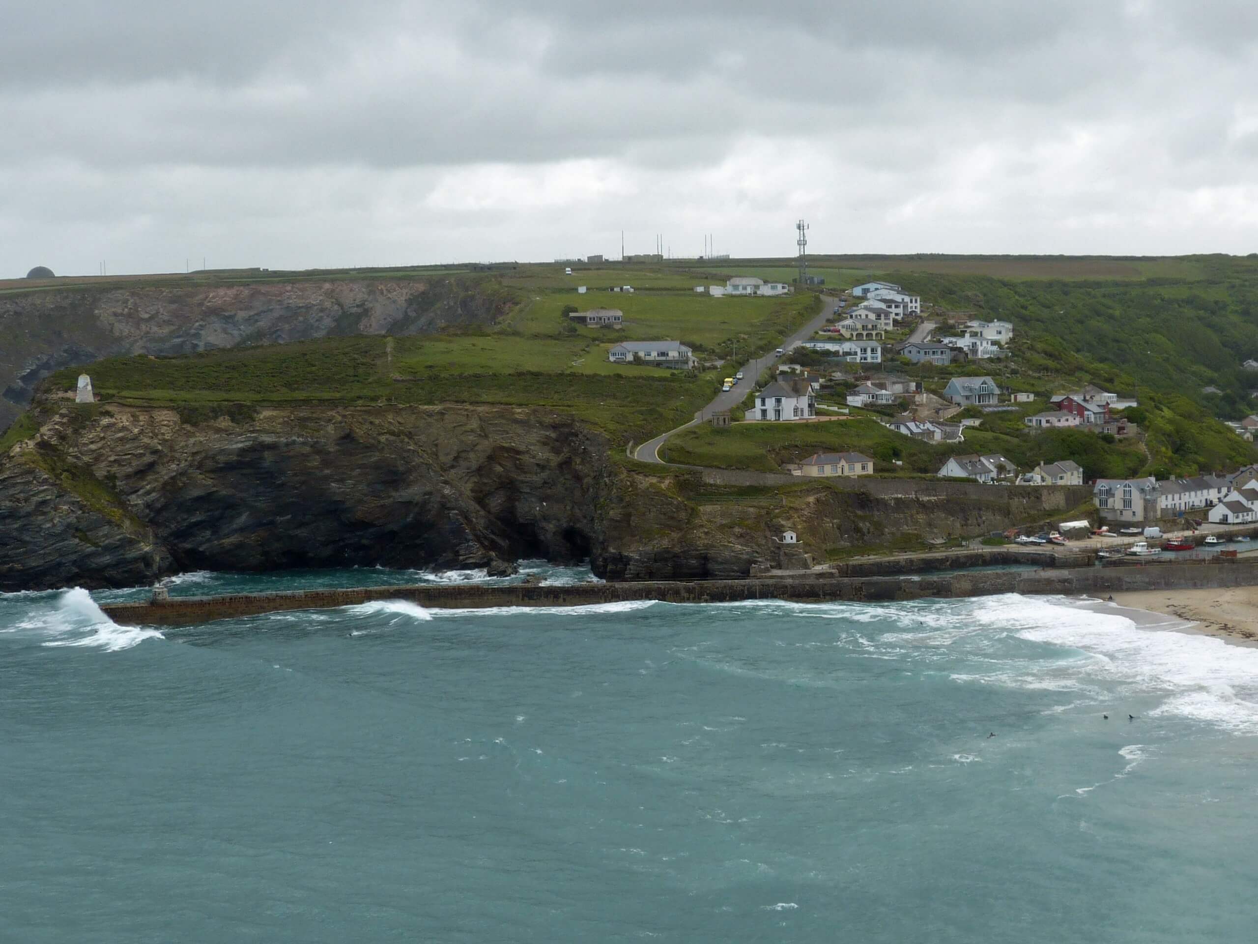
If you are looking to give your legs a workout along a lengthy trail while taking in stunning views of the Atlantic Ocean, then the South West Coast Path: Portreath to St Ives is a great way to explore the natural beauty of the Cornish coast. A number of secluded coves and picturesque seaside towns can be found along the route, making for a pleasant journey along the water’s edge – as long as you are able to handle the overall distance!
Setting out from the trailhead in Portreath, you will make your way to the southwest and climb up the hillside in order to traverse the coastal cliff tops that offer breathtaking views of the ocean. After working around the Navax and Godrevy points while taking in views of the lighthouse, you will continue on to the southwest to traverse the banks of the River Hayle. This portion of the walk is a bit more developed, as you will explore the seaside towns of Hayle, Carbis Bay, and St Ives before arriving at the end point of the walk at the beautiful sands of Porthmeor Beach.
Similar hikes to the The South West Coast Path: Portreath to St Ives hike

Restronguet Passage Circular Walk
The Restronguet Passage Circular Walk is a fantastic outdoor excursion in Cornwall that offers beautifully scenic views overlooking a number…

Crantock and The Gannel Circular Walk
The Crantock and The Gannel Circular Walk is a beautifully scenic adventure near Newquay, Cornwall that will lead you through…

Egloshayle Circular Walk
The Egloshayle Circular Walk is a great outdoor excursion set in the Cornish countryside that will expose you to a…


Comments