

St Ives to Zennor Walk
View PhotosSt Ives to Zennor Walk
Difficulty Rating:
The St Ives to Zennor Walk is an amazing adventure in Cornwall that will take you along a challenging but beautifully scenic stretch of the coast. While out walking this long distance trail, you will leave St Ives behind to explore the various coves and headlands along the Cornish Sea, circling back across the open countryside after visiting Zennor Beach and Porthzennor Cove. The route may be long, but the gorgeous views are well worth the effort.
Getting there
The trailhead for the St Ives to Zennor Walk can be found at the car park next to Porthgwidden beach in St Ives, just off Burrow Road.
About
| Backcountry Campground | No |
| When to do | Year-round |
| Pets allowed | Yes - On Leash |
| Family friendly | Older Children only |
| Route Signage | Average |
| Crowd Levels | Moderate |
| Route Type | Circuit |
St Ives to Zennor Walk
Elevation Graph
Weather
St Ives to Zennor Walk Description
If you are up for a bit of a long distance challenge and want to experience some of the most picturesque scenery and terrain that the Cornish Coast has to offer, then you will certainly want to check out the St Ives to Zennor Walk in the southwest of England.
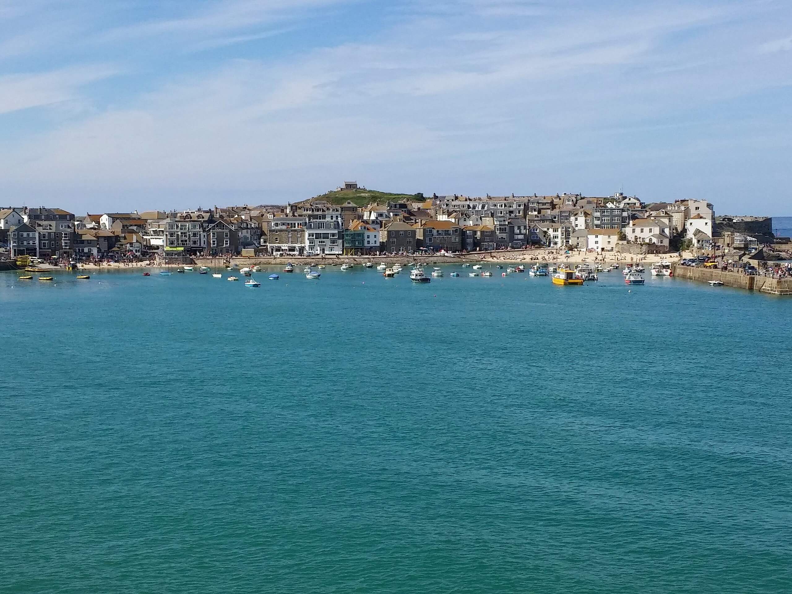
Setting out from the lovely town of St Ives, you will head west past Porthmeor Beach and climb uphill along the rugged coastal terrain. Here, you will walk above secluded coves, pass by historic ruins, and look out onto hidden beaches, all while enjoying some spectacular views across the blue sea.
Eventually, you will pass by the scenic Zennor Beach and arrive at Porthzennor Cove, which offers some more beautiful views across the water and marks the terminus of the route. From here, you will climb uphill to the southeast to reach the Tinners Arms, which is a great place for mid-walk refreshments. After refueling, you will head to the northeast and cut across the picturesque Cornish countryside, enjoying the scenic views of the surrounding farmland as you make the long journey back to St Ives where you started.
Similar hikes to the St Ives to Zennor Walk hike

Restronguet Passage Circular Walk
The Restronguet Passage Circular Walk is a fantastic outdoor excursion in Cornwall that offers beautifully scenic views overlooking a number…

Crantock and The Gannel Circular Walk
The Crantock and The Gannel Circular Walk is a beautifully scenic adventure near Newquay, Cornwall that will lead you through…

Egloshayle Circular Walk
The Egloshayle Circular Walk is a great outdoor excursion set in the Cornish countryside that will expose you to a…


Comments