

St Clement and Malpas Walk
View PhotosSt Clement and Malpas Walk
Difficulty Rating:
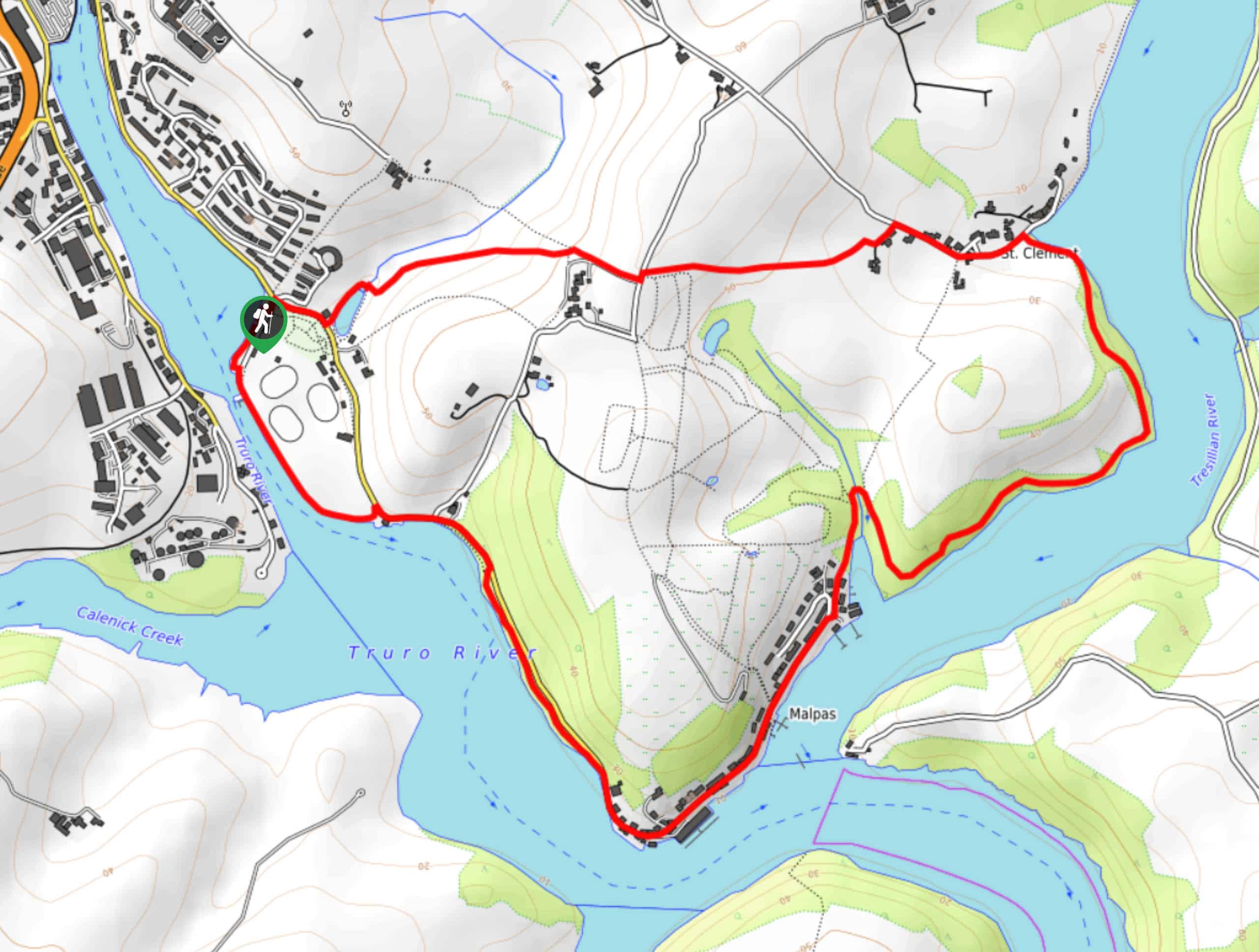
The St Clement and Malpas Walk is a scenic riverside journey in Cornwall that will take you through charming villages and a variety of terrain along the banks of two rivers. While out walking the trail, you will walk along the banks of the River Truro to its confluence with the Tresillian River, before heading through the charming villages of Malpas and St Clement. This is a wonderful adventure if you are looking for a relaxing stroll by the water’s edge.
Getting there
The trailhead for the St Clement and Malpas Walk can be found just off Malpas Road at the car park for Boscawen Park.
About
| Backcountry Campground | No |
| When to do | Year-Round |
| Pets allowed | Yes - On Leash |
| Family friendly | Yes |
| Route Signage | Average |
| Crowd Levels | Moderate |
| Route Type | Circuit |
St Clement and Malpas Walk
Elevation Graph
Weather
St Clement and Malpas Walk Description
Featuring stunning views of two rivers and a mixture of woodland and open farmland terrain, the St Clement and Malpas Walk is the perfect walking route for a relaxing waterside stroll in Cornwall. Don’t forget to pop into The Heron Inn outside of Malpas for some mid-walk food and drink.
Setting out from the car park, you will make your way to the southeast, skirting around the edge of Boscawen Park and the Truro Cricket Club while taking in views across the River Truro. After reaching the southernmost point of the walk at the confluence of the River Truro and Tresillian River, you will make your way into the charming village of Malpas.
From the village, you will make your way to the northeast along the banks of the Tresillian River, enjoying the views across the water as you make your way towards the village of St Clement. After visiting the popular tourist site of the St Clement Holy Well, you will make your way through the village and head west, traversing the picturesque Cornish countryside on the way back to the car park where you began your adventure.
Similar hikes to the St Clement and Malpas Walk hike

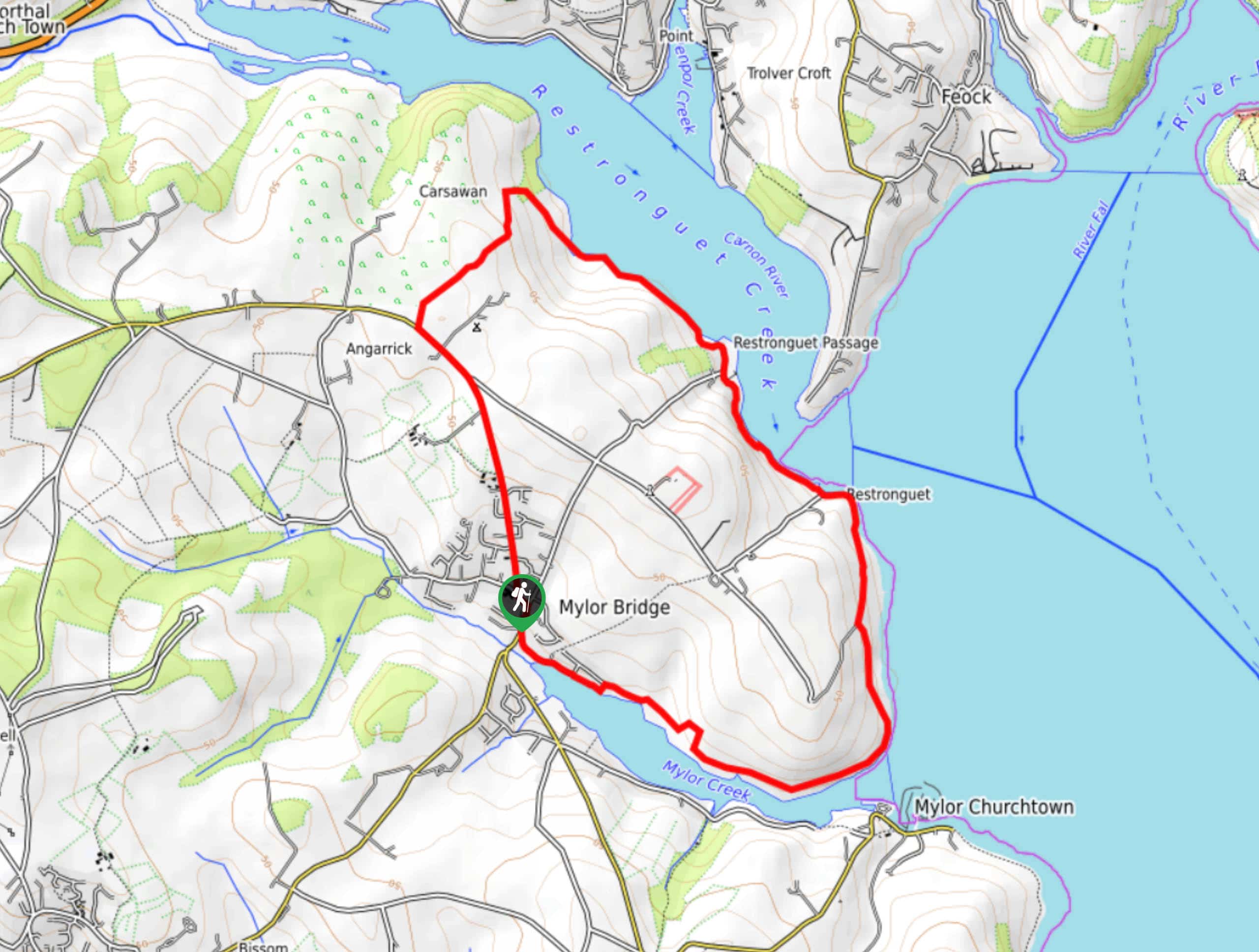
Restronguet Passage Circular Walk
The Restronguet Passage Circular Walk is a fantastic outdoor excursion in Cornwall that offers beautifully scenic views overlooking a number…

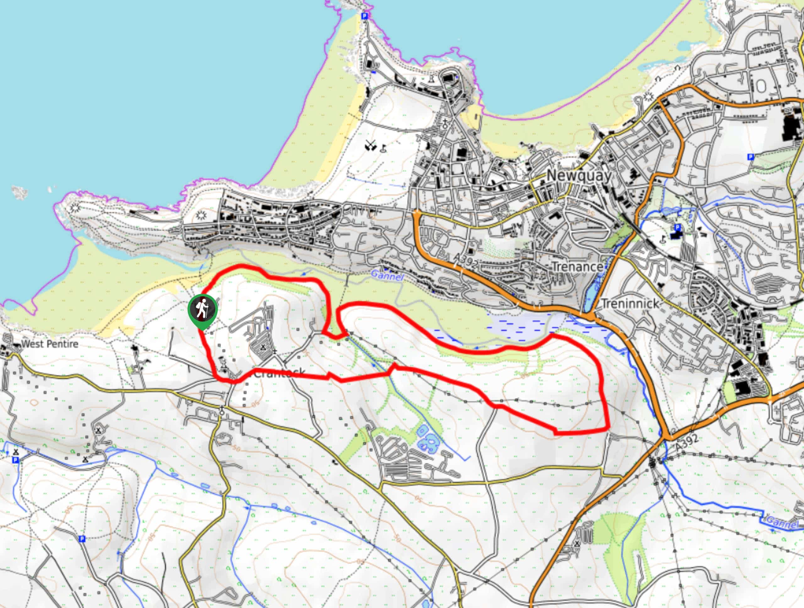
Crantock and The Gannel Circular Walk
The Crantock and The Gannel Circular Walk is a beautifully scenic adventure near Newquay, Cornwall that will lead you through…

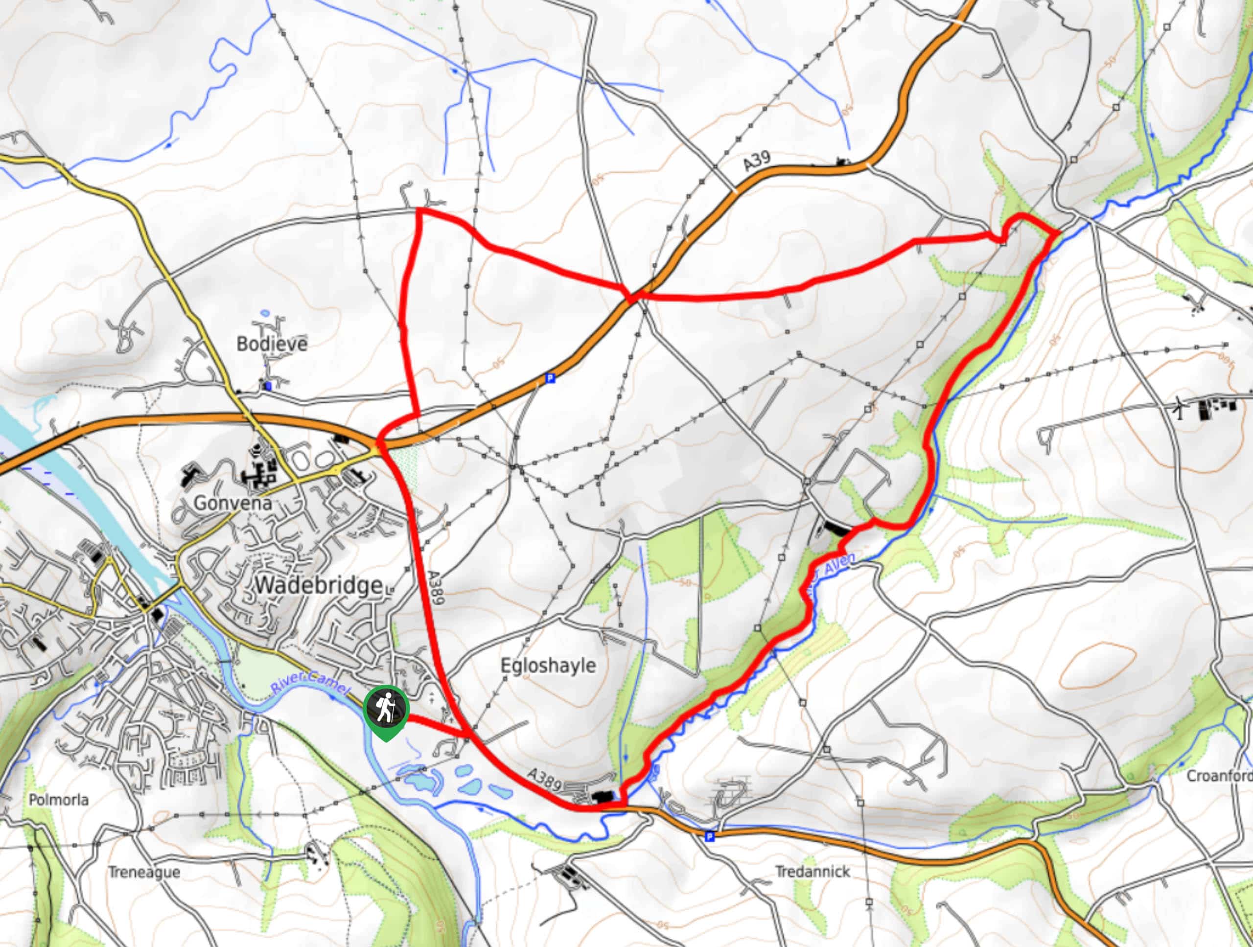
Egloshayle Circular Walk
The Egloshayle Circular Walk is a great outdoor excursion set in the Cornish countryside that will expose you to a…


Comments