

South West Coast Path: Tintagel to Pentireglaze
View PhotosSouth West Coast Path: Tintagel to Pentireglaze
Difficulty Rating:
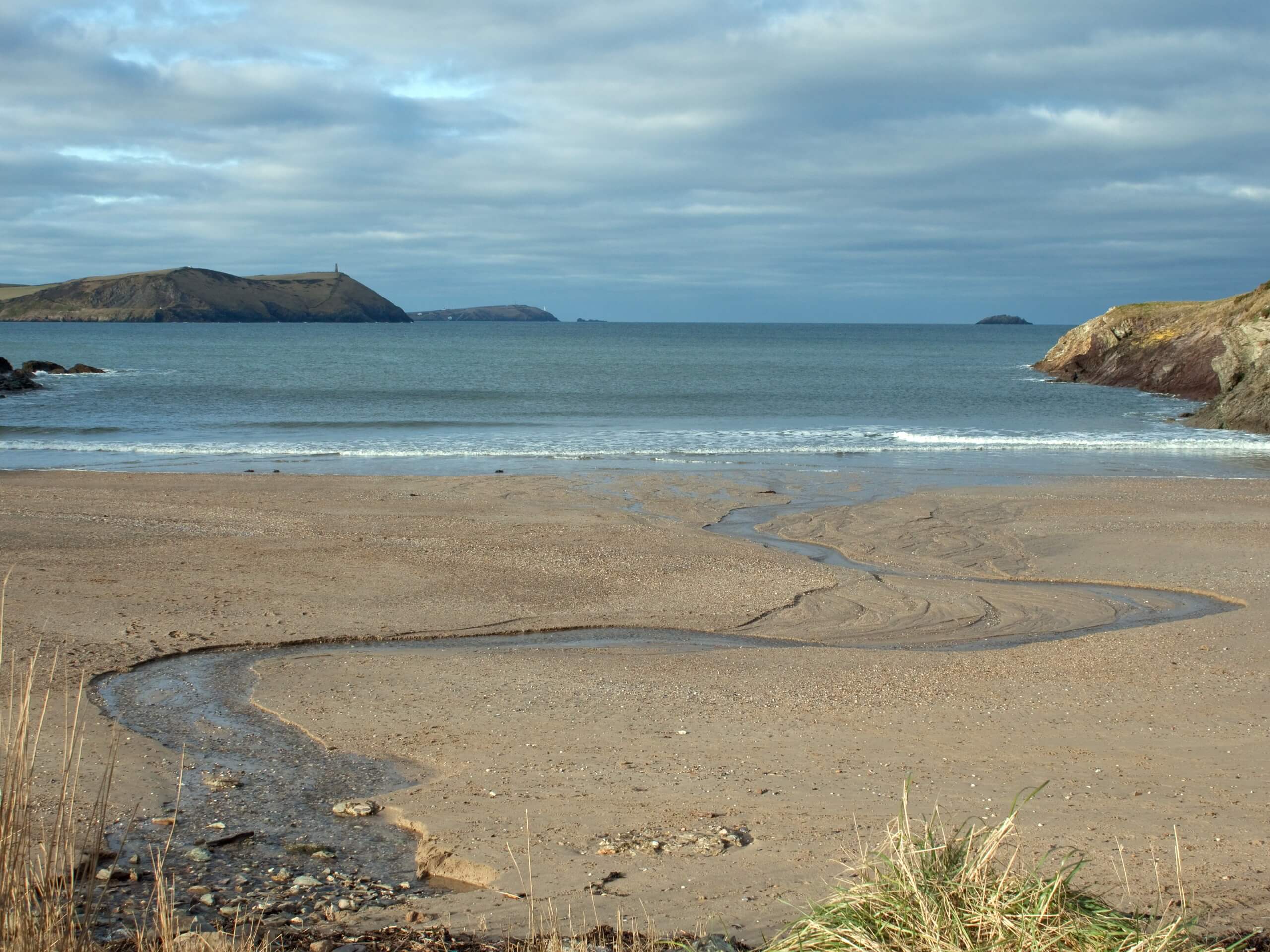
The South West Coast Path: Tintagel to Pentireglaze is a fantastic seaside adventure in the southwest corner of England that offers beautiful views of the Atlantic Ocean. While out walking the trail, you will traverse the rugged terrain of the coast and pass by charming villages along the edge of the water that offer the perfect place to sit out and enjoy the views. What a wonderful way to spend a day outdoors!
Getting there
To reach the South West Coast Path: Tintagel to Pentireglaze from Treknow, head north for 0.3mi and continue west on foot across the open countryside to get to the path along the coast.
About
| Backcountry Campground | No |
| When to do | Year-Round |
| Pets allowed | Yes - On Leash |
| Family friendly | Older Children only |
| Route Signage | Average |
| Crowd Levels | Moderate |
| Route Type | One Way |
South West Coast Path: Tintagel to Pentireglaze
Elevation Graph
Weather
Tintagel to Pentireglaze Trail Description
Beautifully scenic views and charming coastal villages await on the South West Coast Path: Tintagel to Pentireglaze. While this adventure may be long and does feature several climbs, it is easily manageable for casual walkers that are looking to try their hand at a bit of a longer route. There are even a few cafes and pubs along the way to stop in for some mid-walk refreshments!
Setting out from the trailhead, you will make your way along the edge of the coast in a southwestern direction, descending the hillside into the seaside village of Trebarwith Strand. Here, you will find The Strand Cafe, as well as the Port William Pub. Continue on to the southwest and climb back uphill, enjoying the views across the Atlantic Ocean as you traverse the undulating landscape of the Cornwall AONB.
After passing Port Gaverne Beach and exploring the shoreline around Port Isaac, you will continue on walking along the coves and bays that make up the beautiful English coast. Once you have made your way through Port Quin, keep steady along the final leg of the journey that will allow you to experience the beautiful and secluded Lundy Bay before arriving at the end point of the walk in Pentireglaze.
Similar hikes to the South West Coast Path: Tintagel to Pentireglaze hike

Restronguet Passage Circular Walk
The Restronguet Passage Circular Walk is a fantastic outdoor excursion in Cornwall that offers beautifully scenic views overlooking a number…

Crantock and The Gannel Circular Walk
The Crantock and The Gannel Circular Walk is a beautifully scenic adventure near Newquay, Cornwall that will lead you through…

Egloshayle Circular Walk
The Egloshayle Circular Walk is a great outdoor excursion set in the Cornish countryside that will expose you to a…


Comments