

South West Coast Path: Portloe to Mevagissey
View PhotosSouth West Coast Path: Portloe to Mevagissey
Difficulty Rating:
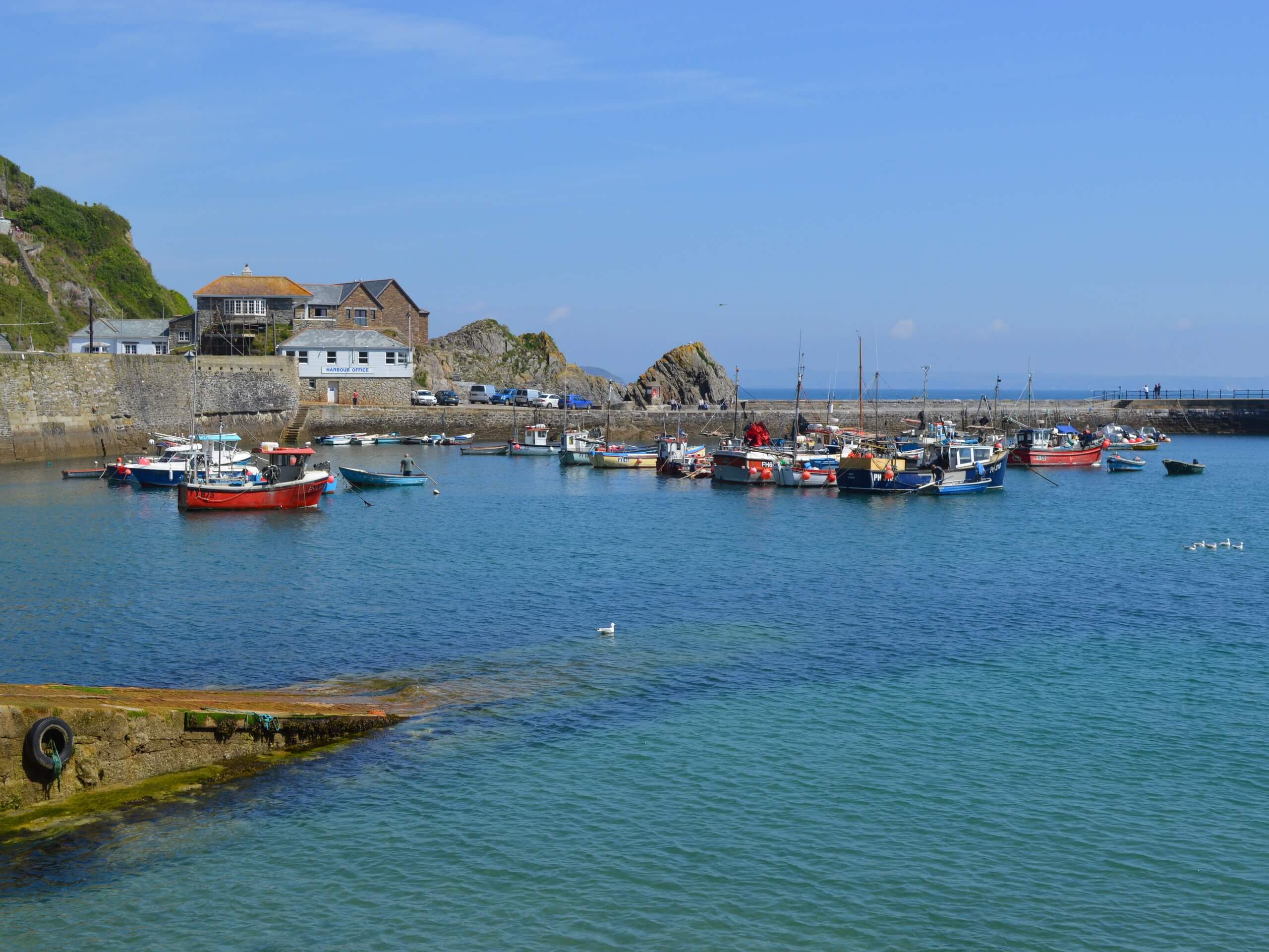
Walking the South West Coast Path: Portloe to Mevagissey trail is a challenging portion of this famous long-distance route that will provide beautiful views of the ocean. While out on the trail, you will climb uphill along the rocky cliffs that characterize this part of the coast and traverse several points before completing the final leg into Mevagissey. The elevation gain is more or less spread throughout the entire route, so be prepared for a bit of a leg burn.
Getting there
To reach the South West Coast Path: Portloe to Mevagissey trailhead from nearby Veryan, drive northeast on Green Lane for 1.6mi and turn right. Continue on for 0.8mi and turn left to reach the starting point of the walk.
About
| Backcountry Campground | No |
| When to do | Year-Round |
| Pets allowed | Yes - On Leash |
| Family friendly | No |
| Route Signage | Average |
| Crowd Levels | Low |
| Route Type | One Way |
South West Coast Path: Portloe to Mevagissey
Elevation Graph
Weather
Portloe to Mevagissey Trail Description
If you are looking for a bit of a challenge on your walk that involves some uphill climbing along the coast, then the South West Coast Path: Portloe to Mevagissey is a great option to get some great exercise and experience the beauty of Cornwall. Be sure to wear sturdy walking boots, as you will need good traction in order to traverse the undulating terrain here. Additionally, you will need to arrange a pick up at the end point of the walk in Mevagissey or plan to use public transit, as this is a one-way adventure.
Setting out from the trailhead in Portloe, you will head to the northeast and work your way along the rugged terrain of the coast, climbing uphill at several points for some beautiful views across the water, before making a descent into East Portholland. From here, you will continue along the trail to the east, climbing uphill to pass by Caerhays Castle.
After a quick descent, you will make your way along Porthluney Beach and climb back up the hillside to traverse the rugged landscape along Dodman Point. Here, you will make your way northeast along the coast, passing by several scenic coves and the village of Gorran Haven before completing the final leg of the walk into Mevagissey.
Similar hikes to the South West Coast Path: Portloe to Mevagissey hike

Egloshayle Circular Walk
The Egloshayle Circular Walk is a great outdoor excursion set in the Cornish countryside that will expose you to a…

Rilla Mill Walk
The Rilla Mill Walk is a scenic journey through the Cornish countryside that passes through charming villages and features a…

Gorran Haven to Dodman Point Loop
The Gorran Haven to Dodman Point Loop is a beautifully scenic coastal journey in Cornwall that offers breathtaking views of…


Comments