

South West Coast Path: Crackington Haven to Tintagel
View PhotosSouth West Coast Path: Crackington Haven to Tintagel
Difficulty Rating:
Walking the South West Coast Path: Crackington Haven to Tintagel is a beautifully scenic portion of a much longer trail that will take you around the southwest corner of England. While out on the trail, you will enjoy views of the Cornish coastline, as you meander through the Cornwall AONB on the way to the supposed birthplace of King Arthur. This is a one-way trail, so make sure to have your travel arrangements sorted before heading out on your adventure.
Getting there
To reach the South West Coast Path: Crackington Haven to Tintagel trailhead from the nearby village of Crackington, head northwest for 0.7mi and continue straight onto Mill Ball Hill for another 0.2mi, turning right to enter the car park.
About
| Backcountry Campground | No |
| When to do | Year-Round |
| Pets allowed | Yes - On Leash |
| Family friendly | Older Children only |
| Route Signage | Average |
| Crowd Levels | High |
| Route Type | One Way |
South West Coast Path: Crackington Haven to Tintagel
Elevation Graph
Weather
Crackington Haven to Tintagel Trail Description
If you are looking to experience the natural beauty of the rugged Cornish coastline, then the South West Coast Path: Crackington Haven to Tintagel is a great way to do so. Featuring dramatic cliffs, stunning seaside views, charming villages, and the chance to visit the supposed birthplace of King Arthur, this wonderfully scenic adventure is sure to create some lasting memories for you and anyone else in your walking party. This is a long-distance walk, so be sure to come prepared with proper footwear and plenty of supplies like water and snacks.
Setting out from the trailhead in Crackington Haven, you will head to the southwest along the edge of the water to begin climbing uphill for some absolutely breathtaking views across the Atlantic Ocean. After traversing the undulating terrain along the shoreline and passing by the Museum of Witchcraft in Boscastle, you will continue to make your way along the cliffs and coves that characterize the coast on the lead up to Tintagel.
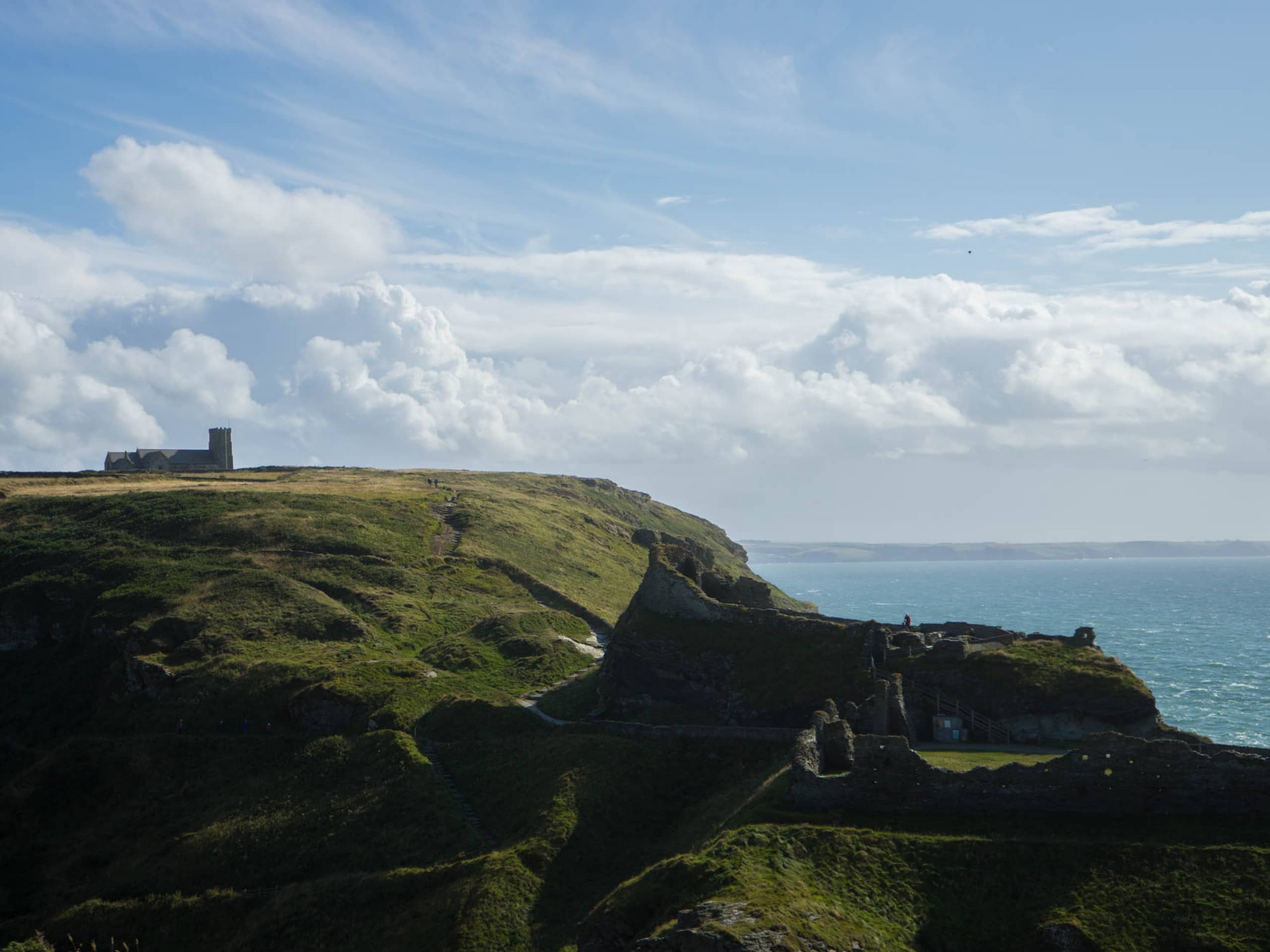
Here, you will make your way along the most heavily-populated portion of the trail, as many tourists will be out and about exploring the area where King Arthur was supposed to have been born. If you so wish, you can visit Tintagel Castle and cross over the bridge onto the nearby island to visit Merlin’s Cave and the Statue of King Arthur. Continuing along the trail, you will leave the throngs of tourists behind, as you make your way to the southwest to pass by the Tintagel Youth Hostel en route to the trail’s end.
Similar hikes to the South West Coast Path: Crackington Haven to Tintagel hike

Restronguet Passage Circular Walk
The Restronguet Passage Circular Walk is a fantastic outdoor excursion in Cornwall that offers beautifully scenic views overlooking a number…

Crantock and The Gannel Circular Walk
The Crantock and The Gannel Circular Walk is a beautifully scenic adventure near Newquay, Cornwall that will lead you through…

Egloshayle Circular Walk
The Egloshayle Circular Walk is a great outdoor excursion set in the Cornish countryside that will expose you to a…


Comments