

Portscatho to Pendower Beach Walk
View PhotosPortscatho to Pendower Beach Walk
Difficulty Rating:
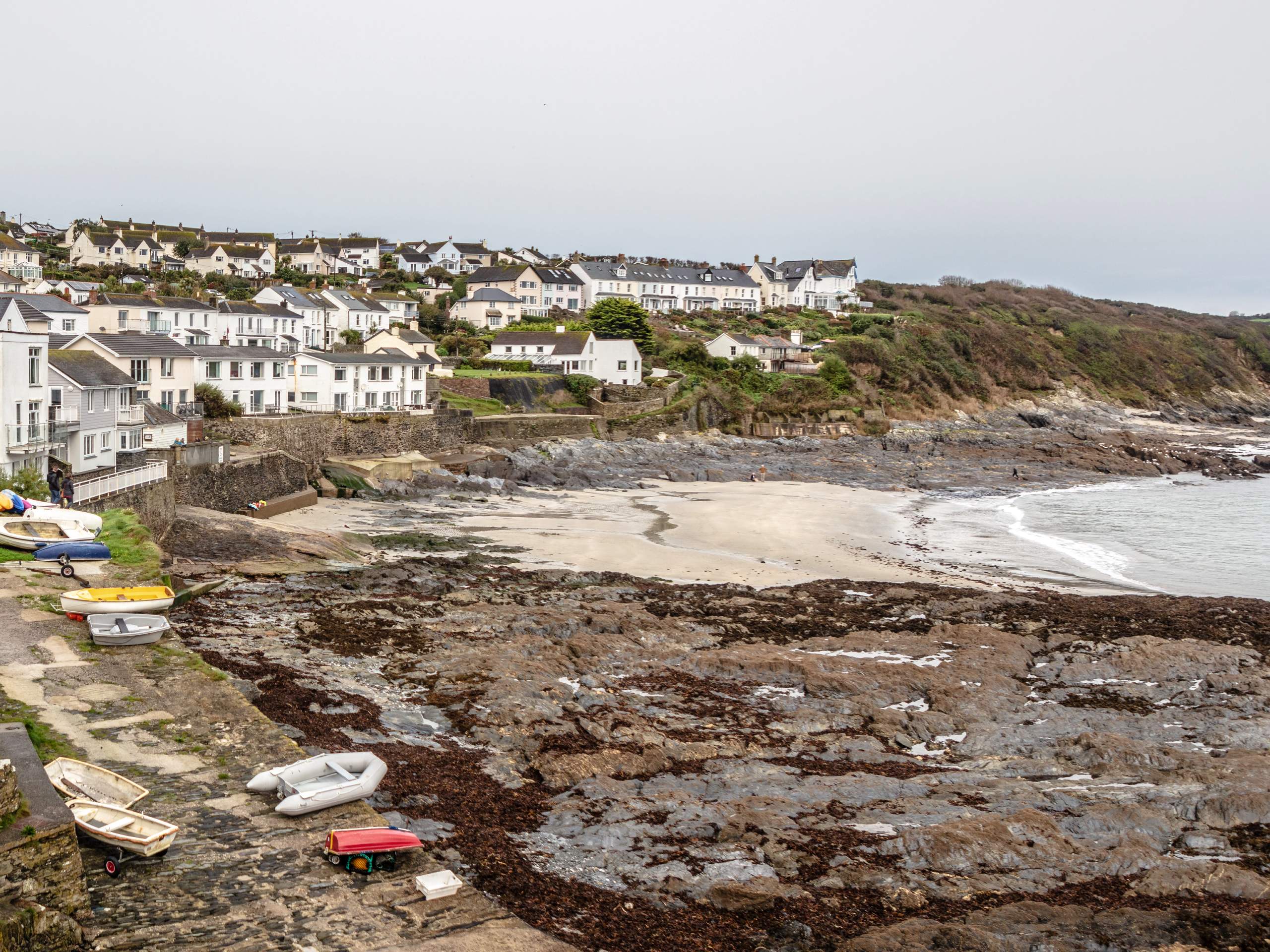
The Portscatho to Pendower Beach Walk is a 4.8mi adventure along the coast of Cornwall that will take you to several beaches and provide views of the sea. While out walking the trail, you will leave the village of Portscatho behind to traverse the rugged coastal landscape on the way to the Porthcurnick, Porthbean, and Pendower beaches. This is a fantastic walking route that offers exceptional views of the English Channel and can easily be tacked on to a fun trip to the beach!
Getting there
The trailhead for the Portscatho to Pendower Beach Walk can be found at the New Road Car Park in Portscatho.
About
| Backcountry Campground | No |
| When to do | Year-Round |
| Pets allowed | Yes - On Leash |
| Family friendly | Yes |
| Route Signage | Average |
| Crowd Levels | High |
| Route Type | Lollipop |
Portscatho to Pendower Beach Walk
Elevation Graph
Weather
Portscatho to Pendower Beach Walk Description:
The Portscatho to Pendower Beach Walk passes through an area that is popular with both beach goers and walking enthusiasts alike, so you will likely need to arrive early to secure parking at the trailhead. Additionally, you should try to remember to pack your swimwear if you feel like spending some time by the water after your walk!
Even though the area will likely be buzzing with walkers and beach goers, this is still a fantastic adventure that will allow you to get outdoors and reconnect with nature. In addition to getting a spot of exercise, you will also enjoy some spectacular views of the Cornish Coast and English Channel, which are more than worth the effort in getting there.
Setting out from the New Road Car Park, pick up the trail leading to the northeast and follow it through the light tree cover. Continue along the path for the next 0.3mi, where you will pass by Porthcurnick Beach and meet up with a lane leading around the Hidden Hut Takeout building. Follow the track for a short distance as it turns to the east to meet up with a road, at which point you will cross over to the opposite side and pick up a footpath.
Keeping straight along this footpath for the next 2.1mi, you will enjoy spectacular views of the English Channel as you work your way along the coast, passing by Pednvaden and Porthbean Beach, before arriving at a junction with a road. While this marks the northeastern most point of the route, keen walkers can head right along the road for a short distance in order to reach Pendower Beach.
Backtracking along the trail for 0.9mi, you will head right at a junction that will take you uphill along the coastal terrain to meet up with another road. Turning left here, you will follow the road to the southwest for 1.0mi, enjoying the scenic views of the surrounding farmland before arriving back at Porthcurnick Beach. At this point, you can choose to either spend some time lounging around by the beach, or retrace your steps along the initial stretch of your journey in order to arrive back at the car park where you started the Portscatho to Pendower Beach Walk.
Frequently Asked Questions
Is Pendower Beach dog friendly?
Pendower Beach is a dog-friendly area; however, you will need to make sure your dog is well behaved and kept on a leash during the summer months.
Are there toilets at Porthcurnick Beach?
Yes, there are free public toilets on site at Porthcurnick Beach.
Insider Hints
Some of the terrain along the trail is rugged, so be sure to wear proper footwear.
The Hidden Hut at Porthcurnick Beach is a great place to grab some food before/after your walk.
Don’t forget your swimwear to spend some time at the beach!
Arrive early to secure parking.
Similar hikes to the Portscatho to Pendower Beach Walk hike

Restronguet Passage Circular Walk
The Restronguet Passage Circular Walk is a fantastic outdoor excursion in Cornwall that offers beautifully scenic views overlooking a number…

Crantock and The Gannel Circular Walk
The Crantock and The Gannel Circular Walk is a beautifully scenic adventure near Newquay, Cornwall that will lead you through…

Egloshayle Circular Walk
The Egloshayle Circular Walk is a great outdoor excursion set in the Cornish countryside that will expose you to a…


Comments