

Lizard Point Loop
View PhotosLizard Point Loop
Difficulty Rating:
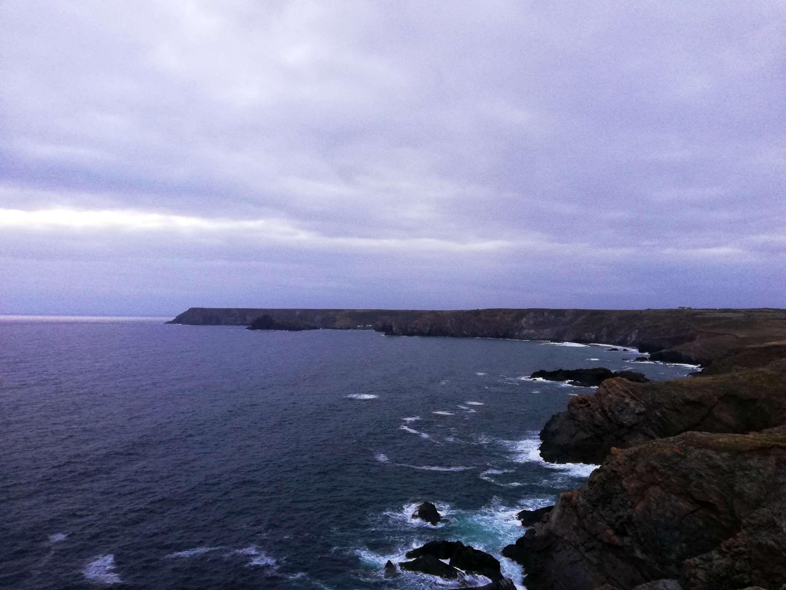
The Lizard Point Loop is an amazing walking route in Cornwall, England that will lead you along a beautiful stretch of coastline that is dotted with historical buildings. While out walking the trail, you will pass by the Lizard Lighthouse and experience stunning views of the English Channel, before passing by the Lizard Wireless Station and looping around through the village of Lizard itself. This is an excellent route for anyone with an interest in history and beautifully scenic coastal views.
Getting there
The trailhead for the Lizard Point Loop can be found at the National Trust Lizard Point car park, just off Lighthouse Road.
About
| Backcountry Campground | No |
| When to do | Year-Round |
| Pets allowed | Yes - On Leash |
| Family friendly | Yes |
| Route Signage | Average |
| Crowd Levels | Moderate |
| Route Type | Circuit |
Lizard Point Loop
Elevation Graph
Weather
Lizard Point Loop Trail Description:
Due to its stunning coastal views, charming villages, and historical sites, the Lizard Point Loop is a popular trail with many outdoor enthusiasts. Be sure to arrive early in order to secure parking. Additionally, this route is exposed to the elements, so make sure to bring a few extra layers along for comfort along the trail. As with all routes that traverse rugged coastal terrain, you will want to wear sturdy footwear.
The Lizard Point Loop really is a beautifully scenic adventure that will showcase the rugged terrain of the Cornish coast, as well as the interesting history of the area. Along the walk, you will pass by charming lighthouses, coastal signal stations, and small cottages where the usage of wireless technology was pioneered in the early 20th Century, all while taking in stunning views overlooking the English Channel. Even though you won’t find any lizards on this route, the Lizard Point Loop is still an adventure worth experiencing.
Setting out from the car park, you will make your way to the south past the toilet facilities, before reaching the coastal trail. From here, you will turn left and keep straight along the trail for 0.5mi, passing by the various buildings of the Lizard Lighthouse Heritage Centre and its iconic tower that dates back to 1751, in order to continue your walk along the shoreline of Housel Bay. Take your time during this portion of the walk, as you will experience some beautiful views overlooking the bay and the English Channel further afield.
After descending some stairs near Housel Bay Beach and crossing over a small stream, you will head up the hillside and turn right at the first junction to continue along the coast. In 0.3mi, you will keep left at the junction in the path and pass by the Lizard Wireless Station, where Italian inventor Guglielmo Marconi had pioneered the use of wireless technology in 1900.
Continuing on to the east, you will enjoy some more amazing views overlooking the sea and eventually pass by Lloyd’s Signal Station at Bass Point. This building was constructed in 1872 as a means to relay communications for passing ships. From here, the walking path will transition into Green Lane, which you will follow for 1.0mi through the village of Landewednack and into Lizard.
Take some time to explore the charming streets, shops, and cafes within the Village of Lizard, as this will be the last highlight of the walk. From here, you will head to the south along Lighthouse Road, following it all the way back to the Lizard Point car park to wrap up your adventure along the Lizard Point Loop.
Trail Highlights
Lizard Lighthouse
The Lizard Lighthouse is a notable landmark along the Cornish coast that was constructed to guide ships through the English Channel, and its light could be seen over 100.0mi away on a clear day. The original tower was built on the site in 1619; however, a lack of funds for maintenance and operation meant that it was shut down and demolished by 1630. The current tower was constructed in 1751 by Thomas Fonnereau.
Frequently Asked Questions
Why is it called Lizard Point?
There are no lizards to be found at Lizard Point. The name is derived from the Cornish words ‘lis’ and ‘ard’, meaning place and high respectively.
Are there toilets at Lizard Point?
Yes, there are toilet facilities located next to the Lizard Point National Trust Car Park.
Insider Hints
Toilet facilities can be found near the trailhead.
If you fancy some mid-walk refreshments, try popping into the Coast Coffee Bar or Ann’s Pasties as you pass through Lizard.
Wear comfortable walking shoes for this walk as there are sections of rugged coastal terrain.
Similar hikes to the Lizard Point Loop hike

Restronguet Passage Circular Walk
The Restronguet Passage Circular Walk is a fantastic outdoor excursion in Cornwall that offers beautifully scenic views overlooking a number…

Crantock and The Gannel Circular Walk
The Crantock and The Gannel Circular Walk is a beautifully scenic adventure near Newquay, Cornwall that will lead you through…

Egloshayle Circular Walk
The Egloshayle Circular Walk is a great outdoor excursion set in the Cornish countryside that will expose you to a…


Comments