
Egloshayle Circular Walk
View Photos
Egloshayle Circular Walk
Difficulty Rating:
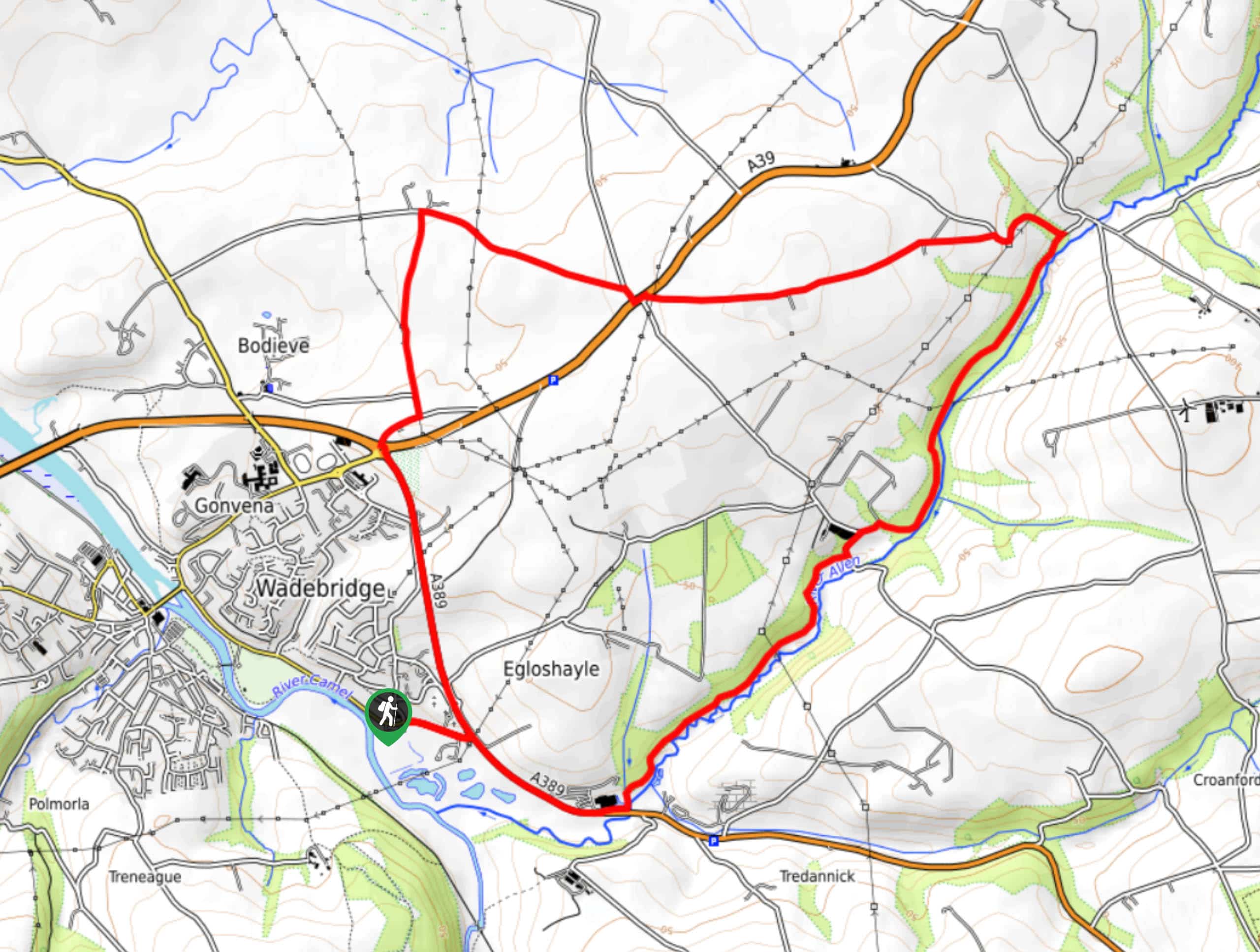
The Egloshayle Circular Walk is a great outdoor excursion set in the Cornish countryside that will expose you to a wonderful riverside setting. While out walking the trail, you will follow closely along the winding banks of the River Allen as it cuts through Treworder Wood, before looping around the surrounding farmland on the return. Walkers should take note that the latter portion of this route will require you to walk along roadways, so be sure to exercise caution with children or dogs.
Getting there
The trailhead for the Egloshayle Circular Walk can be found on Egloshayle Road, next to the Egloshayle Cemetery.

About
| Backcountry Campground | No |
| When to do | Year-Round |
| Pets allowed | Yes - On Leash |
| Family friendly | Yes |
| Route Signage | Average |
| Crowd Levels | Moderate |
| Route Type | Lollipop |
Egloshayle Circular Walk
Elevation Graph
Weather
Egloshayle Circular Walk Description
Whether the aim of your walk is to explore the beautifully atmospheric riverside, take in the views of the rolling farmlands, or simply to escape the hustle and bustle of the city, the Egloshayle Circular Walk is a great option to hit the trails and explore the outdoors.
Setting out from the trailhead, you will make your way southeast past the Egloshayle Cemetery, following along the A389 until you reach the River Allen. From here, you will head to the northeast and enter into the dense cover of Treworder Wood, taking some time to enjoy the atmospheric riverside setting as you make your way through the forest.
Eventually, the footpath will come to a junction with a road, which you will follow to the west in order to escape the cover of the forest. From here, you will traverse the undulating countryside and cross over the A39, taking in the beauty of the surrounding farmland as you make your way to the northwest corner of the route. Picking up a track leading south, you will follow it past a number of fields and through a small stretch of wood to arrive at the edge of the A39 once more. Crossing over the road, continue on to the south along A389 and turn right at the cemetery to arrive back at the trailhead where you began.
Similar hikes to the Egloshayle Circular Walk hike
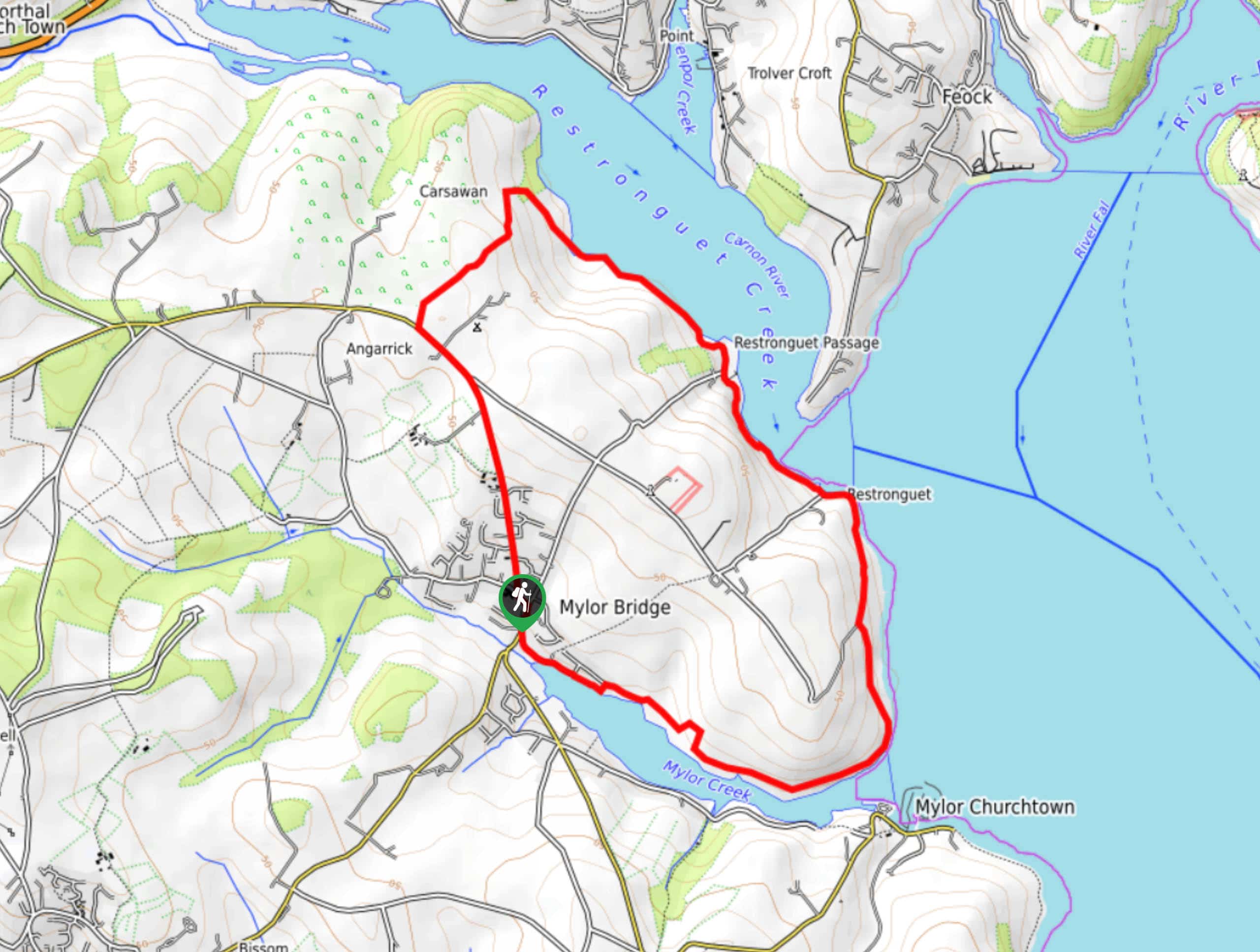
Restronguet Passage Circular Walk
The Restronguet Passage Circular Walk is a fantastic outdoor excursion in Cornwall that offers beautifully scenic views overlooking a number…
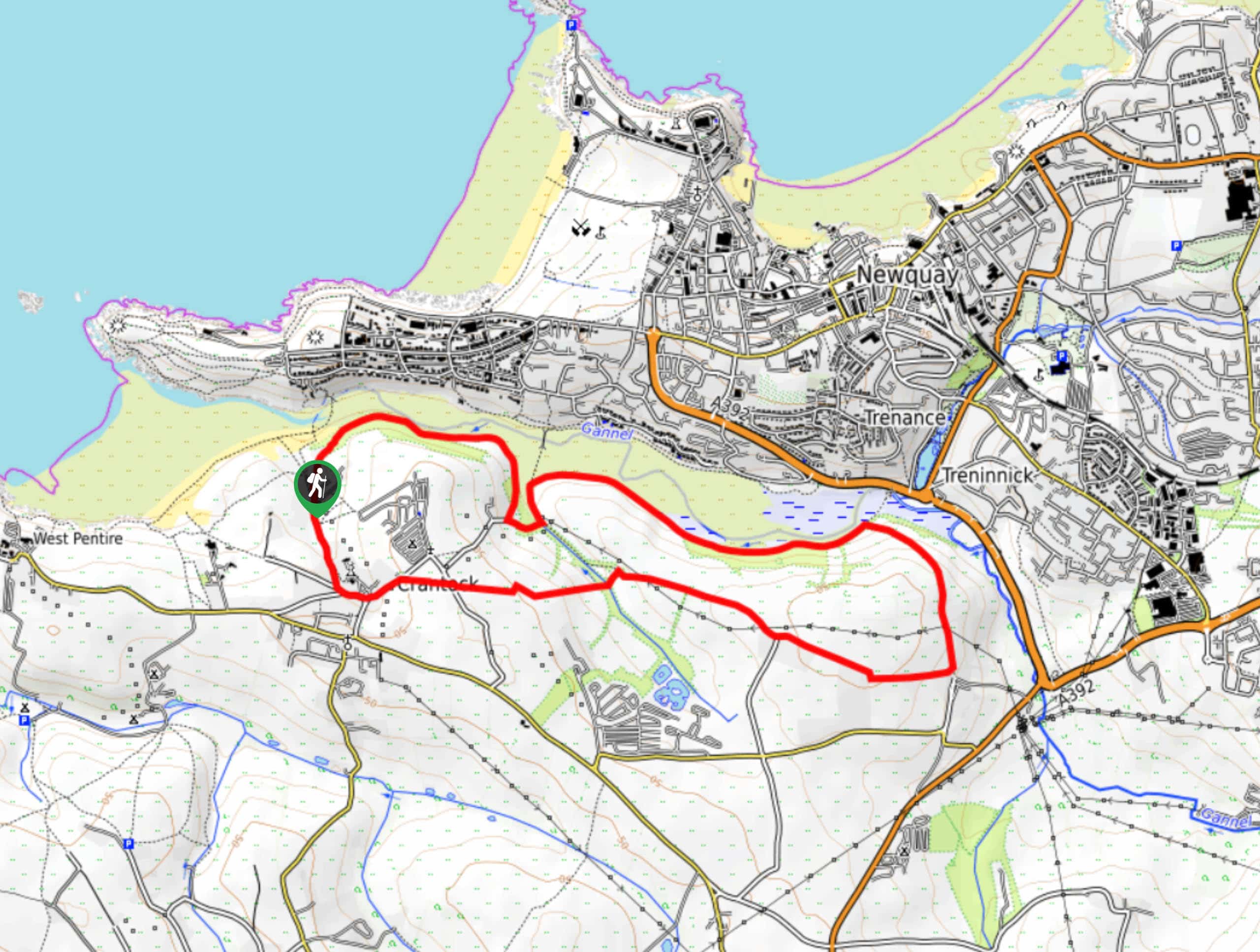
Crantock and The Gannel Circular Walk
The Crantock and The Gannel Circular Walk is a beautifully scenic adventure near Newquay, Cornwall that will lead you through…
Rilla Mill Walk
The Rilla Mill Walk is a scenic journey through the Cornish countryside that passes through charming villages and features a…
Comments