

Davidstow Airfield Walk
View PhotosDavidstow Airfield Walk
Difficulty Rating:
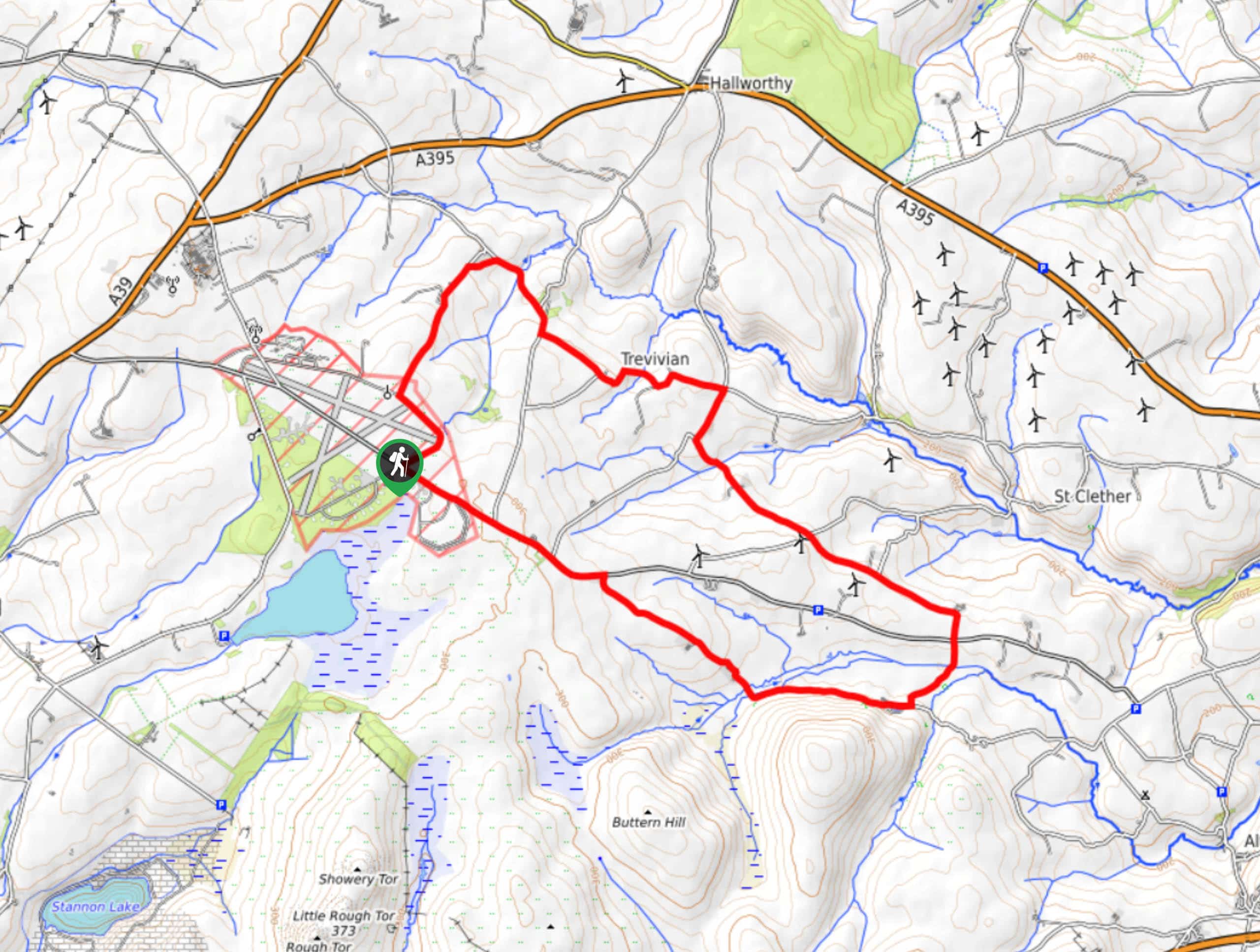
The Davidstow Airfield Walk is a lengthy adventure in Cornwall that will allow you to explore the picturesque countryside surrounding a former RAF airfield from the Second World War. While out on the trail, you will pass through several charming hamlets and traverse the open countryside, as you explore the landscape surrounding the airfield. Walkers should take note that much of this route takes place along quiet roadways, so exercise caution and keep an eye out for passing traffic.
Getting there
The trailhead for the Davidstow Airfield Walk can be found at a roadside parking area 1.5mi southeast of the Davidstow Airfield and Cornwall at War Museum.
About
| Backcountry Campground | No |
| When to do | Year-Round |
| Pets allowed | Yes - On Leash |
| Family friendly | Older Children only |
| Route Signage | Average |
| Crowd Levels | Low |
| Route Type | Circuit |
Davidstow Airfield Walk
Elevation Graph
Weather
Davidstow Airfield Walk Description
Whether you are a history buff looking to investigate a former RAF airfield or simply want to get out onto the trails for a longer stroll through the picturesque Cornish countryside, the Davidstow Airfield Walk is a great option that will provide you with hours of fun outdoors.
Setting out from the trailhead, you will make your way north along the edge of the airbase, before turning to the northeast to meet up with a lane. Following this downhill, you will eventually pass through the hamlet of Tremail, before turning to the southeast along the road to pass through Trevivian.
Continuing along the road to the southeast, you will begin to gradually make your way uphill and meet up with a road. Crossing over to the opposite side, you will make your way to the southwest along a tree lined lane that will bring you to the base of a hill. Here, the route will turn to the northwest, traversing the picturesque Cornish countryside as you make your way back towards the trailhead next to the airfield where you began.
Similar hikes to the Davidstow Airfield Walk hike

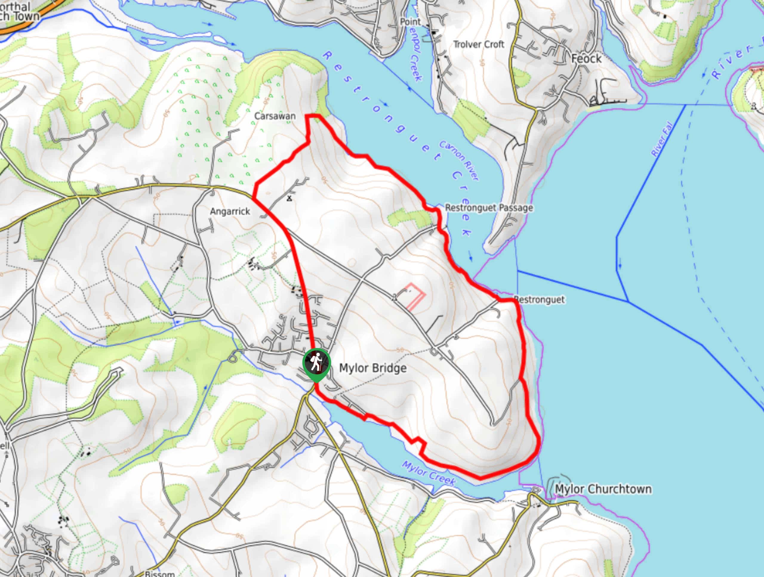
Restronguet Passage Circular Walk
The Restronguet Passage Circular Walk is a fantastic outdoor excursion in Cornwall that offers beautifully scenic views overlooking a number…

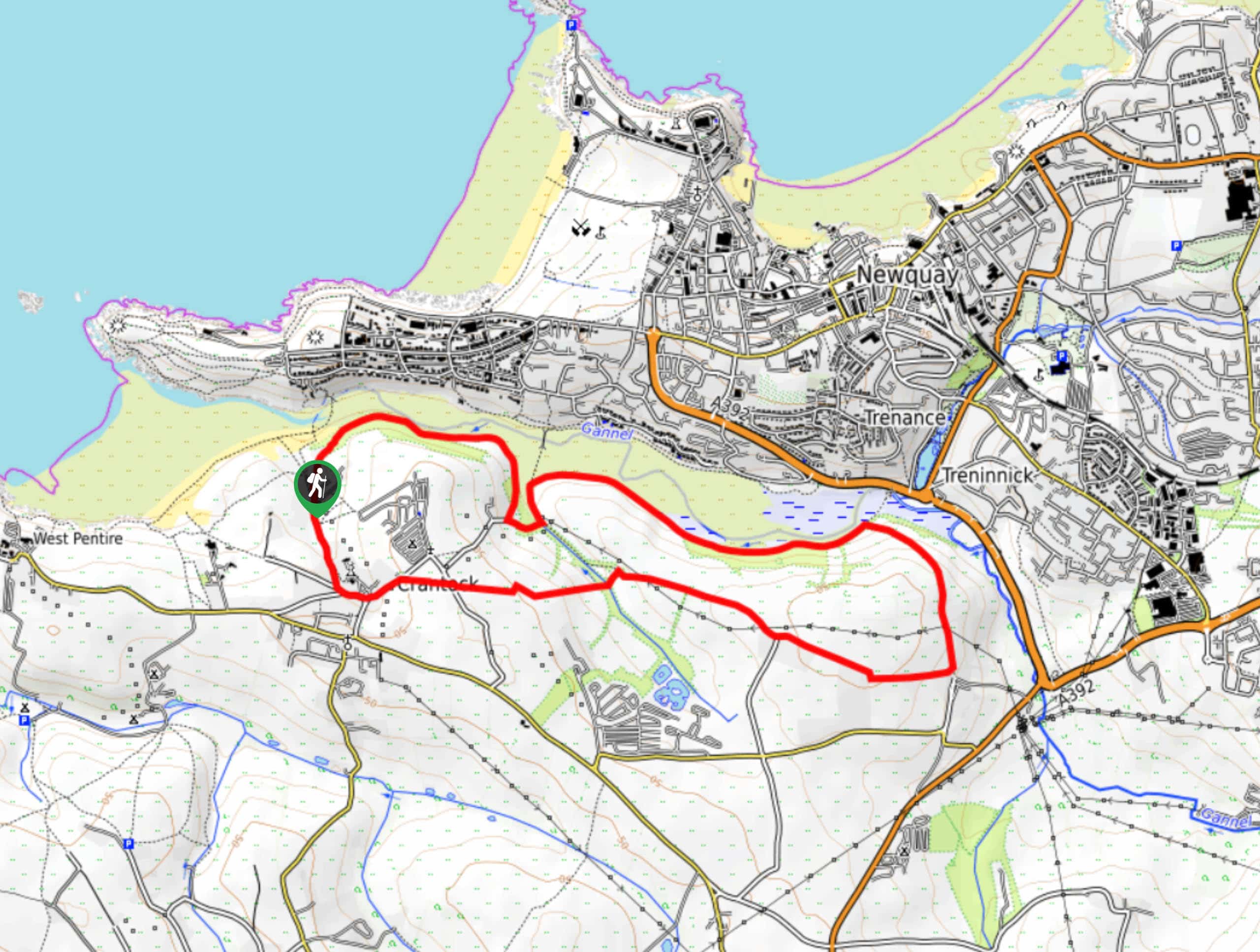
Crantock and The Gannel Circular Walk
The Crantock and The Gannel Circular Walk is a beautifully scenic adventure near Newquay, Cornwall that will lead you through…

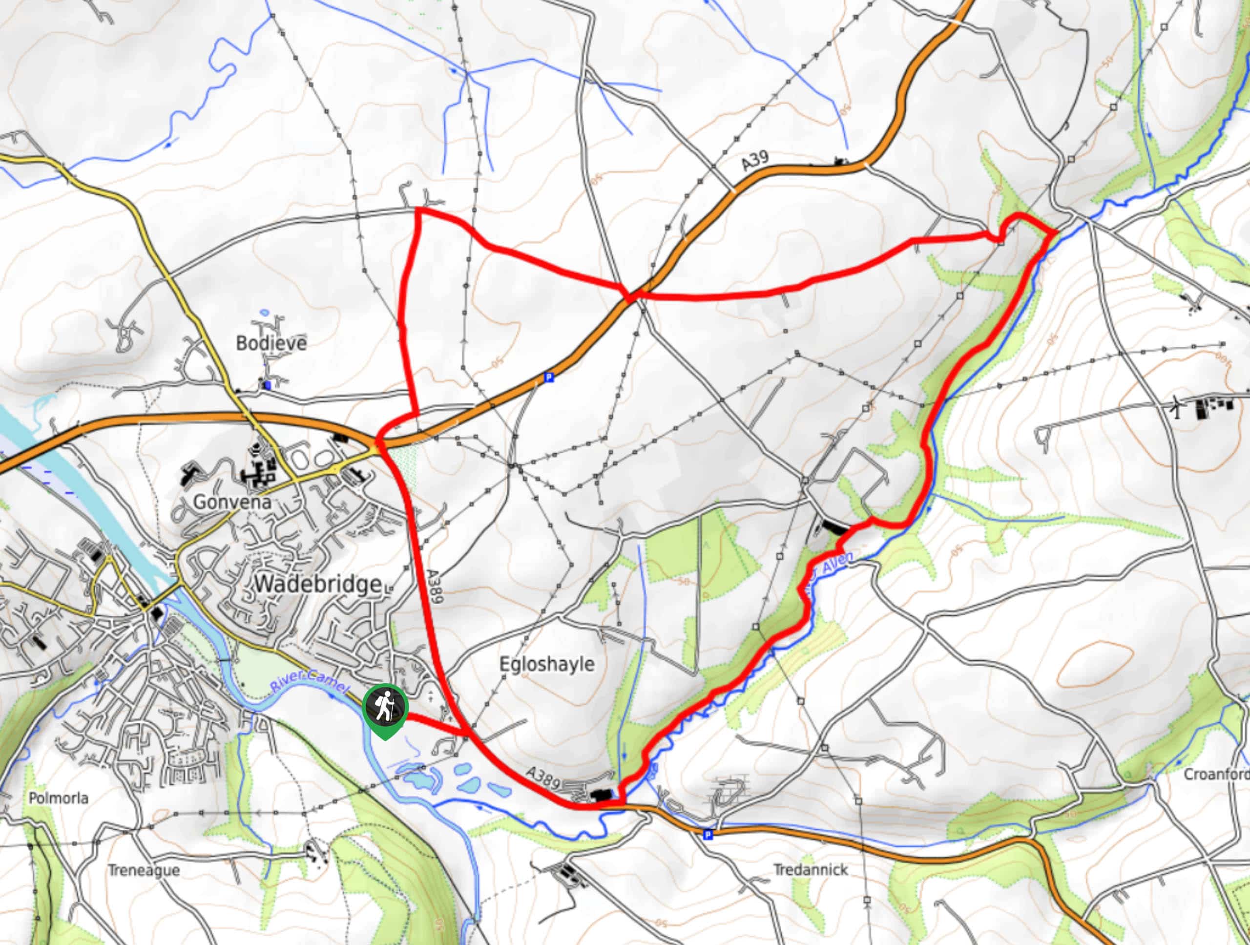
Egloshayle Circular Walk
The Egloshayle Circular Walk is a great outdoor excursion set in the Cornish countryside that will expose you to a…


Comments