

Camel Trail: Wadebridge to Padstow
View PhotosCamel Trail: Wadebridge to Padstow
Difficulty Rating:
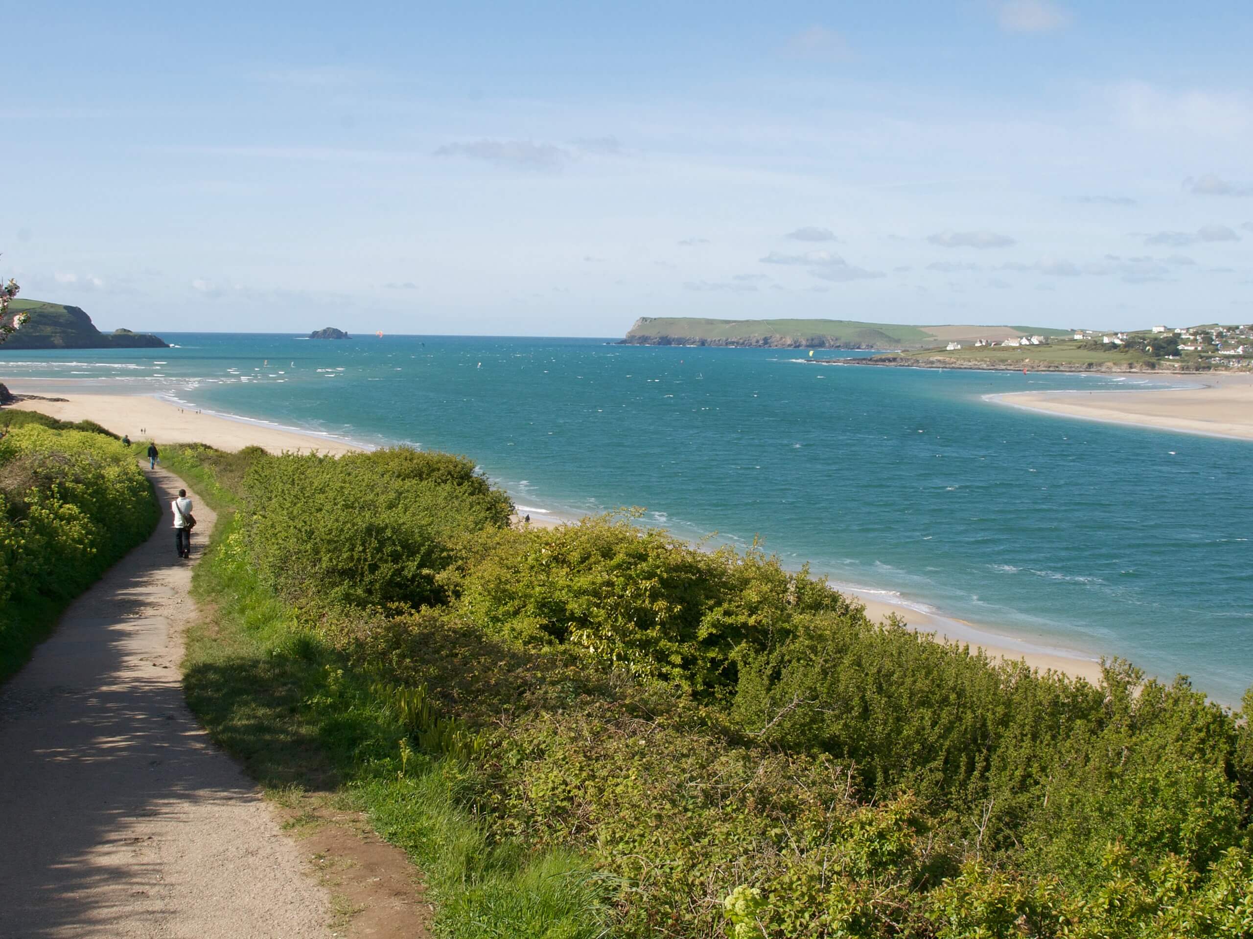
Walking the Camel Trail: Wadebridge to Padstow is a fantastic outdoor adventure that will allow you to explore one of the many waterways in Cornwall. While out on the trail, you will leave the town of Wadebridge behind and walk along the River Camel as it widens into an estuary and takes you to Padstow. Walkers should take note that this is a one-way trail, so be sure to make travel arrangements for the return leg or plan to walk the entire route over again.
Getting there
The starting point for the Camel Trail: Wadebridge to Padstow can be found on Trevanson Street, right next to the Wadebridge fire station.
About
| Backcountry Campground | No |
| When to do | Year-Round |
| Pets allowed | Yes - On Leash |
| Family friendly | Yes |
| Route Signage | Average |
| Crowd Levels | Moderate |
| Route Type | One Way |
Camel Trail: Wadebridge to Padstow
Elevation Graph
Weather
Camel Trail: Wadebridge to Padstow Route Description
If you enjoy taking a relaxing stroll by the river’s edge or exploring the beautiful terrain along a seaside estuary, then the Camel Trail: Wadebridge to Padstow is a great option to explore a charming river in the southwest of England.
Setting out from the trailhead, you will follow the road to the northeast in order to quickly arrive at the banks of the River Camel. From here, you will turn left and follow along the water’s edge as the river snakes to the northwest. Take some time to appreciate this lovely riverside setting, as it will soon widen into an estuary.
Continuing on to the northwest, you will be inundated with sweeping views of the estuary as you continue to make your way toward Padstow. Along this portion of the wal;k, you will traverse a series of bridges, before finally arriving at the edge of the town. From here, you will keep the water on your right and make your way north along the Quay to arrive at the end point of the walk at The Shipwrights, a great pub for some post-walk refreshments.
Similar hikes to the Camel Trail: Wadebridge to Padstow hike

Restronguet Passage Circular Walk
The Restronguet Passage Circular Walk is a fantastic outdoor excursion in Cornwall that offers beautifully scenic views overlooking a number…

Crantock and The Gannel Circular Walk
The Crantock and The Gannel Circular Walk is a beautifully scenic adventure near Newquay, Cornwall that will lead you through…

Egloshayle Circular Walk
The Egloshayle Circular Walk is a great outdoor excursion set in the Cornish countryside that will expose you to a…


Comments