

Cadgwith Cove to Lizard Point Walk
View PhotosCadgwith Cove to Lizard Point Walk
Difficulty Rating:
The Cadgwith Cove to Lizard Point Walk is a beautifully scenic journey in Cornwall that will allow you to experience the rugged and dramatic nature of the southwest coast of England. While out walking the trail, you will head through the village of Cadgwith and continue south along the coastal cliffs in order to pass by historic wireless stations and the Lizard Point Lighthouse. Walkers should take note that this is a one-way trail, so unless you want to walk the entire distance back to the trailhead or become stranded at the southernmost point of mainland United Kingdom, you should probably make travel arrangements in advance.
Getting there
The trailhead for the Cadgwith Cove to Lizard Point Walk can be found at the Cadgwith Car Park on New Road.
About
| Backcountry Campground | No |
| When to do | Year-Round |
| Pets allowed | Yes - On Leash |
| Family friendly | Yes |
| Route Signage | Average |
| Crowd Levels | Moderate |
| Route Type | One Way |
Cadgwith Cove to Lizard Point Walk
Elevation Graph
Weather
Cadgwith Cove to Lizard Point Walk Description:
While the Cadgwith Cove to Lizard Point Walk isn’t too challenging, it does feature a small amount of elevation gain and some rugged coastal terrain that will require some decent footwear. Additionally, parking at the trailhead can fill up quickly, so be sure to arrive early. Lastly, this is a point-to-point trail, meaning you will need to retrace your steps along the same route or arrange a pick up at the end point of the route.
Featuring absolutely stunning views along the coast of the Lizard Peninsula, this is an excellent walking route that you won’t want to miss if you find yourself in Cornwall. In addition to the amazing scenery, you will also have the chance to explore several unique historical sights along the route, making this a great adventure for a wide range of outdoor enthusiasts.
Setting out from the Cadgwith Cove car park, make your way to the northeast corner of the car park and pick up the trail leading to the southeast. Here, you will pass through some tree cover and a residential area, making your way past the Church of St Mary in order to arrive at the edge of New Road. Take some time here to explore the village and surrounding terrain while appreciating the beautiful views of Cadgwith Harbour, before picking up the trail leading to the southwest.
After climbing uphill alongside some woodland terrain, you will begin to make your way south along the rugged, yet visually stunning coastal terrain of the Lizard Peninsula that includes the Devil’s Frying Pan, a secluded tunnel weathered into the rock. Continuing along the trail, you will enjoy spectacular views of the English Channel, as you wind around the coves and beaches that characterize the coast.
Eventually, you will round the scenic lookout at Bass Point, before making your way past the historic Lizard Wireless Station, where early pioneers of wireless technology tested out their work during the early 20th Century. After making your way around the scenic expanse of Housel Bay, you will begin the approach to Lizard Point, while passing by the Lizard Lighthouse that has its origins in the early 17th Century. From here, you will continue a short distance further along the coast, where you will finally finish your adventure from Cadgwith Cove to Lizard Point, the most southerly point of the mainland United Kingdom.
Trail Highlights
Lizard Lighthouse
A notable landmark along the Cornish coast, the Lizard Lighthouse was built to help guide ships through the English Channel, and on a clear day its light could be seen from over 100 miles away. Constructed in 1619, a lack of funds for maintenance and operation meant that the original tower had to be shut down and was demolished by 1630. The tower currently on site was constructed just over 100 years later by Thomas Fonnereau in 1751.
Frequently Asked Questions
Why is it called Lizard Point?
The name Lizard Point is derived from the Cornish words ‘lis’ and ‘ard’, meaning place and high respectively. Sadly, there are no lizards to be found at Lizard Point.
Are there toilets at Lizard Point?
Yes, toilet facilities can be found next to the Lizard Point National Trust Car Park.
Insider Hints
Wear proper walking boots for this trail, as you will be traversing some rugged coastal terrain.
Wavecrest is a great place at Lizard Point to stop in for some food after your walk.
Toilet facilities can be found in Cadgwith Cove and at Lizard Point near the car park.
If you are looking for another great walk in the area, check out the Lizard Point Loop.
Similar hikes to the Cadgwith Cove to Lizard Point Walk hike

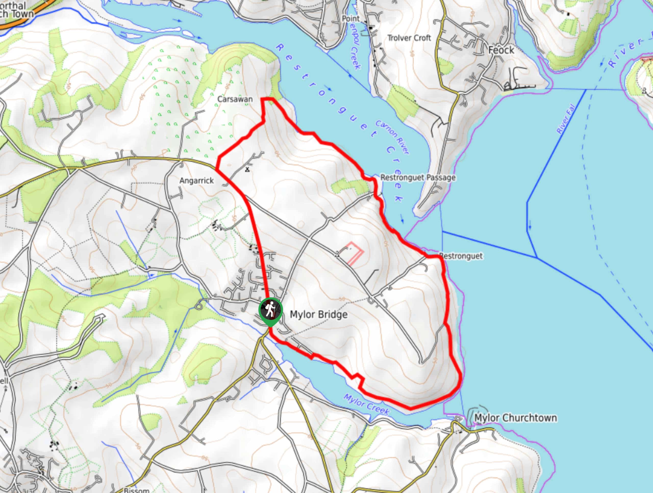
Restronguet Passage Circular Walk
The Restronguet Passage Circular Walk is a fantastic outdoor excursion in Cornwall that offers beautifully scenic views overlooking a number…

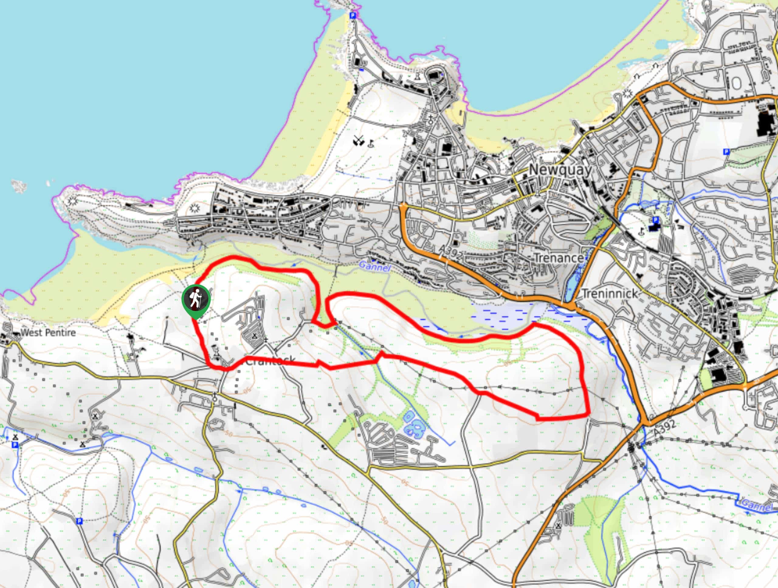
Crantock and The Gannel Circular Walk
The Crantock and The Gannel Circular Walk is a beautifully scenic adventure near Newquay, Cornwall that will lead you through…

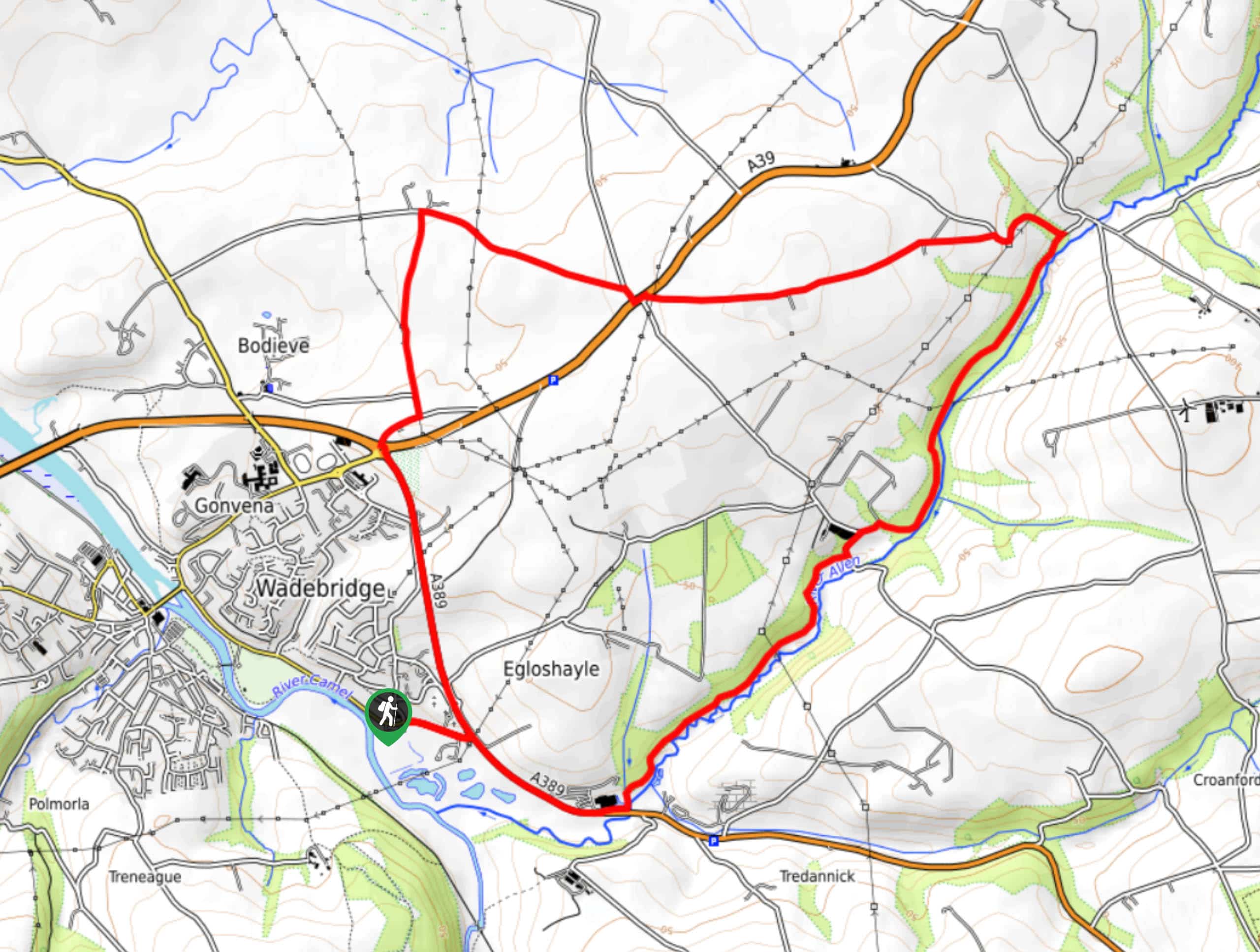
Egloshayle Circular Walk
The Egloshayle Circular Walk is a great outdoor excursion set in the Cornish countryside that will expose you to a…


Comments