


Wendover Loop hike
View PhotosWendover Loop hike
Difficulty Rating:
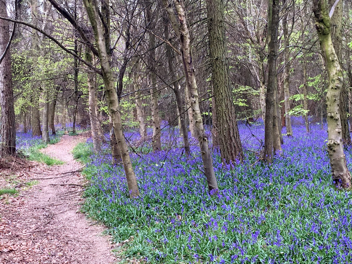
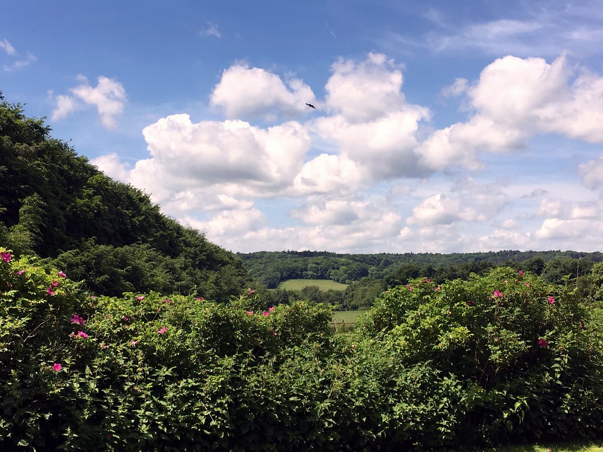
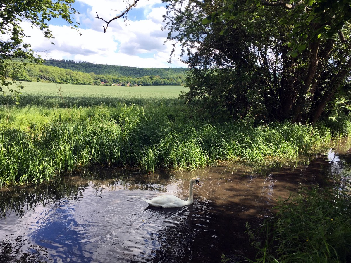
This interesting Chiltern walk enjoys ever changing scenery, from the initial ascent along the Ridgeway to ancient woodland, farmers’ fields and a 3.0mi stretch along the lazy river like canal to finish.
Getting there
Park in the public car park next to the Wendover Library using postcode HP22 6DU. Wendover also has a train station, and bus 50 runs an hourly service from nearby Aylesbury.
About
| When to do | April - September |
| Backcountry Campsites | No |
| Toilets | Trailhead and half way |
| Family friendly | No |
| Route Signage | Poor |
| Crowd Levels | Low |
| Route Type | Circuit |
Wendover Loop
Elevation Graph
Weather
Route Description for Wendover Loop
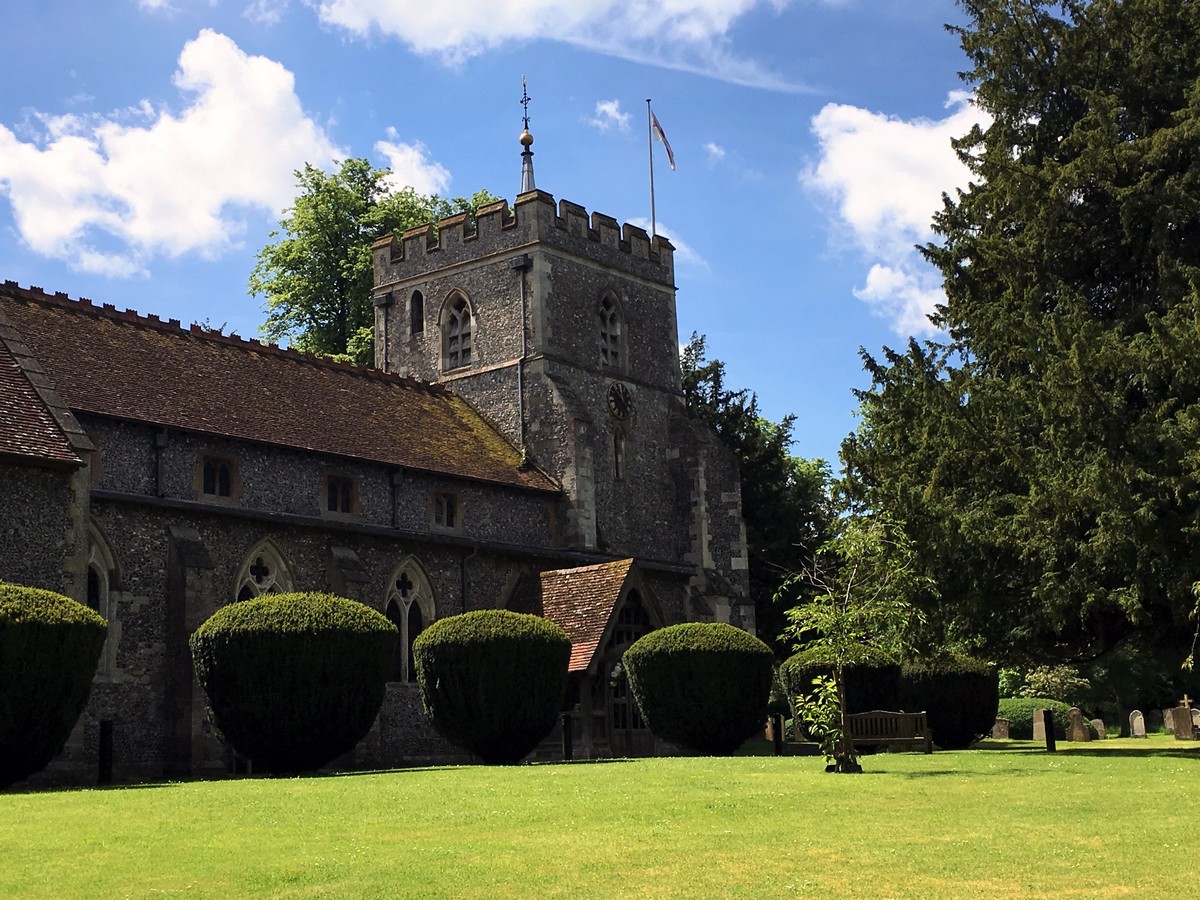
Turn right out of the car park along the High Street, then right onto Heron Path after about 574ft. Keep on Heron Path until you reach St. Marys Church, and then turn left along the road with the church on your right.
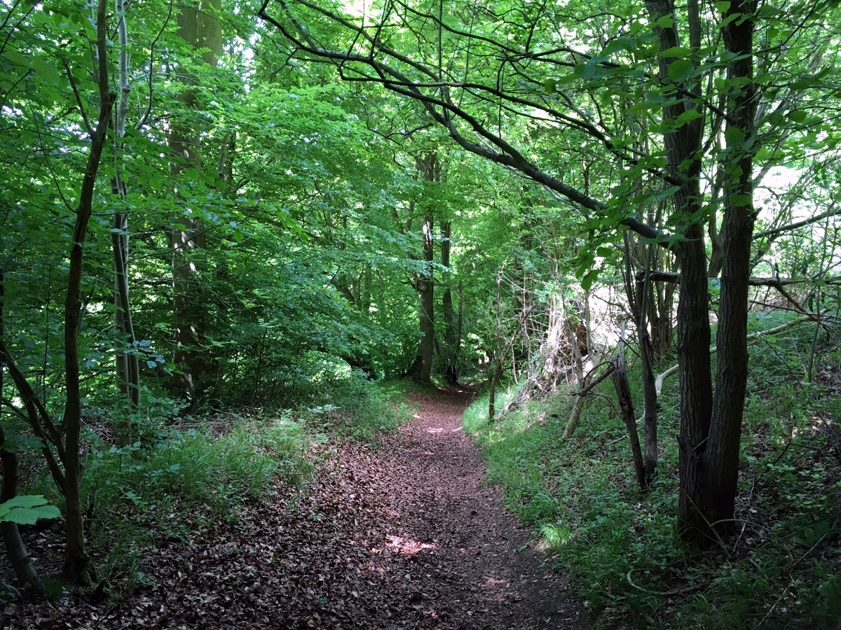
Cross the next road you come to and continue on the road opposite, following signs for the Ridgeway. The road is private access only and has little or no traffic. Follow this road uphill, past a farm, a private driveway, and finally through an open metal gate onto a muddy trail in the woods. The trail forks at this point. Turn left and follow signs for the Ridgeway for another mile. Ignore all side trails.
Pass through the open wooden gate and walk past the metal gate to reach the road. Walk to the right past Uphill Lodge and cross the road, joining the Ridgeway on the other side to the left. Enter the metal gate and keep straight on the Ridgeway at the first pathway junction. At the 3-trail junction take the first trail downhill to the left, following signs for the Ridgeway.
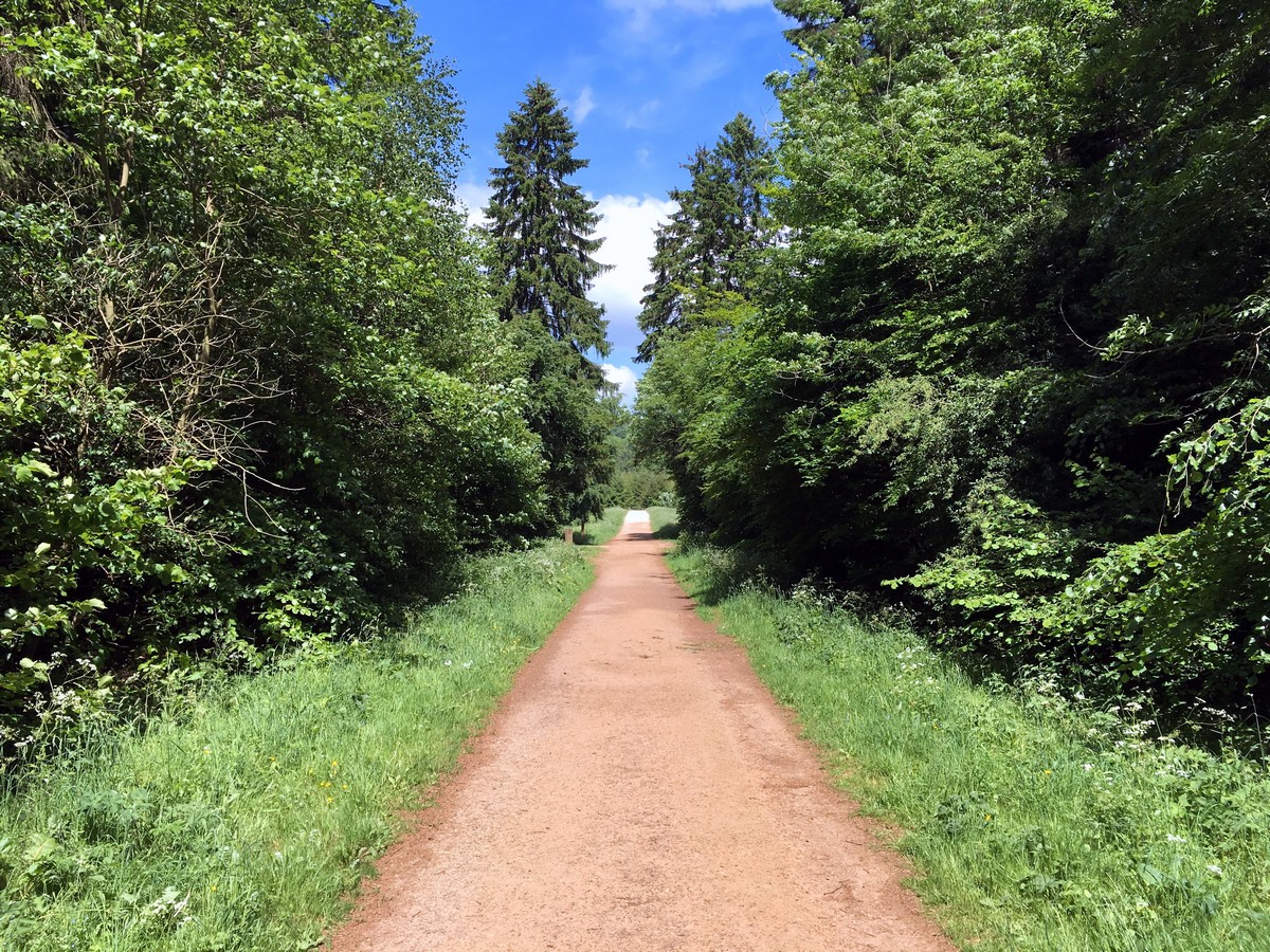
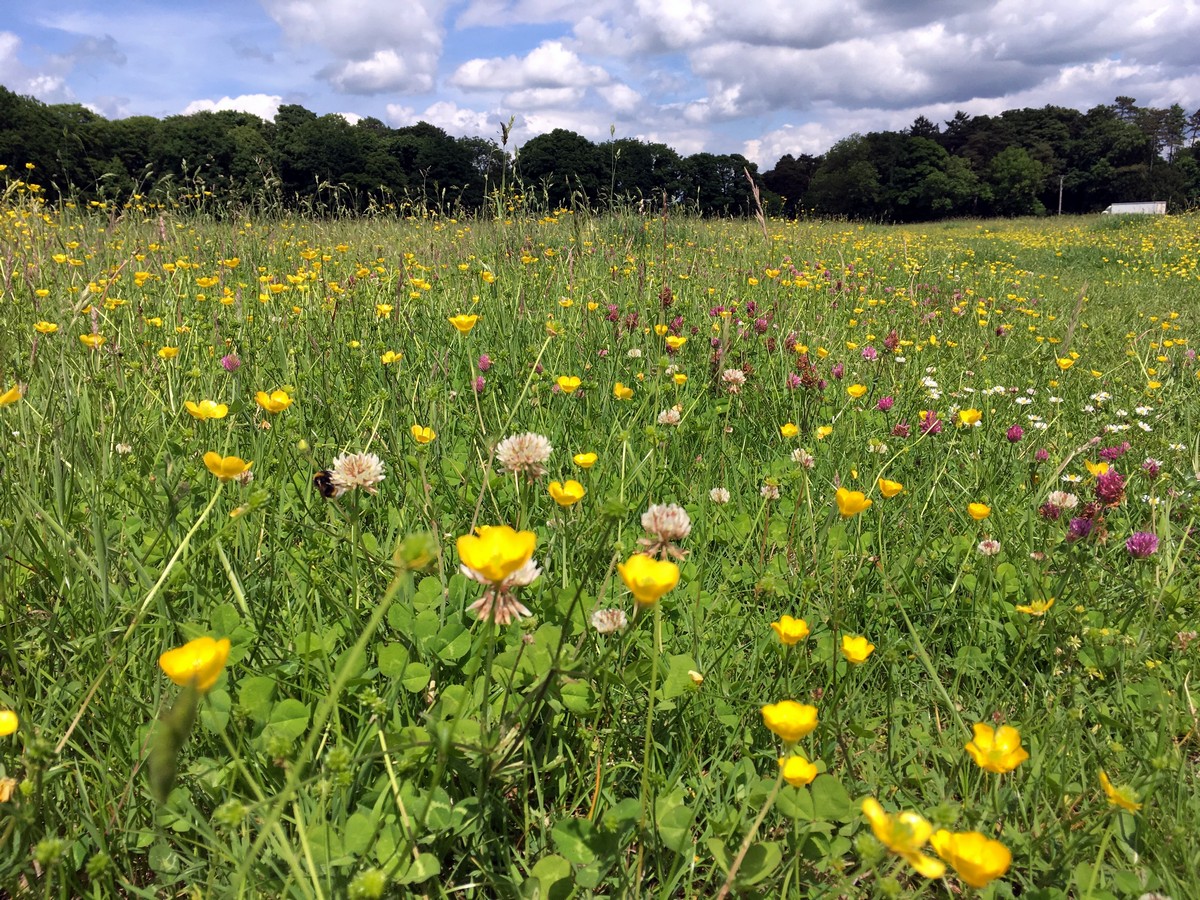
Soon you will reach a large opening in the woods. Leave the Ridgeway here and take the first trail immediately downhill on your left. In half a mile you will reach a quiet road with few houses on either side. Turn right, and after 82ft turn right again taking the public footpath through the hedgerow into an open field. Follow along the left side of the field, through a gate, a small patch of woods, through another gate, and past a row of cottages on your right. Turn right onto the wide track where the cottages end, and continue past the gate onto a wide gravel path marking the entrance into Wendover Woods.
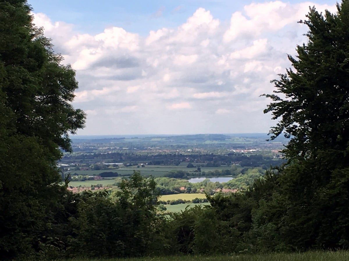
Follow the first trail on the left, uphill, for half a mile. Take time to admire the view through the trees along the way. Turn right at the top of the hill, exploring the Boddington Hill Fort if you have time. Follow the driveway for half a mile all the way to the café, a great place to stop for lunch and use the facilities.
After leaving the café, take the entrance road past the entrance barrier and downhill away from the information centre. Walk down the car entrance driveway until it bares to the left and you see the wooden barrier to the right. Follow this trail for a short while until you reach an intersection. Take the first trail on your right, go over the stile, and cross diagonally through the field past the trig marker in the middle. Exit the field at the top left corner.
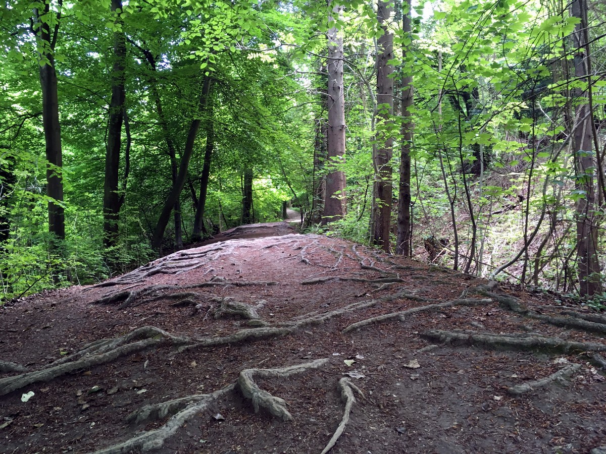
The trail is all downhill from here! Walk left along the main road for about 33ft until you see a track on the other side. Cross over and follow the track until you reach a sign for a public footpath heading downhill on your left. This path is also used by the bike club, so watch for them whizzing through the trees on your right. Continue past the end of the car park, taking care to step over the tree roots on the trail, until you reach an offshoot to the left for the Golf Clubhouse. Make sure to stop here for more fabulous views!
Follow the path across the front of the golf course, signed by white posts, until you reach a sandy path back into the woods. Follow this narrow path downhill to the main road. Turn left onto the pavement footpath after crossing the road and continue until you reach another footpath on your right, opposite the entrance road to Wendover Woods.
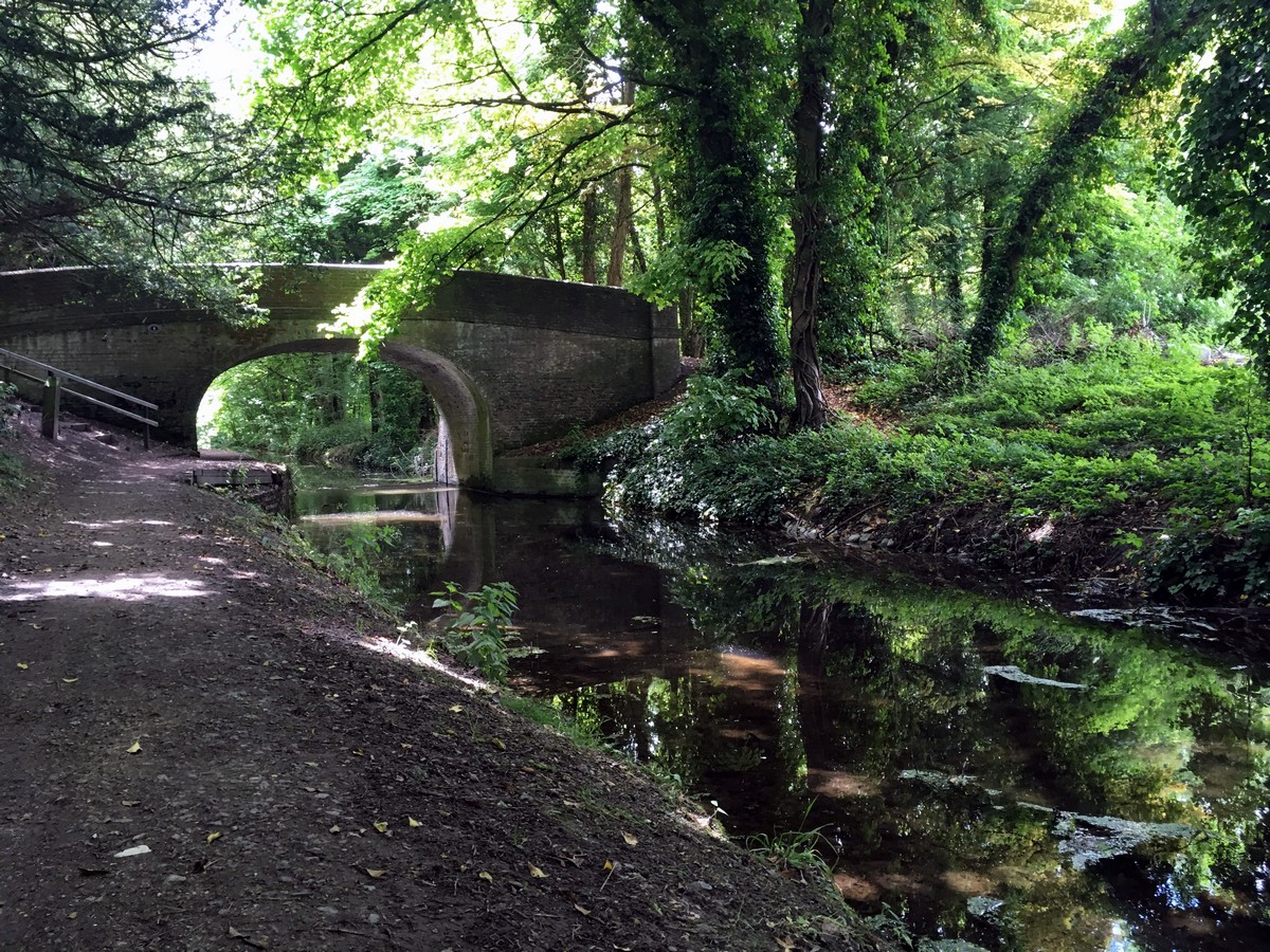
Follow the path downhill, ignoring all offshoots, until you reach the gate leading onto the canal towpath at the bottom. Turn left onto the path and follow it for the next 3.0mi, crossing the bridge at Halton and continuing on the other side.
You will know when you have reached Wendover, because the canal stops and you have to take the path up to the road. Turn right at the top onto Wharf Road until you reach the roundabout, and then turn left onto Aylesbury Road. Cross the road at the George and the Dragon Pub, then continue to follow the road back through Wendover High Street to the car park.
Insider Hints
Wendover Woods can get very busy on the weekends, so start early or hike during the week to avoid the noise from the Go Ape play facility.
Coombe Hill is the highest viewpoint in the Chilterns, and is just a 5.0mi drive away!
Use postcode HP17 O to drive to the war memorial at the top for fantastic views!
Similar hikes to the Wendover Loop hike

Bledlow Great Wood and Radnage Walk
The Bledlow Great Wood and Radnage Walk may be a long walk, but the ever-changing scenery will keep you well…

Loddon Brewery and Chilterns Boundary Walk
Revel in quintessential English countryside views, contrasted with red kites floating in the sky, a lovely church, and views of…

Great Cookshall Wood Walk
Travel through a shaded, woodland setting on the Great Cookshall Wood Walk, a 5.6mi circular route that starts…


ptorre15@gmail.com 4 years ago
One of the less interesting walks in the area. The part in the Wendover Woods is so crowded and noisy and of no particular interest. The end along the canal is much nicer but a bit too long. I did it on a very cloudy day, maybe I would have seen things differently under other circumstances.
kakram 5 years ago
Did this today. Th scenery and calm is amazing. The sheer variety of terrain is incredible - constantly changing views. It took us bang on 5 hours to do this. My Fitbit reported it was 19km and 25,000 steps... I think it's longer than 16.6km. We absolutely loved the walk.. It was challenging, but some of the views are astounding. Proper English countryside. Props to anyone who did it in 4h! How??
JasDosanjh 5 years ago
Okay walk but not great views and the trails are very straightforward and similar particular at the end which is 5km walk along one path. There are better walks in the area
Charliechoco 5 years ago
long walk with nice view of the canal
skywalker786 5 years ago
The scenery is simply astonishing. As always nature never fails!
Avamichelle82 5 years ago
The route was quite difficult to follow but the scenery was worth it. Was able to take real ace shots here.
climbing_ally21 5 years ago
The woodland is wonderful and calming. The trail is a little difficult to follow though.
Sarah Potts 5 years ago
A nice walk for nature lovers! absolutely wonderful.
Linda Marie 5 years ago
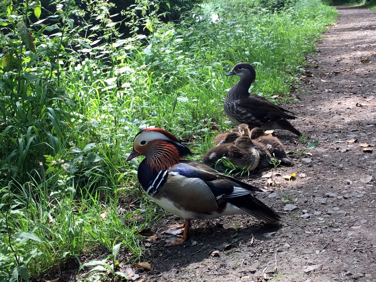
It was a nice place to rest and disconnect from the world, even just for a moment. I enjoyed looking at lovely ducks swimming in the pond with her babies.
AnnePark 5 years ago
A good walk surrounded by beautiful nature.