

Chess Valley and the Cricketers Walk
View PhotosChess Valley and the Cricketers Walk
Difficulty Rating:
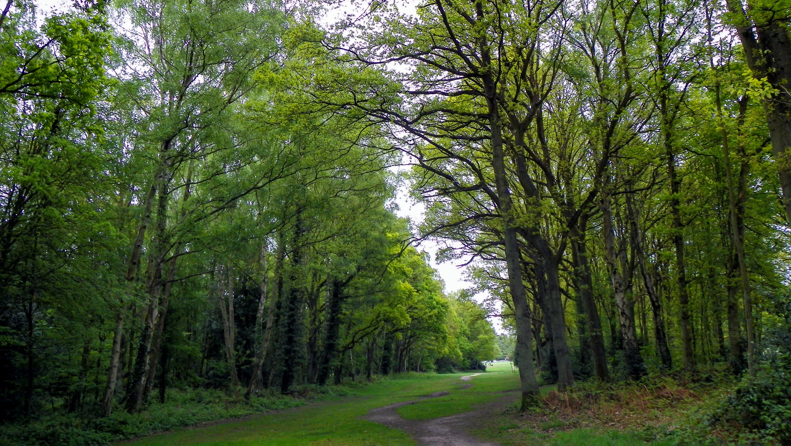
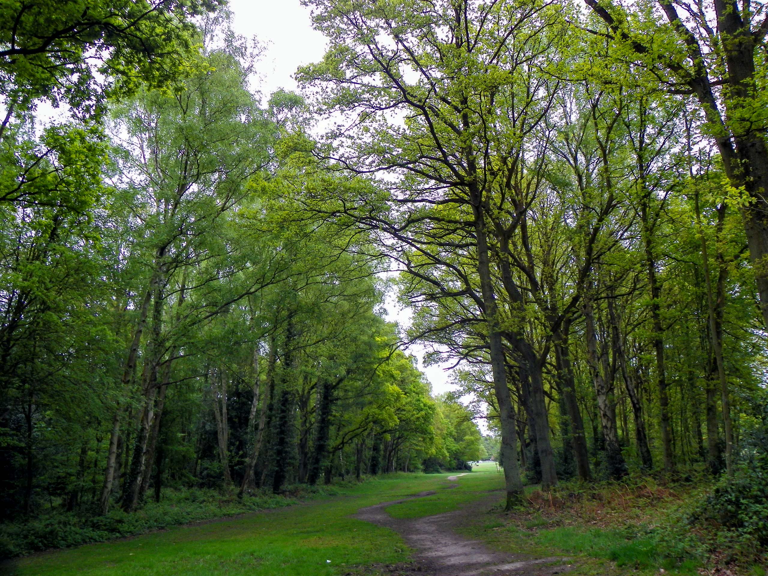
The Chess Valley and the Cricketers Walk winds through typical Chiltern Hills scenery. Expect rolling hills cloaked in greenery and charming farmland. And the relaxing scenery continues with River Chess rolling through sections of the walk! This is a fun, family-friendly walk.
Getting there
To get to the start of the Chess Valley and the Cricketers Walk, head to Sarrat, which is just four miles from Rickmansworth. In Sarrat, park in the Cricketers on The Green parking lot, and enjoy a drink at the pub after!
About
| When to do | Year round |
| Backcountry Campsites | No |
| Pets allowed | Yes - On Leash |
| Family friendly | Yes |
| Route Signage | Average |
| Crowd Levels | Moderate |
| Route Type | Circuit |
Chess Valley and the Cricketers Walk
Elevation Graph
Weather
Chess Valley and the Cricketers Walk Description
The Chess Valley and the Cricketers in Sarratt route is a fun, family-friendly walk. Expect the undulations to have your heart pumping, but the intensity is never overwhelming. After rain, the path can be muddy, so consider donning the appropriate footwear to prevent slippages. There are also some stiles and kissing gates, but the open fencing on the side should help most dogs out. You also pass through fields with animals, making it important to keep your dogs close during these sections.
This gentle walk begins from the Cricketers in Sarratt, granting you the opportunity to enjoy a refreshing drink after exploring the area. The peaceful scenery surrounding this walk will act as a natural form of escapism!
The start of the walk begins with your back facing the front door of the pub. From here, take a left to walk along the tarmac road, passing Cricketer’s Pond to your left. At the post office, take a left to follow along the Church End footpath. Eventually, the path becomes gravel and will take you towards a kissing gate leading to an open field. Continue straight as the path will take you to another kissing gate, which will send you into woodland. Keep walking until you reach a T-junction. Cross the road, going to the left diagonally, where another kissing gate/stile awaits. Pass through it and continue straight through the field, staying to the left. When the fence veers left, keep straight to cross the centre of the field. At the end of the field, go through a double gate to enter a churchyard.
Go straight, passing the Church of the Holy Cross, which harks back to 1190, on your right. When you’re by the church porch, veer right to connect with a gravel path that leads to a road, which you’ll cross before taking a right to go along the Chorleywood footpath. A few steps later, you’ll get to a T-junction. Cross it to reach the kissing gate on the opposite side. Enter the field and embark on a descent, being sure to keep near the right. Admire the views of Chess Valley. At the bottom of the field, you’ll arrive at a small gate. Go through it to keep heading downhill until you get to a T-junction. Take a right to go along the broad track, keeping left at the fork.
At the next gate, go through it to reach another field. Continue straight, admiring River Chess to your left. When you reach the end of the field, you’ll keep straight, going through another gate. The path will take you through woodland! Soon, you’ll reach Moors Lane. Follow this path, keeping straight until you get to another intersection. Take a left for the Latimer footpath. Stay on this concrete track, passing by horse paddocks and water meadows until you cross the footbridge over River Chess.
You won’t continue along this route, but it’s worth stopping to admire the fish! After, follow your steps back to the watercress farm, which should be on your right now. Then, go along the left-hand side of the two path branches, which will take you towards a stables complex. Before you get to the first building, go right to cross over the grass. Go through another gate to walk under a canopy of trees.
When you get out of the trees, cross a stile and head towards the kissing gate. This fenced path will start to take you uphill. Cross another stile before entering Hanging Lane Wood. Continue straight after the woodland, following the designated path. Eventually, you’ll get to a T-junction. Go right here and stay right at the next small junction. When the access lane takes a hard left, go right. You’ll see a sign for Chiltern Way. Keep going, sticking to the right-hand boundary of the field. At the end of the field, you’ll go through two gates to enter another field.
Go through two kissing gates before reaching Moor Lane. Take a right and walk a few steps before turning left and navigating another kissing gate. Follow the boundary line to the left and enter another kissing gate to reach another field. Walk through the field before negotiating another kissing gate and enter woodland. Stay straight, going through another kissing gate toward a path intersection.
Take a left to follow a path that will have you taking another kissing gate into a field. Go straight towards the corner of the field with hedges. Take a right from here, heading towards another kissing gate. Emerge under a path swept with trees. At the T-junction, meet up with a road in Sarratt. Take a right, going uphill before dipping back down. Go past the post office towards Cricketers, where pints await.
Other amazing walks in Chiltern Hills
Check out our guides to Wendover Loop, Wendover Woods, Dunstable Downs, Hurley Loop or The Rose and Crown Ivinghoe Beacon Walk. Or see all of our Chiltern Hills walks on 10Adventures.
Insider Hints
Park at the Cricketers in Sarratt, making sure to enjoy a drink after your walk
Similar hikes to the Chess Valley and the Cricketers Walk hike

Bledlow Great Wood and Radnage Walk
The Bledlow Great Wood and Radnage Walk may be a long walk, but the ever-changing scenery will keep you well…

Loddon Brewery and Chilterns Boundary Walk
Revel in quintessential English countryside views, contrasted with red kites floating in the sky, a lovely church, and views of…

Great Cookshall Wood Walk
Travel through a shaded, woodland setting on the Great Cookshall Wood Walk, a 5.6mi circular route that starts…


Comments