


Aston Rowant Walk
View PhotosAston Rowant Walk
Difficulty Rating:
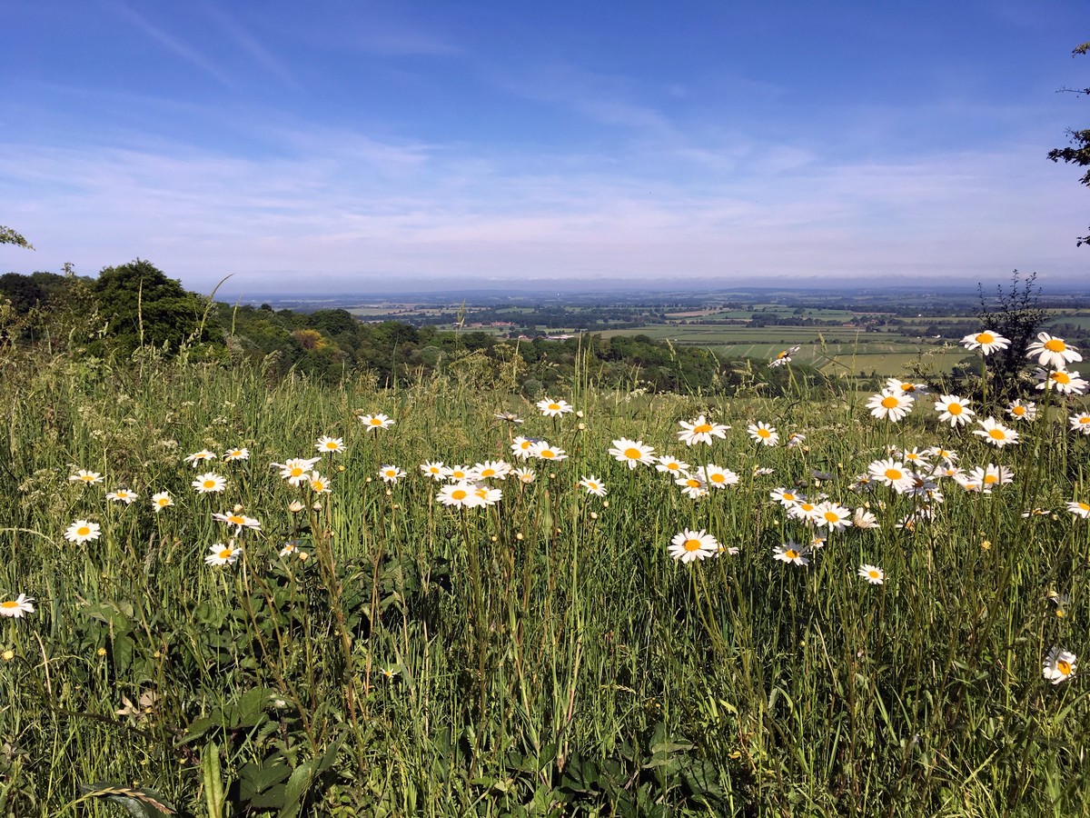
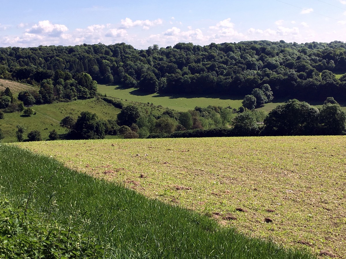
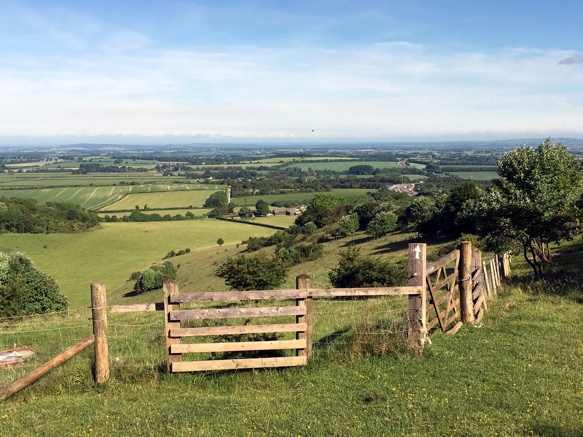
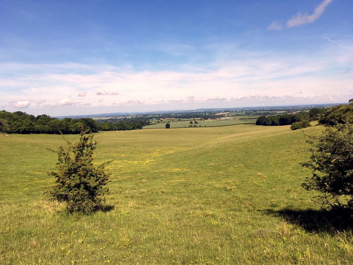
The Aston Rowant walk boasts beautiful views high above the surrounding Chiltern countryside. This is a great place to bring the family for a pleasant afternoon walk or pack a picnic lunch and enjoy the views!
Getting there
To get to the start of the Aston Rowant walk, use postcode OX49 5HX to find the Cowlease Wood Car Park. Park anywhere as it is free all day. Unfortunately, there is not any public transportation leading to this trail.
About
| When to do | April - September |
| Backcountry Campsites | No |
| Toilets | Trailhead |
| Family friendly | Yes |
| Route Signage | Average |
| Crowd Levels | Low |
| Route Type | Circuit |
Aston Rowant Walk
Elevation Graph
Weather
Aston Rowant Walking Route Description
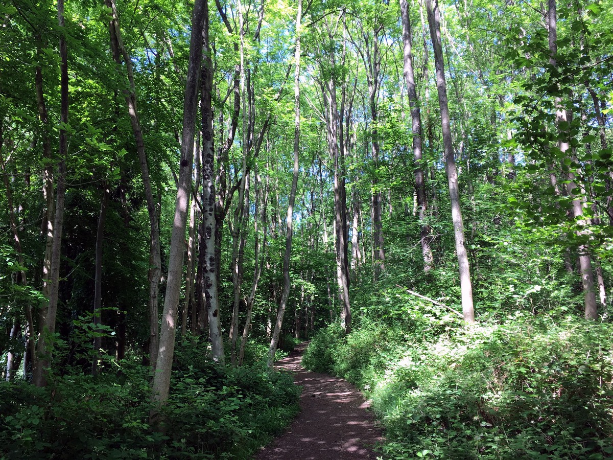
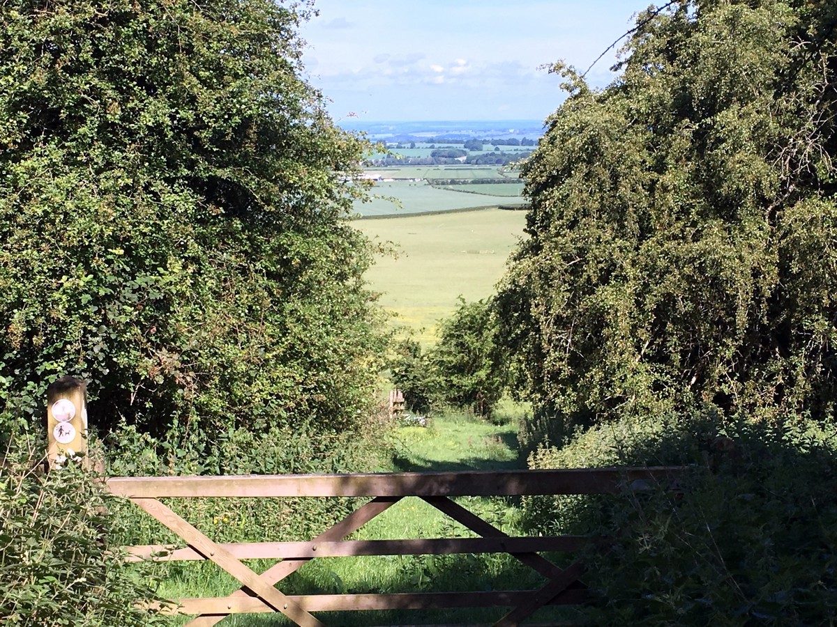
To start the Aston Rowant walk, head to the southern end of the car park – located on your right as you drive in – and find the trail in the left corner. Look out for the easy-to-follow white arrows on trees, pillars, and posts marking the route along the way. Take the left fork at the trailhead and follow it through the trees for 3117ft until you reach a wooden kissing gate. Pass through the gate and take a moment to enjoy the picturesque views! Be sure to watch for red kites flying above, and herds of deer below.
Walk downhill across the field directly in front of you, passing through another wooden gate as you continue following the trail through the field in the same direction. The next wooden gate will lead you through a gap in the hedge and onto a private lane. Turn left and follow this lane for almost a mile as it passes by a small farm on your right, climbs uphill to the left, and continues past another house at the top before you reach a metal kissing gate. Head through the gate and walk to the road, turning left to follow the road for about 164ft, ignoring the first bridleway almost opposite. Enter the second bridleway on the right, next to the large gates and parking area, into the Aston Rowant Nature Reserve.
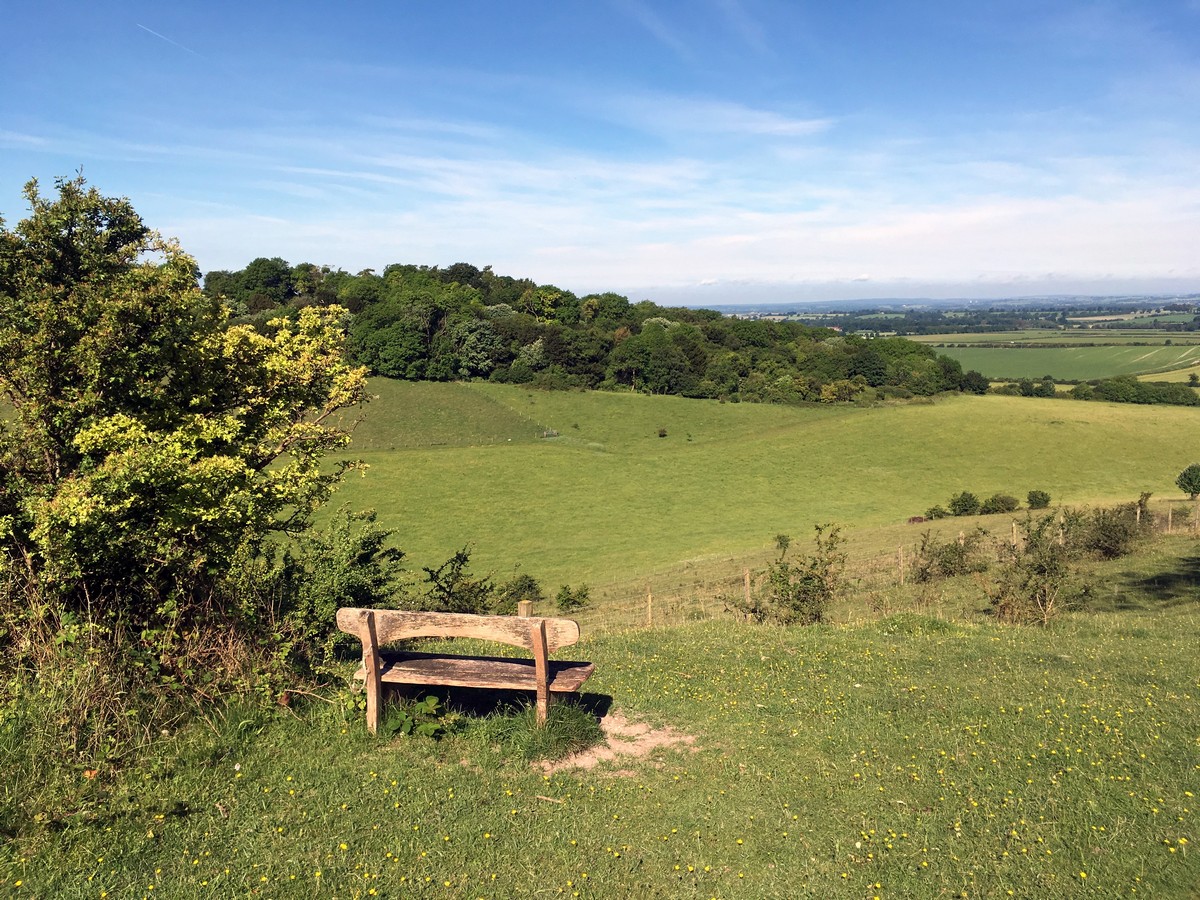
Follow the path straight ahead and stop to enjoy the view from the picnic benches. These benches, and another bench in half a mile, are great places to enjoy a picnic or a snack!
From the picnic benches, turn right and continue on for about 25m through the wooden gate. Turn left here and walk downhill for just over 0.5mi, following the trail along the right-hand side of the field and passing through 3 more gates along your way.
The final gate leads into a rough parking area with the entrance to Hill Farm on your right. Walk straight ahead along the lane until you come to an open area with parking. Turn left here onto the Ridgeway, leaving the motorway behind you.
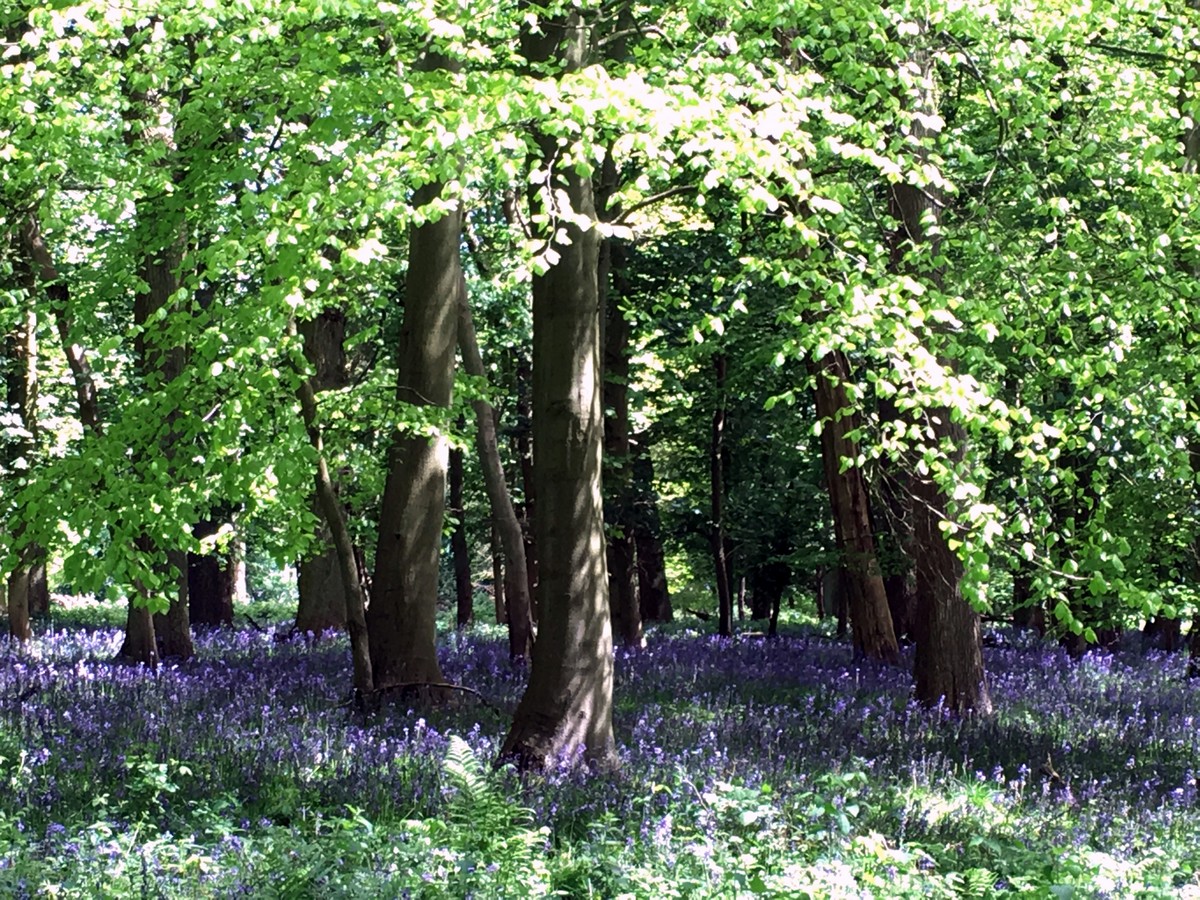
Walk along the Ridgeway for 0.3mi until you see a footpath on your left. Pass through the wooden gate, across a small flat field, and through another gate into the woods. Continue through the small patch of woodlands and exit through a gate into the next field. Turn left here and, still following the white arrows, follow the field edge for the next half a mile. Finally, you will reach a large wooden gate in the far right corner of the field.
Enjoy one more glimpse of the beautiful views behind you, before passing through the gate and climbing up a steep, often muddy, hill. Pass through the gate at the top and continue uphill directly through the field in front of you until you reach the road.
Take the trail directly opposite and follow it all the way back to the car park on your left.
Trail highlights
Aston Rowant
Located in south Oxfordshire, Aston Rowant (historically known as Aston Rohant) is a civil parish and village with a population of just under 800 people. This had been higher during the 19th Century, holding a population of just under 900; however, the parish also included the village of Stokenchurch at that time.
A fair number of historical artifacts have been found in the parish, including a large Roman vessel with five smaller ones held within it that were discovered during the 17th Century in Kingston Blunt. Additionally, 350 sceattas – 7/8th Century silver coins – were found in the parish during the latter half of the 20th Century. Some were of Anglo-Saxon origin; however, the majority were minted near the mouth of the Rhine River, leading archaeologists to believe that the hoard of coins could have belonged to a trader travelling along the Icknield Way.
Find other great walks in Chiltern Hills:
Insider Hints
Wear waterproof shoes in spring or after heavy rainfall.
Remember to come prepared with food and drink as nearby resources are limited.
Similar hikes to the Aston Rowant Walk hike

Loddon Brewery and Chilterns Boundary Walk
Revel in quintessential English countryside views, contrasted with red kites floating in the sky, a lovely church, and views of…

Great Cookshall Wood Walk
Travel through a shaded, woodland setting on the Great Cookshall Wood Walk, a 5.6mi circular route that starts…

Gallowstree Common Circular Walk
Enjoy varied scenery on the Gallowstree Common Circular Walk in the Chilterns, which loops through woodland, a pond, open fields,…


rlyngsoe 4 years ago
rlyngsoe 4 years ago
Great hike with views, forest, fields with sheep and birds of prey. Only thing missing is a stretch along a stream. Elevation changes give a good workout. While there is no public transport taking you all the way, the Oxford Tube running from central London to Oxford does stop at the M40 Lewknor exit seen at the top left of the map, so about a 1km flat walk from the Hill Farm point of the walk.
Miles Hawley 4 years ago
lovely views and quiet
joshsparkes 4 years ago
%dummy-text%laba labai gerai
joshsparkes 4 years ago
markbailey 5 years ago
Awesome hike for the whole family!
Linda Marie 5 years ago
I'd like to be back on a weekday to see if there would be lesser people. There's not much crowd but I enjoy solitude a lot.
Colt L 5 years ago
Nice open fields! Perfect for picnics.
RawMelodyMe 5 years ago
Just signed up to 10adventures and this was the first walk we have done - was brilliant - route description and en route arrow markers were brilliant and kids loved following the instructions - made it like a Treasure Hunt - beautiful views and scenery throughout - whole family looking forward to taking on some more of the available routes.....
Mr Dean 5 years ago
Glad it was sunny. We enjoyed some homemade sandwiches by my children. They were really looking forward to our trip here. The view was relaxing as well.