

Mono Cliffs Trail
View PhotosMono Cliffs Trail
Difficulty Rating:
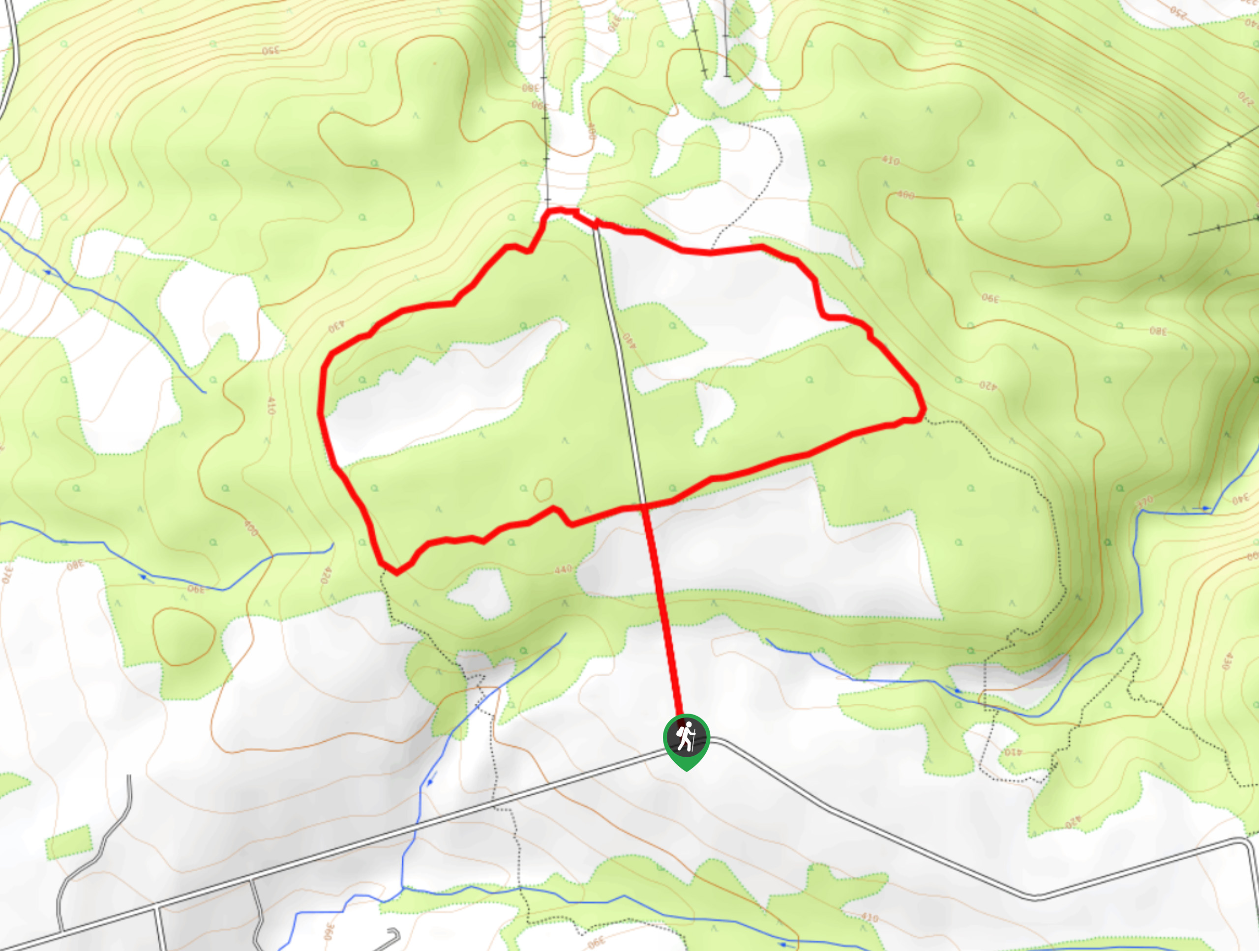
The Mono Cliffs Trail is an extremely popular hiking route in southern Ontario, due to its dramatic rock formations, beautiful scenery, and relatively easy access from Toronto. This route eschews the main entrance and parking area for roadside parking along 2nd Line, entering into the forest to follow an undulating trail through the tree cover that features the large sections of rock escarpment that gives the park its name. Well-marked and maintained, this route is perfect for exploring the outdoors with the family.
Getting there
To reach the trailhead for the Mono Cliffs Trail from Orangeville, head north on ON-10 for 4.5mi and turn right onto Dufferin Road 8. Follow this for 3.8mi and keep left onto 2nd Line for another 0.9mi to find roadside parking on the right.
About
| When to do | April-November |
| Backcountry Campsites | No |
| Pets allowed | Yes - On Leash |
| Family friendly | Older Children only |
| Route Signage | Average |
| Crowd Levels | High |
| Route Type | Lollipop |
Mono Cliffs Trail
Elevation Graph
Weather
Mono Cliffs Trail Description
With a beautiful woodland setting and fairly easy access from the major population centre of Toronto, the only real downfall of the Mono Cliffs Trail is that it can become very busy during peak season, as people are looking to escape the city and reconnect with the outdoors. This trail already starts from an alternate entrance to the park, but if you want to avoid the crowds, it is best to attempt this hike on a weekday or during the offseason. Some sections of this trail are also fairly rugged, so be sure to wear decent hiking footwear with good ankle support for the best traction while out on the trail.
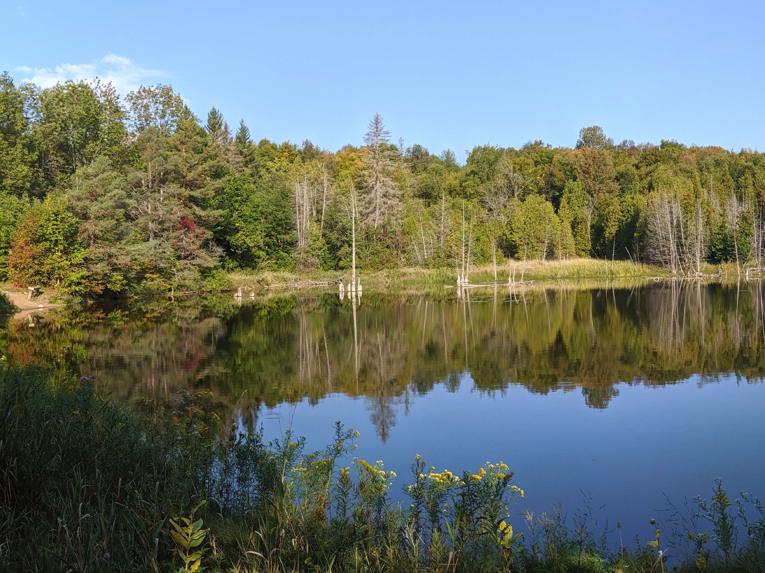
Setting aside the large volumes of foot traffic, the Mono Cliffs Trail is a beautiful walk through the forest that will allow you to disengage from the outside world and focus on the outdoors. While out on this hike, you will pass through peaceful woodland settings, walk between large rock formations, and look out over the calm waters of charming lakes. This is a great way to get out with the family and explore an interesting part of the scenic Bruce Trail.
Setting out from the trailhead on 2nd Line, pass through the gate and head to the north to enter into the dense cover of the forest, making sure to turn right at the first trail junction that you come across. After 738ft, head right at the four-way intersection onto the Bruce Trail/Cliff Top Trail, following it through the forest for 1.0mi to arrive at the edge of a charming lake. Make your way around the water and keep right through the two forks in the trail, turning left onto the path immediately after to begin the South Outlier Loop.
Climbing gently uphill through the tree cover, you will reach another fork in 200m. Head right to cross the open terrain to the east for 886ft and pick up the trail on your left that will lead you back into the forest. Here, you will make your way around the forested loop for 1.1mi, following it around the edge of the cliffs to their north point, where you will come to a junction near several rock crevices. Ignore the trail on your right and continue around the loop as it turns to the south, leading you through the forest and slightly downhill for another 1.1mi to arrive back at a junction near the small lake that you had previously passed.
Head right here onto the Walter Tovell Side Trail and follow it north for the next 0.6mi to make your way through the low point of the canyon and arrive at a fork in the trail. Follow this to the left and continue along the path while taking in the relaxing atmosphere of the forest and beautiful views of the surrounding rock formations and caves. After 0.5mi, turn left onto the Carriage Trail and make your way up the steps to gain some elevation along the escarpment. After arriving at the four-way intersection from earlier on in your hike, pass straight through and keep left along the trail to return to your vehicle having completed the Mono Cliffs Trail.
Frequently Asked Questions
Is there a fee to get into Mono Cliffs Provincial Park?
Accessing the park does not require a fee, although certain parking areas will require you to pay.
How far are the Mono Cliffs from Toronto?
With a road distance of just 57.8mi from Toronto, it is easy to see why the park has become a popular destination for people to escape from the city to reconnect with the outdoors.
Insider Hints
Foot traffic on this trail can be extremely high during the summer weekends. Try visiting the park on a weekday or in the off season to enjoy the trail without the crowds.
Make sure to stay on the marked trails to avoid falling into a crevasse or disturbing the surrounding plant and animal life.
Wear proper hiking footwear to better traverse uneven terrain.
Similar hikes to the Mono Cliffs Trail hike

Loree Forest Loop Trail
Hiking the Loree Forest Loop Trail is a wonderful outdoor excursion near Collingwood that offers amazing views overlooking the blue…

Old Baldy Lookout Trail
The Old Baldy Lookout Trail is a fantastic day-hike in Grey County that will take you along an elevated position…

Burnt Point Loop Trail
The Burnt Point Loop Trail is a fantastic hiking route near Tobermory that will lead you through the beautiful terrain…


Comments